Coolreagh
Houses within 15km of this house
Displaying 43 houses.
Houses within 15km of Coolreagh
Displaying 43 houses.
| House name | Description | |
|---|---|---|
| Woodpark (Woodpark Lodge) | Phillip Read was occupying Woodpark, parish of Inishcaltra, valued at £28, at the time of Griffiths Valuation. It was also recorded as his seat by Lewis in 1837. The OS Name Books record the existence of Woodpark House in Woodpark townland, "the residence of counsellor Reid". The house later passed by marriage to the Hibbert family. In 1894 Slater refers to it as the seat of Robert Fiennes Hibbert. In 1906 the house was valued at £69, the property of Flora J. Hibbert. It was destroyed by fire in June 1921. The site of this house is now located in county Clare. | |
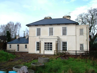
| Mountshannon | This house was located in county Galway until 1898. Weir states that the original house at Mountshannon was a single-storey building which was enlarged to two storeys in the nineteenth century. At the time of Griffith's Valuation it was occupied by Mary Tandy and was valued at £12. In 1906 it was the property of James Wakely and was valued at £17. The house was damaged by fire in June 1921. It later came into the possession of the Talbots of Malahaide who presented it to An Óige (IYHA) for use as a youth hostel in 1956. It was offered for sale in 2007. |
|
| Millbrook | A 19th century house occupied by the families that ran the mill. At the time of Griffith's Valuation the occupier was Peter Macmillan who held the property from Thomas Arthur. The buildings were valued at £40. A house is still extant in the area but on an adjacent site. | |
| Glenomera | Glenomera was the seat of the Arthur family from the mid 17th century until the early 20th century. In 1786, Wilson refers to Ballyquin as "the fine seat of Mr. Arthur". It is labelled Ballyquin House on the 1st edtion Ordnance Survey map but as Glenomera on the later 25-inch edition. Lewis wrote in 1837 that Glenomera was "celebrated as a shooting station for grouse and pheasant". It was held in fee by Thomas Arthur at the time of Griffith's Valuation and valued at £35. The house is now demolished. | |
| Hurdleston/Hurdlestown | This was the seat of the Bentley family in the 18th and 19th centuries. The present house dates form 1871 and may well incorporate parts of the former house. The buildings were valued at £40 in 1906. Restored at the end of the 20th century. |

|
| Violet Hill | Home of James Going and his wife Jane Patterson from at least 1837. Occupied by their third son Wyndham Quin Going in the mid 19th century when the buildings were valued at £20. The house remained the property of the Going family until it was sold in 1924, now a ruin. | |
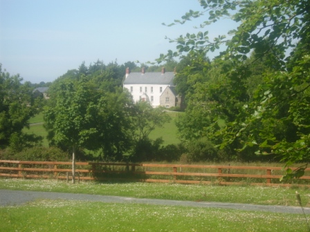
| Woodfield | Built c 1720s by the Bridgeman family and sold by them to the Reverend M. Locke in 1780. Wilson records it as his seat in 1786. The house was bought by William James O'Brien in 1802. He died in 1822 and the house was occupied by C. Walker in 1837. By the mid 19th century Thomas W. Butterfield was leasing it from the Reverend Savage Hall who had married Anne O'Brien. The buildings were valued at £22. It remained in the possession of the Hall family until at least the late 19th century, it was leased to the Bourke family. This house was advertised for sale in January 2009. |
|
| Ballycuggaran | Weir writes that the present house dates from the late 19th century. An earlier building was in the possession of members of the Church of Ireland episcopacy. Occupied by Marcus Patterson in the mid 19th century and held by him in fee. The buildings were valued at £8. In 1906 Marcus Wyndham Patterson owned Ballycuggaran with 618 acres of untenanted land. [Grid reference is approximate]. | |
| Ballyvally | A house in the possession of the Parker family from the early 19th century, the Reverend Standish Grady Parker was resident in 1814. His brother William Parker was in residence from at least 1837, holding the property from members of the Law family. By the end of the 19th century Robert Gabbett Parker lived in the house, which is still extant. | |
| Kincora Lodge | A house on the outskirts of Killaloe, Weir writes that it was the home of an O'Brien family in the 1840s. Occupied by Captain Frederick Lowe, Royal Navy, at the time of Griffith's Valuation, who held it from Thomas Macnamara. Captain Lowe married Maria Christina, daughter of Henry Ross-Lewin of Ross Hill in 1847. In the 20th century the house belonged to the Butler-Stoneys for some time. | |
| Tinerana | The Purdon family, originally from Cumberland, held this property on the shore of Lough Derg from the mid 17th century. In the ownership of Simon George Purdon at the time of Griffith's Valuation when the buildings were valued at £30. The Irish Tourist Association Survey File of the 1940s states that the house was built "about 70 years ago", contains about 60 rooms and the original residence of the Purdons stands adjacent to the new house. The estate was sold to the Gleeson family who owned the Athlone Woollen Mills in 1901 and the house later became the property of Dr Carmody who opened a health centre. The property was offered for sale in 2012. |

|
| Mount Baylee | In 1837 the residence of H. Bayley. Occupied by Susannah Baylee at the time of Griffith's Valuation, who held it from Henry Thomas Baylee. The buildings were valued at £8. Weir writes that in the 20th century Miss Edie Baylee married the father of the architect Percy le Clerc. The house is still lived in. | |
| Sunville | Occupied by T. Studdert in 1837 and by Robert Hanley at the time of Grifftith's Valuation who held the property from Thomas Prosser. Also known as Sion Ville. A building is still extant at the site. | |
| Doon House | A seat of Sir Hugh Dillon Massy in the 1780s, leased to Richard Harte in 1814 and the Reverend W. Butler in 1837. Weir writes that the house was rebuilt by Richard Bentley in 1845. Griffith's Valuation records Richard Bentley as the occupier, he held it from Sir Hugh Dillon Massy. The buildings were valued at £18. The house belonged to the Whitehead family in the early 20th century and was later demolished. | |
| Ayle | The home of a branch of the Macnamara family in the 18th and 19th centuries. It was advertised for sale in 1850 and Griffith's Valuation records Joseph Browne as the occupier. He held the property in fee, the buildings were valued at £14. Weir writes that the original house was demolished and that the house now standing which was occupied by the Walshes, agents to the Macnamaras, was uninhabited. see http://www.thisoldhouse.com/toh/article/0,,568230,00.html | |
| Knockbeha Cottage | A house situated on the Molony estate at the time of Griffith's Valuation. occupied by John McArthur and valued at £16. Weir writes that it was used as a shooting lodge and an R.I.C. barracks. A modern house has been erected on the site. Another house is also marked on the first Ordnance Survey map 1842 at R575 910. | |
| St Catherines | An O'Callaghan property from the 18th century, George O'Callaghan was residing at St Catherines in 1814 and D. Sampson in 1837. Burkes 1904 records George's brother Edward "of Coolready" and he was married to a Miss Sampson. At the time of Griffith's Valuation the house was unoccupied and Ralph Westropp was the immediate lessor. The buildings were valued at £24. Only the servants' quarters now remain and have been converted into a family home. |

|
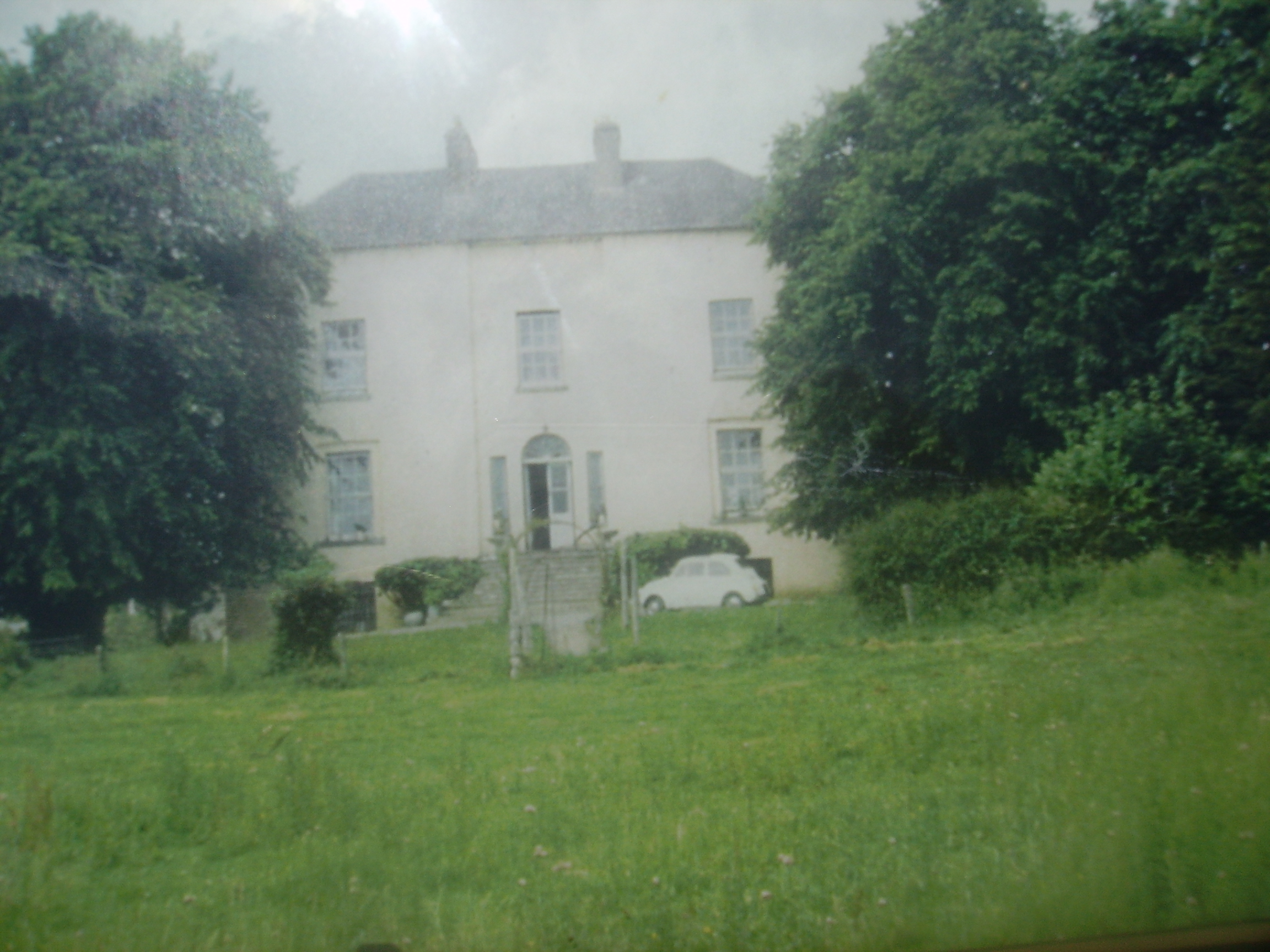
| Moynoe | In the early 18th century the Ringrose family lived at Moynoe. It is probable that Sir John Reade built the late 18th century house. He was the occupier in 1814 and Fitzgibbon Hinchy was living in the house in 1837. The house was unoccupied at the time of Griffith's Valuation, Thomas Wadson was the immediate lessor. The Sampson family lived in it for the remainder of the 19th century and well into the 20th century. Edward MacLysaght surveyed the papers of Miss Mary Sampson of Moynoe circa 1944. Bought by the present owners in the mid 20th century, the house was demolished in 1998. see http://www.esatclear.ie/~moynoe/Page_16x.htm/ |
|
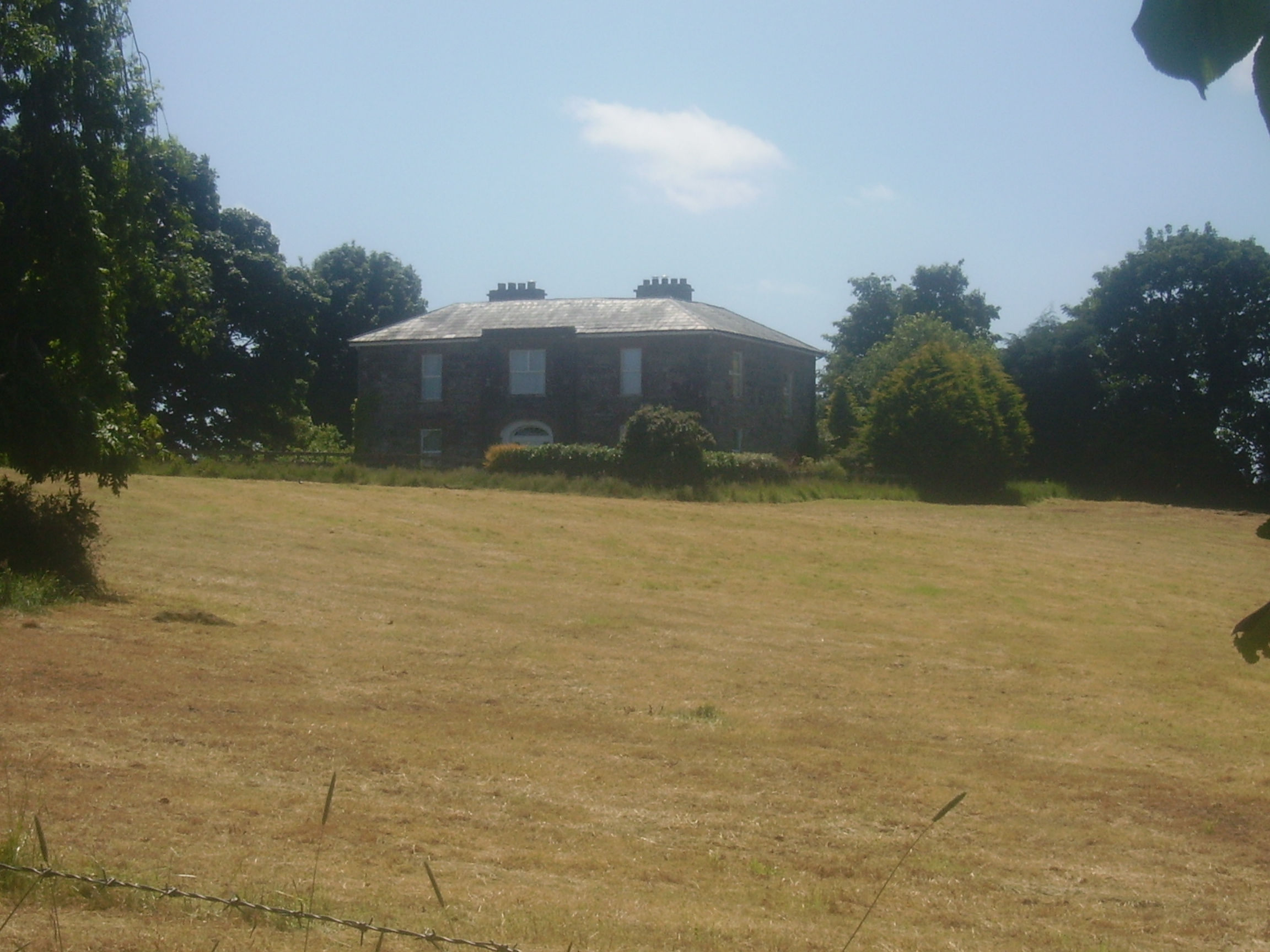
| Fort Edward | Built post the first Ordnance Survey probably by a member of the Westropp family. Occupied by Dr Patrick Cullinan at the time of Griffith's Valuation who held it from the Reverend John Gleeson. The house is still inhabited and well maintained. |
|
| Ballyvannan | The seat of Lord Dunboyne in 1837 and in the mid 19th century of James Crotty who held it from Lord Dunboyne when the buildings were valued at £3. The house is still occupied. | |
| Cloonusker | On the first Ordnance Survey map Cloonusker house is marked "in ruins". However by the time of Griffith's Valuation Henry Sparling was occupying a steward's house, which he held from Lord Norbury. The buildings were valued at £8. | |
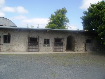
| Drewsborough | A home of the Drew family from the mid 18th century, occupied by Ringrose Drew in 1814 and by Francis Drew in 1837. Bought by Michael Skehan in the Encumbered Estates Court, he is recorded as being resident at the time of Griffith's Valuation, when the house was valued at over £22. Drewsborough, or Victoria Park as it was then known, was sold to William Scanlon in 1869. In 1899 it was bought by John O'Brien, grandfather of Edna O'Brien, the author. The original house was burnt in June 1921. A modern bungalow has been built on part of the site and the O'Brien home is closeby. Some farm buildings and an underground cellar still remain. |
|
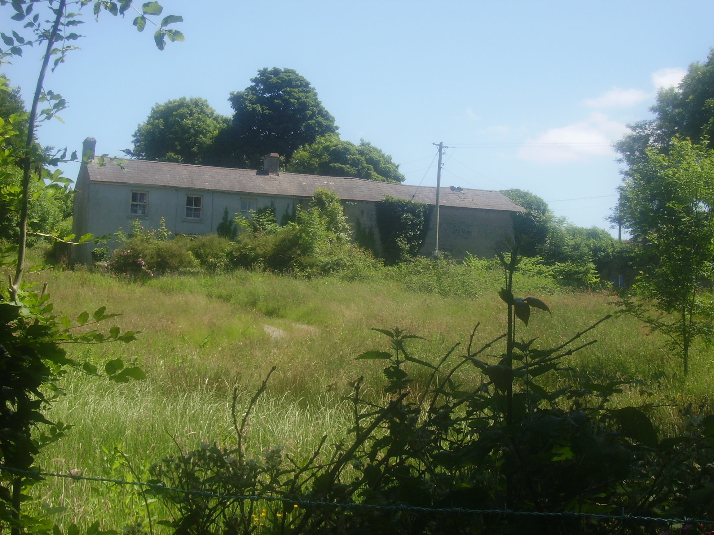
| Ballinahinch | A branch of the Molony family appear to have occupied Ballinahinch for some time in the 18th century. Occupied by Cornelius O'Callaghan in 1814 and 1837 and by his son Charles George in the mid to late 19th century. It is recorded as his seat in 1894. By 1906 Ballynahinch mansion house valued at £45 was in the possession of the Gore family. Weir writes that owners left when the "Troubles" began early in the 20th century and the house was vandalised. It was later demolished. The yard buildings remain and are still in use. |
|
| Derrymore | The MacGraths had a 17th century home here which was incorporated into the servants' quarters when the Gores built their 18th century mansion. They continued to occupy the house until the early 20th century. The 17th century house and servants' quarters still stand but the rest of the house has been demolished. Some of the stone and stone features from Derrymore were taken to build a house near Drewsborough on the outskirts of Scarriff, Discovery Map 58, R637 836. | |
| Kilgory | The main residence of the O'Callaghan family in the 18th century situated on the shore of Kilgory Lough. In 1786 Wilson refers to it as the seat of Mr. Callaghan. Towards the end of the century the house became the residence of the O'Connells. Colman O'Loghlen married a sister of Daniel O'Connell of Kilgory before 1783. In 1814 Kilgory was the home of Daniel O'Connell and in 1837 Maurice O'Connell was the proprietor. It continued to belong to the O'Connells for the rest of the 19th century. Weir writes that most of the house was demolished in 1928. | |
| Newgrove | Home of the Browne family in the 18th century and for the first half of the 19th century. In the 1850s this 18th century house, valued at £30 was in the possession of Eliza Browne, widow of Thomas Browne of Newgrove who died in 1847. Mrs Browne died in 1864 and the house and estate passed to the Brady family. Only some walls of the house remain. |

|
| Bunavory | A house on the Molony estate, occupied by William Scanlan in the 1850s. The house is now divided into two residences. | |
| Cragg | Home of a branch of the Molony family from the 1730s to the early 20th century. The house is still extant and lived in. It was valued at over £14 in the mid 19th century when it was held by Anne Molony in fee. | |
| Fort Anne | An 18th century house that was in the possession of Robert Westropp, eldest son of Poole and Mary Westropp, by 1814. His son John, who married Maria Macnamara, was occuping the house in 1837 and their son Robert was resident in the mid 1850s. Robert Westropp held the property in fee and the buildings were valued at £25. This house passed into the possession of the O'Callaghan Westropp family. It no longer exists. | |
| Kiltanon | Kiltanon was the home of the Molony family for at least two centuries. The house built in 1833 had a drive which linked it to the other nearby Molony residences at Bunavory and Cragg. The house was burnt in September 1920 and is now a ruin. In the second half of the 19th century another house, known as the Home Farm House, was built at Kiltanon for Marcus Molony, eight son of James Molony and his agent. This house is still extant. |

|
| Nutgrove Cottage | Another Molony house in the townland of Kiltanon, occupied by James Robb at the time of Griffith's Valuation, when it was valued at £20, now a ruin. | |
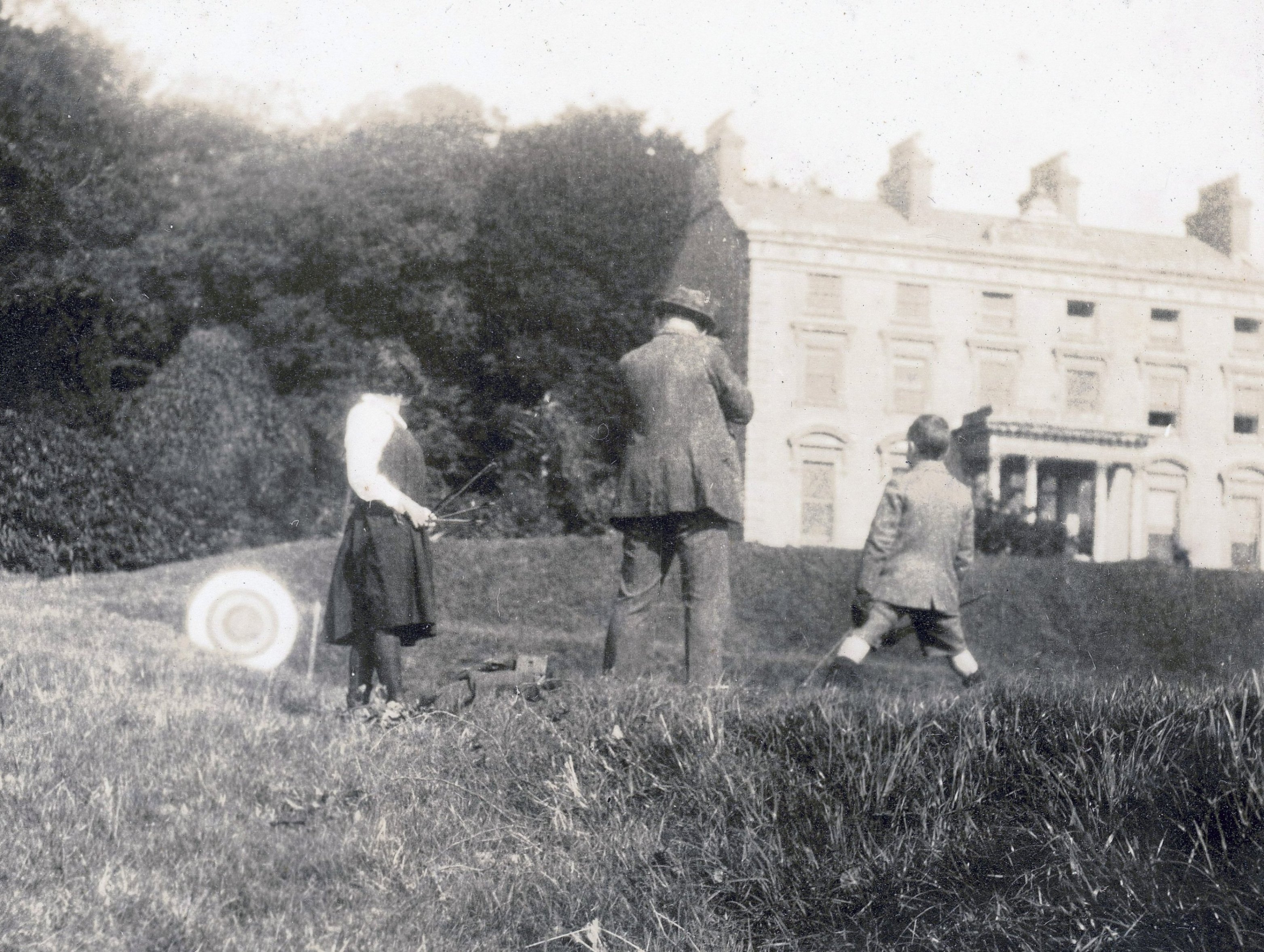
| Maryfort | An early 18th century house with late 19th century embellishments, home of the Westropps. By the early 19th century it was occupied by John O'Callaghan (died 1818) who seems to have moved there from Kilgory. Occupied by his grandson John O'Callaghan at the time of Griffith's Valuation, valued at £35 and held from George Westropp. In the 20th century it was the home of his son Colonel George O'Callaghan who assumed the additional name of Westropp. Weir writes that the house was demolished in 1967 by Colonel Conor J. O'Callaghan Westropp, the last member of the family to live there. |
|
| Tyredagh Castle | Built by at least 1814 when it was occupied by Thomas Brown who in that year married Elizabeth Comyn. In 1837 Mrs Browne was in residence. By the time of Griffith's Valuation Mary Gore was the occupant holding the property from Eliza Browne. Weir writes that the house was accidentally burnt down about 1903. | |
| Raheen | This was the home of the Brady family from the mid 18th century. In 1837 Reverend Thomas B. Brady occupied the house. By the time of Griffith's Valuation William Moreland was in possession and the house, offices and mill valued at £4.10 shillings were leased to Patrick Flynn. In 1906 buildings at Raheen ,which included a mansion house and 401 acres of untenanted land belonging to Robert W. Moreland, were valued at £37. In 1908 the property was bought by S.R. MacLysaght of Mallow, father of Dr Edward MacLysaght, genealogist. The Irish Tourist Association Survey file refers to Raheen Hospital beautifully situated amid a large forest on the shores of Lough Derg. The house no longer exists. | |
| Kilbarron | A property originally associated with the Ryan family. Mr Robert McGrath was residing at Kilbaron in 1814 and in 1837 Lewis records that E. McGrath rebuilt the house "on the site of the old mansion". At the time of Griffith's Valuation the buildings valued at £6.5 shillings were held by Edward McGrath in fee. The house is now a ruin. | |
| Annaly Lodge | A house built post 1850 as a shooting lodge for the White family. Sold in the late 1870s to the Phelps it later became the property of the Forestry Department. Back in private hands now it is still occupied. [Grid reference is approximate] | |
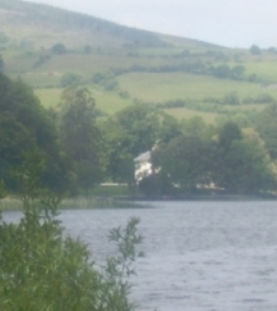
| Caher | Situated close to the shore of Lough Graney, sheltered by trees this house is well maintained and occupied. It was leased by the O'Haras to the Studderts in the 1830s. At the time of Griffith's Valuation William O'Hara, one of the seven sons of Robert O'Hara of Raheen, was the occupier. He held the house valued at £24 and surrounding 255 acres from [his mother] Frances O'Hara. Purchased by the O'Dwyers in the early 20th century. |
|
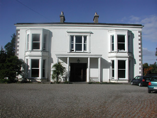
| Castlelough | A circa 1820s house attached to an earlier building on the shore of Lough Derg, Castlelough was the seat of the Parker family. In 1786 Wilson refers to Castlelough and Castletown as seats of the Parker family. Occupied by Anthony Parker in 1814 and in 1837 who was succeeded in that year by his brother the Reverend Standish Grady Parker. The representaives of the Reverend Standish occupied the house at the time of Griffith's Valuation when the buildings were valued at £51+ and held in fee. The Parkers were still resident at the end of the 19th century. This house is still in use as a country residence. |
|
| Derry Castle | In 1786, Wilson writes that Derry Castle was the seat of Michael Head. Lewis records Derry Castle as the seat of M.P. Head. In 1840 the Ordnance Survey Name Books describe the demesne at Derry as "chiefly composed of platation and ornamental ground. Derry House (a commodious building) is the residence of Michael Petty Head". By the time of Griffith's Valuation it was held by Francis Spaight in fee, the buildings were valued at £71. ''The Nenagh Guardian'' of 15 April 1872 report on a bad fire at Derry Castle. Spaight family members appear to be still resident in the early 20th century. The National Inventory of Architectural Heritage states that the castle is now demolished. |

|
| Mary Ville | This house is marked as Mary Ville on the first edition Ordnance Survey map. In 1840 the Ordnance Survey Name Books refer to it as "a respectable farmhouse and offices" the proprietor of which was Michael Head. This may be the house recorded by Lewis as Derry Ville inhabited by J. Salmon. At the time of Griffith's Valuation Mrs Mary Sparling was resident, holding the lodge valued at £13 from Francis Spaight. Buildings are still extant at this site. | |
| Ryninch | Lewis records J. O'Brien of Ryninch and Jeremiah O'Brien held a house valued at £10 and 115 acres from Francis Spaight in the mid 19th century. There were quarries in this townland. | |
| Lakeview | Henry D. Head occupied a house valued at £14+ in this townland in the mid 19th century. He held the property in fee. A house and large farmyard are now located at this site. | |
| Garruragh House | In 1786 Wilson refers to "Garuragh" as the seat of Mr. Harrison. At the time of Griffith's Valuation, the house was part of the O'Callaghan estate but leased to the Tulla Board of Guardians as an auxiliary workhouse when the buildings were valued at £48. It is labelled Garruragh House on both the 1st edition and 25-inch edition Ordnance Survey maps though much of the buildings have disappeared by the 1890s and only some ruins remain now. |

