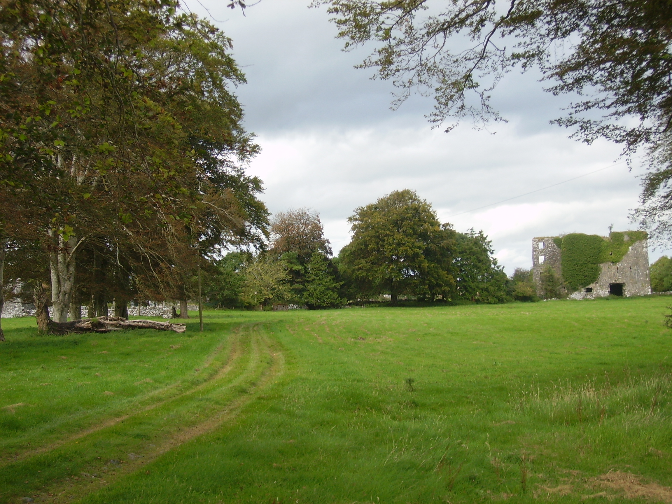
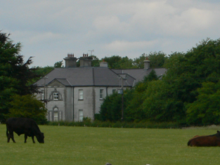
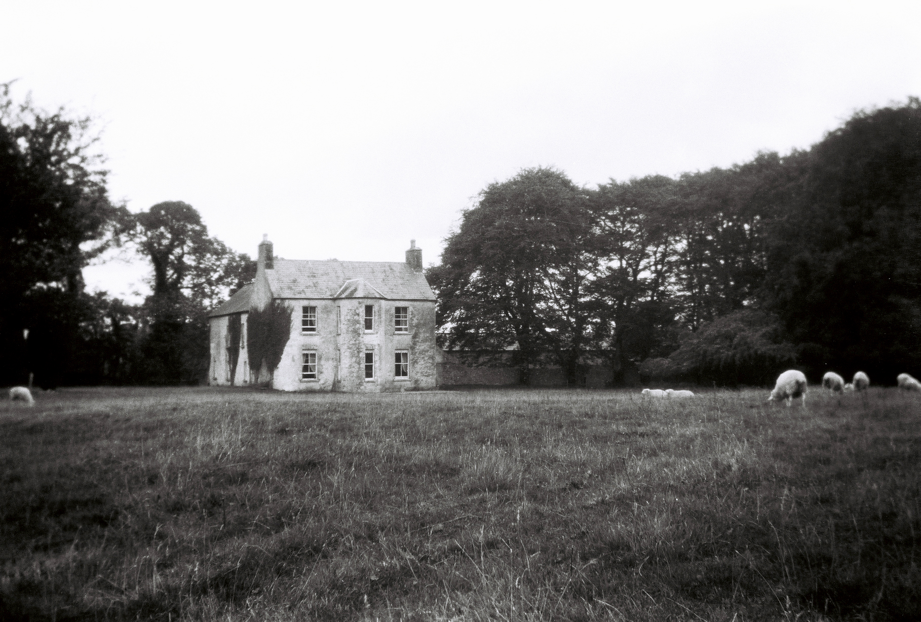
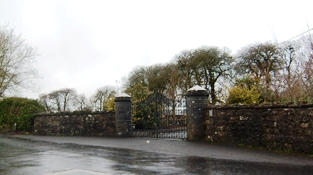
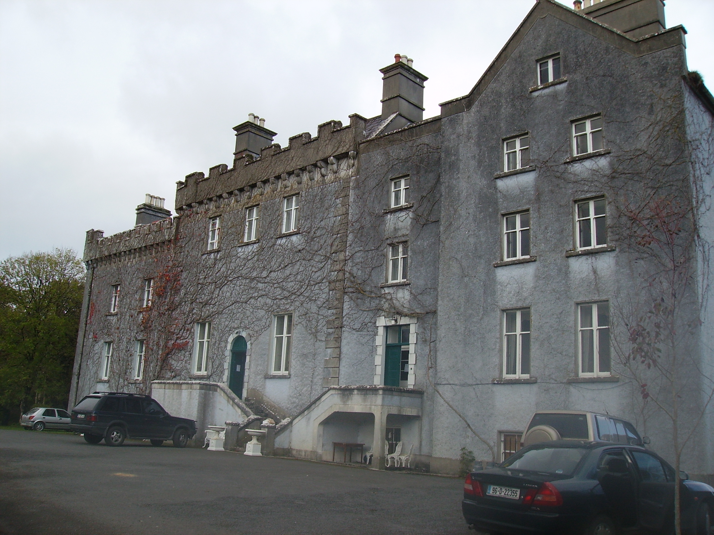
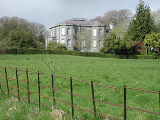
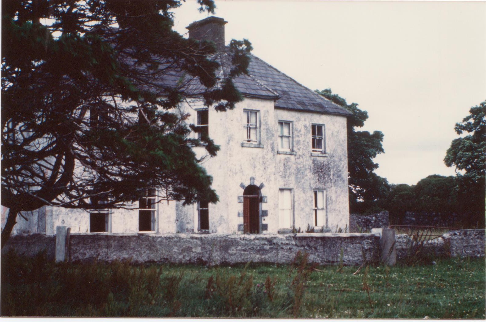
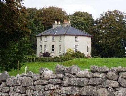
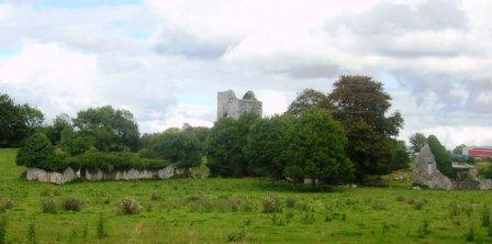
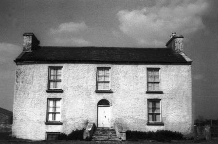
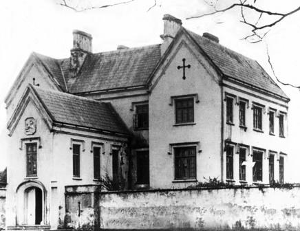
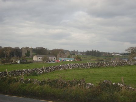
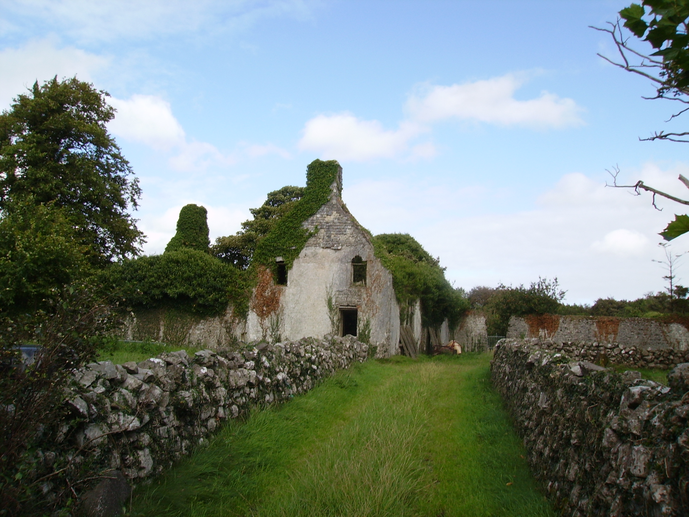
Kilroe
Houses within 15km of this house
Displaying 69 houses.
Houses within 15km of Kilroe
Displaying 69 houses.
| House name | Description | |
|---|---|---|
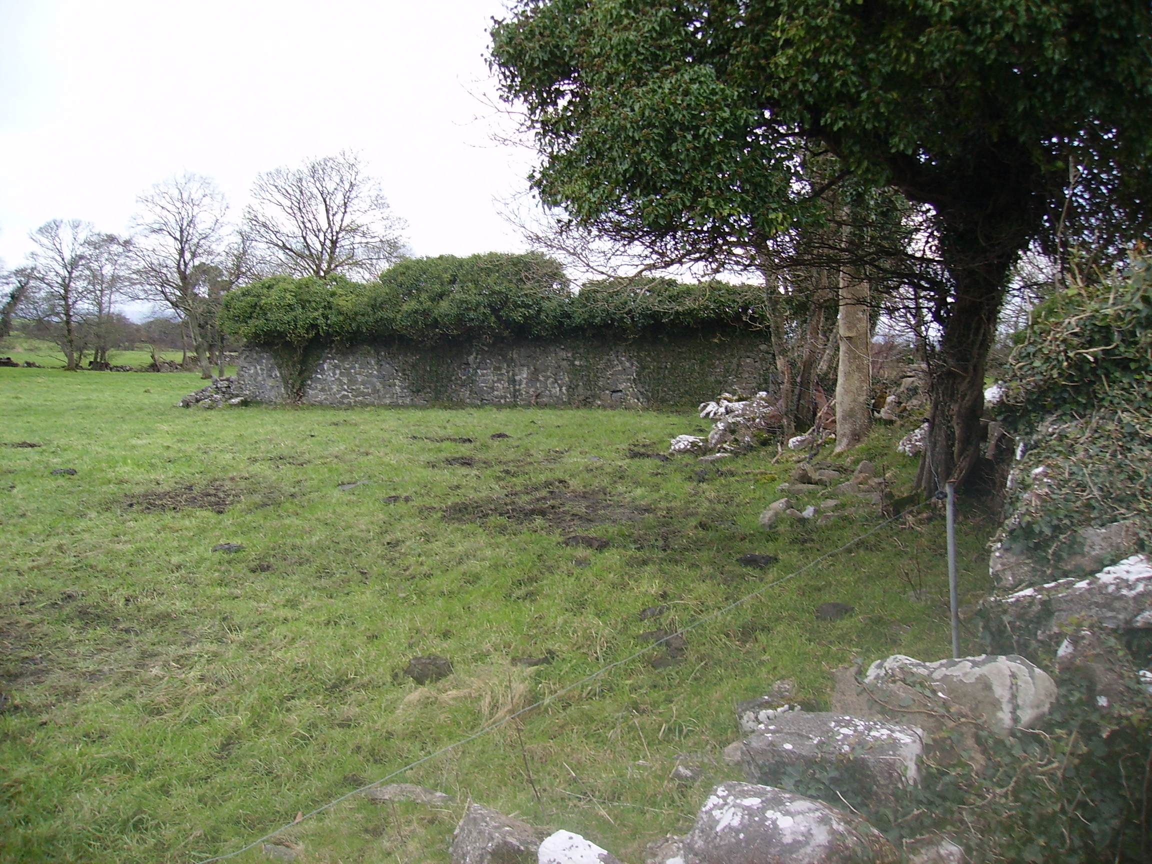
| Moyne Lodge | Moyne Lodge was occupied by the Golding family in the early part of the 19th century and by Martin Kirwan Blake before the sale in 1852. The house is no longer extant but some stone walls are still evident with the old castle to the right. |
|
| Glencorrib | Home of Robert Dillon Browne and later of the O' Higgins family, the house is now demolished. At the time of Griffith's Valuation, it was held in fee by George O'Higgins, MP, and valued at £12. | |
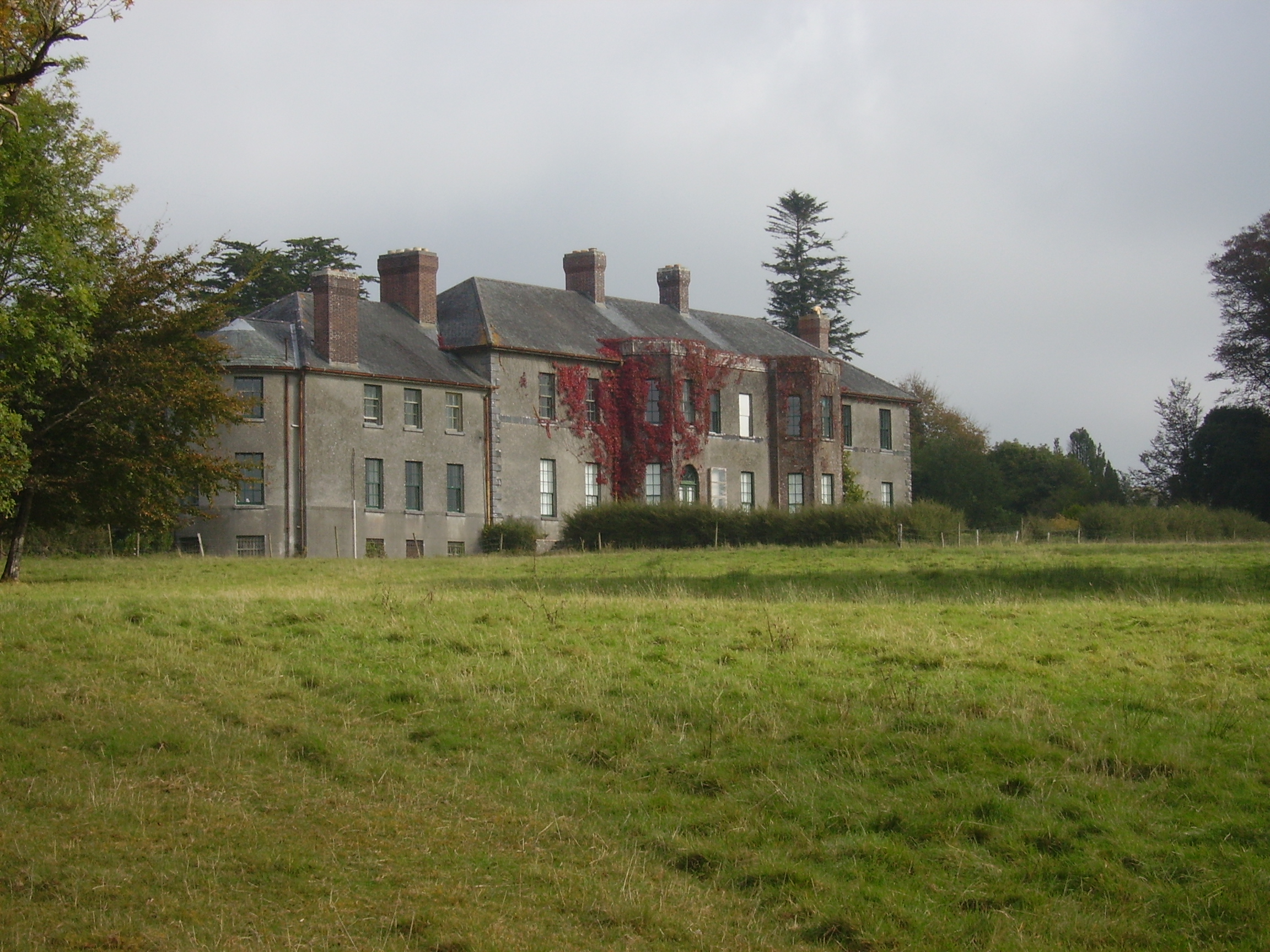
| Dalgan | Built in 1801 as the new home of the Kirwan family formerly of Claremount, Claremorris. It was bought by the Duke of Bedford in 1853 for Lady de Clifford, the wife of his first cousin. In the 1860s Henry Edward Joly and Charles Joly are recorded at Dalgan Park (''Connaught Telegraph'' 27 March 1867). In 1894 Slater noted it as the seat of Allan J. Algie. The house became a seminary for the missionary Society of St Columban in 1918. The Irish Tourist Association file describes the fine mansion as in ruins. It contained about 50 rooms and had been stripped of its roof and fittings about a year previously, circa 1944. It is now demolished. |
|
| Ballycurrin | A house built in 1828 on the shore of Lough Corrib to replace an older one. Wilson refers to the latter as the seat of Henry Lynch in 1786. Held in fee by Charles Lynch at the time of Griffith's Valuation, when it was valued at £18 10s. Slater recorded it as the seat of Charles Lynch in 1894. It was burnt in 1921. In 2007 this house was being renovated and offered for sale. |
|
| Lakefield | In 1786 Wilson refers to the seat of Nicholas Reddington, situated near the lake. He may be referring to this house whch he says was "daily improving in beauty and commands a very extensive prospect". Home of James Fox in the 1830s. Occupied by John Commins at the time of Griffith's Valuation, leasing from the de Clifford estate. The house was valued at £8 at that time. It is still extant. | |
| Danesfield | At the time of Griffith's Valuation, George E. Burke was leasing Danesfield to Henry Daly when it was valued at over £23. The house is demolished, however the yard bell holder and the remains of the walled garden are still visible. |
|
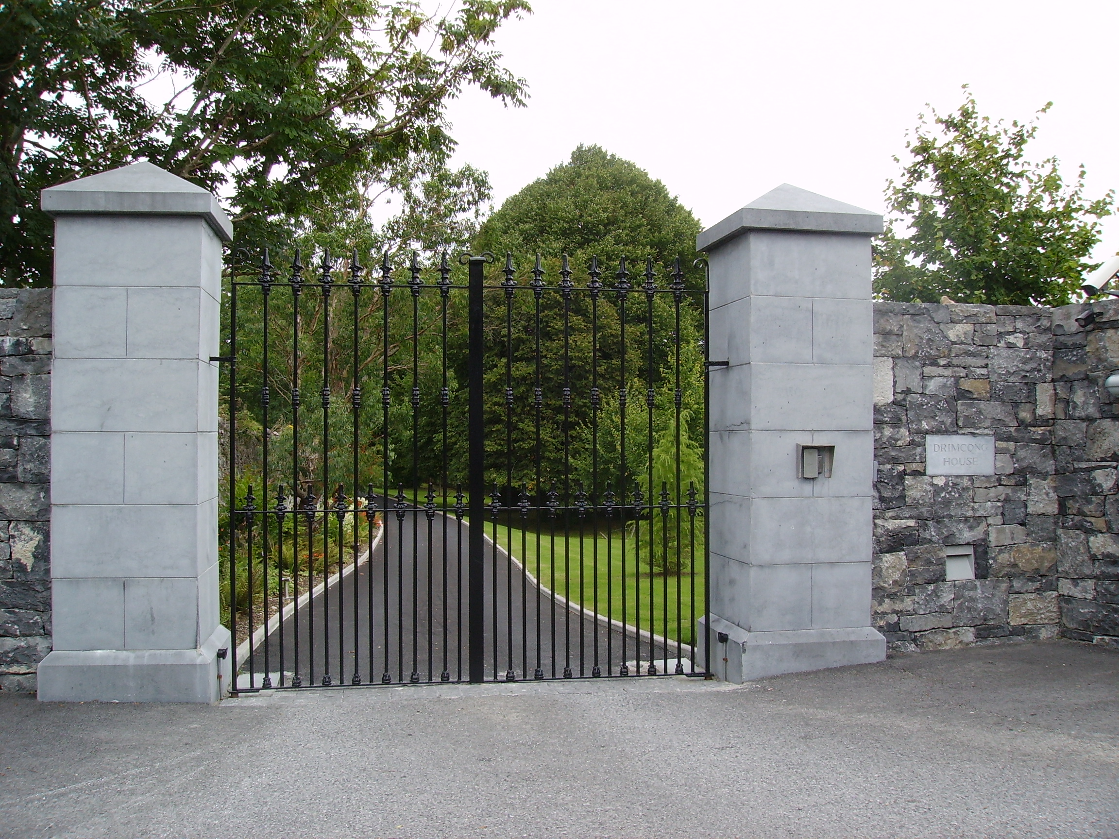
| Drimcong | Originally a Lynch home which was sold to the Kilkellys in the early 19th century. Wilson refers to it as the seat of Mr. Lynch in 1786. It was held in fee by James Kilkelly at the time of Griffith's Valuation when it was valued at almost £16. In the late 20th century Drimcong House functioned as a gourmet restaurant, it is now a private residence. |
|
| Ross | In 1786 Wilson refers to Ross as the seat of Mr. Martin, It was held in fee by James Martin at the time of Griffith's Valuation, when it was valued at £20. On the shore of Ross Lake, the childhood home of the author, Violet Florence Martin is now open to the public for part of the year. Home of Claude Chevasse in the 20th century and later restored by the McLaughlin family, who reside there. |
|
| Knockbane | Occupied by Anthony O'Flaherty at the time of Griffith's Valuation and valued at £33. The house no longer exists but extensive farm buildings are still visible. The property is still owned by descendents of Anthony O'Flaherty. |
|
| Brownville | This house was originally known as Eyreville and was leased by the Martins to the Eyres in the latter half of the 18th century. Wilson refers to it as the seat of Mr. Eyre in 1786. In 1808 it was sold to James Valentine Browne and the name of the house was changed to Brownville. In the later 19th century it was the home of Dr McCormack, the Bishop of Galway. Portions of the original house may have been incorporated into out-buildings at the rear of the site. | |
| Killeen | Originally known as New Park, Killeen House was bought by Peter S. Comyn from the Martins in 1849 and it became his main residence. He died in 1866 and left the house to his niece Rose Comyn. It is still extant and was run as a luxury guesthouse until 2008. |
|
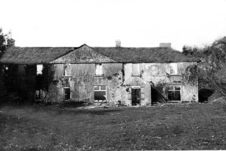
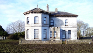
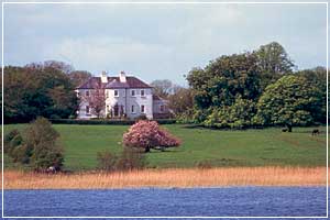
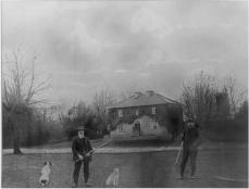
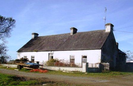
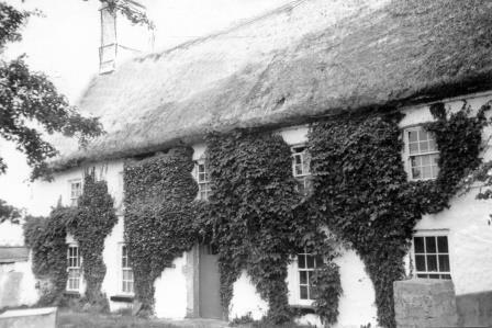
| River View [Donaghpatrick] | This house was occupied by James Kearns in the 1850s, leasing from the Duke of Bedford's estate, when the house was valued at £8. It is still extant and occupied. |
![Photo of River View [Donaghpatrick]](https://landedestates.ie/storage/img/orig/184.jpg)
|
| Ross Lodge | Occupied by Anthony Blake in the second decade of the 19th century and by Walter John Blake in the 1830s. It was leased by Walter Blake from Anthony Blake at the time of Griffith's Valuation, when it was valued at almost £9. Named as Ross Lodge on the first edition Ordnance Survey Map the house seems to gone by the time of the 25-inch map in the 1890s. This may be the property referred to by Wilson in 1786 as "The Lodge, beautiful seat"of a Mr. Shaw. | |
| Ballyglunin | An 18th century house with 19th century additions, occupied by the Blake family for over 2 centuries. It is still extant and run as a conference centre. |
|
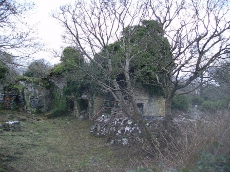
| Brooklodge | This property was leased to Christopher French by Ambrose Deane on 16 June 1775 for 1 life and 99 years. He built a house which later became a Blake residence held from the Skerretts, who had inherited it from the Deanes. It was occupied by Martin J. Blake at the time of Griffith's Valuation, when it was valued at £40. The house is now a ruin. |
|
| Corrofin Lodge | At the time of Griffith's Valuation held by Pierce Blake in fee. The house was valued at £16. Some ruins remain at the site. |
|
| Annagh | In 1786 Wilson refers to Annagh as the seat of Mr. Bodkin. It was held in fee by Robert Bodkin at the time of Griffith's Valuation when the buildings were valued at £25. Annagh was the seat of M. Bodkin in 1894. The original house is no longer extant but old and extensive farm buildings still remain as well as an occupied house built in 1967. |
|
| Ardskeamore | The original house was occupied by the Brownes in the 1830s. Charles Kelly was leasing from James Browne in the 1850s when the valuation of the house was £10. By the 1890s this had been replaced by the existing house (M437420) which was renovated in 2006. | |
| Claran House | The home of the Browne family in the 19th century. It was occupied by Arthur Dillon Browne in the early 20th century. |
|
| Ower | In 1786, Wilson refers to "Aur" as the seat of Mr. Burke. The Ordnance Survey Name Books record John Burke as the owner in the 1830s. At the time of Griffith's Valuation, Joseph Burke held this property in fee when it was valued at £13. It was leased to Colonel Beddington in the 1920s and is now a ruin. |
|
| Winterfield House | Described in the 1830s as a neat 2 storied house, the home of Captain Butler. It was held in fee by John Butler at the time of Griffith's Valuation, when it was valued at £15. It is no longer extant. | |
| Srue | Occupied by Chris O'Flaherty in 1814 and marked on the first Ordnance Survey map 1838 in a triangle of land near the shore of Lough Corrib. Possibly built as a steward's or agent's house. It was listed as a herd's house by the time of Griffith's Valuation when it was held by the Law Life Assurance Society in fee. Remnants of the garden walls and of the farm buildings still remain. |
|
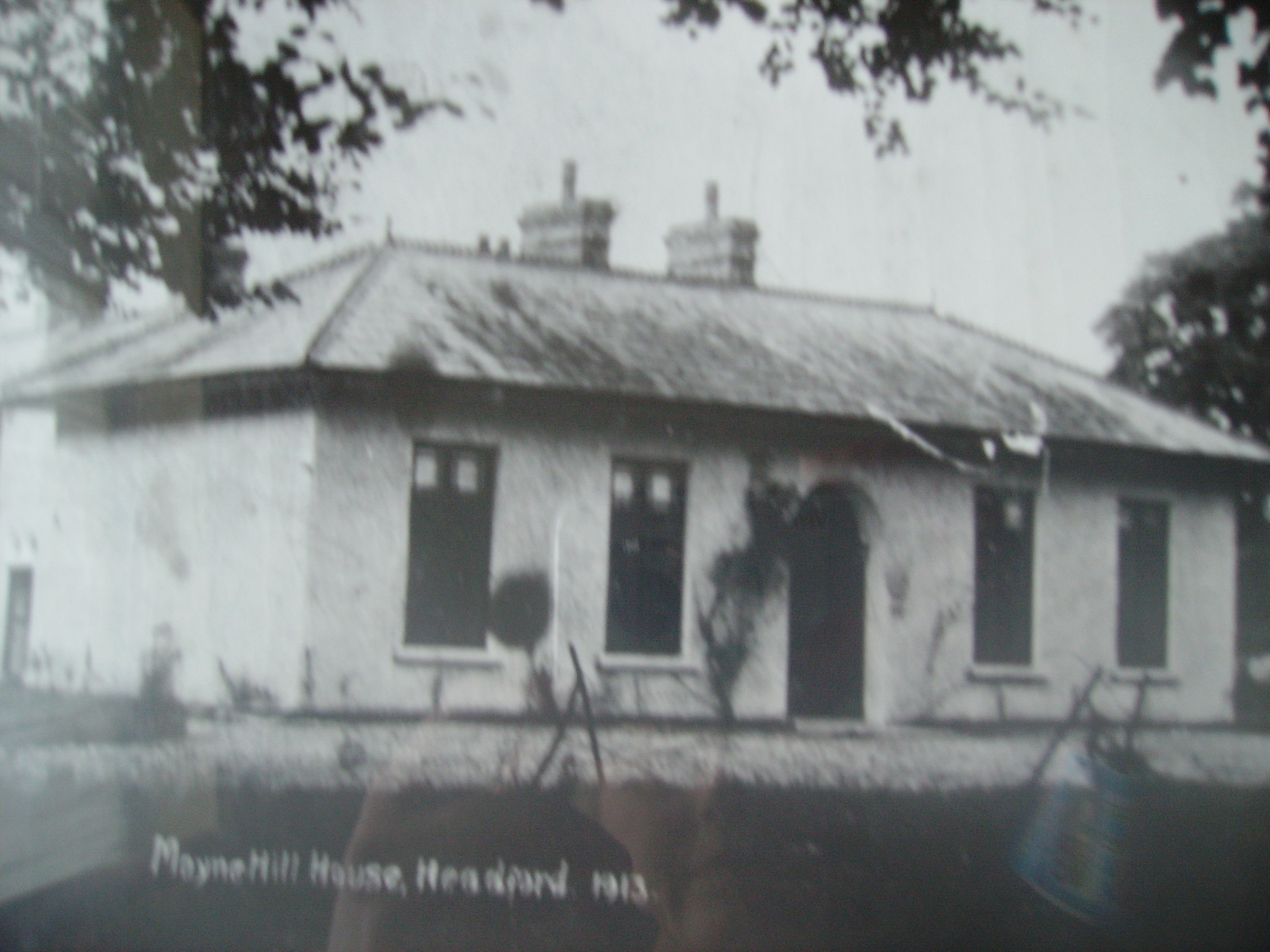
| Moyne Hill | Hughes writes that a Captain Carter bought Moyne Hill in 1852 from Charles Blake of Merlin Park. By 1906 James McDonnell was occupying the house. Soon afterwards it became the home of Thomas McDonagh of Headford Castle and his descendants still live there. The original house was knocked down circa 1950 and replaced by a modern bungalow. The original entrance gates and farm buildings are extant. |
|
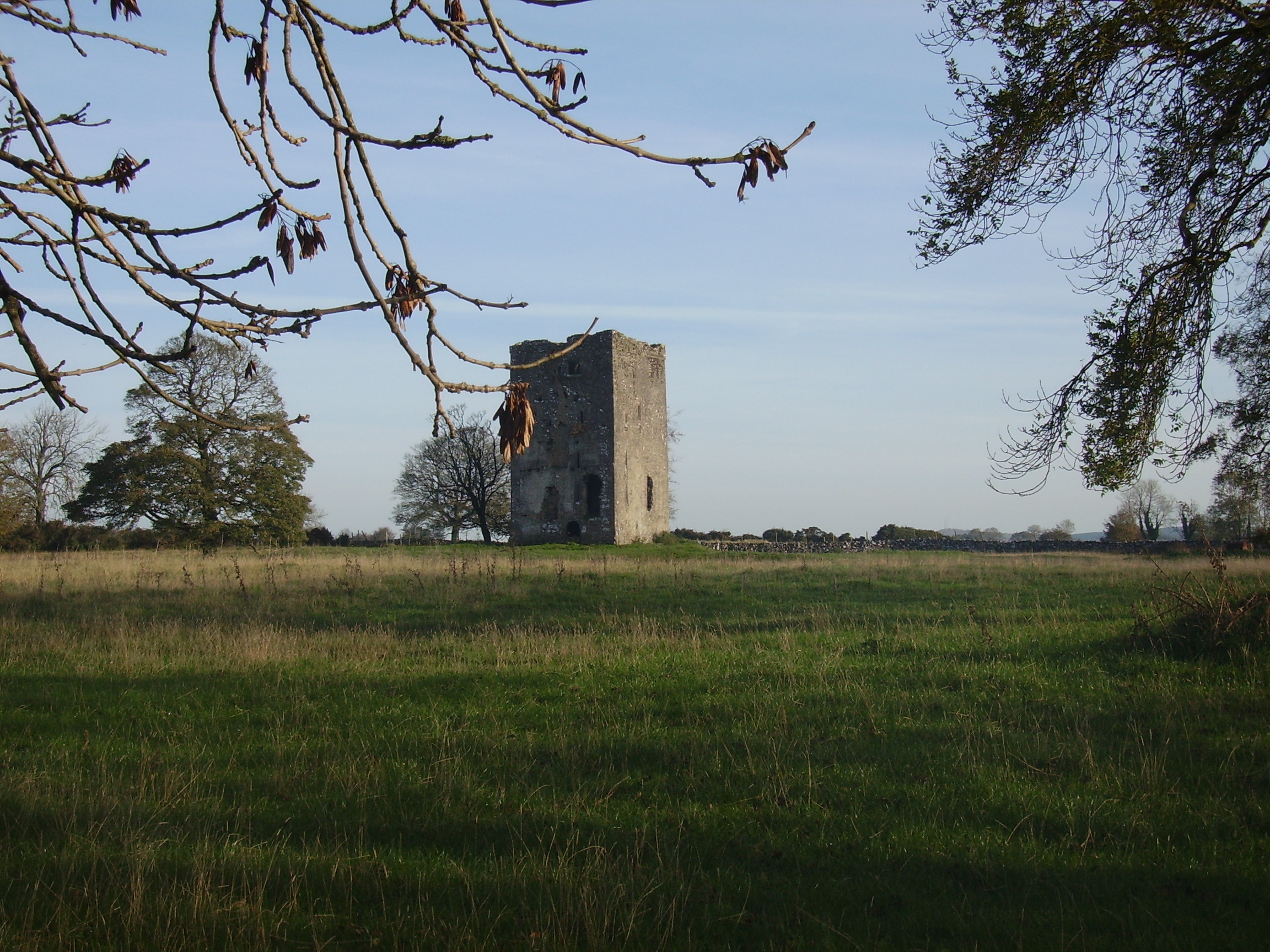
| Annaghkeen | The castle was in ruins by the late 1830s. | |
| Thomastown | At the time of Griffith's Valuation, Thomastown House, barony of Clare, was occupied by James Clarke and valued at over £10. The National Inventory of Architectural Heritage indicates that this is a two-phase house, the original part dating from the early eighteenth century. It is still extant and occupied. |
|
| Waterville/Cloonkeen | The residence of John Connis in 1814, of - Cunneys in 1837 and of Jane D. Coneys in the 1850s when it was valued at £10. . It is labelled on the 1st and 25-inch edition Ordnance Survey Maps as Cloonkeen. The property is now a ruin. | |
| Derrymaclaughna | A house appears to be located near the castle on the first Ordnance Survey map of 1838. The Ordnance Survey Name Books mention the ruins of a castle, a mansion house and a chapel in the townland. The property belonged to the Burke family in the 18th century as Wilson noted it as the seat of Mr. Burke in 1786. It became the residence of Thomas P. O'Flahertie of the Lemonfield family in the early 19th century. He was married to a daughter of Ulick Burke of Derrymaclaughna. At the time of Griffith's Valuation it was occupied by Thomas Cullinane who held it from James Browne. Derrymaclaughna was the residence of Alan Parker Close in the 1870s. In November 1887, Richard Rowland was offering for sale a quarter share of the lands at Errew, county Mayo, as well as lands at Derrymacloughna, barony of Clare, county Galway, in the Land Judges' Court. However, due to absence of bidding, the sale was adjourned. |
|
| Sylaun | Descriptions indicate that Sylaun House, which was valued at £7 at the time of Griffith's Valuation, was a single storey, thatched structure. No trace now remains of the house though other estate architecture is visible. | |
| The Grove | A house on the outskirts of the town of Tuam, occupied by Mrs Cheevers in 1814 and by Patrick Kelly at the time of Griffith's Valuation, who held it from Martin S. Kirwan. Earlier, in 1786, Wilson refers to it as the seat of Martin Kirwan. The house was described in the sale rental of the early 1860s as having two large reception rooms, eight bedrooms and two water closets. Run as a hospital by the Bon Secour Sisters 1945-2001. | |
| Mossfort | A house labelled Caherakeeny is shown here on the First ediiton Ordnance Survey map. It was valued at £12 and occupied by John Kilkelly at the time of Griffith's Valuation. The present house was constructed in the late nineteenth century and is labelled Mossfort on the 25-inch Ordnance Survey map of the 1890s. |
|
| Castlehacket | Castlehacket takes its name from the Hackett family who owned the land in the 14th century. An early 18th century house was built by the Kirwan family and lived in by their descendants until 1985. Wilson mentions it as the seat of John Kirwan in 1786. It was held in fee by Denis Kirwan at the time of Griffith's Valuation when it was valued at £40. Referred to as the seat of Bernard Percy Broderick by Slater in 1894. The original house of 3 storeys was burnt in 1923 and rebuilt at the end of the 1920s as a 2 storey house. The house has had a number of owners in the past 20 years. |
|
| Cahermorris | Occupied by Cecil Crampton in the mid 19th century. Two generations of Cramptons were rectors of Headford in the 18th century. A house still exists at the site as well as a fine entrance gateway. |
|
| Dennistown House | Built post 1838, occupied by Hugh Craven at the time of Griffith's Valuation and a centre for the Agricultural Institute in the late 20th century. | |
| Dalysfort | At the time of Griffith's Valuation the townland of Cahernaheeny belonged to James Maitland Kirwan, a member of the Kirwan of Dalgan family. It was leased by John Fitzgerald who was occupying Dalysfort House, then valued at £5. A house still occupies the site. | |
| Cregg Castle | Built in the mid 17th century, the home of the Kirwans until the early 19th century. In 1786 Wilson mentions that it was the last castle to be built in county Galway and that it had lately been remodelled by Mr. Kirwan. Later occupied by a branch of the Blake family. It was held in fee by Francis Blake at the time of Griffith's Valuation, when it was valued at £40. Slater notes it as the residence of Mrs. Blake in 1894. Sold by the Blakes in 1947 to the Johnstons, who made alterations and restored it. Bought by the Murrays in the early 1970s, who ran it as a guest house. Sold again in 2006. |
|
| Baunmore | Held in fee by Richard Kirwan at the time of Griffith's Valuation when it was valued at £7. The house was extended and enlarged towards the end of the nineteenth century. It as well as yard buildings, gates and walls still remain. |
|
| Waterdale | This was originally a Staunton property which passed by marriage to the Lamberts. In 1786 Wilson refers to it as the seat of Mr. Staunton. The OS Name Books record it as the property of James Blake in the 1830s. Sold to Lord Clanmorris briefly in the 1850s and repurchased by James Staunton Lambert, Waterdale was leased to John Wilson Lynch 1857-1870 and to James Delahunt 1870-1883. It was taken over by the Land Commission in 1903 and demolished. |

|
| Carrowbeg House | A former Bodkin house, the home of the Lynch family in the second half of the 19th century and early part of the 20th century. It was held in fee by Dominick Lynch at the time of Griffith's Valuation when it was valued at £8. It is still extant and in use. |
|
| Clydagh | Built in the early 1820s close to the shore of Lough Corrib, a residence of the Lynch Stauntons until the early 20th century and still occupied. IN 1894 Slater noted it as a seat of B. O'Neill Power. |
|
| Ballybanagher | A Nolan family home, now a ruin. It was held in fee by Andrew Nolan at the time of Griffith's Valuation when it was valued at £12. In 1894 Slater recorded it as the seat of Christopher R. Browne. |
|
| Ballinderry | The house was burnt in the early 1920s and nothing remains except the farm buildings, which are accessed through a stone archway dated 1843. Recorded as the seat of John Phillip Nolan, M.P.in 1894. |
|
| Lisdonagh | An O'Flaherty home, built in the late 18th century, sold to the O'Mahonys in the late 19th century and passed by marriage to the Palmers. Now functions as a guest house run by John and Finola Cook. http://www.irelands-blue-book.ie/lisdonagh.htm |
|
| Caherhugh | Occupied by John Lynch in 1814, by Mrs Martin in the 1830s and by Michael Cullinane at the time of Griffith's Valuation. The home of Mark Killilea (Member of the European Parliament) in the 1970s. The house no longer exists but a walled garden is still extant. |
|
| Mirehill | Home of Thomas Redington in 1814, Stepney St George in the 1820s and occupied by Michael Kelly in the 1850s, when it was valued at £4 and by Stephen R. Roche in 1906. It is no longer extant. | |
| Annaghdown | A house at this site on the First Edition Ordnance map is labelled Annaghdown House. The current house was built in 1868 by the Blake family It is still occupied and well maintained. |
|
| Ballinduff Lodge | A Skerrett home in the 18th and 19th centuries. It is labelled Ballinduff Lodge on the Ordnance Survey maps though the 25-inch edition of the 1890s notes that it was in ruins by then. At the time of Griffith's Valuation John Skerrett held the lands in fee when the house was only valued at £2. The old castle stands close by the house ruins. |
|
| Newgarden | The home of Edward Burton, Rector of Annaghdown and Vicar General of Tuam in the latter part of the 18th century. Occupied by Mrs Smith in 1814, in the 1830s by Roderick O'Connor and in the 1850s by Richard Jennings. In the Ordnance Survey Name Books it is decribed as a pretty lodge, the residence of the proprietor Lieutenant Daniel Smith. A modern house and some old farm buildings are still visible at the site. |
|
| Headford Castle | Richard J. Mansergh St George built Headford Castle in the early 19th century. In 1836 Robert Graham referred to an Elizabethan house 'just built', the architect was George Papworth. At the time of Griffith's Valuation it was held in fee by Richard M. St. George and valued at almost £46. Slater noted it as the seat of Thomas McDonagh in 1894. It burnt down in 1906. |
|
| Moycullen Lodge | Home of the French family in the 18th century. Wilson refers to it as the seat of Mr. French "situated on the side of a small lake". The Ordnance Survey Name Books mention it as the residence of Peter Lynch in the 1830s. It was leased by James Darcy or Thomas Fitzgerald from Lord Campbell's estate at the time of Griffith's Valuation when it was valued at £1+. A more substantial house was afterwards constructed at the site and is labelled Moycullen Lodge on the 25-inch map of the 1890s. It is no longer extant. | |
| Ballynalacka Lodge | In the sale rental of 1852 there is reference to the erection of a shooting lodge at Ballynalacka by the 'late proprietor' and a building named Ballynalacka Lodge appears in this townland on the 1st edition Ordnance Survey Map. It is labelled as "in ruins" on the 25-inch Ordnance Survey map of the 1890s. | |
| Rockwood | John Galway is recorded as the owner of Rockwood at the time of Griffith's Valuation when it was valued at £20. In 1906 Rockwood House was owned by Robert W. Holmes and valued at £20. It was occupied by the Holmes family until after WWI. It was later the property of the Fox family. It was restored in the mid-1980s and is now extant and occupied. |
|
| Rocklawn | The OS Name Books give the name of this house as Rockland and state that it was the residence of the Browne family though they claim that the townland of Pollaghrevagh was the property of Lord Clanmorris. At the time of Griffith's Valuation it was occupied by James French and was valued at £12. By 1906 it was owned by Richard French. Rocklawn House is no longer extant. It is described as "in ruins" on the 1933 printing of the 6" OS sheet for Galway. |
|
| Lydacan | Lydacan or Lydican Castle was a residence of the Lynch family in the 1770s. The OS Name Books record the "substantial residence of Mr. Gunning" in Lydacan in the 1830s. Lydacan Castle was purchased by Martin O'Flaherty in the mid-19th century and was subsequently sold by him to James Greated. It was burnt in 1922 and the ruins remain. |
|
| Shrulegrove | The ruin of the castle at Shrulegrove remains as a prominent feature in the village of Shrule. On the Ordnance Survey map of 1838 a substantial house and gardens are marked in the townland of Shrulegrove. All the townland, including a herd's house and offices valued at £1, were held by Richard Golding from the Duke of Bedford at the time of Griffith's Valuation. |
|
| Ardskeabeg | A property in the possession of the trustees of Dominick Skerrett at the time of Griffith's Valuation. Occupied by the Kelly family in the later 19th century and by their descendants the Canavans until 2000. The house is still extant but no longer lived in. |
|
| Coolaran | Sometimes spelt Coolarne. At the time of Griffith's Valuation, the Meldon estate owned a herd's house at Coolarne. Later the property became a convent of the Sisters of the Sacred Heart. It is now an addiction treatment centre. |
|
| Rockwell | The main residence of the Lynch family throughout the 19th century, valued at £13 in the mid 1850s. |
|
| Cloonteen | At the time of Griffith's Valuation occupied by George Jennings when the house was valued at £7. Some ruins remain at the site. | |
| Woodpark | Described in the sale rental of 1879 as "a good house, with stables, a walled garden, walled orchard and a park around the house which stands on an elevated site affording a fine view of lake scenery". Peter Newell was occupying the house, then valued at £4, at the time of Griffith's Valuation. It is now a ruin. |
|
| Wilford | Occupied by W. Lindsey in 1837. A roofless ruin now occupies the site. |
|
| Carrownacroagh | Home of William Skerrett in the 1830s. By the time of Griffith's Valuation, the townland was in the possession of Dominick O'Flaherty but there was no house with a valuation greater than £2. |
|
| Cloonmore | At the time of Griffith's Valuation the house was valued at £3 and was held in fee by Charles Grant.It is labelled Cloonmore on both the 1st and 25-inch edition Ordnance Survey maps but is no longer extant. | |
| Killeen House & Killeen Castle (Oranmore) | In 1814 Killeen Castle is recorded as the home of Marcus Blake. By the time of Griffith's Valuation it was used by the Cullinane family who lived at Killeen House nearby. The latter property was valued at £10 at the time of Griffith's Valuation. The castle and its adjacent buildings afterwards fell into ruin but was restored in the later twentieth century and is now occupied once again. Killeen House was demolished in the twentieth century. | |
| Carrowbrowne Castle | In 1786 Wilson refers to Carrowbrowne as the seat of Mr. Blake. This may refer to Walter Blake as family history records suggest some of his children were born at Carrowbrowne. The castle is shown and labelled on the 1st edition Ordnance Survey map of 1842. The townland is part of Lord Oranmore and Browne's estate at the time of Griffith's Valuation. By the time of the 25-inch edition of the 1890s it is shown as "in ruins". Some ruins still remain at the site. | |
| Angliham | In 1786 Wilson refers to "Anglngiham" as the seat of Mr. Bateman. The Ordnance Survey Name Books indicate that the townland of Angliham or Gortacallow, in the parish of Oranmore, was the property of Thomas Bateman of Altavilla, Rathkeale, county Limerick. The description mentions that the townland contained the ruins of an old building " formerly the residence of Mr. Bateman's ancestor". | |
| Claregalway Castle | In 1786 Wilson refers to "the ancient castle of Clare-Galway, the seat of Michael French". Both the 1st edition and 25-inch edition indicate that the original tower house was in ruins but extensive adjacent buildings are shown on the 25-inch map. At the time of Griffith's Valuation, it was part of Lord Clanmorris's estate and was leased to Patrick Reilly when the buildings were valued at over £5. The castle is still extant and undergoing a programme of renovation. | |
| Corbally House (Kilmoylan) | In 1786 Wilson refers to Corbally, the seat of Mr. D'Arcy, situated beside a lough. This would appear to be Corbally House, in the parish of Kilmoylan. By the time of Griffith's Valuation, the townland was in the possession of James O'Hara and Walter Blake was occupying this property which was valued at £2. It is no longer extant. | |
| Lodge (Headford) | In 1786 Wilson refers to Lodge as the seat of Mr. Shaw. A well laid out demesne, on which there is a small building, is depicted on the 1st edition Ordnance Survey map. The townland was in the possession of the St. George estate at the time of Griffith's Valuation but the only house was valued at 15s. | |
| Woodquay Lodge | At the time of Griffith's Valuation James Joyner was leasing this property from the O'Conor Donelan estate when it was valued at £3. It is labelled as Woodquay Lodge on both the 1st and 25-inch edition Ordnance Survey Maps. Modern buildings occupy the site now. |
|