| Description |
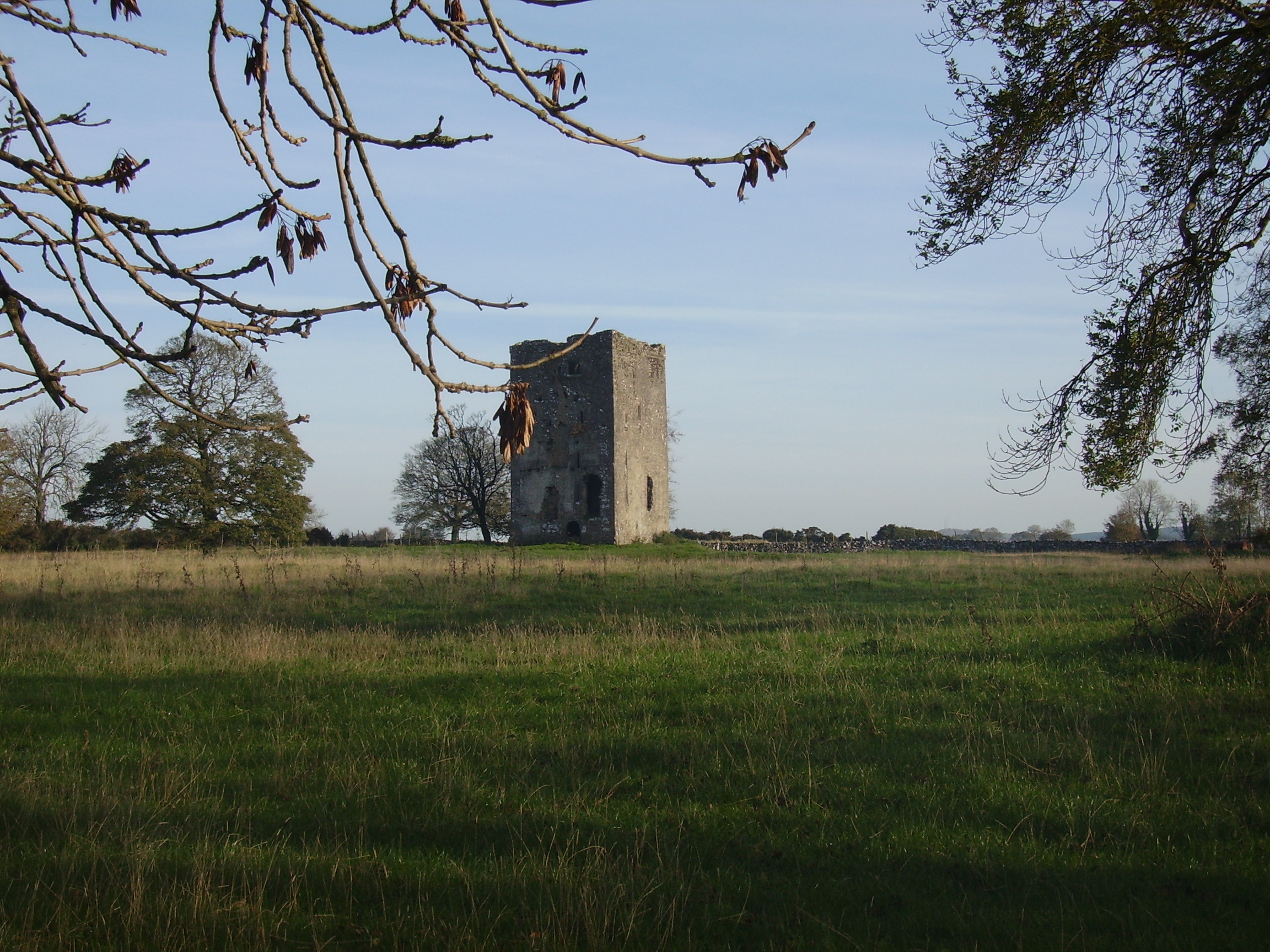
A house appears to be located near the castle on the first Ordnance Survey map of 1838. The Ordnance Survey Name Books mention the ruins of a castle, a mansion house and a chapel in the townland. The property belonged to the Burke family in the 18th century as Wilson noted it as the seat of Mr. Burke in 1786. It became the residence of Thomas P. O'Flahertie of the Lemonfield family in the early 19th century. He was married to a daughter of Ulick Burke of Derrymaclaughna. At the time of Griffith's Valuation it was occupied by Thomas Cullinane who held it from James Browne. Derrymaclaughna was the residence of Alan Parker Close in the 1870s. In November 1887, Richard Rowland was offering for sale a quarter share of the lands at Errew, county Mayo, as well as lands at Derrymacloughna, barony of Clare, county Galway, in the Land Judges' Court. However, due to absence of bidding, the sale was adjourned. |