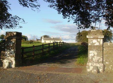
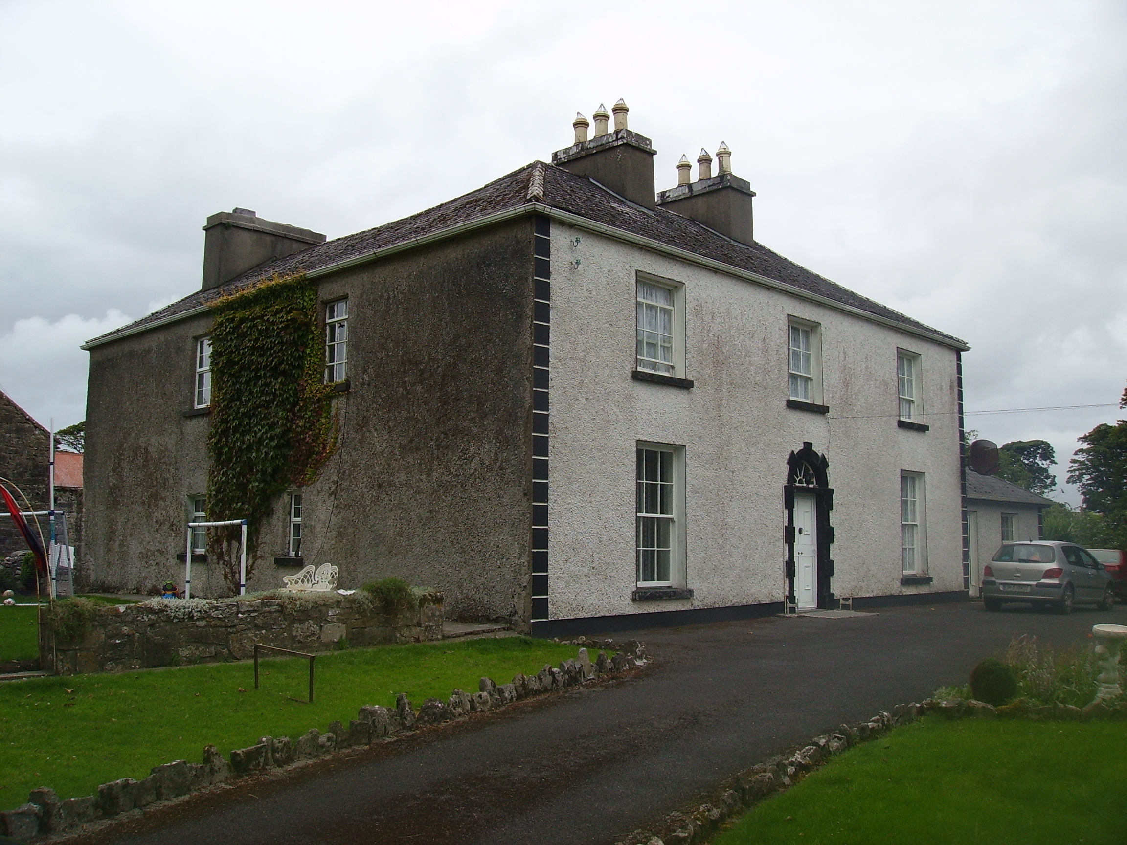
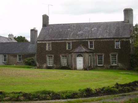
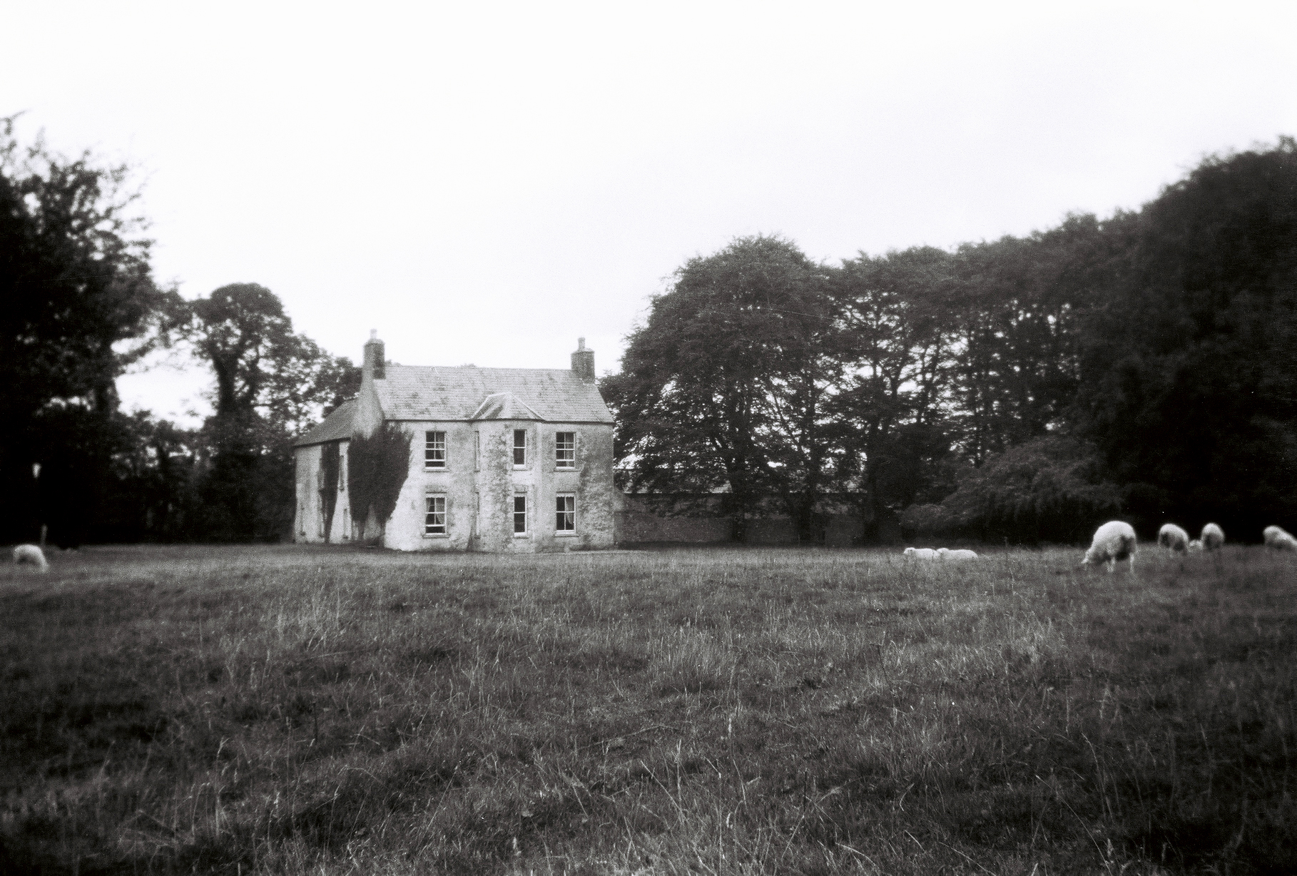
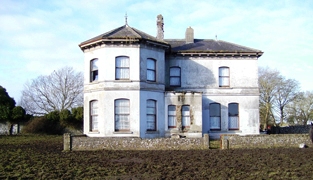
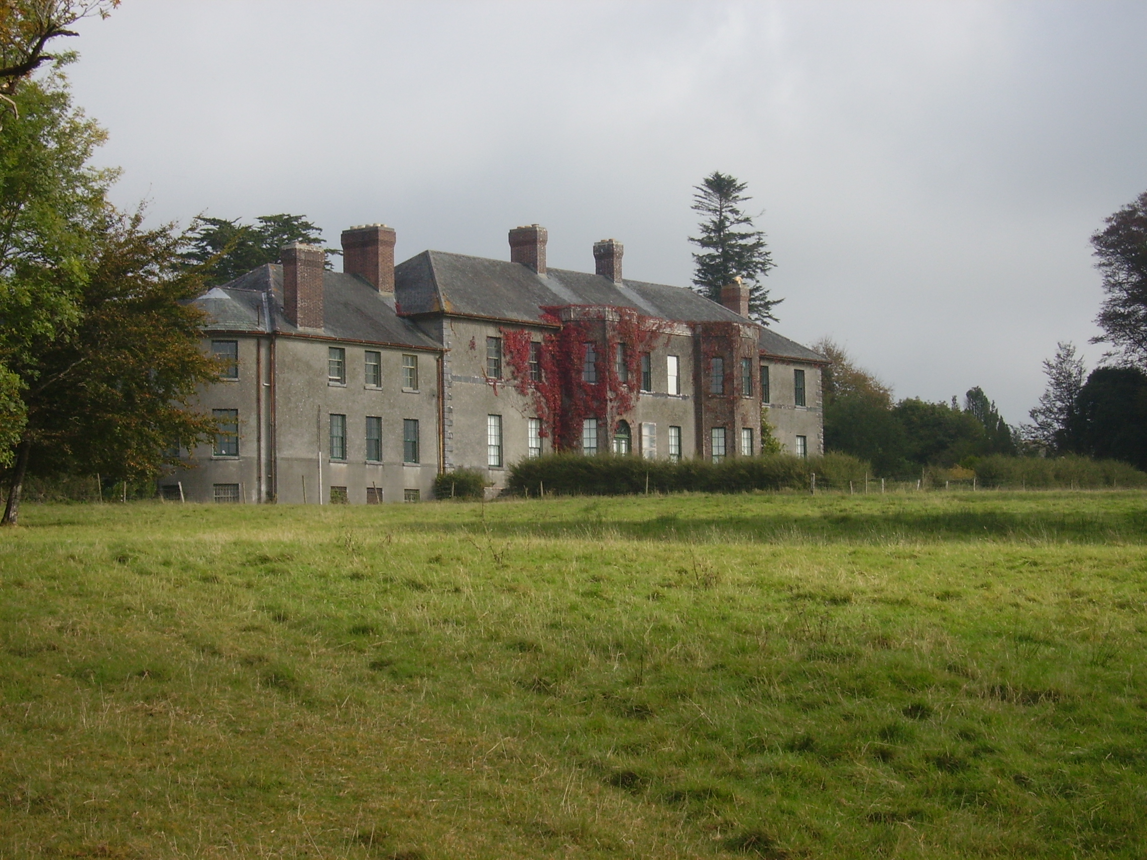
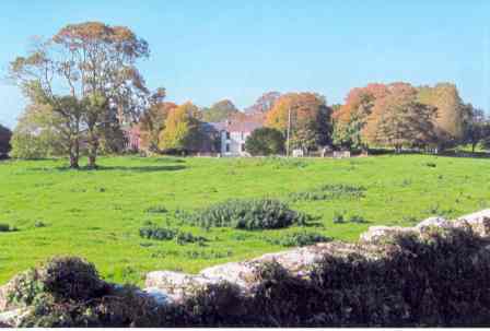
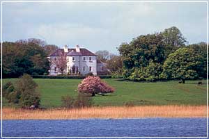
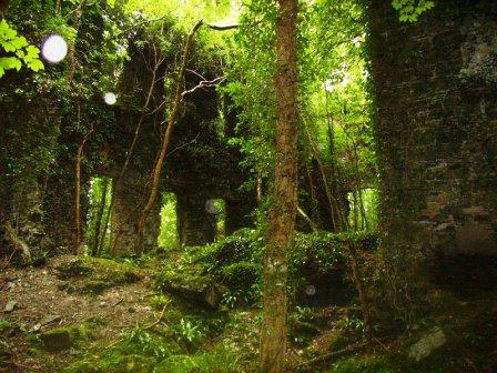
Dalgan
Houses within 10km of this house
Displaying 42 houses.
Houses within 10km of Dalgan
Displaying 42 houses.
| House name | Description | |
|---|---|---|
| Houndswood | In 1786 Wilson refers to Houndswood as the seat of John D'Arcy. It was held in fee by John S. Dawson at the time of Griffith's Valuation when it was valued at £10+. A thatched house, it was accidentally burnt in the early 20th century. |
|
| Rathgranagher | A house on the Lindsey estate, lived in by Charles Cromie in the late 1830s. It was occupied by John Jackson at the time of Griffith's Valuation, leasing from Thomas Lindsey, when it was valued at £14. A house is still extant there. |
|
| Greaghans | At the time of Griffith's Valuation this property was held by Robert Bowen and occupied by Dominick Browne. The National Inventory of Architectural Heritage notes that it was later occupied by Robert T. Crawford, agent to Lady de Clifford. It is still extant. |
|
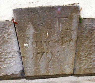
| Annefield | Built by Anthony Elwood in 1795, the property passed to the Blakes of Windfield, county Galway, in the mid 19th century. It was occupied by Charles Cromie in the 1830s and at the time of Griffith's Valuation by Emerson Dawson. It was sold to the Brannick family early in the 20th century and was bought by a Mr Fleishche in the 1980s, who restored the derelict house. The house was for sale in 2007. |
|
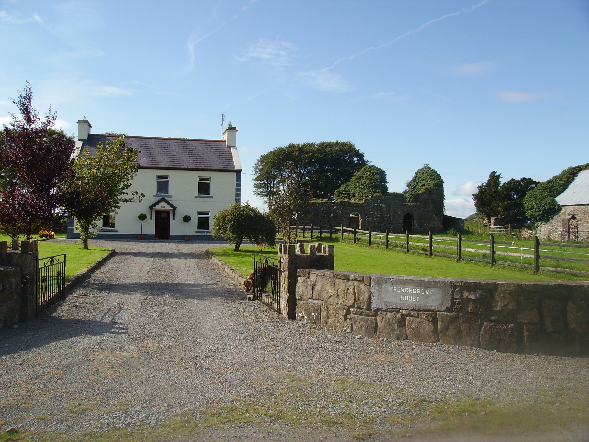
| Frenchgrove | A house marked as 'in ruins' on the 1915 edition of the 6 inch Ordnance Survey map. The Irish Tourist Association file describes Frenchgrove as the residence of the Blakes, later of the Frenches and finally of a man named Eager, a Dublin banker. No house of more than £3 valuation was recorded in Griffith's Valuation for the townland of Frenchgrove. A modern house now occupies the site with the remaining evidence of the old building. |
|
| Fountainhill | The home of a branch of the Jennings family for over a hundred years, now a ruin. The house was held in fee by Patrick Blake at the time of Griffith's Valuation, when it was valued at £10. |
|
| Carravilla | There are actually two houses known as Carravilla and both are marked on the Ordnance Survey map of 1838. The house located at M265 637 is named Carravilla House and is situated in a small demesne. The other, smaller, house is located at M262 641. Carravilla was occupied by Robert Fair in the 1830s. At the time of Griffith's Valuation William Ruttledge occupied Carravilla which he held from David Watson Ruttledge. Both houses are still extant. |
|
| Ballyheeragh St Leger | This house was held in fee by Dominick Kearns at the time of Griffith's Valuation, when it was valued at £10. Bought by the Tierney family in the early 20th century and still occupied by them. |
|
| Cloghansmore | Occupied by Martin P. Costello at the time of Griffith's Valuation, valued at £12. Still extant and occupied. | |
| Castlevilla | A Ruttledge family home in the 19th century, still extant and lived in. At the time of Griffith's Valuation it was leased by James Rutledge from Lady de Clifford's estate and valued at £18. |
|
| Fortville | Fortville was occupied by Robert Fair in 1814. At the time of Griffith's Valuation it was the residence of Anthony Kyne. Now the home of the Curran Flannery family, the Curran family having lived there since the 1910s. |
|
| Cloghans House | Lane esq was residing at Cloghan Castle in the 1770s. In 1786, however, Wilson refers to Cloghan Castle as the residence of Mr. Lewin. Ruane describes the house as early 18th century with 19th century alterations. It was held in fee by Henry H. Lewin at the time of Griffith's Valuation, when it was valued at £10. it was occupied by General Arthur Lewin in the early 20th century. He was an aviation enthuaist and went to live in Nairobi, Kenya, in the 1930s. Cloghans was sold to the McCartans in the 1940s and is now the home of the Kelly family. |
|
| Turin | Turin Castle has recently been renovated. The house no longer exists but some of the farm buildings are still visible. In the 1770s Kirwan esq occupied Turin Castle and in 1814 Arthur Browne was recorded as resident there. At the time of the first Ordnance Survey Samuel Lindsey Bucknall was living in Turin House and it was occupied by the Rutherfords in the 1850s. |
|
| Milford | Early 18th century house with some 20th century alterations. |
|
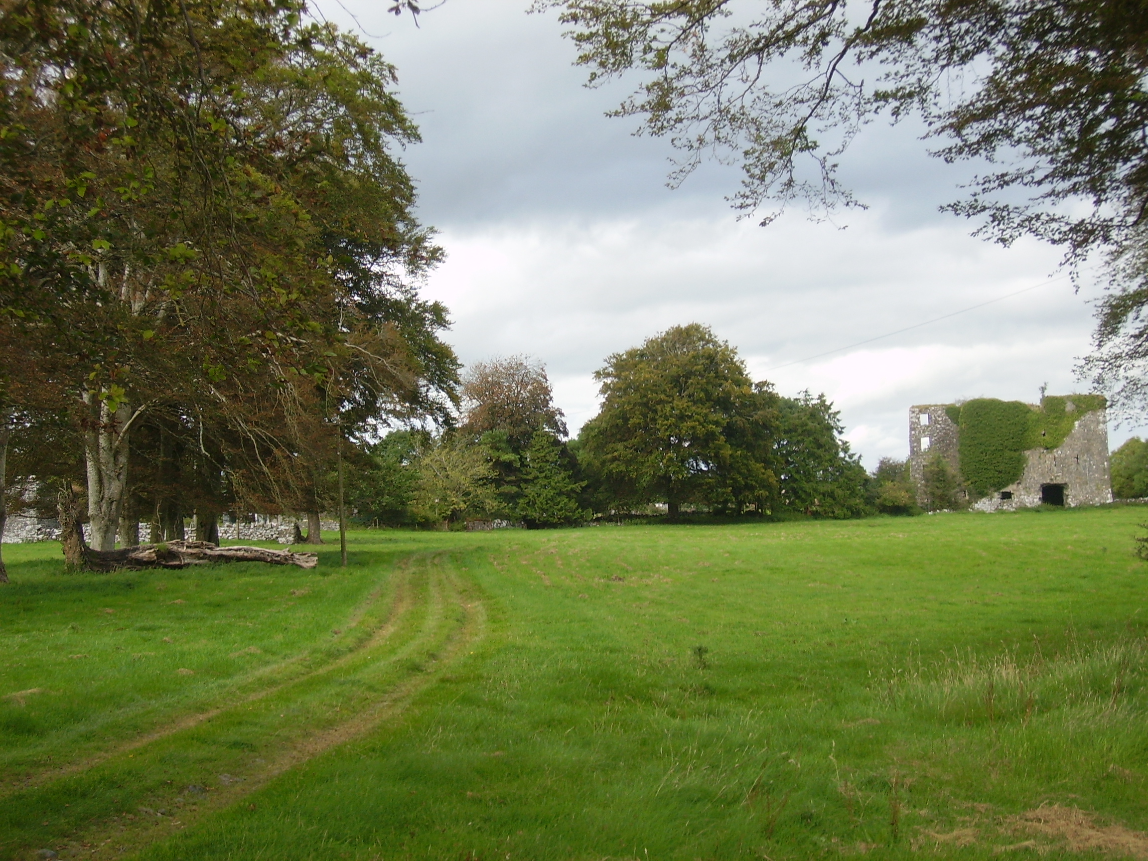
| Moyne Lodge | Moyne Lodge was occupied by the Golding family in the early part of the 19th century and by Martin Kirwan Blake before the sale in 1852. The house is no longer extant but some stone walls are still evident with the old castle to the right. |
|
| Glencorrib | Home of Robert Dillon Browne and later of the O' Higgins family, the house is now demolished. At the time of Griffith's Valuation, it was held in fee by George O'Higgins, MP, and valued at £12. | |
| Lakefield | In 1786 Wilson refers to the seat of Nicholas Reddington, situated near the lake. He may be referring to this house whch he says was "daily improving in beauty and commands a very extensive prospect". Home of James Fox in the 1830s. Occupied by John Commins at the time of Griffith's Valuation, leasing from the de Clifford estate. The house was valued at £8 at that time. It is still extant. | |
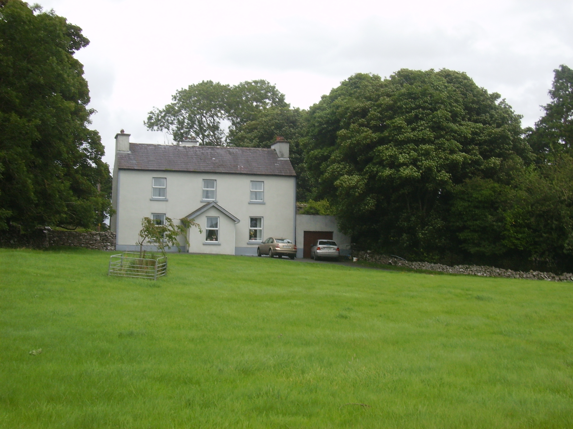
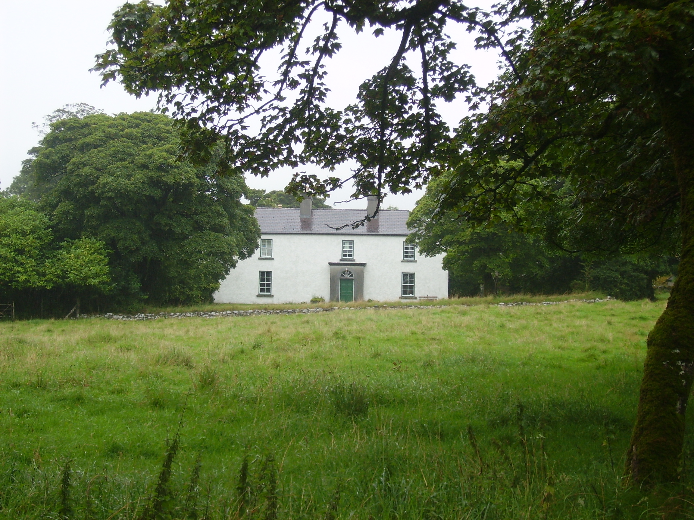
| River View [Donaghpatrick] | This house was occupied by James Kearns in the 1850s, leasing from the Duke of Bedford's estate, when the house was valued at £8. It is still extant and occupied. |
![Photo of River View [Donaghpatrick]](https://landedestates.ie/storage/img/orig/184.jpg)
|
| Ross Lodge | Occupied by Anthony Blake in the second decade of the 19th century and by Walter John Blake in the 1830s. It was leased by Walter Blake from Anthony Blake at the time of Griffith's Valuation, when it was valued at almost £9. Named as Ross Lodge on the first edition Ordnance Survey Map the house seems to gone by the time of the 25-inch map in the 1890s. This may be the property referred to by Wilson in 1786 as "The Lodge, beautiful seat"of a Mr. Shaw. | |
| Ower | In 1786, Wilson refers to "Aur" as the seat of Mr. Burke. The Ordnance Survey Name Books record John Burke as the owner in the 1830s. At the time of Griffith's Valuation, Joseph Burke held this property in fee when it was valued at £13. It was leased to Colonel Beddington in the 1920s and is now a ruin. |
|
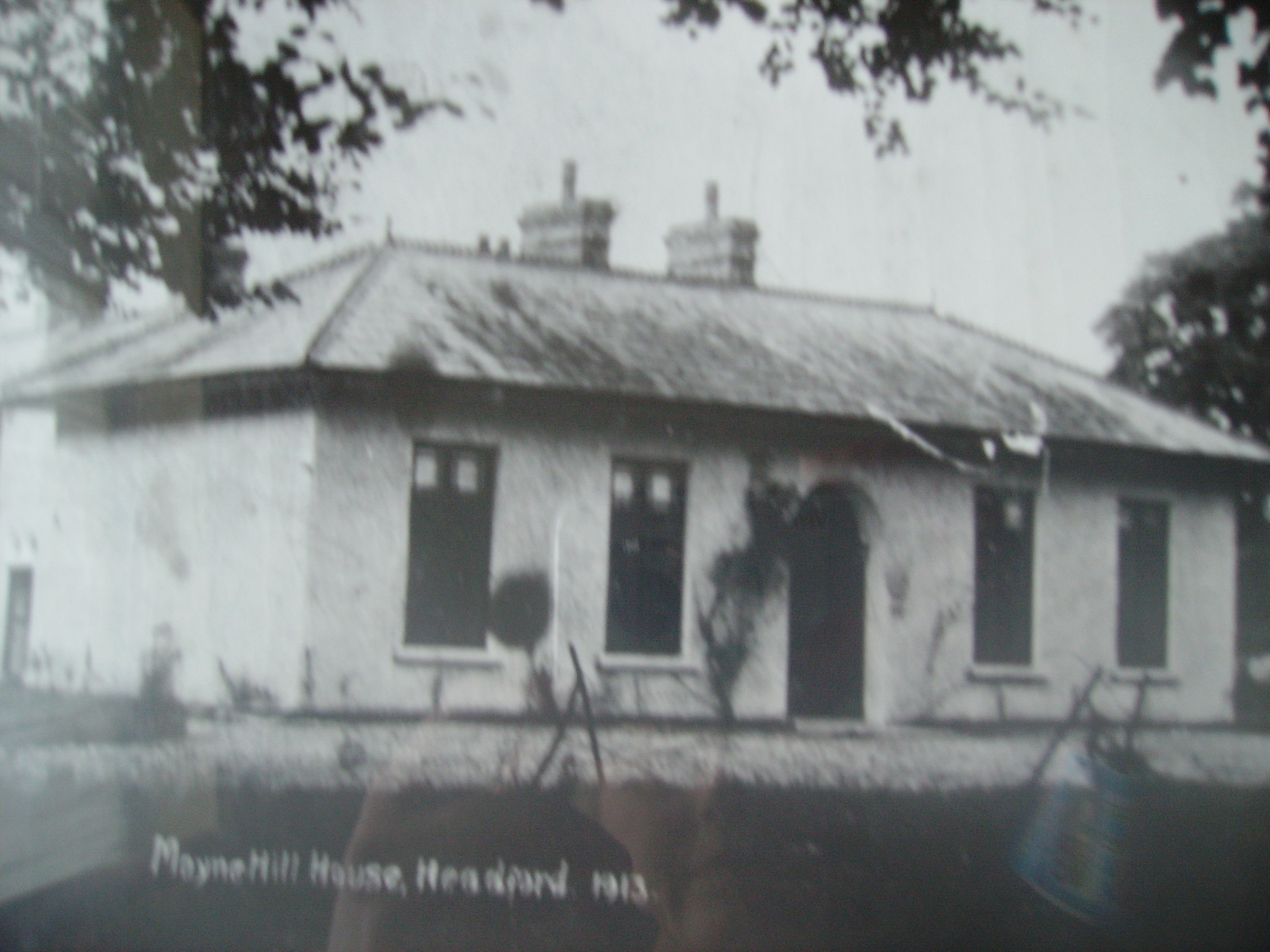
| Moyne Hill | Hughes writes that a Captain Carter bought Moyne Hill in 1852 from Charles Blake of Merlin Park. By 1906 James McDonnell was occupying the house. Soon afterwards it became the home of Thomas McDonagh of Headford Castle and his descendants still live there. The original house was knocked down circa 1950 and replaced by a modern bungalow. The original entrance gates and farm buildings are extant. |
|
| Thomastown | At the time of Griffith's Valuation, Thomastown House, barony of Clare, was occupied by James Clarke and valued at over £10. The National Inventory of Architectural Heritage indicates that this is a two-phase house, the original part dating from the early eighteenth century. It is still extant and occupied. |
|
| Sylaun | Descriptions indicate that Sylaun House, which was valued at £7 at the time of Griffith's Valuation, was a single storey, thatched structure. No trace now remains of the house though other estate architecture is visible. | |
| Mossfort | A house labelled Caherakeeny is shown here on the First ediiton Ordnance Survey map. It was valued at £12 and occupied by John Kilkelly at the time of Griffith's Valuation. The present house was constructed in the late nineteenth century and is labelled Mossfort on the 25-inch Ordnance Survey map of the 1890s. |
|
| Castlehacket | Castlehacket takes its name from the Hackett family who owned the land in the 14th century. An early 18th century house was built by the Kirwan family and lived in by their descendants until 1985. Wilson mentions it as the seat of John Kirwan in 1786. It was held in fee by Denis Kirwan at the time of Griffith's Valuation when it was valued at £40. Referred to as the seat of Bernard Percy Broderick by Slater in 1894. The original house of 3 storeys was burnt in 1923 and rebuilt at the end of the 1920s as a 2 storey house. The house has had a number of owners in the past 20 years. |
|
| Dennistown House | Built post 1838, occupied by Hugh Craven at the time of Griffith's Valuation and a centre for the Agricultural Institute in the late 20th century. | |
| Dalysfort | At the time of Griffith's Valuation the townland of Cahernaheeny belonged to James Maitland Kirwan, a member of the Kirwan of Dalgan family. It was leased by John Fitzgerald who was occupying Dalysfort House, then valued at £5. A house still occupies the site. | |
| Carrowbeg House | A former Bodkin house, the home of the Lynch family in the second half of the 19th century and early part of the 20th century. It was held in fee by Dominick Lynch at the time of Griffith's Valuation when it was valued at £8. It is still extant and in use. |
|
| Lisdonagh | An O'Flaherty home, built in the late 18th century, sold to the O'Mahonys in the late 19th century and passed by marriage to the Palmers. Now functions as a guest house run by John and Finola Cook. http://www.irelands-blue-book.ie/lisdonagh.htm |
|
| Mirehill | Home of Thomas Redington in 1814, Stepney St George in the 1820s and occupied by Michael Kelly in the 1850s, when it was valued at £4 and by Stephen R. Roche in 1906. It is no longer extant. | |
| Newgarden | The home of Edward Burton, Rector of Annaghdown and Vicar General of Tuam in the latter part of the 18th century. Occupied by Mrs Smith in 1814, in the 1830s by Roderick O'Connor and in the 1850s by Richard Jennings. In the Ordnance Survey Name Books it is decribed as a pretty lodge, the residence of the proprietor Lieutenant Daniel Smith. A modern house and some old farm buildings are still visible at the site. |
|
| Headford Castle | Richard J. Mansergh St George built Headford Castle in the early 19th century. In 1836 Robert Graham referred to an Elizabethan house 'just built', the architect was George Papworth. At the time of Griffith's Valuation it was held in fee by Richard M. St. George and valued at almost £46. Slater noted it as the seat of Thomas McDonagh in 1894. It burnt down in 1906. |
|
| Shrulegrove | The ruin of the castle at Shrulegrove remains as a prominent feature in the village of Shrule. On the Ordnance Survey map of 1838 a substantial house and gardens are marked in the townland of Shrulegrove. All the townland, including a herd's house and offices valued at £1, were held by Richard Golding from the Duke of Bedford at the time of Griffith's Valuation. |
|
| Castlegrove | Originally a Blake house, it was occupied by the Lewins from 1888. Wilson refers to Castle-Grove as the seat of Mr. Blake in 1786. It would seem that this house was replaced in the nineteenth century as, although listed in Leets directory of 1814, the sale rental of 1852 records Castlegrove as a mansion house erected 'within the last twelve years'. It included a ballroom, oak staircase and numerous bedrooms. It was bought by John William Cannon. The sale rental includes a lithograph of the house. Castlegrove was burnt in 1922 and is now a ruin. |
|
| Newborough | Occupied by Lynch esq in the 1770s, this house passed to the Crean family by marriage. Newborough became a Blake house in the early 19th century. At the time of Griffith's Valuation there were two houses valued at £3 in the townland of Bunagarraun, occupied by Patrick Higgins and Margaret Higgins, who held from Patrick Crean Lynch. The original house is not extant. |
|
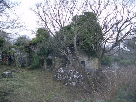
| Ironpool | A Jenings home, described as a "good thatched 2 -storey dwelling house" in 1852, occupied by George Jenings. It was held in fee by William Ogilvie at the time of Griffith's Valuation when it was valued at £6. It is now a ruin. |

|
| Blindwell | In 1786 Wilson refers to Blindwell as the seat of Mr. Kirwan. It was held in fee by Martin S. Kirwan at the time of Griffith's Valuation, when it was valued at almost £18. A fireplace still marks the site of the house which was demolished in the early 20th century. After 1900 this property was owned by the Websters, Nolans and now by the Fair family. Part of Blindwell also belonged to the Agricultural Institute. |
|
| Rockwell | The main residence of the Lynch family throughout the 19th century, valued at £13 in the mid 1850s. |
|
| Cloonteen | At the time of Griffith's Valuation occupied by George Jennings when the house was valued at £7. Some ruins remain at the site. | |
| Cloonmore | At the time of Griffith's Valuation the house was valued at £3 and was held in fee by Charles Grant.It is labelled Cloonmore on both the 1st and 25-inch edition Ordnance Survey maps but is no longer extant. | |
| Ellistron Castle | A Browne castle, a house is marked close by as the residence of the Brownes in the 1770s. In 1786 Wilson refers to Ellistron as the seat of Mr. Browne. However there is no house at this location on the 1838 Ordnance Survey map but an avenue is shown there. | |
| Lodge (Headford) | In 1786 Wilson refers to Lodge as the seat of Mr. Shaw. A well laid out demesne, on which there is a small building, is depicted on the 1st edition Ordnance Survey map. The townland was in the possession of the St. George estate at the time of Griffith's Valuation but the only house was valued at 15s. |