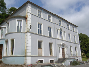
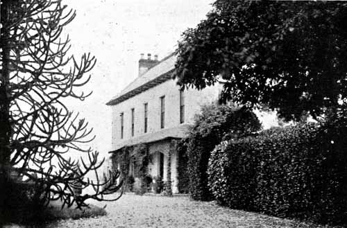
Sunville
Houses within 5km of this house
Displaying 43 houses.
Houses within 5km of Sunville
Displaying 43 houses.
| House name | Description | |
|---|---|---|
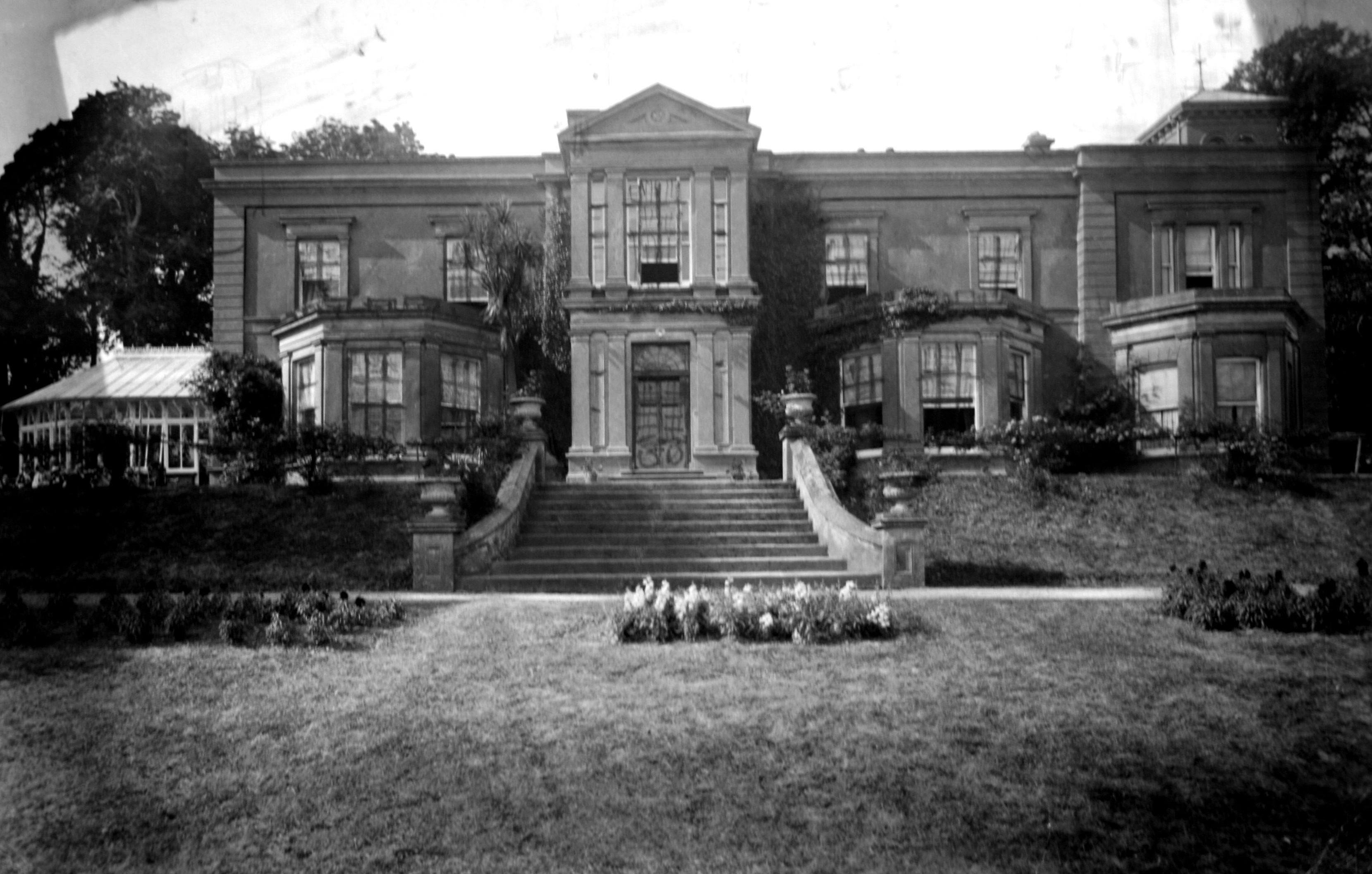
| Fota House | Originally built as a hunting lodge for the Smith Barrys in the 18th century and enlarged in the 1820s to the design of Sir Richard Morrison with further 19th century additions. Valued at £89 and held by James H.S. Barry in fee at the time of Griffith's Valuation. Occupied by Lord Barrymore in 1906 and valued at £160. Inherited by Major and the Honourable Mrs Bell. The Irish Tourist Association survey provides details of some of the paintings in the house and exotic plants in the gardens. Bence Jones writes that Fota was sold to University College, Cork in 1975 following the death of Mrs Bell. It is now in the care of the Irish Heritage Trust and after restoration was reopened to the public in 2009. http://www.fotahouse.com/display.php |

|
| Windsor House | Dominick Sarsfield was living at Windsor, Cork, in 1814 and by 1837 it was the property of J. Martin. Joseph Martin held this house valued at £13.10 shillings from the Earl of Bandon in the early 1850s. Windsor House is still extant and occupied. |

|
| Killahora House | J. Martin is recorded as resident at Killahora in 1837. At the time of Griffith's Valuation John Martin held a house valued at £25 from the Earl of Bandon. A house is still extant at this site. | |
| Union Lodge | This house was the residence of the Reverend William Gifford in 1837. At the time of Griffith's Valuation Hughes Martin was the occupier. He held the property from William Coppinger and the buildings were valued at £21. | |
| Tullagreen | Occupied by Robert Martin in 1814 and by Hughes Martin in 1837. The house was recorded as unoccupied at the time of Griffith's Valuation. Hughes Martin was the immediate lessor and the house was valued at £19+. |

|
| Garrancloyne House | This was the original home of the Coppingers of Middleton. A substantial house with a gate lodge is marked on the first Ordnance Survey map but by the time of Griffith's Valuation the house with the largest valuation in this townland was £2. It was occupied by Hughes Martin and held from William Coppinger.In 1786 Wilson refers to "Killycloyne" as a seat of the Martin family in this area. | |
| Killora Lodge | This house was the residence of Reverend R. Berry [Bury] in 1837 and was unoccupied at the time of Griffith's Valuation. Reverend Robert Bury was the immediate lessor and the buildings were valued at £20. It is still extant and occupied. |

|
| Toureen Lodge/Ashbourne | At the time of Griffith's Valuation the Reverend Robert Bury was occupying a house in this townland valued at £17 and held from the Earl of Bandon. It is labelled Toureen Lodge on the 1st edition Ordnance Survey map and as Ashbourne on the 25-inch edition of the 1890s. In the twentieth century it became famous for its well-known gardens, laid out by Richard H. Beamish. |

|
| Johnstown House | Johnstown was the home of Sarsfield Esq in the 1770s and 1780s. William Martin is recorded as resident at Johnstown in 1814 and Mrs Palmer in 1837. John Courtney occupied the house valued at £21+ in the early 1850s. He held it from the Earl of Bandon. The original house is not extant. | |
| Anngrove | Bence Jones writes that this was originally a Cotter residence, sold to the Earls of Barrymore before the mid 18th century. Dobson Esq was resident in the 1770s and 1780s. By 1814 Francis Wise was resident and was still resident at the time of Griffith's Valuation, when the house was valued at £30 and held from Sir William Clarke. The house was later inherited by the Gubbins family. Demolished post 1950. | |
| Rockville | The Barrys were inhabiting Rockville by the mid 18th century. William Barry was resident in 1814 and his seventh son Thomas Barry in 1837. In the early 1850s Garret Barry was occupying this house which he held from Sir William Clarke. It was valued at £15.15 shillings. | |
| Greenville | Garret Barry, eight son of William Barry of Rockville, occupied this house in the mid 19th century. He held it in fee and it was valued at £17+. He was a racehorse owner and died unmarried. Greenville passed to his nephew Dr William Barry of Rockville and Greenville. Lucy K. Barry was resident in 1906 when the buildings were valued at £34. | |
| Barry's Lodge | Occupied by D. Barry in 1837 and by Henry Barry in the early 1850s. He held the property valued at £28 from Samuel Reeves. | |
| Cloneen | Leet records - Hoare esq as resident at Cloneen, Middleton, in 1814. In the mid 19th century Robert Lunham held a house valued at £20+ from Bingham Sarsfield in this townland. Sarsfield held the property from Abraham Devonsher. When Cloneen was advertised for sale in 1870 it was occupied by Joseph Sheedy. Bingham Sarsfield of Cork owned 266 acres in county Cork in the 1870s. A house is still extant at the site. | |
| Springhill | This house was a Wakeham home from at least the mid 1770s. William Wakeman was resident at Springhill in 1814 and W.J. Wakeham in 1837. Joseph B. Wakeham held Springhill in fee at the time of Griffith's Valuation when the buildings were valued at £15+. | |
| Brooklodge House | A house and paper mill valued at £30 held by Mary Eliza Phair from the Reverend Robert Bury at the time of Griffith's Valuation. This Phair family were involved in paper mills in a number of townlands in this locality. | |
| Brookville | Home of Cornelius O'Callaghan who held it from the Reverend Robert Bury in the mid 19th century. The buildings were valued at £35. |

|
| Blossomgrove | Blossomgrove was the residence of William Casey in the early 1850s. He held the house valued at £22 and 335 acres from Simon Dring. A house is still extant at the site. | |
| Butlerstown | Nathaniel C. Martin held a house, offices, foreman's house and spade factory valued at £25 from Francis Beamish. The property is labelled Butlerstown House on the 25-inch Ordnance Survey map of the 1890s when the spade factory is no longer visible. There is still an extant house at the site. | |
| Corbally | ''Burke's Irish Family Records'' describes the Sheehys of Corbally House from about the late 18th century. In the mid 19th century the house was occupied by William J. Sheehy, second son of Bryan Sheehy of Corbally House, died 1806. The buildings were valued at £27 and the property was held from the Reverend Edward Newenham. This house was named 'Mill View' on the first Ordnance Survey map. Mill View was still occupied by Sheehys when it was advertised for sale in 1871. | |
| Maryborough | The sale rental for the Mannix estate states that this house was built in 1816 at a cost of £3,000. Occupied by J. Wallis in 1837 and by Henry Mannix in the early 1850s. Mannix held the property from the representatives of the Reverend Robert Dring and the buildings were valued at £28. |

|
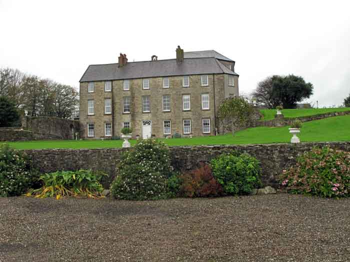
| Rockgrove | The seat of the Dring family in the 18th and 19th centuries, valued at £50 in the early 1850s. Bence Jones writes that it was sold by the Drings in the early 20th century, valued at £80 in 1906, and was restored in the 1970s. The house is now used as offices. |
|
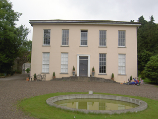
| Riverstown | An early 18th century house with fine plasterwork by the Francini brothers, the seat of the Browne family for two and a half centuries. The Brownes were still occupying the house in 1837 but John Carmichael is recorded as the occupier in the early 1850s when it was valued at £32.10 shillings. Restored in the 1960s by the Dooleys with help from the Irish Georgian Society. |
|
| Glyntown House | Unoccupied in the early 1850s, this house was held by Eliza McCaul from William B. Hoare. It was valued at £35. Bence Jones writes that this house, now demolished, was built by Samuel McCall and was owned in the 20th century by the Dring family. | |
| Ballinglanna | Occupied by J. Newsom in 1814 and E. Newsom in 1837. Edward Newsom held this house from Eliza McCaul and Louis Denay at the time of Griffith's Valuation when it was valued at £24. This house is named Glenville on the first Ordnance Survey map. |

|
| Kilcoolishal | Thomas Martin occupied a house valued at £18+ in this townland at the time of Griffith's Valuation. He held it from W. B. Hoare. | |
| Factory Hill | The seat of a branch of the Hoare family in the 18th and 19th centuries. Occupied by E. Hoare in 1814 but by 1837 leased to William Letchfield or Lichfield. He occupied the house in the early 1850s when it was valued at £25. Richard Martin of Factory Hill owned 506 acres in county Cork in the 1870s. A larger property, known as Dunsland House, occupies the site of Factory Hill on the 25-inch Ordnance Survey map of the 1890s. This latter property was later the residence of Joseph Pike and was burnt in August 1920 during the War of Independence. |

|
| Richmond | The home of the Mannix family in the late 18th and 19th centuries. Occupied by S. Oliver in 1814 and by R. Mannis [Mannix] in 1837. [Henry Mannix was resident in the early 1850s when the house was valued at £27 and held from Jonas Morris.] A house is still extant at the site. | |
| Woodville | Woodville was originally a home of the Cummins family. In 1800 Charlotte Cummins married Thomas Mannix. Occupied by N.W. Cummins in 1837 [and by Richard B. Isaack in the early 1850s when it was valued at £23]. Buildings are still extant at the site though extensive modern development has taken place in the area. | |
| Dunkettle | Seat of the Morris family from the late 18th century, occupied by Abraham Morris in 1814 and 1837. Wilson, writing in 1786, provides a detailed description of the demesne. At the time of Griffith's Valuation Jonas Morris held the property from George Newenham. The buildings were valued at £60. Bence Jones writes that this house was built on or close to the site of a previous house belonging to the Trant family. The house was sold in the late 19th century to the Gubbins family. |

|
| Glenburn | Glenburn was occupied by A. Lewis in 1837 and was held in fee by John T.C. Gibbings at the time of Griffith's Valuation. The buildings were valued at £20.15 shilllings. |

|
| Annmount | In the 1770s Falkiner Bart was resident and in 1786 Wilson refers to Annemount as the seat of Sir Riggs Falkiner. Occupied by the Reverend Mr Coghlan in 1814 and in 1837. By the time of Griffith's Valuation Nicholas M. Cummins held this house from the Reverend Coghlan. This house was burned down and all that now remains are the steps. |
|
| Ashton Grove | This house is marked Ashton Grove on the first Ordnance Surve map. John Cotter was the proprietor of Ashton, Cork, in 1814 and T. Cleary of Ballingohig in 1837. Thomas J. Cleary held the property from Henry Braddell at the time of Griffith's Valuation when the buildings were valued at £22. Cleary held a cornmill from Braddell in the townland of Kilrussane. James Fitzgerald held 122 acres of untenanted land and buildings valued at £26+ in 1906. |
|
| Rock Farm | The home of John Cantillon in 1837 and in the early 1850s when it was valued at £16 and held from Warren Hastings Rowland Jackson. | |
| Carrigrenan | Occupied by J. M. Ashlin (father of the architect George Ashlin) in 1837 and by the Reverend Robert Bury in the early 1850s. He held the house valued at £37 from Warren H. R. Jackson. The home of the Sullivans in the 20th century. | |
| Castleview | A Jackson property which was unoccupied in 1837. By the time of Griffith's Valuation Robert Delacour Beamish was resident in the house valued at £34 which he held from the Jacksons. The house was sometimes known as Ditchley House. Now functions as the Radisson Hotel, Little Island. |

|
| Little Island House | A Bury residence, occupied by Richard Bury in 1814, by Phineas Bury in 1837 and by his widow Eliza at the time of Griffith's Valuation. The house was valued at £51 and held from the Earl of Limerick. Bence Jones wrote n 1978 that the house was a ruin and the site is now occupied by industrial buildings. | |
| Flaxfort | Occupied by R. Martin in 1837 and by Mary Anne Martin at the time of Griffith's Valuatioan. The house was valued at £21 and held from John Purcell. It is no longer extant. |
|
| Inchera | This house, also known as Sun Lodge, was the home of the Oliver family. Occupied by S. Oliver in 1814 and Silver Charles Oliver in 1837 and in the 1850s. The buildings were valued at £54 and the property was held from the Reverend Rowland Davis Gray. Owned by C.E. Murphy in the first half of the 20th century. Post 1950 it was destroyed by a fire. | |
| Hermitage | A house valued at £18, occupied by Eliza Martin and held from Robert Webb at the time of Griffith's Valuation. In the 20th century the home of Edmund Glen Browne. |

|
| Ballynaroon | Griffith's Valuation records a house valued at £13.15 shillings in this townland in the mid 19th century. It was occupied by Charles W. Welland and held from the representatives of Viscount Midleton. The house is named The Highlands on the 25 inch to the mile map. Only yard buildings now remain at this site. | |
| Corbally South | Catherine Delany held buildings valued at £11 from William J. Sheehy in Corbally South at the time of Griffith's Valuation, with 148 acres. Buildings are still located at this site. | |
| Ballinderrig | Ballinderrig is marked on the first edition Ordnance Survey map and was occupied in the mid 19th century by Jane Cantillon. She held the property valued at £13+ from Eliza Bury. Catherine Cantillon was also resident in the townland at Courtstown Cottage Grid Ref W774 720. By the publication of the 25-inch Ordnance Survey map in the 1890s the latter property has become known as Courtstown House. It is still extant. |