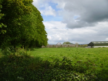
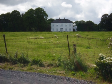
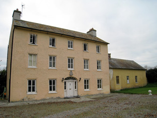
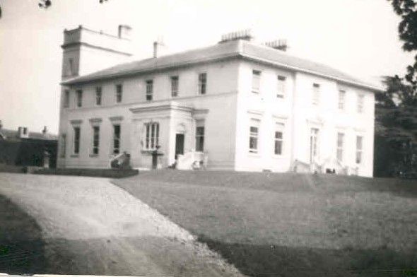
Belview/Bellevue
Houses within 5km of this house
Displaying 14 houses.
Houses within 5km of Belview/Bellevue
Displaying 14 houses.
| House name | Description | |
|---|---|---|
| Drombeg | A house located on the estate of the Earl of Sandwich at the time of Griffith's Valuation and occupied by John Mulcahy, when it was valued at £11. [Grid reference is approximate]. | |
| Liskennet | Nicholas Monckton of Liskennet made his will in 1721. Patrick Heffernan lived at Liskennet in 1814 and Roger Sheehy circa 1840. In the 1850s the house was ccupied by Francis S. Walker, valued at £15+ and held from John Anster, Trinity College Dublin and Ellen Heffernan. The sale rental of the Walker/Anster estate in 1873 refers to Lots 1 and 2 as formerly part of the estate of Michael Heffernan of Camas. By the 1870s Liskennet was in the possession of the Conyers family. The old stable block is still extant but the house is a modern structure. |
|
| Kilmore | Brian de Breffny writes that the back section of Kilmore House is part of the 17th century house built by the Moncktons. The front part was built by the Tuthills in the mid 18th century. George Tuthill purchased the house from Edward Monckton in 1737. The Tuthills had previously held it on lease. Occupied by Thomas Lynch in 1814 and by Colonel William Jones in the early 1850s, when the property was held from Elizabeth Tuthill and valued at £15. In 1906 Kilmore was the residence of Anne Isabel O'Grady. This house is still extant and occupied. |
|
| Coolrus House | The residence of Richard Harte circa 1840 and of James Lynch in the early 1850s who held the property and 186 acres from the Court of Chancery. The house has diminished in size by the publication of the 25-inch edition Ordnance Survey map in the 1890s and it is no longer extant. | |
| Castle Ievers | The Ievers were living at Castle Ievers, originally known as Tullerboy, from the mid 18th century. Bence Jones dates this house from the early 19th century. Robert Ivers was resident in 1814, 1837 and at the time of Griffith's Valuation when the buildings were valued at £32. The property was held from William Maunsell. The Irish Tourist Association surveyor wrote in 1943 that much of Tullerboy Castle was demolished in the 1860s to make way for the present building. The owner in the 1940s was Roderic Haines. |

|
| Coolboy | A herd's house and offices situated on the St Leger estate was occupied by Henry Ievers at the time of Griffith's Valuation when the buildings were valued at £14+. Coolboy was occupied by the representatives of Robert Cleary in 1906. A substantial farm is still extant at the site. | |
| Cooleen | At the time of Griffith's Valuation William Hart Mason held the townland of Cooleen amounting to 88 acres in fee. The buildings were valued at £12. |
|
| Cherrygrove | Cherrygrove was the home of Edward Cripps in 1814 and of J. Barry in 1837. At the time of Griffith's Valuation it was occupied by Edward John Sheehy who held the property from Robert Harding. The buildings were valued at £21+. The Misses Sheedy were still in residence in the 1940s. A building is still extant at the site. | |
| Clorane | A house occupied by Henry Hunt in 1814. Lewis describes Clorane as a "fine old house belonging to the Hunt family". By the time of Griffith's Valuation Edward Browning was leasing the house and 280 acres from Sir David Roche. In the 1870s in the possession of Patrick Hartigan. Old farm buildings are still located at the site but the house is a modern structure. |

|
| Islandmore | Tooreen, located just south of the town of Croom, was the residence of James D. Lyons in 1814 and 1837. By the early 1850s this house, then known as Islandmore, was occupied by Robert Maxwell, valued at £60 and held from Miss Catherine Giles. It later became the home of the Kelly family and Slater refers to it as the seat of John Roche-Kelly in 1894. Colonel Basil Roche Kelly was resident at the time of the Irish Tourist Association survey of 1943. The surveyor wrote that the house was originally Georgian but had suffered many alterations. |
|
| Glenbevan | Lewis records J. Bevan as the proprietor of Glen-Bevan in 1837 and Joseph Bevan occupied the house and 173 acres at the time of Griffith's Valuation. The property was located on the Evans estate. The residence of Mr John Hedderman in 1943, this house is still extant and occupied. |

|
| Dollas Upper | Mary Blake occupied a house valued at £12+ and 48 acres on the Langford estate at the time of Griffith's Valuation. This property is labelled Dollas House on the Ordnance Survey map published in 1942. Unroofed buildings are still extant at the site. | |
| Harding Grove | Occupied by G. Harding in 1814 and H. Harding in 1837. The seat of Mr Harding at the time of the first Ordnance Survey. By the time of Griffith's Valuation a Neill McDonald was in possession of Harding Grove. Neil Macdonald of Steyle Park, Bruree owned 354 acres in county Limerick in the 1870s. Francis H. Wyse is recorded as the occupant of Harding Grove in 1906. |

|
| Athlacca House | A residence of the Ormsby family in the 18th century. On the first Ordnance Survey map the house is marked "in ruins". Also known as Old Court. |