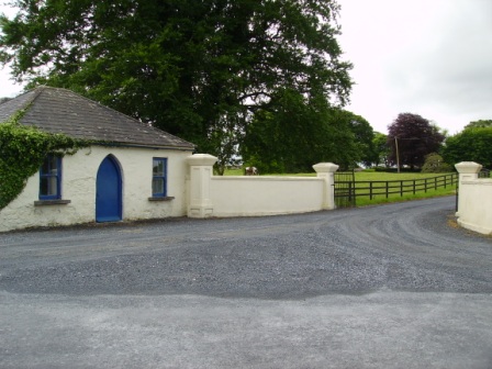
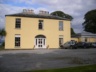
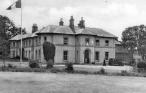
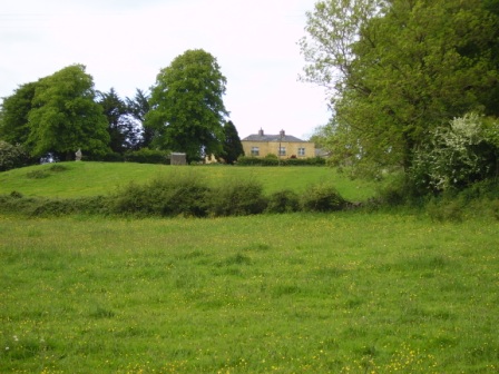
Summerville
Houses within 5km of this house
Displaying 18 houses.
Houses within 5km of Summerville
Displaying 18 houses.
| House name | Description | |
|---|---|---|
| Rockfield | The residence of Edward Fitzgerald in the first half of the 19th century, held by him from Captain Richard Gloster at the time of Griffith's Valuation and valued at over £11. | |
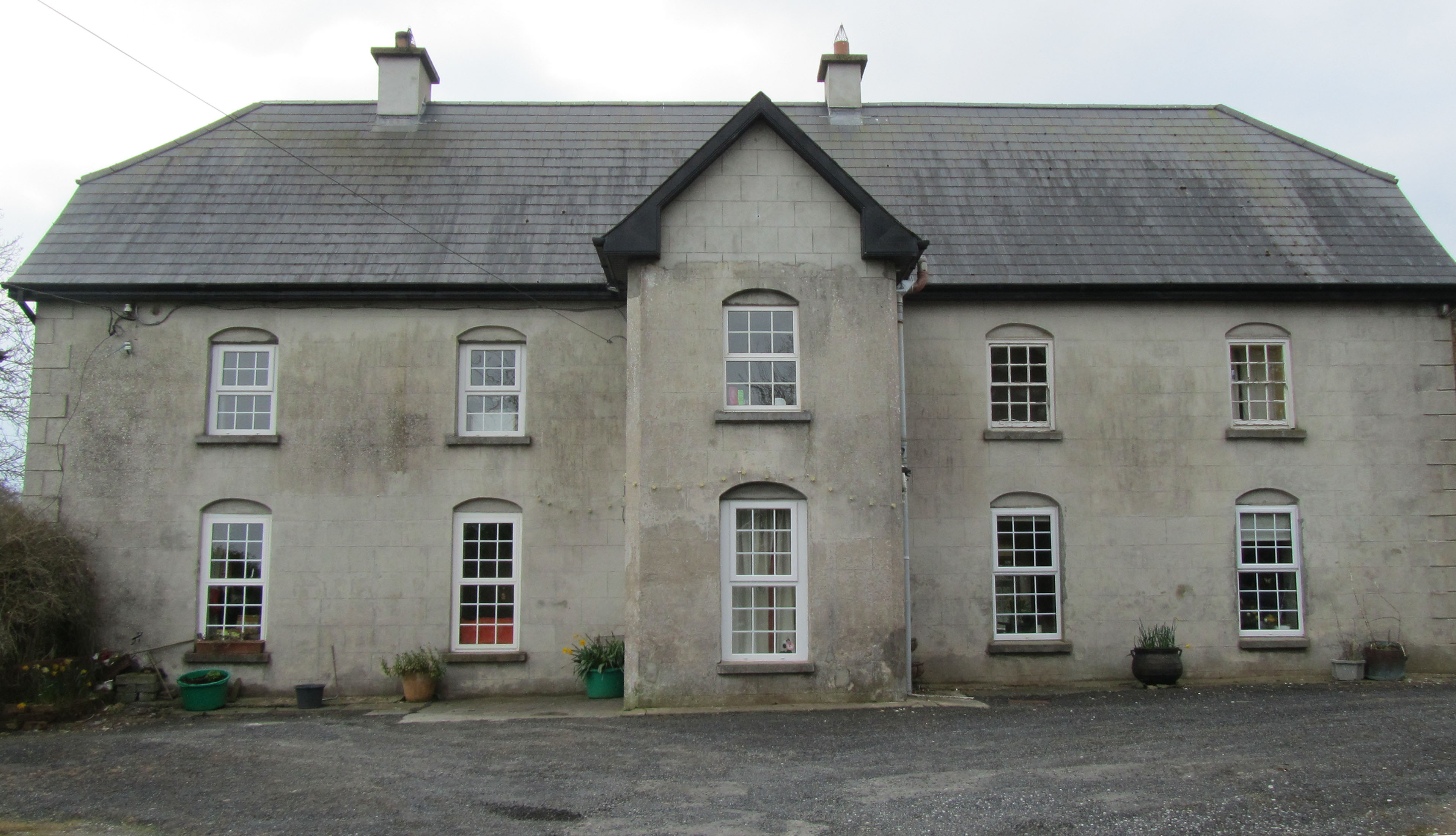
| Cartown | Built in 1763 Cartown was the residence of Mr Baldwin in 1826 and of John Edward Langford in 1837. In the early 1850s Griffith's Valuation records the vacant house as valued at £24, William Sheedy holding the whole townland from General James Caulfeild. By the late 19th century the house was in the possession of the Westropp family. This house is still extant and occupied. |
|
| Mellon | The Westropp family are recorded as "of Mellon" from the early 18th century. Bence Jones dates the present house from circa 1780, the Ordnance Survey Field Name Books from 1812. Inhabited by Mrs Jane Westropp (nee Dawson) in the early 1850s. It was valued at £36. This 3 storied house was still in Westropp possession in the late 20th century. It is now run as a stud. |
|
| Mount Pleasant | The Ordnance Survey Name Books record that this house was built in the mid 18th century by a Mr Star. It was a neat farm house occupied by Mrs Hill in 1837 and by Thomas Hill at the time of Griffith's Valuation. He held the property from Daniel Leahy and the buildings were valued at over £11. This house is still extant and occupied. |
|
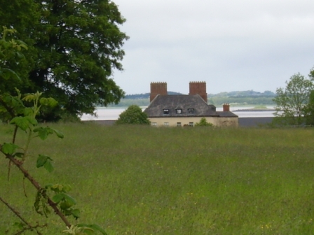
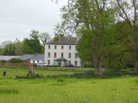
| Shannon Grove | Originally the home of the Bury family, Earls of Charleville, overlooking the Shannon estuary. The Ordnance Survey Name Books record this house as four-storied, built in 1709. Bence Jones dates this house from the early 18th century. Lewis writes that Shannon Grove was the old family mansion of the Earls of Charleville and "now the residence of Bolton Waller". Bolton Waller held the property in fee in the early 1850s when the buildings were valued at £43 and the demesne was over 400 acres. Bought by John Sheehy of Askeaton in 1860 and remained in the possession of his descendants until the mid 20th century. The house is still extant and occupied. |
|
| Castletown | The main residence of the Waller family in the 18th and 19th centuries, now demolished. The house was valued at £80 in the early 1850s when it was the residence of the Reverend William Waller. By 1906 its value was reduced to £72.5 shillings and it was occupied by the Reverend John Thomas Waller who was also resident in 1894. The surveyor for the Irish Tourist Association Survey in 1944 refers to the house being recently levelled to the ground. | |
| Bushyisland | This house was the residence of Peter Lowe in 1814 and in 1837. John Peppard MD was the occupier at the time of the first Ordnance Survey and of Griffith's Valuation. He held the property from Bolton Waller and had converted the house into an asylum. | |
| Stonehall | A house built c.1803 and situated on the Waller estate. It was occupied by the Langford family from at least the early 19th century. At the time of Griffiths Valuation, it was leased by Edward Langford from William Waller, when it had a valuation of £11. It appears to have been occupied by Robert Smyth in the early 20th century. This house is still extant and occupied. |

|
| Copsewood | Copsewood Cottage is marked on the first Ordnance Survey map at this site. A much larger house was built in the mid 19th century for Major General Caulfeild. It was valued at £36 at the time of Griffith's Valuation and at £63 in 1906. It remained in the possession of the General's descendants until 1919 when it was bought by the Salesian Fathers who started an agricultural school. It is now a secondary school run by the Salesian Order. |
|
| Milltown | The Reverend Champagne was resident at Milltown from at least 1837. He is recorded as the occupier of this house in the early 1850s when he held the house valued at £28 from the Reverend Tyrell Evans. | |
| Holly Park | In 1786 Wilson describes Holly Park as "the seat of Richard Taylor, it is very commodious and well-situated, having convenient offices and extensive demesnes". Lewis writes that Holly Park was the ancient residence of the Taylor family "now the property of Sir Aubrey de Vere". However Griffith's Valuation records Richard Taylor holding Holly Park in the early 1850s in fee. It was valued at £36. In 1894, Slater referred to it as the seat of George Taylor and in 1906 George Taylor held 277 acres of untenanted land and a mansion house valued at £34 at Currahchase North. Sold by the Taylors in 1939. Feheney writes that the son of Tom Clarke, one of the leaders executed in 1916, bought Holly Park from the Land Commission in the 1940s. The home of John Philip Cohane in the 1970s who had restored the house after a fire. It is still extant. | |
| Ballynolan | This 3 storied house was the seat of the Reverend Thomas Westropp, rector of Ardcanny, built by him [his father?] in 1797. It was occupied by H. Potter esquire in 1837 and by Peter W. Morgan at the time of Griffith's Valuation who held it in fee with a demesne of 98 acres. Valued at £11.10 shillings in 1906 and occupied by Sarah E. M. Westropp. Still extant and occupied. |
|
| Ballynacourty | A house occupied by Thomas Davenport from at least 1837. The Ordnance Survey Field Name Books circa 1840 state that the house was built by John Evans "about 90 years" previously. It was two storeys high. The house was valued at £15 in the early 1850s and was held from Daniel D. Power. The house is still extant and now owned by John Feheney. For more information see www.iverusresearchfoundation.com (See ‘Research Notes’, Ballinacourty House). |
|
| Bolane | Bollane Cottage was occupied by Arundel Hill in 1837. A house at Bolane was the residence of Thomas Hanly in the early 1850s and valued at £16. It was held from Daniel D. Power. A house is still extant at this location and occupied. |
|
| Ballynacarriga | The Ordnance Survey Field Name Books describe this house as "falling into decay", the property of Mr Enright. By 1837 a Mr Dawson was the proprietor of Ballynacarriga House and in the early 1850s it was occupied by Dawson L. Westropp. In 1906 Ballynacarriga valued at £20.10 shillings was occupied by Norris Richard Russell. | |
| Ballynacarriga | Built in 1819 this house was occupied by a member of the Hill family at the time of the Ordnance Survey who was renting the property from Mrs Hurst . Lewis records H. Hurst as resident in 1837 and in the early 1850s Captain Richard Gloster held this house valued at £21 in fee. This house is now known as Rockfield. |

|
| Castlegrey | A house in the possession of the Langford family in the 19th century, the residence of G. Langford in 1837 and of Charles Wiedenham Fosbery in the early 1840s and 1850s. He held the property from Mrs Jane Langford. It was valued at £11. Slater refers to it as the seat of Captain Frederick Verschoyle in 1894. Some buildings are still extant at the site. | |
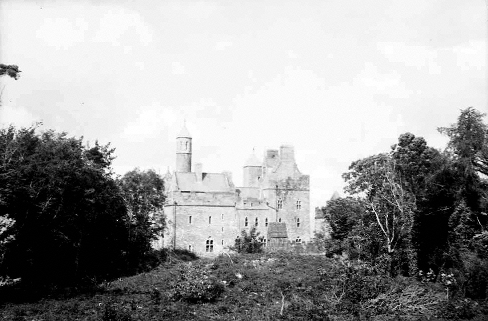
| Dromore Castle | In 1868 the building of Dromore Castle began. It was an elaborate country retreat for the 3rd Earl of Limerick designed by Edward William Godwin. In 1906 this mansion house was valued at £75.10 shillings. The 4th Earl of Limerick did not visit Ireland very much and the castle was sold in 1939. In 1944 the Irish Tourist Association surveyor refers to the castle as the property of Mr M.McMahon, a timber merchant of Limerick, who bought the property in 1941 for a reputed £8,000. By the mid 20th century it had fallen into disrepair and the roof was taken off. Plans to develop the site and to demolish the ruin are current issues discusssed in the local and national press. |
|