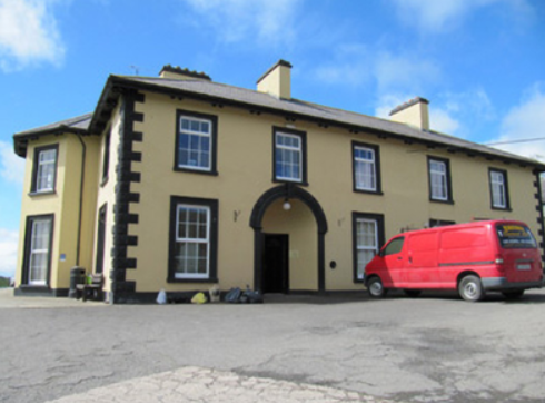
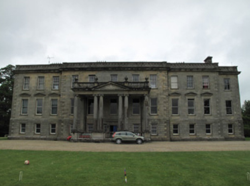
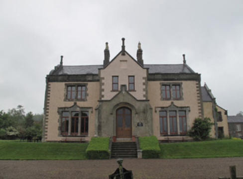
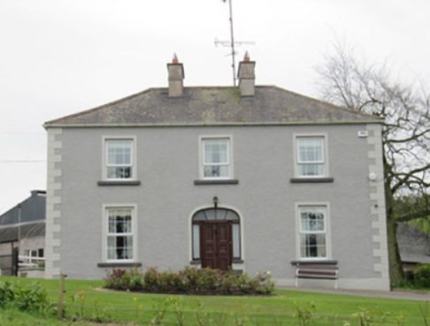
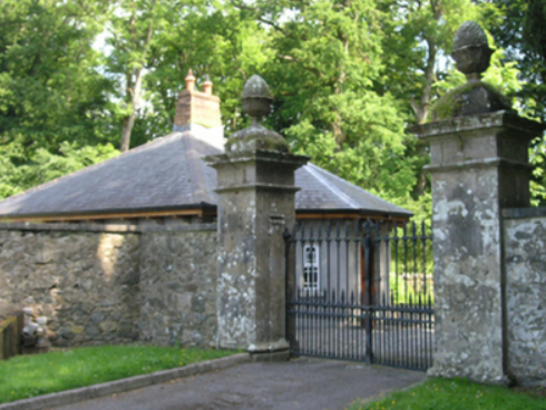
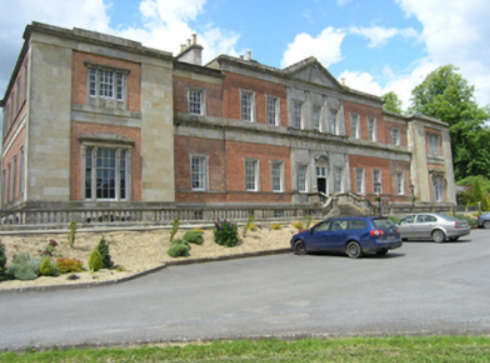
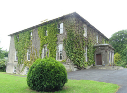
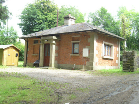
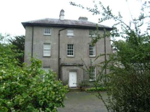
Fort Henry
Houses within 10km of this house
Displaying 30 houses.
Houses within 10km of Fort Henry
Displaying 30 houses.
| House name | Description | |
|---|---|---|
| Freame Mount | This house was built in 1772 (date stone confirms this) for Charles Mayne, land agent, on the Cremorne estate. According to a website dedicated to the history of the Mayne family, it was named after the second wife of Thomas Dawson, Hannah Freame, granddaughter of William Penn. The house was occupied by William Douglas in the mid-19th century and valued at £24. It was occupied by George John Levis, a bank official, and family in the early 20th century. |

|
| Tonnagh House | Lewis records Captain C. Dawson as the proprietor of ‘Tanagh’ in the 1830s. Charles Boyle held the property in fee at the time of Griffith’s Valuation when the buildings were valued at £17.5.0. Home of a branch of the Lucas Clements family in 1901 and of Dr Arthur Robert Moore and family in 1911. The National Inventory of Architectural Heritage states that this house has also been an army barracks and seminary (1948) and that it is now used as an outdoor education centre. http://www.tanaghoutdooreducation.com/ |
|
| Hilton Park | According to Shirley it was originally called Maddenstown, changed circa 1780 to Hilltown or Hilton. The Reverend Samuel Madden purchased the estate in 1734 and built the house. It was badly burnt in 1803. In Griffith’s Valuation the buildings were valued at £110 and held by John Madden in fee. The house was extensively enlarged in the 1870s for John Madden by William Hague. The gardens were designed by Ninian Niven. Hilton Park is still the family home of the Madden family where they offer luxury accommodation and authentic country house food, see http://www.hiltonpark.ie/ |
|
| New Park | A house named on the 1st edition 6 inch Ordnance Survey Map (1836), it was occupied by Dacre Hamilton in the 1830s. Home of Thomas Atkinson in the 1850s, valued at £10 and held from Mary Elizabeth and Charlotte O’Brien. Home of the Carleton family in the early 20th century. | |
| Forest View | This house is named on the 1st edition 6 inch Ordnance Survey Map (1836). In the mid-19th century it was occupied by Thomas Dawson and held from Lord Cremorne. The buildings were valued at £12. Partial remains are still visible at this site. | |
| Annaghmakerrig | Annaghmakerrig, now the Tyrone Guthrie Centre, was built in the first decade of the 19th century on the site of a house known as Leesborough, which was the home of the Lee family in the 18th century. In 1802, the property was leased in perpetuity to Dr John Moorhead, a local doctor. Eventually inherited by Martha Moorhead, who married William Power in 1859. William, the son of Tyrone Power, a well-known Irish actor, was knighted in 1865. In 1906, Sir William J.T. Power occupied the mansion house with a rateable valuation of £86.10s. One of William and Martha’s daughters, Norah Power, was the mother of Tyrone Guthrie and it was through his mother that Tyrone inherited Annaghmakerrig. When he died in 1971 he left the house to the Irish State for the benefit of artists, see http://www.tyroneguthrie.ie/about/centre. |
|
| Minore | Named on the 1st edition 6 inch Ordnance Survey map (1836), Lewis records Minore as the residence of Captain ‘Cottnam’. The Encumbered Estates sale rental of 2 June 1853 states that the house was erected by Thomas Cottnam, deceased. The owner at the time of the sale was Mrs Grace Cottnam, widow and she was entitled to a jointure out of the lands. The petitioners were Rutherfords and Brunkers. By the time of Griffith’s Valuation it was occupied by Thomas Leary who held it from Dr Brunker. Home of Hester Parkhill in 1901 and of the Reverend Thomas Brennan, parish priest, in 1911. In more recent times the home of the Clegg family. | |
| Dartrey House/Dawson's Grove | Dawson Grove, later known as Dartrey House, is marked on the 1st edition 6 inch Ordnance Survey Map (1836). It was built about 1770. Lewis refers to it as a ‘noble mansion’. In 1846, the 3rd Lord Cremorne/1st Earl of Dartrey replaced this house with a large Elizabethan-Revival mansion designed by William Burn. A fire in 1856 destroyed part of the house. At the time of Griffith’s Valuation, circa 1860, the buildings were valued at £105 and still valued at the same in 1906. The family honours became extinct in 1933 following the death of the 3rd Earl and the house was demolished in 1946. |

|
| Dromore Lodge | A house situated on the Cremorne estate, close to Dawson’s Grove and almost on the border with county Cavan. The house is named on the 1st edition 6 inch Ordnance Survey Map (1836). It was occupied in the 1830s by Lieutenant Dawson of the Royal Navy. The building was reduced in size by the time of Griffith’s Valuation when it was rated at £6.10.0. John West Finlay was resident. By the early 20th century it has become the home of the gamekeeper on the Dartrey estate. A building is still located at this site. | |
| Lake View (Ematris) | This house looks out on Long Lough. It was occupied by William Richey and valued at £10, circa 1860. Home of the Gillespie family in the early 20th century. |
|
| Coolnacarte | Marked on the 1st edition 6 inch Ordnance Survey map (1836), this building is named Coolnacarte Lodge on the 25 inch map (surveyed 1908). The Ordnance Survey Field Name Book states that Coolnacarte was ‘the property of W. Glascock Esq whose embarrassment has thrown it into the courts of Dublin; who appointed Mr Samuel Martin agent’. In the mid-19th century it was valued at £13, occupied by the Reverend Thomas Gartlan and held from Richard Henry. In 1906, William Henry M.D. was resident, when the buildings were valued at £10. The house is extant. | |
| Redhill House | The Whyte family were resident at Redhill from the 17th century. The first edition Ordnance Survey map (publ. 1837) marks a building in ruins which was the original castle. A house was built to the north east. The Ordnance Survey Field Name Book states that Redhill lately belonged 'to Mr White now in France, estate in Chancery, executors Mr Boyd of Cootehill and Col Clements'. The house 'is a small tho' convenient building with out-houses, the ancient castle in ruins, destroyed by fire 40 years ago.....The house is unoccupied except by a care taker’. Following the death of Francis Melville Whyte in 1833, Redhills was inherited by his niece Georgina Mary Enderby. She married the Reverend Edmund Burke Venables in 1847. Named on the first edition Ordnance Survey map (publ. 1837), Redhills was the residence of the Reverend E.B.W. Venables at the time of Griffith’s Valuation. Valued at £8, he held it in fee. Redhills was the home of the Reverend Arthur Thellusson Oddie in 1905 when he assumed the name and arms of Whyte Venables. In 1906, Georgina Whyte Venables is recorded as occupant when the mansion house was valued at £53.10.0. A building still stands on this site and the gate lodge survives. |
|
| Ballyhaise | Ballyhaise built for Colonel Brockhill Newburgh, design attributed to Richard Castle but more likely Sir Edward Lovett Pearce, early 18th century. About 1800 sold to Williamm Humphrys who added two storey wings to the building. Lewis describes the house in 1837 as ‘a spacious mansion, with an elevated front curiously ornamented with arches’. It was the seat of William Humphrys. In the 1850s the buildings had a rateable valuation of £110. Since 1905, Ballyhaise has been an agricultural college. |
|
| Clonervy | In 1814, Clonervy was the home of Richard Blackwood. Located on the estate of Earl Annesley it was vacant at the time of Griffith’s Valuation when its rateable valuation was recorded as £30. George Graham occupied Clonervy in the 1860s and in 1880 it was the residence of the subsheriff John Maxwell James Townley. The Irish Builder records plans for general repairs to Clonervy House for Patrick Lyons in 1912. A smaller building still occupies this site. | |
| Lisnagowan House | Built as a dower house for the wife of William Humphrys who bought Ballyhaise about 1800. In the-mid 1830s occupied by Mrs Humphreys as stated by Lewis. Griffith’s Valuation records William Humphrys as the occupier, holding the property in fee. Still the home of a member of the Humphrys family in 1901. Richard Weir and his wife occupied the house in 1911 holding it from Nugent W. Humphrys. Damaged by fire in the early 20th century, the building is now a ruin. See http://cvn049.blogspot.ie/2016/03/lisnagowan-house.html for photo. | |
| Bellamont Forest | A red brick house, designed by Sir Edward Lovett Pearce c 1728 for Thomas Coote, younger son of Richard, Baron of Collooney. Originally known as Coote Hill but its name changed in 1767 to Bellamont Forest following Charles Coote’s elevation to the title Earl of Bellamont (2nd creation). Bellamont Forest was inherited by Charles Johnston Coote in 1800. He was one of the illegitimate children of the Earl. Bellamont Forest was occupied by Richard Coote in the mid-19th century. He held it in fee and the buildings had a rateable valuation of £50.10.0. It was sold by George Coote in 1875 to Edward Smith (K.V. Mulligan), who made a fortune out of coal. Edward Patrick Dorman Smith was the eldest son of Edward Smith and his wife Isabella Cullen and succeeded to Bellamont Forest in 1880. In 1906, Captain E. P. Smith was the occupant of the mansion house with a rateable valuation of £61.5.0. The property remained in the hands of the Smith family until the 1980s when it was purchased by an Australian, John Coote, a descendant of the former owners who spent many years renovating the house. John Coote died in 2012 and the house was sold in 2015 to an American couple. | |
| New Grove House | New Grove House and mill with a rateable valuation of £70 were in the possession of Charles Murphy in the 1850s. He held the property from Richard Coote of Bellamont Forest. A building still exists at this site but the mill is now a ruin. | |
| Lislin House | Lislin House, situated close to the bank of the Annalee River, is named on the first edition six inch Ordnance Survey map (publ. 1837). The building is believed to date from the late 18th century and came into the possession of the Battersby family through marriage. At the time of Griffith’s Valuation Robert Battersby was the occupier and owner. The rateable valuation of the buildings was £6. Home of the James and Agnes Simons at the beginning of the 20th century, now a ruin. | |
| Rakenny/Rathkenny House | A two storey square block of a house built in the late 1820s for Theophilus Lucas-Clements to the design of William Farrell. According to Bence Jones it was built with money given to Theophilus ‘by his cousin, Harriet, whose father, Captain John Clements, made a considerable fortune commanding a ship in the East India Company service’. A previous Clements home had been located on the other side of the Annalee River, of which the 18th century demesne and tea house survive and a walled garden dating back to 1695. Rakenny is the name of the house on the first edition six inch Ordnance Survey map (publ. 1837) but the house is commonly known as Rathkenny. It had a rateable valuation of £48.5.0. in the mid-19th century. Rathkenny House continued to be the home of the Lucas-Clements family until it was put up for sale in 2012 (Irish Times, 10 May 2012). | |
| Wood Lodge | Wood Lodge was the home of Elizabeth Anne Clements and her husband, the Reverend Edward Lucas, at the end of the 18th century. This house was situated in the Rakenny demesne to the south of the new Rathkenny house built in the 1820s by their son. It is named on the first edition six inch Ordnance Survey map (publ. 1837) when it is shown as a square block of four buildings surrounding a court yard. Valued at £10.5.0. at the time of Griffith’s Valuation, it was occupied by William Armstrong (Lewis records J. Armstrong as proprietor of Woodford, parish of Enniskeen). The building was reduced in size as shown on the 25 inch map. The Lodge is no longer extant. | |
| Annaghlee House | This house faced the nearby Annalee River. Described by Bence Jones as a ‘mid-c18th red-brick house attributed to Richard Castle’. It is named on the first edition six inch Ordnance Survey map (publ. 1837). In 1806 occupied by Mr Willis (Matthew Sleater) and in 1814 ‘Annalea, Coothill’ was the home of Michael Murphy. Lewis in the 1830s also records ‘Annilea’ as the residence of M. Murphy. John Marsden held the property valued at £12.10.0. from Robert Burrowes in the 1850s. A large B & B complex now occupies the site. | |
| Drumeltan House | Drumeltan is named on the first edition six inch Ordnance Survey map (publ. 1837) when it had a walled garden. It was situated on the estate of the Bishop of Kilmore and was held by Isabella Cooney in the 1850s when the buildings had a rateable valuation of £9.10.0. It passed from the Cooneys to the Adams family. In 1884 Drumelton House was rebuilt by William Adams (1837-1908) to the design of James Franklin Fuller. William’s mother was a Cooney. In 1906, it had a rateable valuation of £30. It remains the home of the Adams family well into the 20th century. See http://landedfamilies.blogspot.ie/2013/04/31-adams-of-drumelton-house-and.html for image and family history. | |
| Ashfield Lodge | Described by Bence Jones as a late Georgian house, now demolished. The house faced north west and looked onto the Dromore River. It was the home of a branch of the Clements family until 1952 when sold. Colonel Henry Theophilus Clements was the occupant in the mid-19th century holding the property in fee. The house was valued at £44 for rates. | |
| Retreat/Faybrook | Retreat, set in a small demesne close to Dromore River with a corn mill nearby, is named on the first edition six inch Ordnance Survey map (publ. 1837). It appears to have been a Bredin home in the early 1850s. By the time of Griffith’s Valuation it belonged to Thomas Fay and was occupied by James Boyle. The rateable valuation was £10. The house reduced in size, or possibly a new structure, was renamed Faybrook. It is marked on the 25 inch map and is still extant. | |
| Drumsheil House | Drumsheil was originally part of the Ashe estate which was sold to the Clements family. It is named on the first edition six inch Ordnance Survey map (publ. 1837) and was situated close to a lough of the same name. The house, with a rateable valuation of £8, was occupied by William Caldwell in the mid-19th century and held from the representatives of Charles Adams. The Caldwell family were still resident in 1911. The site is now a green field. | |
| Tullyvin House | Tullyvin was originally a home of the Moore family. In 1814 the Reverend Benjamin Adams was resident. It was inherited by Maxwell Boyle, who according to the National Inventory of Architectural Heritage rebuilt the house circa 1820. At the time of Griffith’s Valuation the house was vacant but in the possession of Maxwell W. Boyle. It was valued at £30 for rates. In 1876, Tullyvin was the home of Mrs Charlotte Townley, the owner of over 2,000 acres in the county. The house had a rateable valuation of £30.10.0. in 1906 and Maxwell J. Boyle was recorded as the occupier. This house is still a fine residence. |
|
| Fort William/Errigal | Situated on the north side of the Annalee River, Fort William is named on the first edition six inch Ordnance Survey map (publ. 1837). By the time of Griffith’s Valuation it was owned and occupied by Samuel Moorhead. The rateable valuation was £25. The house was extended and renamed ‘Errigle’ as shown on the 25 inch map. In 1906, it had a rateable valuation of £40 and was occupied by Thomas H. Moorhead MD. It now functions as the Errigal Country Hotel. | |
| Countenan House | Countenan House on the shore of Countenan Lough is named on the first edition six inch Ordnance Survey map (publ. 1837). It was occupied by Thomas Hartley in the 1850s and held from Robert Burrowes. The rateable valuation was £10.10.0. Home of the Hawe family at the beginning of the 20th century, this house is apparently still attached to a farming enterprise. | |
| Stradone | According to Burke’s Irish Family Records the Burrowes family were resident at Stradone from at least the mid-18th century. The architect J.B. Keane designed the 19th century house for Major Thomas Burrowes in 1828. His son Robert Burrowes was the owner and occupant in the 1850s when the rateable valuation was recorded as £67.10.0. The Burrowes were still in possession of Stradone in the early 20th century until it was burnt in June 1921. The stables and a gate lodge survive. |
|
| Corravahan House | Built circa 1841 by Rev Marcus Gervais Beresford, later Archbishop of Armagh, close to the site of the former Drung Parsonage. The house served as the parish rectory until 1870 when it was sold to the Rev Charles Leslie, cousin of the Glaslough Leslies. In 1906, it was occupied by Captain C.R. Leslie and had a rateable valuation of£39. It remained a Leslie family home until 1972. Bought by the Elliott family in 2003 who have been renovating the house and gardens. |
|