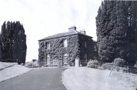
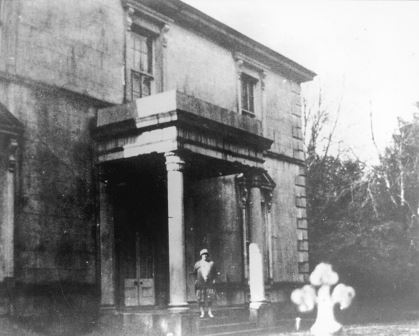
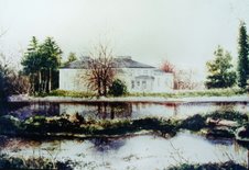
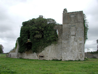
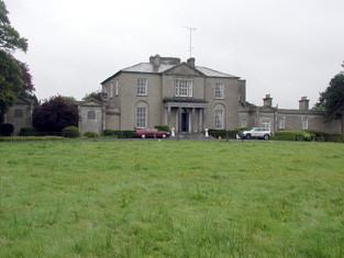
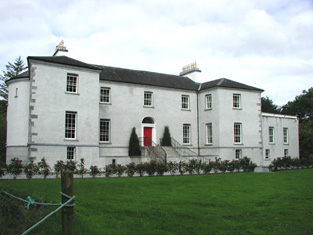
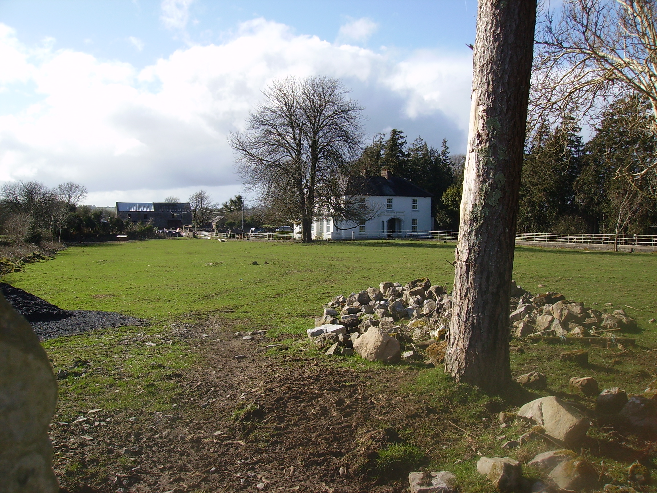
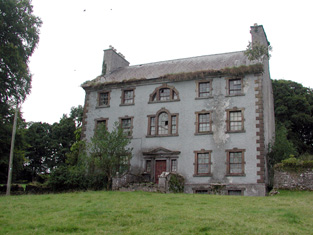
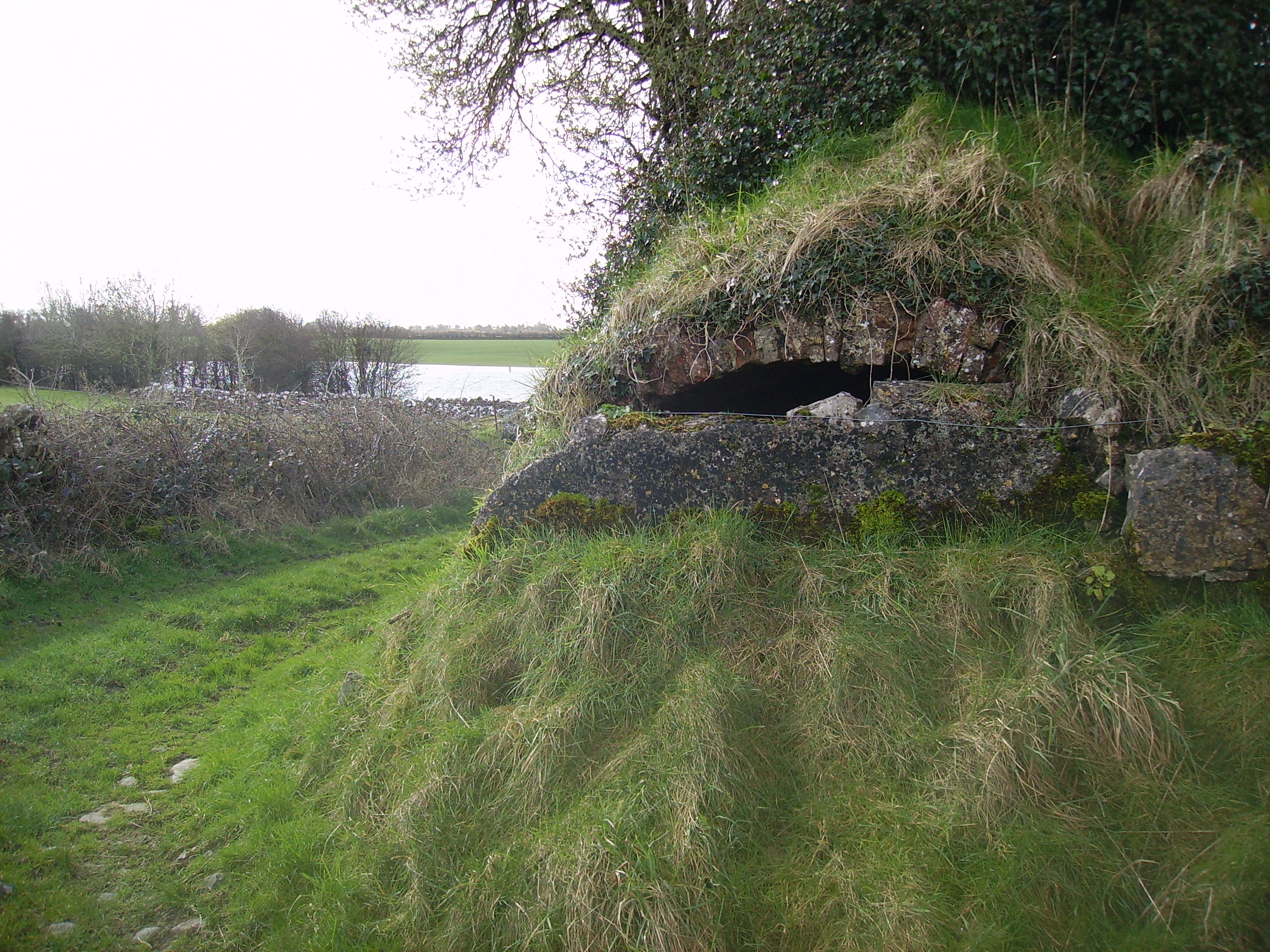
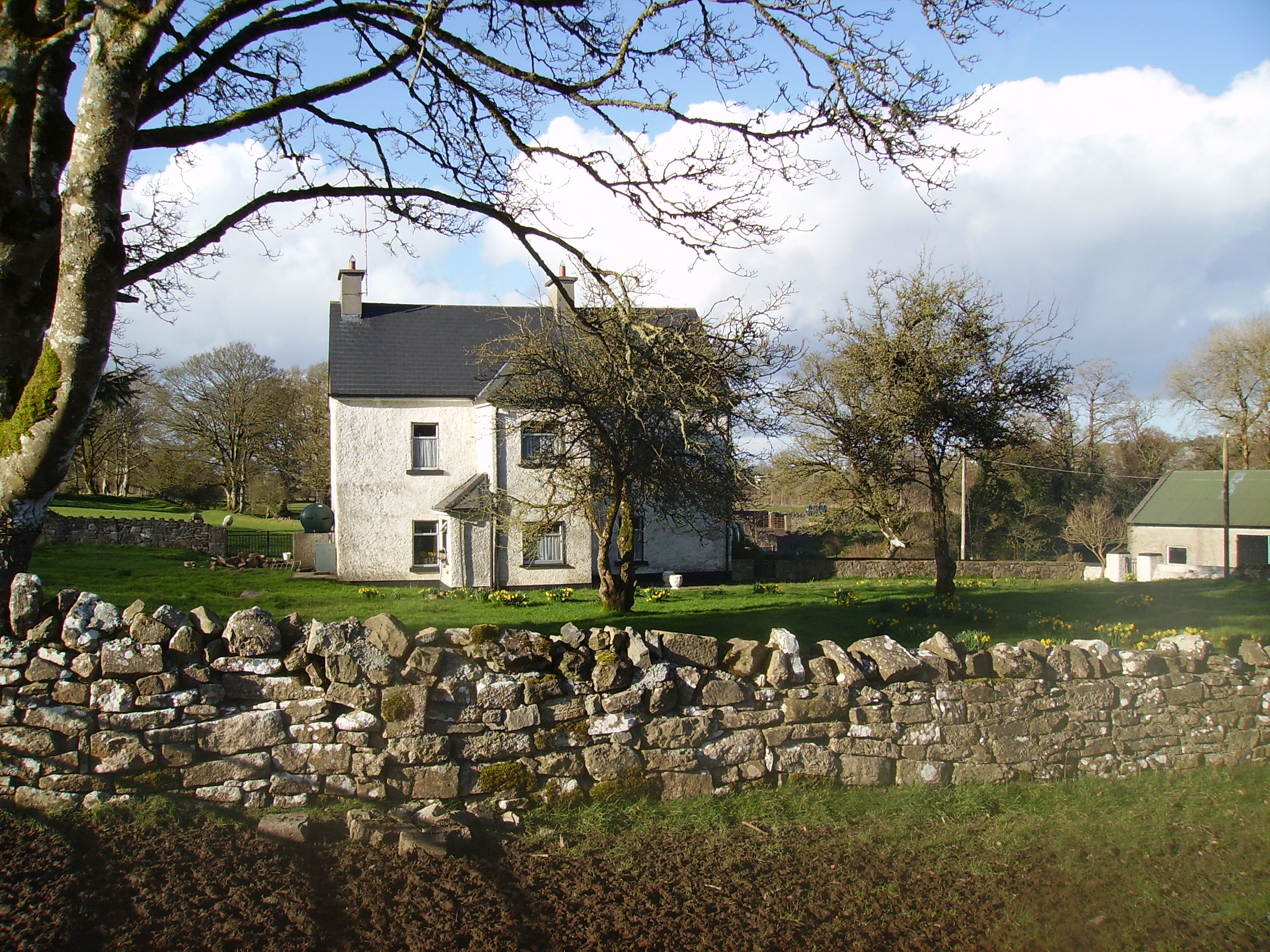
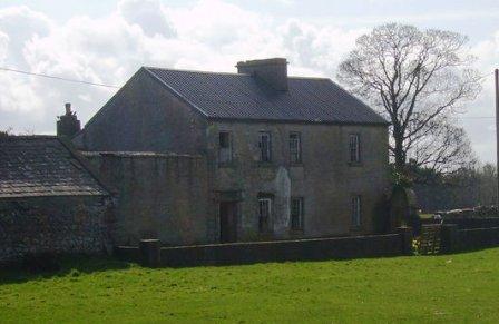
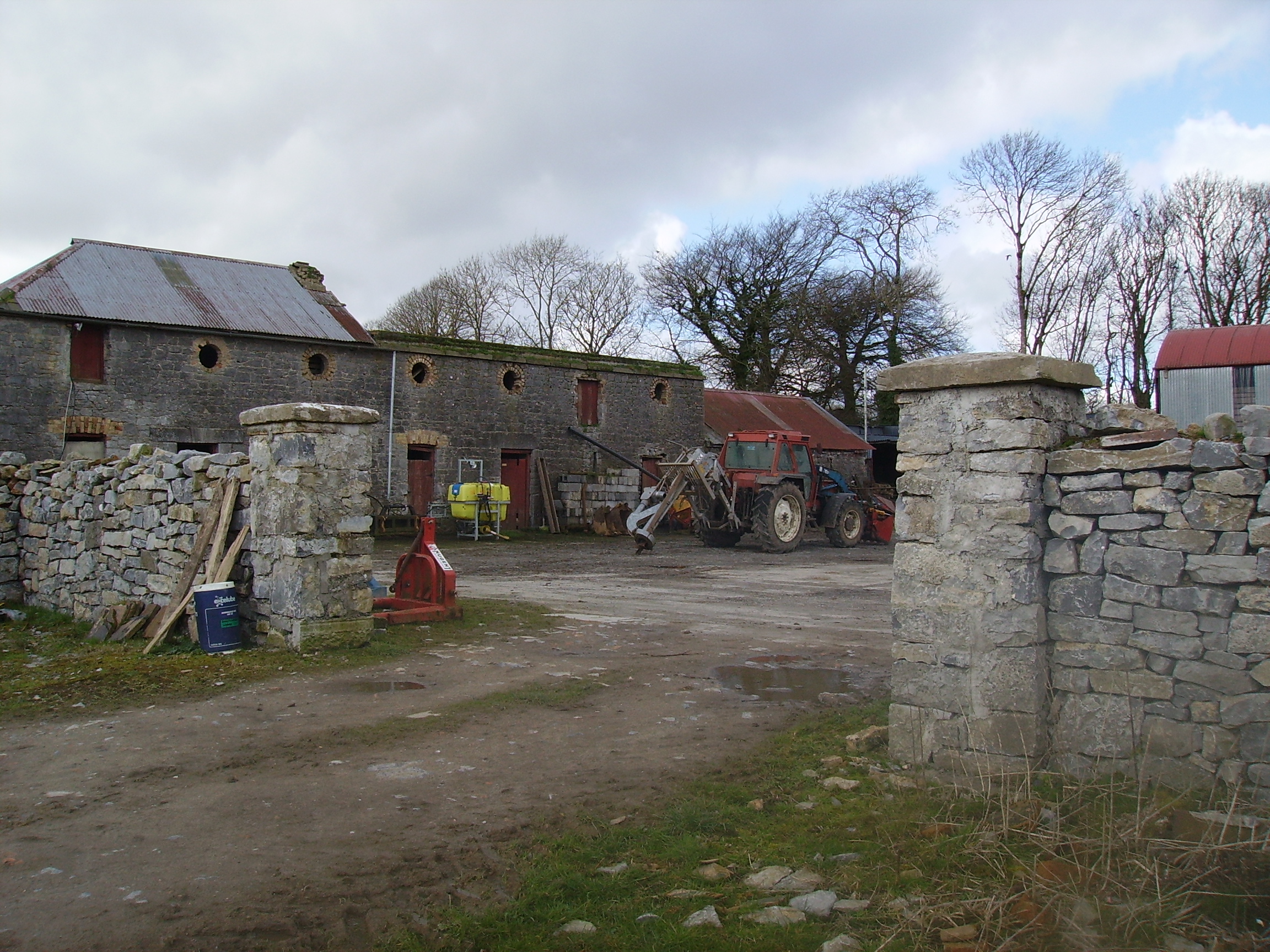
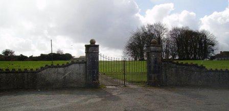
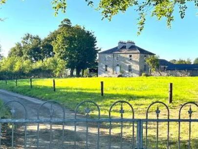
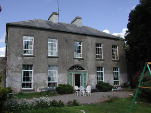
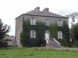
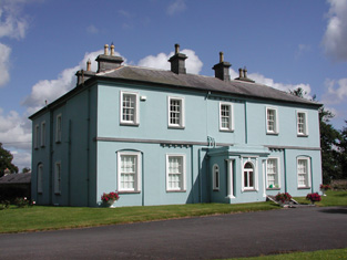
Rookwood
Houses within 15km of this house
Displaying 89 houses.
Houses within 15km of Rookwood
Displaying 89 houses.
| House name | Description | |
|---|---|---|
| Mote Park | The home of the Crofton family from the 17th century, valued at £140 in 1906. ''Saunders Newsletter'' dated 17 May 1865 refers to a fire at Mote Park which badly burnt the house. The house was demolished in the 1960s. Roscommon Golf Club occupies part of the original Mote Park demesne. |

|
| Castleffrench | Castle ffrench is said to have been built c.1779 by Charles Ffrench, then Mayor of Galway. Wilson, in 1786, in one instance refers to "Clougher" as the seat of Mr. French but in a later reference notes Castle-French as "the fine seat of Sir Thomas French". In 1814 and again in 1837 it is recorded as the residence of Lord French. In 1856 it was occupied by James Thorngate when it was valued at £40. It is still extant and occupied and in 2006 was offered for sale. |

|
| Ticooly/Tycooly | Occupied by the O'Kellys in the 18th and early 19th centuries. By the time of Griffith's Valuation it was part of the Clonbrock estate and was valued at £16. A building on a slightly different site, is noted as Tycooly House on the 25-inch Ordnance map of the 1890s. There is still an extant property at this site. |
|
| Newforest | Built prior to 1777, Wilson refers to it as the seat of Mr. D'Arcy in 1786. It was held in fee by Richard D'Arcy at the time of Griffith's Valuation when it was valued at £24. It was demolished in the latter half of the 20th century. |
|
| Kentstown | The sales rental of June 1851 records the leasing of Kentstown, by Netterville and Geoffrey Davies, to Thomas Davies, for 31 years from 10 July 1838. It was held in fee by him at the time of Griffith's Valuation when it was valued at £12. In the 1877 sales rental the house was described as having "a parlour, drawing room, 6 bedrooms, kichen, dairy and servants' hall". A house is still extant at the site. | |
| Clooncah | A house built after the publication of the 1st Ordnance Survey map, at the time of Griffith's Valuation it was by John Love. The house was valued at £12 and held from John Armstrong. In 1885 Walford describes John Armstrong as a magistrate for county Galway, and of "Clooncagh and South Hill, Clifden". The site at Clooncah is now occupied by farm buildings. | |
| Glinsk House | In 1786 Wilson refers to Glinsk as the "seat of the late Sir John Burke" and also as the seat of Sir Rickby Burke. Glinsk Castle and a substanial house are both marked on the 1838 Ordnance Survey map. The castle is shown on the 25-inch map of the 1890s but there is no trace of the house. At the time of Griffith's Valuation, Allen Pollok held buildings valued at £1 15 at the site, recorded as a herd's house. | |
| Fairfield | Valued at £18 and held in fee by Pollok at the time of Griffith's Valuation. It is no longer extant. | |
| Millford | Allen Pollok held a steward's house and offices valued at £16 at Millford at the time of Griffith's Valuation. Extensive buildings remain at the site. | |
| Skehaghard | Built by Allen Dowell circa 1840. Occupied by Edward Dowell at the time of Griffith's Valuation when it was valued at £32. Advertised for sale in 1855 and bought by Alan Pollock. A lithograph and long description of the house are included in the sale rental. It was the home of Pollock's steward, George Lowe, for a time and leased to Martin J. McDonnell from 1883-1912. Taken over by the Congested Districts Board in 1918, the house was demolished in 1919. |
|
| Curraghbog | Leased by Allen Pollok to Michael Kelly in the mid 1850s when it was valued at £7. A house is still extant at the site. | |
| Newtown | John Burke, a gentleman, was living at Newtown in 1749. Valued at £4 in the mid 1850s. The property seems to have disappeared by the time of the 25-inch Ordnance map of the 1890s. | |
| Killian | This house was the main residence of the Cheevers family, valued in the mid 19th century at £45. The house is no longer extant but the gate lodge survives. |
|
| Netterville Lodge | A two storey 19th century house, the home of the Nettervilles and the Gerrards. Came into the possession of the Fallon family of Runnimeade, county Roscommon, following the death of Marcella Gerrard in 1865. Occupied by Cecilia Fallon in 1906, later demolished. Both Taylor and Skinner and Wilson indicate a second Fallon property, Highlake, in the area in the 1780s. |
|
| Aghrane Castle/Castle Kelly | A 16th century tower house with 19th century additions. Castle-Kelly is recorded by Wilson as the seat of Denis Kelly in 1786. Lithographs of the entrance to Castle Kelly, Castle Kelly and Ballygar town are included in the sales rental of 1863. It was bought by the Bagots, sold by them to the Department of Agriculture in 1910 and demolished in 1919. Parts of the demesne are now owned by Coillte, the Forestry Service. |
|
| Ballybaun | Wilson refers to Ballybawne as the seat of Mr. Kelly in 1786. Occupied by John Kelly in 1837 and by John Mahon at the time of Griffith's Valuation. The sales rental of 1863 includes a lithograph of Ballybaun, which was described as 4 storeys high. The house was occupied by the Mahon family until 1916 when it was taken over by the Congested Districts' Board. It is no longer extant. |
|
| Thornfield | Occupied by John Mahon at the time of Griffith's Valuation and held from the Kellys. The sales rental of 1863 includes a lithograph of Thornfield which was sold privately to Christopher Bagot. It continued to be occupied by the Mahon family until 1917, when it was taken over by the Land Commission, Henry English inhabited the house until the 1950s. This house on the Galway/Roscommon border now appears to be a ruin, with a substantial garden wall still intact. |
|
| Riversdale | In the 1830s the house is described as "on rising ground and in good repair" Held by James Kelly in fee at the time of Griffith's Valuation when it was valued at £22. The original house is no longer extant. | |
| Muckloon | In 1786 Wilson mentions "Muckland" as the seat of Mr. Kelly. Occupied in the mid 1850s by Richard P. Lloyd to whom most of the Kelly estate was let. The house was then valued at £20. It is no longer extant. | |
| Ballinamore House or Curraghboy Lodge | The residence of Martin ffrench held by him in fee at the time of Griffith's Valuation and valued at £35. The house is noted on the 1st edition OS map as Curraghboy Lodge. In 1906 the owner was Michael Neary. |
|
| Ballinlass | William Kelly was residing at Ballinglass, parish of Killeroran, in 1749. Occupied by Nicholas D'Arcy from the 1830s to the early 1850s and by Malachy Fallon in the mid 1850s. Buildings exist at the site. | |
| St Brendans | Occupied by the Honourable Thomas ffrench from the 1830s to 1850s who held the house from the Honourable Martin ffrench. It is now almost ruinous. |
|
| Claremont | Described in the Ordnance Survey Name Books as a 'neat modern building', the house was located close to the bank of the River Suck. It was the home of Gonville ffrench and he held it from the D'Arcy family. In the D'Arcy sales rental of May 1851 there is reference to 'the splendid mansion' of Gonville ffrench. Occupied by the Honourable Clarinda ffrench in the 1850s who held the property from the Right Honourable Richard W. Greene, valued at £21. The house is now a ruin. |
|
| Dunamon | A tower house with 18th and 19th century additions, In 1786 Wilson refers to Dunamon, the seat of Mr. Caulfeild, as "a fine old castle". Occupied by John Shiel, leasing from the Caulfeild estate at the time of Griffith's Valution, when it was valued at £35. In 1894 Slater refers to it as a residence of St.Geroge Francis Caulfeild. Bought by the Divine Word Missionaries from the Land Commission in 1939 and now in use as a care centre. |
|
| Woodbrook | Originally a Netterville home, Woodbrook was located in the demesne of Netterville Lodge and is marked on the first Ordnance Survey map of 1838. At the time of Griffith's Valuation it was described as a steward's house valued at £5. It is now a ruin. | |
| Corra More | The residence of Colonel W. Caulfield in 1814. The home of Christopher Balfe, ninth son of Walter Balfe of Heathfield, in the 1830s. John Cornwall occupied the house in the mid 1850s when the house was valued at £23. Extensive high walls as well as the yard remain but the present owners live in a modern bungalow. |

|
| Mount Talbot | Built circa 1750, Mount Talbot is recorded by Wilson as "the fine seat of William J. Talbot" in 1786. It was enlarged by William Talbot in the 1820s. The house was valued at £70 at the time of Griffith's Valuation. A nursery business operated in the gardens in the 1890s. Burnt in 1922 and now a ruin. |
|
| Carrowroe Park | The home of the Goff family in the 19th century. Described by Lewis as a substantial and handsome mansion of limestone with a Doric portico, the residence of R. Goff. In the 1850s occupied by the Reverend William Battersby, who held the property from the Earl of Essex. Reverend Battersby was married to Mary Maud Caulfield, a daughter of John Caulfield, Archdeacon of Kilmore. The house was valued at £65. By the 1870s the residence of John Burke and the seat of Lt-Col. Michael A. Burke in 1894. Still extant and offered for sale in 2008 (Irish Times, 5 June 2008). |
|
| Rocksavage | The home of Waldrons and Ormsbys in the 18th century.In 1786 Wilson refers to it as the seat of Mr. Waldron. The residence of Jeffrey French in 1814 and occupied by Mr Smith at the time of the first Ordnance survey and by Samuel Hodson who held it from William Longfield in the 1850s. Occupied by Robert O. Longfield in 1906. A modern house now occupies the site but some old farm buildings still remain. |

|
| Keenagh | Described at the time of Griffith's Valuation as a steward's house, held in fee by Percy Magan and valued at £4.10. The ruins of the building still exist at the site. |

|
| Lackan | Occupied by James Lyster in 1814 and by Patrick McDonnell at the time of Griffith's Valuation. The house is modernised and still used as a family home. |

|
| Castlecoote | An 18th century house which has recently been restored. Occupied by T. and J. Nolan in 1814 and by William John McLoughlin in the 1850s, when the house was valued at £40. In 1894 it was the seat of Arthur and Francis Chute. See www.castlecootehouse.com. |
|
| Emlaghkeadew | At the time of Griffith's Valuation this house was ccupied by Louis Ormsby when it was valued at almost £10. It is no longer extant and a modern house exists at the site now. | |
| Castlestrange | Named after the L'Estrange family who held the land and castle in the late 16th century, Castlestrange appears to have belonged to the Gunning family early in the 18th century. A house was built by the Mitchell family in the 18th century which at the time of Griffith's Valuation was valued at £47. In 1894 the residence of James Mulry and occupied by Thomas Mulry in 1906. The original house, coach house and stables are now in ruins but other outbuildings have been converted into a home. |

|
| Coolmeen | Referred to as a herd' s house at the time of Griffith's Valuation when it was occupied by William Harrison who held it from Patrick Curtis. The house now extant at the site is not the original one. |
|
| Ballymurray House | The Crofton family are originally recorded as 'of Ballymurray'. Ballymurray is the next townland east of Mote Demesne. A house at Ballymurray was occupied by Captain E. W. Kelly in 1837 and by Edmund Kelly in the 1850s, who held the house, valued at £9, from the representatives of James Daly. William Curtis was residing in Ballymurray in the 1870s. The property is labelled "Balymurray House" on the 25-inch Ordnance Survey map of the 1890s. It is no longer extant. | |
| Mount Prospect | This house was the residence of John Browne in 1814. Recorded as the seat of Mr Fallon at the time of the first Ordnance Survey in the 1830s but in ruins by the mid 1850s. though a small portion of the house is labelled Mount Prospect on the 25-inch Ordnance Survey map of the 1890s. Small fragments of the building remain at the site. | |
| Churchboro | Occupied by Edward Kelly in 1814, E. Kelly in 1837 and by Patrick Grehan at the time of Griffith's Valuation. The house is no longer extant. |

|
| Scregg | A Kelly home built in 1767, occupied by J.E. Kelly in 1837 and Eliza Kelly in the 1850s. In the sale rental of 1856 the house is described as a respectable mansion, 3 stories high with basement and attic stories and a view of the Shannon River. Occupied in 1906 by the representatives of Henry Potts. The house is extant but no longer lived in. It is currently (2009) being restored with support from the Irish Georgian Society, see http://www.igs.ie/Programmes/Conservation-Grants/Scregg-House.aspx |
|
| Rahara | In the 1830s and at the time of Griffith's Valuation the home of Alexander Sproule who held Rahara from the Blake Knox family. The house was originally a thatched one storey building. On the night of the Big Wind in 1839 the thatch was blown away and the house was rebuilt with an additional storey and a slate roof. Now the home of the Donnelly family. |

|
| Longfield | The Sproules were settled at Longfield from the late 17th century. At the time of the first Ordnance Survey described as a house of small dimensions with ruins attached on the south side. Lewis records Longfield as the residence of P. Sproules. The house is now a ruin. |
|
| Bushy Park | Early 18th century house, used as a school for the sons of Protestant clergymen. Occupied by Andrew Lyster in 1814. The residence of James Barlow in the 1830s and in the mid 1850s. Bushy Park became the home of the ffrench family in the 1860s, who bought out the property in the early 20th century. Dr Noelle Davies, author and poet, was a 20th century member of the ffrench family. This house is now the home of Laurence and Helga Mullins. |
|
| Coolderry | Occupied by Thomas Kelly in 1814 and by Bryan Fenerty in the 1850s. | |
| Tobervaddy | The Ordnance Survey Field Name Books record the ruins of an old castle. The Discovery map mark a fortified house. A branch of the Ormsby family resided at Tobervaddy in the 18th century. and Wilson, writing in 1786 refers to Tobervaddy as the seat of Mr. Ormsby. Robert Irwin held the townland at the time of Griffith's Valuation. |
|
| Lysterfield | Originally a Lyster property that later came into the possession of Lord Ashtown, a descendant of Anthony Lyster. The home of members of the Lyster family until the mid 1830s and occupied by Mr John Burne at the time of the first Ordnance Survey and by Henry Trench in the 1850s. Nothing now remains except some red bricks, possibly part of a fireplace, at the corner of a farmyard. |
|
| Turrock | This house was in ruins by the time of the first Ordnance Survey in the mid 1830s. The Kellys lived at Weston, county Meath, from the mid 19th century to the 1930s. | |
| Bellgrove House | Described in the Ordnance Survey Field Name Books as a small house with a demesne of 115 acres. Occupied in 1837 by O. Irwin and the residence of John C. Davis at the time of Griffith's Valuation. Demolished in the mid 20th century. | |
| Sandfield House | Wilson notes this house as the seat of Mr. Sandys in 1786. The residence of Robert Sandes in 1814 and occupied by Bernard Reilly and valued at £3.10s at the time of Griffith's Valuation. A house is still extant at this location. | |
| Kellybrook | Wilson records this house as a Kelly residence in 1786. The seat of Denis Kelly in the 1830s and of Jane Kelly in the 1850s who held the property from Esther Dillon and the representatives of Maria Boswell. The house was valued at £3. Still occupied by a family named Kelly. |
|
| Cloonagh | The home of a branch of the Fallon family from the mid 18th century. Wilson refers to it as the seat of John Fallon in 1786. Occupied by James Mannion in 1814 and described in the 1830s as "a well built modern mansion forming three fourths of a cross". Occupied by James Bailey at the time of Griffith's Valuation, when it was part of the Trench estate. It is now a ruin. | |
| Ballina | Wilson refers to Ballyna as the seat of Mr. Fallon in 1786. Occupied by Malachy Fallon in 1814. It was held in fee by Anthony Fallon at the time of Griffith's Valuation when it was valued at £6. Occupied by John Duignan in 1906. It is still extant. |
|
| Cloghan Castle | In the early 1850s Cloghan Castle was in the possession of Richard Burke as agent to the trustees or owners. It is labelled as "in ruins" on the 25-inch Ordnance survey map of the 1890s and a house constructed nearby. A building is still extant at the latter site. | |
| Kilmore | A house at Kilmore was occupied by the Reverend William Thompson in 1814. Edward Corcoran and John Sadlier held Kilmore valued at £3 in fee at the time of Griffith's Valuation. Edward Kennedy owned the property in the 1870s. The house, which was located just inside the stone pillars, was demolished circa 2004. |
|
| Fort William/Fort Lyster | A house on the outskirts of the village of Athleague, it was the home of N. J. French in 1837. It was valued at £20 and was occupied by Henry West who held the property from Anne Lyster in the 1850s. The house, marked as Fort William on the first Ordnance Survey map, later became known as Fort Lyster. Still valued at £20 and occupied by the representatives of William Jameson in 1906. It was the home of Aileen Cust the first woman veterinary surgeon in the British Isles in the early 20th century. Modern farm buildings occupy the site but the entrance gates remain. |
|
| Grange | The Lyster house at Grange was knocked down in the early 19th century after the sale to Farrell and a new one built. | |
| Cloverhill | Latouche esquire lived at Cloverhill in 1778 and Wilson refers to it as the seat of John La Touche in 1786. The residence of Thomas Hurst in 1814 and of John Hurst in 1837. Occupied by Edward Jones, who held from Thomas Booth, at the time of Griffith's Valuation. The main road has been directed through the site and only a few ruins remain. | |
| Taghboy House | Built in the 1860s by the O'Rorkes and home to Mary O'Rorke for the rest of the 19th century. Valued at £9.5s in 1906. The last occupants were the Kelly family who were still in residence in the 1930s. | |
| Correal | Built in 1888 by Percy Magan and valued at £35 in 1906. Burnt in 1921 when it was the home of the Walker family. A smaller house was rebuilt. | |
| Tinny Park | Occupied by T.T. Byrne in 1837 and held in fee by Hugh Burns in the mid 1850s when it was valued at £11. It is still extant. It was offered for sale in 2016 and again in 2022. |
|
| Ballymacurly | Andrew McDermott was farming at Ballymackeriley, parish of Cloonygormican in 1749. Occupied by Michael Nolan in 1837 and in the 1850s and held from Hugh O'Byrne. |
|
| Runnamoat | Runnamoat was occupied by Bryan Fallon in 1749 and noted by Wilson as a seat of the Fallons in 1786. It was the residence of James Fallon in 1814. Acquired by James Balfe, tenth son of Walter Balfe, the house passed by marriage to the Chichesters who leased it to Richard Kelly in the 1850s, when it was valued at £70. Occupied by Raleigh Chichester Constable in 1906. This house is sometimes referred to as Runnimead. Burnt in the 1920s. | |
| Emlaghroyin | Built circa 1770, occupied by McDermot esquire in 1778 and also noted as the residence of Thomas McDermott by Wilson in 1786. The seat of Oliver Armstrong at the time of Griffith's Valuation, held from St George Caulfeild and valued at £30. This house is still extant. |
|
| Rushfield House | Occupied by Patrick Shiel at the time of Griffith's Valuation .Labelled Rushfield House on the 25-inch Ordnance Survey map of the 1890s. There is still a house at the site. | |
| Kilbegnet House | Occupied by John Shiel at the time of Griffith's Valuation and valued at £25. The property is labelled Kilbegnet House on the 25-inch edition of the Ordnance Survey map. A house is still extant at the site. | |
| Temp House | A house called Tempe was occupied by Charles O'Connor in 1814. IN the 1850s it was leased by Tobias Kelly from Catherine Mennons and valued at £13. A house is still extant at the site. | |
| Church Park | Church Park was occupied by Benjamin Reeves in 1814. It is shown on the First edition Ordnance Survey map of the 1840s but is not labelled on the later 25-inch edition of the 1890s. The house is no longer extant but entrance gates are still visible. | |
| Holywell | Originally a Gunning home that passed to the Blakeneys by marriage. In 1786 Wilson mentions it as the seat of Charles Blakeney. Occupied by C. W. Blakeney in 1837 and by Henry Smyth in the 1850s who held the property from John Goodall. The property is no longer extant. | |
| Essex Lawn | Built after the First Ordnance Survey on part of the estate of the Earl of Essex, this house was occupied by John Kelly in the 1850s when it was valued at £18 10s. It is still extant. |
|
| Derrane House | The home of the Corr family in the 19th century, Henry Corr is recorded as living at "Durham" in 1814. Henry "Gorr" was residing in a property here valued at £12 at the time of Griffith's Valuation. It is recorded as "Derrane House [in ruins]" on the 25-inch Ordnance Survey map of the 1890s and very little trace remains of it now. | |
| Roxborough | Wilson, writing in 1786, refers to Roxborough as the seat of "Mr. Irvine". The residence of John Irwin in 1814 and of A. Brown in 1837. In the 1850s occupied by John Gaynor, when the house was valued at £20. The property is now a ruin. | |
| Lisbride | Occupied by John B. Purdon in 1814 and in 1822 by Arthur Browne. Patrick Duignan was resident at the time of Griffith's Valuation, when the house was valued at £12. A house still exists at the site. | |
| Kilteeven House | Still occupied by the Mapothers in 1906, when the house was valued at £20. Some ruined buildings remain at this site. |
|
| Hazelbrook | The residence of the Reverend Oliver Carey in 1814 and in the 1830s of Robert Blakeney. At the time of Griffith's Valuation occupied by Joseph A. Holmes and in 1906 by the representatives of John Neilan. Still extant but not occupied. | |
| Ballymartinbeg | At the time of Griffith's Valuation Jane Plunket held the house, offices and cornmill valued at £16 from the representatives of Gunning Plunket. Occupied by Martin McDonnell in 1906 and valued at £11. A house at the site has been recently renovated. |
|
| Englishtown (Ballygalda House) | A Mitchell family home from the mid 18th century. Occupied by William N. Reynolds at the time of Griffith's Valuation who held from George G. Battersby. The house was valued at £4.It is labelled Englishtown on the 1st edtion Ordnance Survey map but as Ballygalda House on the later 25-inch edition. A house and substantial farm are still extant at the site. | |
| Carrowmore | Carrowmore was occupied by John Davis at the time of Griffith's Valuation, when it was valued at £8 and leased from the Gunning estate. It is labelled Carrowmore House on the 25-inch Ordnance Survey map of the 1890s. A house still exists at the site. | |
| Mullymucks/Fortview | Built post 1838, though the National Inventory of Architectural Heritage suggests it is a modified 18th century house. Occupied by Francis Lyng in the 1850s, when it was valued at £24. It is still extant and now known as Fortview House. |
|
| Munsborough House | Built post 1838 and occupied by Edward Pearse in the 1850s, when it was valued at £20. Extensive buildings are shown at the site on the 25-inch edition Ordnance Survey map of the 1890s, labelled Munsborough House. A house and large farm are still extant at the site. | |
| Ballybride | James O'Farrell was leasing over 180 acre and a herd's house from Louisa Pelly at Ballybride, barony of Roscommon, at the time of Griffith's Valuation. | |
| Rockfield | Another Mitchell house in the townland of Castlestrange, occupied by D. Merry in 1837 and by David Wakefield in the 1850s. It is not shown on the 25-inch Ordnance Survey map of the 1890s. Rockfield was the home of Christopher and Mary Anne Irwin in 1749. | |
| Martinstown | In 1786 Wilson refers to Martin's-town as the seat of Mr. Davys. The residence of George Davis in 1814 and of Mr Davis in the 1830s, apparently held from the Digby family. By the time of Griffith's Valuation Ballymartinmore was in the possession of George Digby and a vacant house valued at £4 was held by Edward Flynn. The house is no longer extant. |

|
| Grove | This house, near Roscommon town, is named Bob's Grove on the Taylor and Skinner map, the residence of Ormsby esquire. Wilson also refers to it as the seat of Mr. Ormsby in 1786. Occupied by Christopher Davies in 1814. The house is labelled Grove on the1st and 25-inch edition Ordnance Survey maps. | |
| Ballagh | The residence of John Kelly in 1814. At the time of Griffith's Valuation, there is no house with a substantial valuation in the townland, which was the property of "Bernard Kelly, a minor, in chancery". | |
| Balydooley Lodge | John Hanley was leasing this property from St. George Caulfeild at the time of Griffith's Valuation, when it was valued at £5. It is still extant. | |
| Ballyforan | In 1786 Wilson refers to a house at Ballyforan, the seat of Mr. Kelly. This may be the unamed property shown on the 1st edition Ordnance Survey map, close to the river Suck, which is labelled The Lodge on the subsequent 25-inch edition. At the time of Griffith's Valuation, this property was held from the Greene estate by Thomas Kenny. The house was valued at almost £7 and the nearby mills at £23. It is now a ruin. | |
| Cloonlyon | In 1786 Wilson refers to Clonlyon, the seat of Mr. Kelly. The 1st edition Ordnance Survey map shows ruins in this townland. | |
| Ardmore (Dunamon) | In 1786 Wilson refers to Ardmore as the seat of Mr. Croaghan. By the 1830s an extensive demesne is shown in the area but no house is visible. The townland is in the possession of St. George Caulfield of Dunamon by the time of Griffith's Valuation. | |
| Ballinturly | In 1786 Wilson refers to Ballinturly as the seat of Mr. Mitchell. By the time of Griffith's Valuation, this townland is part of the estate of Sir Charles Coote. John Brennan was leasing a house valued at almost £4 and 180 acres at the time. The buildings are not shown on the 25-inch Ordnance Survey map of the 1890s. | |
| Durham Lodge | Elizabeth Sandys advertised for sale "Durham Lodge" and 39 acres in July 1854. The Sandys house was valued at £3 in the 1850s and in 1906. This house was held in fee by William "Sands" at the time of Griffith's Valuation. It is not named on the 1st edition Ordnance Survey map but is shown as Durham Lodge on subsequent editions. A farm is still extant at the site. |