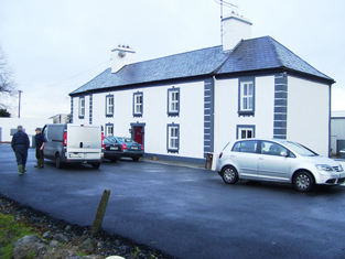
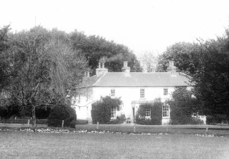
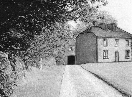
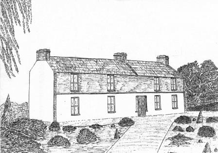
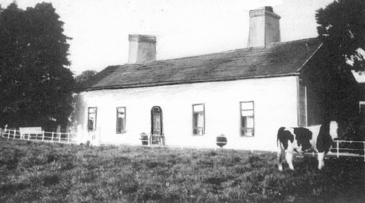
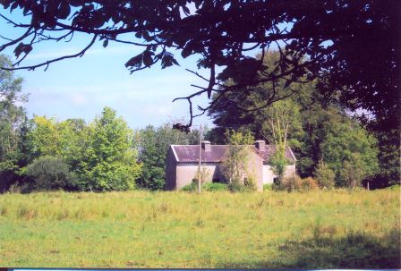
Castletown
Houses within 5km of this house
Displaying 8 houses.
Houses within 5km of Castletown
Displaying 8 houses.
| House name | Description | |
|---|---|---|
| Cappagh | Occupied by Dillon Hughes at the time of Griffith's Valuation, when it was valued at £11 10s. He was leasing the property from Alexander Beatty. The National Inventory of Architectural Heritage suggests that this is originally a seventeenth century house with later additions. It is still extant and well-maintained. |
|
| Wellfort | Marked on the first edition Ordnance Survey map as Wilfort House, this property was held in fee by Richard D'Arcy at the time of Griffith's Valuation when it was valued at £18. It is named as Wellfort House on the 25-inch Ordnance Survey map of the 1890s. Wellfort is no longer extant. |
|
| Fiddaun Lodge | In 1786 Wilson refers to Fidane as the seat of Mr. Kelly. Melvin writes that John Dennis, the famous huntsman, was born at Fiddaun in 1800. Charles O'Rorke was leasing it from the Redington estate in the mid 1850s when the house was valued at almost £5. A house still exists at the site. |
|
| Carrowleana House | At the time of Griffith's Valuation occupied by Andrew W. Irwin and valued at £15. The house has been demolished but the stables are still extant. | |
| Cloondoyle | In 1786, Wilson refers to "Clondowel" as the seat of Mr. Blake. At the time of Griffith's Valuation it was occupied by Thomas Kelly and held from [his father] Bartholomew Kelly. The house was valued at £8. It is labelled Clondoyle House on both the First and 25-inch editions of the Ordnance Survey map. A house still exists at the site. |
|
| Ashfield | At the time of Griffith's Valuation held by John Kelly in fee when the house was valued at £8. A building still exists at the site. | |
| Mount Kelly | A Kelly property in the mid 18th century, which passed to a branch of the Bellew family through marriage. The original house was known as Drum House but was in ruins by the 1820s. Mount Kelly was owned by John William Browne at the time of Griffith's Valuation. The 19th century house appears as Lakeview.on the 1st edition Ordnance Survey map but as Mount Kelly on the 25-inch edition of the 1890s. A house still exists at the site. |
|
| Cloonkeen Lodge (Kilkerrin) | Cloonkeen Lodge is shown on the 25-inch edition Ordnance Survey map of the 1890s. It occupies the site of an earlier settlement, Ballyphillipeen, shown on the 1st edition Ordnance Survey map. At the time of Griffith's Valuation this townland was held by William P. Cullen who held a house, valued at almost £5 in fee there. The building is still extant though not apparently in use. |
|