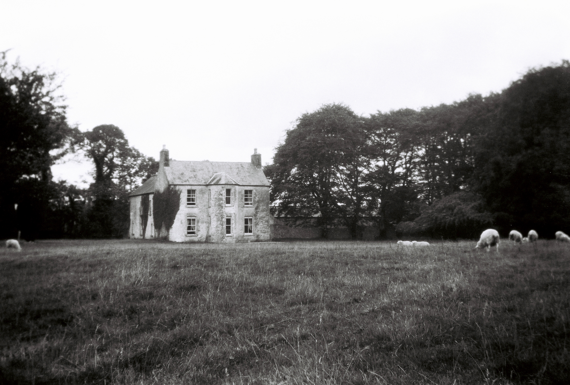
Sylaun
Houses within 5km of this house
Displaying 12 houses.
Houses within 5km of Sylaun
Displaying 12 houses.
| House name | Description | |
|---|---|---|
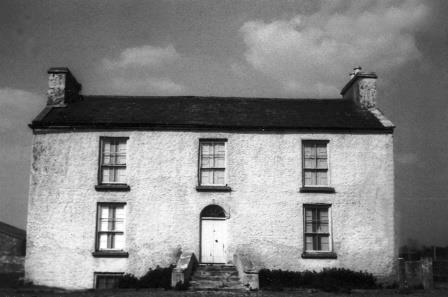
| Thomastown | At the time of Griffith's Valuation, Thomastown House, barony of Clare, was occupied by James Clarke and valued at over £10. The National Inventory of Architectural Heritage indicates that this is a two-phase house, the original part dating from the early eighteenth century. It is still extant and occupied. |
|
| Mossfort | A house labelled Caherakeeny is shown here on the First ediiton Ordnance Survey map. It was valued at £12 and occupied by John Kilkelly at the time of Griffith's Valuation. The present house was constructed in the late nineteenth century and is labelled Mossfort on the 25-inch Ordnance Survey map of the 1890s. |
|
| Castlehacket | Castlehacket takes its name from the Hackett family who owned the land in the 14th century. An early 18th century house was built by the Kirwan family and lived in by their descendants until 1985. Wilson mentions it as the seat of John Kirwan in 1786. It was held in fee by Denis Kirwan at the time of Griffith's Valuation when it was valued at £40. Referred to as the seat of Bernard Percy Broderick by Slater in 1894. The original house of 3 storeys was burnt in 1923 and rebuilt at the end of the 1920s as a 2 storey house. The house has had a number of owners in the past 20 years. |
|
| Carrowbeg House | A former Bodkin house, the home of the Lynch family in the second half of the 19th century and early part of the 20th century. It was held in fee by Dominick Lynch at the time of Griffith's Valuation when it was valued at £8. It is still extant and in use. |
|
| Newgarden | The home of Edward Burton, Rector of Annaghdown and Vicar General of Tuam in the latter part of the 18th century. Occupied by Mrs Smith in 1814, in the 1830s by Roderick O'Connor and in the 1850s by Richard Jennings. In the Ordnance Survey Name Books it is decribed as a pretty lodge, the residence of the proprietor Lieutenant Daniel Smith. A modern house and some old farm buildings are still visible at the site. |
|
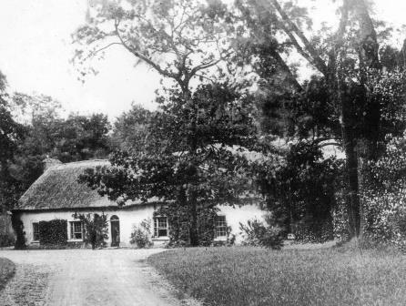
| Ironpool | A Jenings home, described as a "good thatched 2 -storey dwelling house" in 1852, occupied by George Jenings. It was held in fee by William Ogilvie at the time of Griffith's Valuation when it was valued at £6. It is now a ruin. |

|
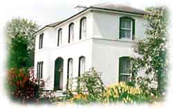
| Gardenfield | Home of a branch of the Kirwan family from the late 18th century to the mid 20th century. The original house was replaced by the present house circa 1870. Following the death of Edward Kirwan the estate was divided by the Land Commission in the 1950s. Gardenfield House is now a bed and breakfast. http://www.corrib.net/BedBC14.htm |
|
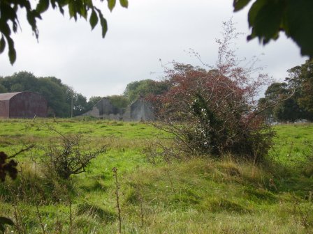
| Ballygaddy | Occupied by Kirwan esq in the 1770s and in 1786. It was the residence of Thomas Lally in 1814 and, from the 1830s, of John Daly, who held it from Nesbitt Kirwan. The house was valued at £5 at the time of Griffith's Valuation. The site is now occupied by farmbuildings. | |
| Cloonteen | At the time of Griffith's Valuation occupied by George Jennings when the house was valued at £7. Some ruins remain at the site. | |
| Wilford | Occupied by W. Lindsey in 1837. A roofless ruin now occupies the site. |
|
| Cloonmore | At the time of Griffith's Valuation the house was valued at £3 and was held in fee by Charles Grant.It is labelled Cloonmore on both the 1st and 25-inch edition Ordnance Survey maps but is no longer extant. | |
| Woodquay Lodge | At the time of Griffith's Valuation James Joyner was leasing this property from the O'Conor Donelan estate when it was valued at £3. It is labelled as Woodquay Lodge on both the 1st and 25-inch edition Ordnance Survey Maps. Modern buildings occupy the site now. |
|