Lavally
Houses within 5km of this house
Displaying 8 houses.
Houses within 5km of Lavally
Displaying 8 houses.
| House name | Description | |
|---|---|---|
| Moyveela Lodge | The original Moyveela Castle was the home of the Browne family before their move to Mount Hazel. In 1786, Wilson writes that Moyveela was the seat of Andrew Browne. At the time of Griffith's Valuation a large portion of the townland was part of the Vandeleur estate and was leased to James Kineen. He occupied a property which later became known as Moyveela Lodge which is still extant. Over 300 acres as well as two caretakers' houses were in the possession of Andrew Browne whose address in the 1870s is still given as Moyveela and Mount Hazel. | |
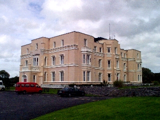
| Kilcornan | In 1814 Kilcornan House was the residence of T. & C. Redington. Later, in 1837, Lewis recorded it as the seat of T. Redington. At the time of Griffith's Valuation Thomas Redington was the owner of the property, then valued at £100. In 1894 Slater referred to it as the residence of C.T. Redington. In 1906 it was the property of Anne Redington. Kilcornan House is still standing and now forms part of the Brothers of Charity services complex located in the grounds. |
|
| Rahasane | In 1786 Wilson refers to Rahasane as the seat of Mr. French. Lewis records Rahasane as the seat of R.French in 1837. Held in fee by Thomas A. Joyce at the time of Griffith's Valuation when it was valued at £45. The Landed Estates court sale notice of June 1871 mentions that Rahasane House was built by Robert Joseph Ffrench at a cost of £10,000. This, the original Rahasane House , is described as " in ruins" on the 25-inch Ordnance Survey map of the 1890s. A later Rahasane House is shown on the 1933 ediiton of the six-inch Ordnance Survey map, located in Pollnagerragh West townland, (M474172). While there is no trace now of the original house built by R.J. French, some estate architecture survives. |
|
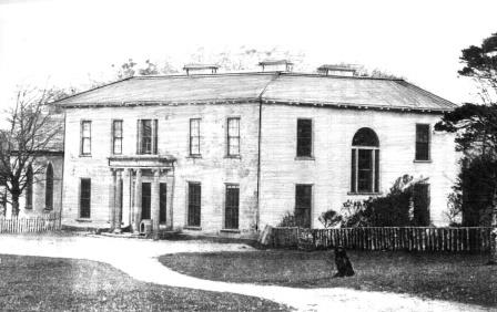
| Rockfield House | Melvin states that throughout the 18th and 19th centuries the house at Rockfield was occupied by Burkes, Brownes, Blakes and Concanons. At the time of Griffith's Valuation it was occupied by Patrick J. Blake and was valued at £26. In 1837 Lewis recorded it as the home of M. Browne. Wilson, writing in 1786, refers to it as the seat of Michael Browne. In 1906 it was owned by Richard A. Nugent when it was valued at £27. The Encumbered and Landed Estates Court sale notices give the impression that the house was sometimes known as Rockville. Though the house no longer survives the gate lodges are still occupied. |
|
| Stoneleigh | The house in Laghtphillip townland, part of the Lynch estate, was leased to James Stanley in 1855. In 1906 the house was owned by Hugh Greaney and was valued at almost £7. The house is still standing but derelict. A new house exists on the site and "Stoneleigh House" appears at the entrance gate. Writing in 1976, Kelly noted that the house was built by the Stanley family due to its salubrious site. |
|
| Willmount | Willmount House leased by Thomas Mahon from William Smith at the time of Griffith's Valuation when it was valued at £10. In the 1870s Henry Morgan, who owned over 200 acres in county Galway, was residing at Willmount. In 1906 it was the property of John McCoy. The original house appears not to have survived though there is evidence of a farm yard and walled garden close to Willmount Graveyard. Extensive modern farm buildings exist on the site. | |
| St. Michael's/ Moneyteige | The house at St. Michael's is described in the Landed Estates court notice in April 1885 as "a handsome modern residence which cost £2000 to build". At the time of Griffith's Valuation, Edmund Davies held the townland of Moneyteige including a house valued at £2. Writing in 1976, Kelly noted that the house was built by a doctor named Davis, who bought the townland from the Lamberts of Castle Ellen. Part of the building is now roofless. | |
| Carrigeen House | At the time of Griffith's Valuation, Carrigeen House was leased by John Connolly from the Joyce estate when it was valued at £5. It is labelled "in ruins" on the 25-inch map of the 1890s. |