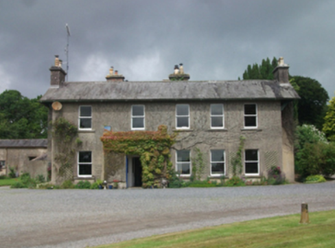
Gore Port [Derrymacegan]
Houses within 5km of this house
Displaying 10 houses.
Houses within 5km of Gore Port [Derrymacegan]
Displaying 10 houses.
| House name | Description | |
|---|---|---|
| Bracklagh | The house faced Bracklagh Lough, very close to the border between counties Cavan and Longford. It is marked on the first edition six inch Ordnance Survey map (publ. 1837). In the mid-19th century it was inhabited by Captain Mark Ker and held from the Ecclesiastical Commissioners. The rateable valuation was £15. Home of Matthew William Webb and family in 1901. A building is still extant on this site. | |
| The Cottage | This house is located close to Lough Sheelin and on the roadside. In the mid-19th century it was valued at £12, occupied by James Sneyd and held from Andrew Booth Bell. In 1906, the townland of Bellsgrove was in the occupation of Matthew William Webb and The Cottage had a rateable valuation of £7. It appears to be still extant. | |
| Kilnahard House | Described by the National Inventory of Architectural Heritage as a castellated country house built circa 1820. Kilnahard is situated on the shore of Lough Sheelin. In the mid-19th century it was occupied by Tuite Dalton, who held the property from Andrew Bell. The buildings had a rateable valuation of £18. This house is still a residence. | |
| Hollywell | Located on the Farnham estate and known as Tara Cottage on the first edition Ordnance Survey map (publ. 1837) and as Hollywell on the 25 inch map. An engraving in the National Library appears to be this house Hollywell Cottage and dates it to at least 1820, see https://catalogue.nli.ie/Record/vtls000152344. Occupied by the Reverend Henry Cottingham at the time of Griffith’s Valuation. Valued for rates at £14 the house was held from Mark Woods. The Reverend H. Cottingham held a townland in each of the parishes of Annagh and Urney at the time of Griffith’s Valuation. His representatives owned 381 acres in 1876. A building reduced in size continues to occupy this site. | |
| Summerville (Cavan) | Another house located on the west shore of Lough Sheelin. In 1814 James H. Cottingham was the proprietor of Summerville, Mount Nugent. The house was unoccupied at the time of Griffith’s Valuation but in the possession of William Webb. It was valued at £15.10.0. for rates. It was much reduced in size by the time the 25 inch map was compiled. A building still occupies the site. | |
| Bob's Grove/Farren Connell | The Nugent home known as Bob’s Grove dates from the mid-18th century. It was later known as Farren Connell possibly after alterations were made in the mid-19th century. In 1814, Oliver Nugent was resident at Bob’s Grove. In 1837, Lewis records Christopher E.J. Nugent as proprietor. At the time of Griffith’s Valuation Christopher’s representatives held the property in fee. It was valued at £24 for rates. Emily Nugent, a widow, was resident in 1901 and her son Colonel Oliver Nugent and his wife in 1911. Farren Connell continues to be the home of this family. |
|
| Annis Grove | This property was valued at almost £10 at the time of Griffiths Valuation in the early 1850s when it was leased by Patrick Lynch from the Gore estate. O'Brien states that it was occupied by the Lynch family from at least the early nineteenth until the last quarter of the twentieth century. He indicates that it was originally known as Money, from the townland in which it is situated. It is now a ruin. | |
| Tullystown | At the time of Griffiths Valuation in the early 1850s James McCullagh was leasing this property from the Duke of Buckingham’s estate when it was valued at £11. It was still in the McCullough family in 1906 with the same valuation. O'Brien records that Tullystown was damaged by fire in 2013 and gives an account of the various buildings that have existed at this site. |
|
| Carlanstown | At the time of Griffiths Valuation Wiilliam McCullogh was leasing this property from the Duke of Buckingham’s estate when it was valued at £13. It is located close to the site of Carlanstown Castle and labelled Carlanstown House on the 25-inch Ordnance survey map. O'Brien suggests it was built c,1830. Both he and the National Inventory of Architectural Heritage provide extensive details of its associations with older structures at the site and the connections with the Nugent family. Carlanstown is still extant and occupied. |

|
| Castletown Cottage | At the time of Griffiths Valuation this property was held in fee by Samuel Reynell when it was valued at almost £8. O'Brien suggests that the original property was built c.1840. The National Inventory of Architectural Heritage indicates it was extended in the mid C19. The Valuation Office books of 1841 noted a house valued at almost £7 in this townland, then occupied by James Campbell. The house is labelled Castletown Cottage on the 25-inch edition OS map of the early C20. It is still extant and in use. |
|