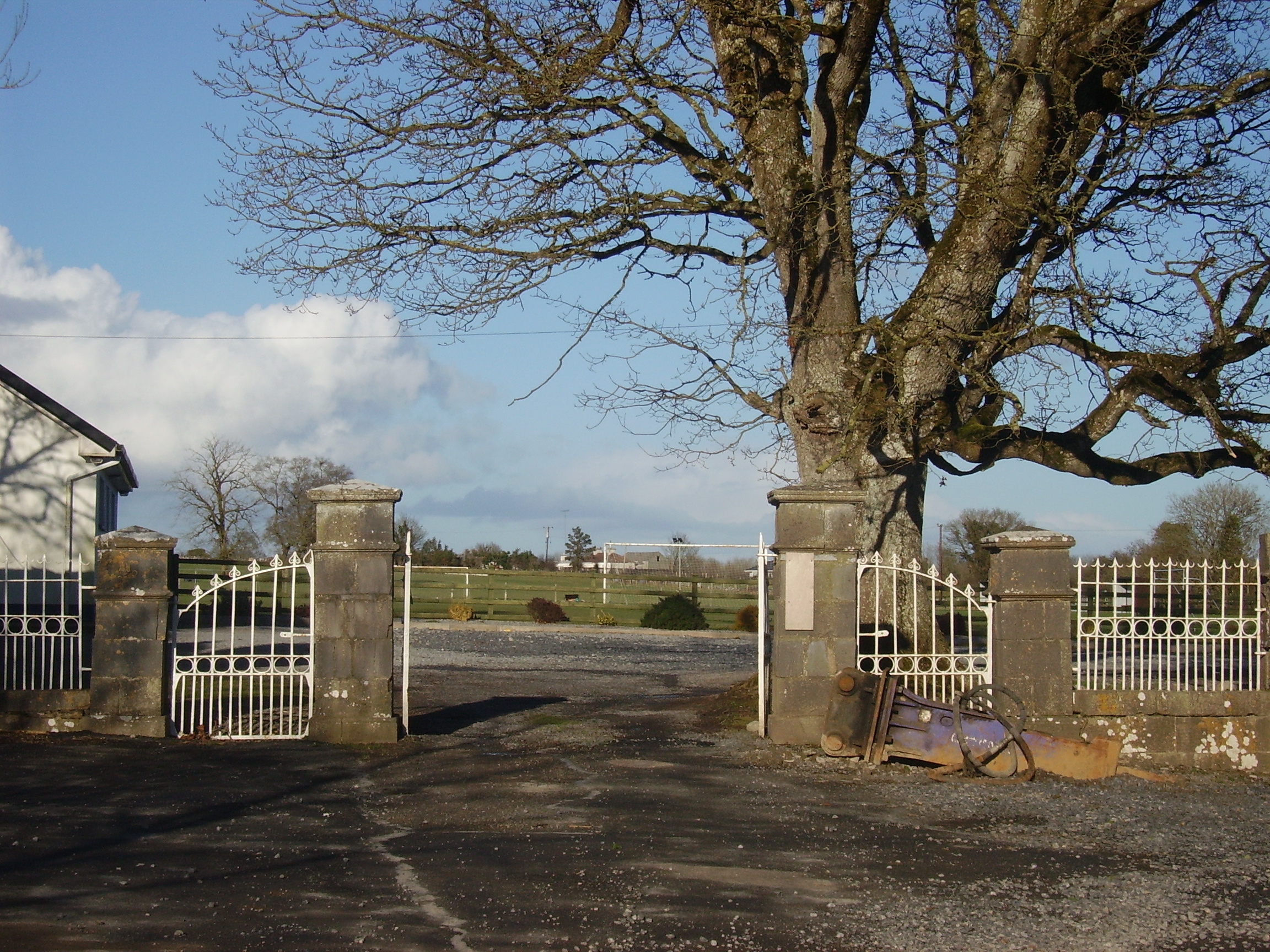
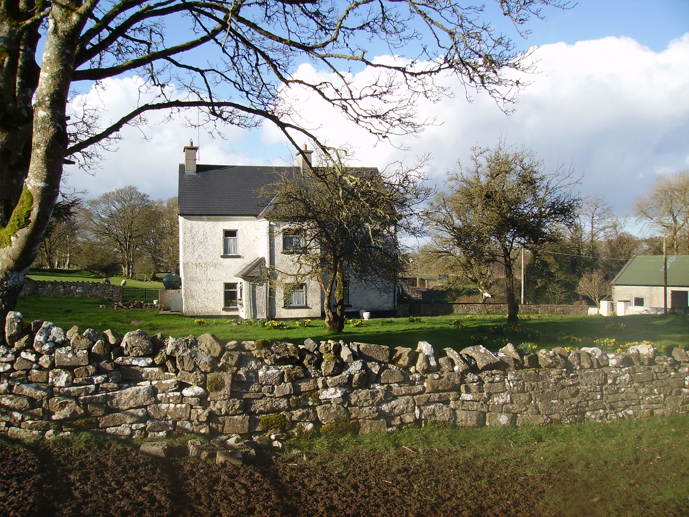
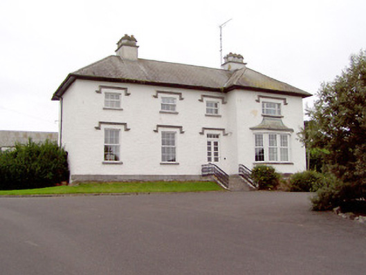
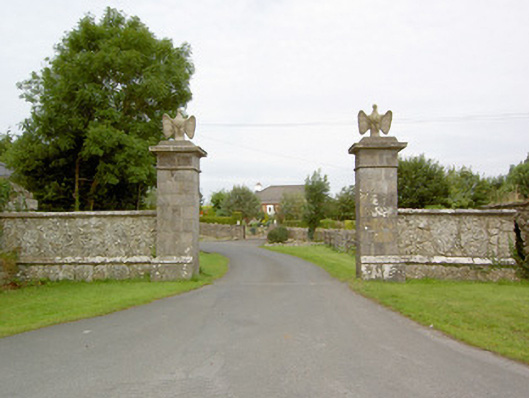
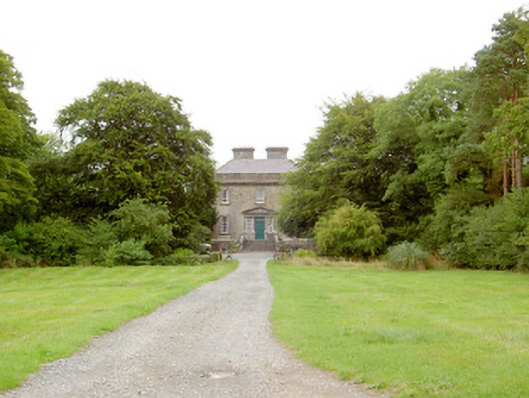
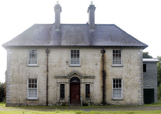
Newtown Parochial House
Houses within 10km of this house
Displaying 21 houses.
Houses within 10km of Newtown Parochial House
Displaying 21 houses.
| House name | Description | |
|---|---|---|
| Mountplunkett | Built in 1806 by George Plunkett and home of the Plunkett family until the mid 19th century when it became the property of Patrick Grehan. Described in the Crotty sale rental of 1851 as a 'superb mansion' repaired by Mr Crotty at a cost of upwards of £2,000. Grehan held the house, valued at £30, in fee, at the time of Griffith's Valuation. Samuel Richard Prosser lived in Mount Plunkett in the 1860s. The entrance gates are still in use but only walls remain of the house and outbuildings. Robert Adamson was apparently living at Mount Plunkett in the 1870s. |
|
| Kellybrook | Wilson records this house as a Kelly residence in 1786. The seat of Denis Kelly in the 1830s and of Jane Kelly in the 1850s who held the property from Esther Dillon and the representatives of Maria Boswell. The house was valued at £3. Still occupied by a family named Kelly. |
|
| Carrownure House | In the mid 1850s valued at £20 and owned by Richard Bond in fee, who advertised it for sale in 1856. Described as a modern edifice on the shore of Lough Ree. The sale rental includes a lithograph. Bought by Bernard William Bagot in 1858 from Edward John Irwin. Sold by the Bagots to Samuel Auchmuty in 1903. Owned by the Auchmutys in the 20th century and known as Carnure House. |

|
| Galeybeg | Occupied by Mr Bart Purdue in 1814 and in the 1830s described as a gent's seat belonging to Mr Bond with a neat demesne attached. The sale rental of 1856 states that it was built by the Reverend James Bond. In the 1850s held by Richard Bond in fee from the Court of Chancery and described as a herd's house with office. The home of Benjamin Greene in 1906. Occupied until the late 20th century, now derelict. |
|
| Johns Port | The residence of Maurice Hodson in 1814 and at the time of Griffith's Valuation held by John Hodson in fee. It is no longer extant. | |
| Johns Port House | At the time of Griffith's Valuation owned by Alexander Gunning in fee and valued at £10. Labelled Johnsport House on the 1st edition Ordnance Survey map and as St. John's House on the later 25-inch edition of the 1890s. It is still extant and offers guest accommodation. See www.stjohnshouse.biz. |

|
| Kilmore | Originally a Shaen property which passed by marriage to the Carters. A house and 4 acres were leased by Sir Arthur Shaen to William Hartly on 3 Aug 1706 (see sale rental 1855). In 1749, 1778 and 1786 it was occupied by the Waller family. The house was a ruin by the 1830s. | |
| Rathcline House | St. George Johnston was leasing this property from Colonel Henry White’s estate at the time of Griffiths Valuation in the early 1850s when it was valued at almost £38. Earlier, in 1837, Lewis referred to it as the seat of L. White. The National Built Heritage Service suggests the current house was built c.1820 though there is evidence to suggest there was an earlier house, also owned by the White family, at the site in the 1770s. Rathcline House served as a convent for the Sisters of Mercy in the mid-20th. It is still extant. |
|
| Cloonta | Nicholas McGaver held this property in fee at the time of Griffiths Valuation in the 1850s, when it was valued at almost £12. The Ordnance Survey Name Books describe the property as a 'good farmhouse with trees and plantations' in the 1830s. The 1906 Untenanted Demesnes survey record a valuation of almost £12 when it was owned by Patrick McGaver. It is now ruinous. | |
| Newpark House (Rathcline) | Luke Bushe Fox held a property in fee here at the time of Griffiths Valuation in the early 1850s, with a valuation of almost £3. The original property in Newpark townland is labelled Newpark House on the 6” OS map. It appears to have become ruinous later. By the end of the 19th century Cordara House had been constructed at a different site in the same townland. It has since been demolished though some estate buildings remain at the site. In 1837 Lewis had recorded Newpark House as the seat of a Captain W.J. Davys. | |
| Mosstown (Ballymahon) | At the time of Griffiths Valuation, in the 1850s, this property was leased by Arthur Kingston from the King-Harman estate. The property was valued at £30 with a mill valued at £50. Lewis referred to Mosstown as the seat of Arthur Kingston in 1837. Mosstown has been demolished but the ruins of the mill and some estate architecture remains. |
|
| Cormaglava House | William Lewis was leasing this property from William Montfort [Bond] at the time of Griffiths Valuation in the 1850s when it was valued at £12. The Ordnance Survey Name Books note that the townland was the property of Lady Rosse in the 1830s. A house is still extant at this site. | |
| Barnacor Mill | John Costello was leasing this property from Luke White’s estate at the time of Griffiths Valuation, when it was valued at £28. Some buildings still remain at the site. | |
| Ledwithstown House | In 1837 Lewis referred to Ledwithstown House as the seat of W. Ledwith. Leet's Directory referred to it as the residence of Richard Dillon in 1814. By the time of Griffiths Valuation in the 1850s, it was held in fee by Edward Ledwith and valued at £15. The National Built Heritage Service suggests it was built c.1745 and was possibly designed by Richard Castle. It is still extant. In the 20th century it had become derelict but has been refurbished |
|
| Ballyorney House | Ballyorney House is labelled on the 25-inch Ordnance Survey map of the early 20th century. At the time of Griffiths Valuation in the early 1850s, the house at this site was leased by John Boswell from Thomas Dennehy’s estate and was valued at £4. The National Built Heritage Service suggests the house at the site now was built in the 1880s. It is extant but derelict. |
|
| Cordara House | By the end of the 19th century Cordara House had been constructed at a different site in Newpark townland. It has since been demolished though some estate buildings remain at the site. |
|
| Laurel Lodge (Shrule) | Thomas Hussey was occupying this property at the time of Griffiths Valuation in the 1850s, when it was valued at just over £10. In 1838 the original Valuation Office books noted the occupant as Edward Nugent. The Ordnance Survey name books of the mid 1830s state that the townland was part of the Ledwith estate. The house is not named on the 1st edition OS map but is labelled Laurel Lodge on the 25” map of the early 20th century. It is now a ruin. | |
| Castlecore/Castlecor House (Ballymahon) | The National Built Heritage Service suggests that the original building at Castlecore was built as a hunting lodge in the mid 18th century by a member of the Harman family from Newcastle House. It underwent several changes and additions during the 19th century. Between the 1830s and the 1850s it was in the hands of Thomas Hussey and at the time of Griffiths Valuation, it was valued at £10. Hussey advertised it for sale in the Encumbered Estates Court in 1855, when it was described as 'of a peculiarly convenient construction, built about 50 years at a cost of £4000'. The 'Freeman's Journal' reported that it was sold for over £6000. By the 1870s it was the seat of John Bond. In 1906 Castlecore was owned by Emily C. Clarke and valued at £44 10s. It is named as Castlecor House on the 1st edition Ordnance Survey map but as Castlecore House on the later 25-inch edition. It is still extant. |
|
| Drumnacor House | At the time of Griffiths Valuation in the 1850s, John Bond held this property in fee when it was valued at £15. In 1837 Lewis had recorded Drumnacor as the residence of W. Sandys. In 1906 it was owned by John Bond’s representatives. The site is now occupied by a farmyard. | |
| Grillagh House | Edward Trelford was leasing a house and associated mill from Henry Montford Bond at Grillagh, in the parish of Killashee at the time of Griffiths Valuation, when it was valued at £10. The property is labelled Grillagh House on the 25-inch Ordnance Survey map of the early 20th century. The mill buildings, though derelict, are still extant. |
|
| Littletown House [Lodge] | William Magill was leasing this property from Joseph Manly at the time of Griffiths Valuation in the early 1850s when it was valued at almost £14. On the 1st edition Ordnance Survey map it appears to be located within the townland of Doonis but on the 25-inch edition of the early 20th century it seems to be within the townland of Cartroncroy. The house is labelled Littletown Lodge on the 1st edition map but as Littletown House on the 25-inch edition. It survived into the twentieth century but is no longer extant. In 1837 Lewis referred to Littleton Lodge as the seat of W. Lennox Napier. Another Littletown House is shown on the 1st edition Ordnance Survey map in the adjacent townland of Littletown [N096519] but this is described as 'in ruins' on the later map. William Magill of Littleton, Ballymahon was recorded as the owner of over 350 acres in County Longford in the 1870s. |