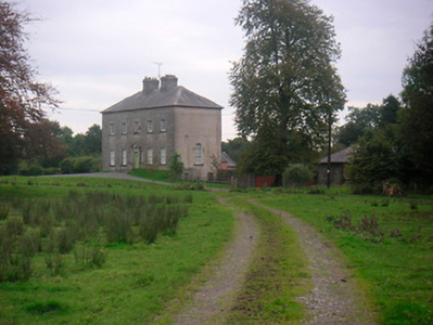
Cooksborough House
Houses within 5km of this house
Displaying 7 houses.
Houses within 5km of Cooksborough House
Displaying 7 houses.
| House name | Description | |
|---|---|---|
| Huntingdon | Huntingdon, a five-bay two-storey over basement country house, built about 1770 by the Purdon family, it remained a Purdon home for all of the 19th century. Robert Purdon was resident in 1814 and 1837. Augustus Cooke Purdon held the house from Robert Purdon at the time of Griffith’s Valuation (publ. 1854), when it was valued at £20. Purdon family members were still resident in the early decades of the 20th century and the house remains extant. |
|
| Woodfort | Woodfort, named on the first edition OS map, situated in a small demesne. This was a five-bay two-storey house built about 1800 and altered in the mid-19th century. At the time of Griffith’s Valuation (publ. 1854) it was occupied by Edmond R Nugent, held from the Earl of Longford and valued at £10. Now part of an extensive business complex. |
|
| Clonlost | Clonlost house is shown amidst a large demesne on the first OS map. The Nugent family were settled at Clonlost from the 17th century. The house was a two-storey, five-bay, late 18th century building (O’Brien). In 1814 it was the home of Lt Col Nugent. Lewis records it as the ‘ancient family seat of J Nugent’. At the time of Griffith’s Valuation (publ. 1854) Captain John J Nugent held it in fee when the house was valued at £40 and he owned an estate of over 3,000 acres in the 1870s. His daughter married William Lamb Palmer of Rahan, Co Kildare and it was their son Charles Colley Palmer who inherited Clonlost. Members of the Palmer family were still resident in the early years of the 20th century. The house is now a ruin. | |
| Killynan House | Killynan House was located on the border between the two Killynan townlands of Pratt and Cooke. It was the home of the Reynell family who held it from the Winter family. Reverend Edward Reynell is recorded on the Taylor and Skinner maps of the late 1770s and was resident until his death in 1788. He was succeeded by his son Richard who occupied the house in 1814 and 1837. Richard was later succeeded by his son, Richard Winter Reynell, who died in 1887. The Reynells were related to the Winter family. This house is now demolished but outbuildings survive. |
|
| Clondrisse House | Clondrisse House, a small building marked on the first edition OS map and named on the 25 inch map. A small two-bay two-storey over basement house built about 1800 and extended in the late 19th century. O’Brien writes that it was the home of Myles O’Reilly in the first two decades of the 19th century. Rev Francis Winter, vicar of the nearby St. John the Baptist's Church of Ireland church was the occupant in the 1840s while Rodney Purdon was resident at the time of Griffith’s Valuation (publ. 1854), holding the house valued at £16, from Samuel Winter. Home of Major John Purdon retired in 1911. |
|
| Rathconnell Court | Rathconnell Court is named on the first edition OS map and marked as ruins on the 25 inch map of the early 20th century. It was the home of the Adams family and was marked on the Taylor and Skinner maps of the 1770s. Occupied by Francis Adams in the early 19th century and by J Adams in 1837. Francis Adams was resident at the time of Griffith’s Valuation (publ. 1854) holding the house valued at £18 in fee. | |
| Sheepstown House | Sheepstown house is named on the early 20th century 25 inch OS map. At the time of Griffith’s Valuation (publ. 1854) it was occupied by James Seery, valued at £15 and held from the representatives of Robert M Tighe. The Seery family were still resident at the beginning of the 20th century. This house is extant. |