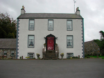
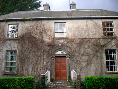
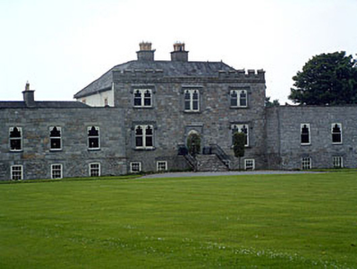
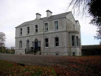
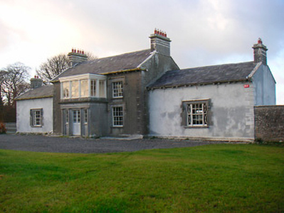
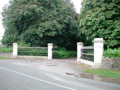
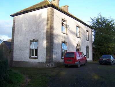
Redmondstown
Houses within 5km of this house
Displaying 9 houses.
Houses within 5km of Redmondstown
Displaying 9 houses.
| House name | Description | |
|---|---|---|
| Jamestown House | Jamestown House was not built at the time of the first edition OS map. Situated on the main Mullingar to Athlone road the house, three-bay two-storey over basement house, was occupied by James Brabazon at the time of Griffith’s Valuation (publ. 1854) when the building was valued at £12 and held from Walter McK Bond. |
|
| Glenown/Clonown | Clonown is named on the first edition OS map. It is a three-bay two-storey over basement house, built c.1815 now known as Glenown (boi). At the time of Griffith’s Valuation (publ. 1854) Richard Fitzgerald was resident, holding the house valued at £18 in fee. In the mid-1870s his son Captain James is recorded at Clonown. |
|
| Jamestown Court | Jamestown Court is located to the north west of Castle Geoghegan. It is a three-bay two-storey over basement country house with six-bay single-storey over basement wings to either side (boi). It was originally built in 1740, the date is inscribed on a window opening but was substantially altered at a later date which may be why Lewis records it in 1837 as a ‘spacious and handsome castellated mansion of modern erection’. This house was the home of the Nagle family and the property was originally in the ownership of the McGeoghegan family who were direct ancestors of the Nagles. From the late 18th century Jamestown Court was the home of Sir Richard Nagle, Baronet. He also had connections with Donore Castle, near Horseleap, which he ‘restored’ in 1809. Jamestown Court was later the seat of Sir Richard Neagle (Nagle) Geoghegan 2nd Bt in 1846 (Slater’s Directory). Following his death in 1850 it was inherited by his sister Frances Mary who was married to John Grace of Mantua House, Co Roscommon. At the time of Griffith’s Valuation (publ. 1854) the house was valued at £13, occupied by John Lynam who held the property from John Ennis with 156 acres. The rest of the townland was held by John Grace. In 1901 and 1911 occupied by Lt Colonel Gilbert Lavillan Nugent and family. For sale in 2012 and bought in 2013. |
|
| Charleville/Lunestown House | This building was named Charleville House on the first edition OS map and Lunestown House on the 25 inch map. A late 18th century five-bay two-storey over basement country house, built 1790 (keystone) and altered c. 1830 and c.1890. Charles Kelly built the house and its first name was derived from his Christian name. He was the occupant in 1814. In 1837 Lewis recorded Charleville as the seat of C Kelly and in the mid-19th century John Hubert Kelly held the house valued at £22 from William H Magan MP. Martin Charles Kelly JP and his wife Emily were resident in 1901 and 1911. |
|
| Togherstown | Togherstown House, named The Lodge on the first edition OS map with a small demesne. This is a three-bay two-storey over basement house, built before 1837 possibly incorporating the remains of an earlier house c.1700 built by Thomas Magan, High Sheriff of Co Westmeath. By 1837 Togherstown House was in the occupation of William Thomas Dillon (d. 1870). It was valued at £22 at the time of Griffith’s Valuation (publ. 1854), William T Dillon holding it from William H Magan MP. William Thomas Dillon was the son of Thomas Dillon of Lung, county Mayo and was married to Teresa daughter of Edmund Count Nugent of Ballinacor, county Westmeath. Margaret Treddin, widow and caretaker, and her family were resident in 1901 and 1911 holding the property from Julia Dillon of Dublin. The house was restored in the 21st century. |
|
| Barrettstown | Barrettstown House was not built at the time of the first edition OS map (c. 1837). It is located just south of the railway line. At the time of Griffith’s Valuation (publ. 1854) it was valued at £22 and occupied by Thomas Murray who held the property from John Savage Nugent. Still occupied by the Murray family in 1911, this house is extant. |
|
| Killare House | Killare House is named on the first edition OS map, it is now a green field site as O'Brien notes it is long demolished. Valued at £12 at the time of Griffith’s Valuation (publ. 1854) it was occupied by Robert Matthews and held from Reverend Dean Pakenham. | |
| Ballyhast House | Ballyhast House is named on the first edition OS map and the 25 inch map. At the time of Griffith’s Valuation (publ. 1854) it was valued at £12, occupied by Rose Colgan and held from Alicia O’Connor Malone (in Chancery). Eugene Charles Dennis Colgan, farmer, was resident in 1901 and also in 1911 when his wife and family are recorded in the census. There is a building still at the site, the centre of a stud farm. | |
| Rockfield | Rockfield is named on the first edition OS map, this three-bay two-storey house was built c.1785. For sale in 1853 when the 'mansion house' was not in full repair. Mark Colgan was the tenant. It was held on a lease from Nicholas and Francis Evans. At the time of Griffith’s Valuation (publ. 1854) it was occupied by Marcus Colgan and held from John Elliott. It was valued at £13. Joseph Clavin, farmer and his family were the occupants in the early 20th century. This house is till part of a farm complex. |
|