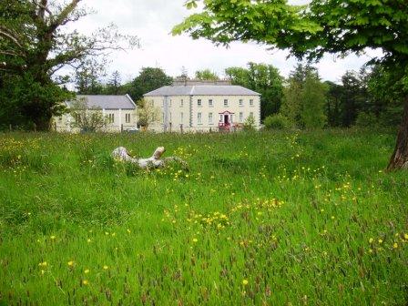
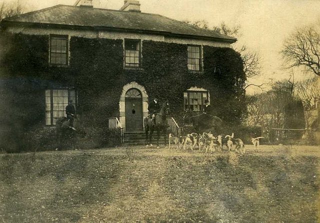
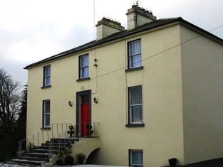
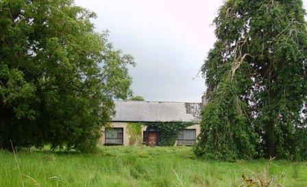
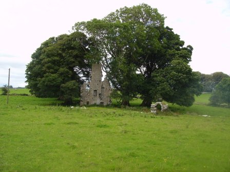
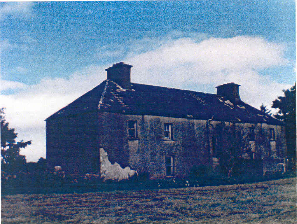
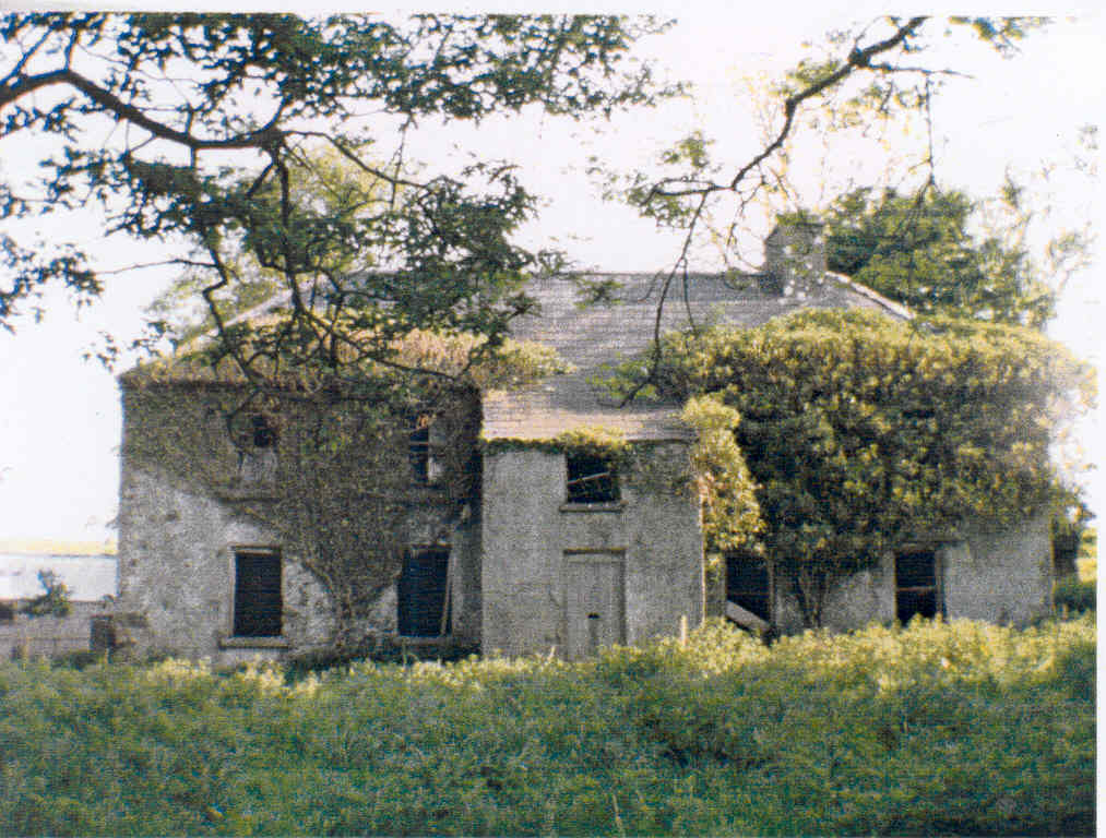
Curraghleagh Lodge
Houses within 10km of this house
Displaying 21 houses.
Houses within 10km of Curraghleagh Lodge
Displaying 21 houses.
| House name | Description | |
|---|---|---|
| Athavallie | The house at Moat was the main residence of the Lynch Blosses in the 18th and the early 19th century. In 1786 Wilson refers to Moat, the seat of Sir Henry L. Blosse. A fire destroyed the original house in 1808. It was rebuilt and is marked on the first Ordnance Survey map as Attavally. The Lynch Blosse family were absentee landlords for most of the 19th century. In 1894 the house was recorded as the seat of Sir Henry Lynch-Blosse. Later the house became a community school run by the St Louis nuns. It is now known as Balla Secondary Schoool. |

|
| Lagaturrin | The house at Lagaturrin was valued at £6 at the time of Griffith's Valuation, when it was occupied by William Fitzmaurice. William R. Falkiner lived here in the early 1860s. It is no longer extant. | |
| Eden Park | Occupied by Joseph Brown at the time of Griffith's Valuation, when the property was valued at £3. Brown was leasing from Francis O'Malley. Mulloy writes that nothing remains of the house. | |
| Thornhill | Home of Charles Burke Jordan in the 19th century. At the time of Griffith's Valuation, he was leasing this property to James Jordan when it was valued at £5. The building labelled Thornhill on the 1st edition Ordnance Survey map is not the same as that on the later 25-inch edition published in the 1890s. The latter is no longer extant but some buildings remain at the original site. | |
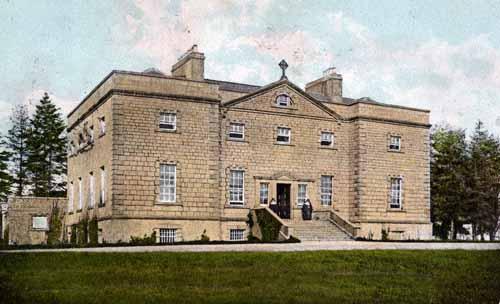
| Ballinamore | This house was the home of the Ormsby family in the 18th and 19th centuries. It was held in fee by Anthony Ormsby at the time of Griffith's Valuation, when it was valued at £40. In 1786 Wilson refers to it as " the beautiful seat of Thomas Ormsby". In 1938 the Ormsbys sold Ballinamore to a Scottish order of nuns, the Order of St John, who used the house as a school. The building was donated to Western Care in the 1970s. It now functions as a nursing home. |
|
| Oxford | The home of members of the Joyce family in the late 18th and early 19th centuries, later held by the Tuohys in fee. In 1786 Wilson refers to it as the seat of "Mr. Joice". The house and over 740 acres held in fee by Martin Joyes were advertised for sale in the ''The Telegraph'' [Connaught Telegraph] of 13 July 1831. The original house is now a ruin. |
|
| Ballyhowly | A Ruttledge family home in the 19th century, there is a lithograph of the house included in the sales advertisement of the Oranmore and Browne estate 1854. At the time of Griffith's Valuation, William Rutledge was leasing the property, valued at £10, from John Nolan Ferrall. Wilson describes it as "a country seat belonging to Henry Browne" in 1786. This house now offers farmhouse accommodation to guests. |
|
| Streamstown | William Coghlan was living at Streamstown, near Claremorris, in 1814. In the 1830s the townland is noted as belonging to Mr. Gonne Bell of Farmhill, Claremorris. By the time of Griffith's Valuation there is no house with a significant valuation in the townland. | |
| Claremount | Built in the 18th century, this house was the home of George Browne, third son of the 1st Earl of Altamont, in the 1760s. His daughter and heiress married Dominick Browne of Castlemagarret and ownership of Claremount appears to have passed to the Castlemagarret Brownes. The Kirwans and Denis Browne of Westport lived in the house in the late 18th and early 19th centuries. It was bought by Murray McGregor Blacker from Lord Oranmore and Browne in 1858 for £4,250. Blacker owned the house until 1874. In 1877 the house and about 313 acres were sold to the local parish priest by Thomas D. Maguire for the purpose of establishing a Convent of Mercy. The nuns ran a girls' secondary school in the house. In October 1906 just over 300 acres of Claremount was vested in the Congested Districts' Board. |
|
| Brees/Brize | The original castle was the home of the Moore family in the 17th century. A house was later built which was the home of the Coghlan family in the early 19th century and was occupied by John and Mathew Anderson at the time of Griffith's Valuation, see http://familyhistory.oram.ca/burrishoole/?page_id=1345 . A house is still extant at this site. |
|
| Cloonboy House | The home of John Coghlan at the time of Griffith's Valuation, held from the Lynch Blosse estate when the house was valued at £10. It is still extant. | |
| Cappagh | Cappagh was occupied by James Tighe at the time of Griffith's Valuation when the house, valued at £4, is described as a herd's house. It was built some time before the publication of the 1st edition Ordnance Survey map of 1838 and is still extant and well-maintained. |
|
| Millbrook House | There is a lithograph of this house attached to the sales rental of Lord Oranmore and Browne's estate in 1854. The sale rental states that the late tenant [Lawrence Glynn] recently expended a large sum in building a residence on this lot. This later building is labelled Millbrook House on the 25-inch Ordnance Survey map of the 1890s. It is no longer extant. | |
| Coarsefield | The Grays were in possession of Coarsefield by the late 1830s. The present house was probably built by the Tighe family who bought Coarsefield from the Grays and sold it to the Stephens family in the early 20th century. |
|
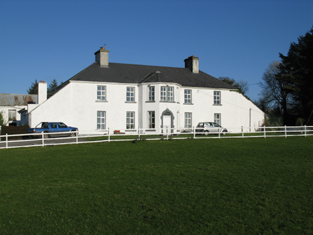
| Brookhill | Brookhill was situated on church land held by the Gonnes, who leased the house to the Kirwans in the late 1770s. Occupied by the Lambert family from the 1790s to the 1940s when it was sold to Gerald Maguire, a solicitor in Claremorris. Now the home of the Noone family. |
|
| Ballygowan Cottage | A Prendergast home in the 19th century, now in an advanced state of disrepair. The property was held in fee by Richard Prendergast at the time of Griffith's Valuation when it was valued at almost £10. |
|
| Castlegar | Occupied by Ignatius Kelly in 1814, by William T. Kelly at the time of Griffith's Valuation and by Edward Dale in 1906. In the 20th century it became a boys' secondary school. There is a lithograph of the house in the sale rental for Castlemagarret in the Public Record Office of Northern Ireland. | |
| Oory/Coarsefield | It is probable that the townland of Coarsefield was part of Oory in the 18th century and that Oory was divided into two townlands at the time of the first Ordnance Survey. The remains of an old house are still visible at Coarsefield, close to the present house, and it is believed that this was Oory House, home of the Bourkes and later owned by the Nettervilles. In 1814 "Course-field" belonged to James Netterville. The sales rental of the Gray estate of Coarsefield in 1861 refers to one wall remaining of the old Netterville house. |
|
| Rockfield | Marked on the first edition Ordnance Survey map, this house was occupied by Henry French at the time of Griffith's Valution and was described as a herd's house. It was valued at £4 and was located on the estate of Lord Oranmore and Browne. Now derelict it was last occupied by the Dillon family. |
|
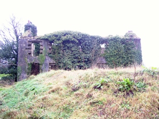
| Rockstown | Marked on the first edition Ordnance Survey map this house was occupied by William Nally at the time of Griffith's Valuation and held from the Lynch Blosses. The National Inventory of Architectural Heritage notes its connections with P.W. Nally, a member of the Irish Republican Brotherhood and a well-known late nineteenth century athlete influential in the founding of the Gaelic Athletic Association. The house is now a ruin. |
|
| Cloontreston | The notice advertising the sale of Michael Francis Treston's property at Cloontooa, barony of Clanmorris states that "the dwelling house with the offices, garden and demesne, known as Cloontreston, is in fair order and condition, suitable as a residence for a gentleman". At the time of Griffith's Valuation the townland was owned by John Treston who also held a herd's house there. The house is labelled Cloontreston on twentieth century maps. Buildings are still extant at the site. |