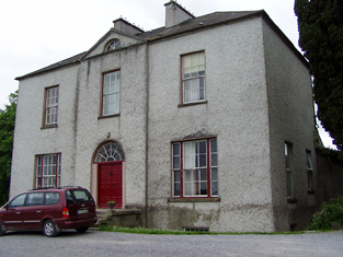
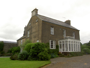
Noan
Houses within 5km of this house
Displaying 11 houses.
Houses within 5km of Noan
Displaying 11 houses.
| House name | Description | |
|---|---|---|
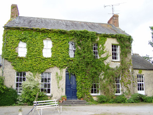
| Helen Park | Oliver Latham was residing at Helen Park in 1814 and in the mid 19th century Reverend Martin Laffan, Parish Priest of Killenaule, was the occupant. He held the property from Patrick Waldron and the buildings were valued at £22.15 shillings. Helen Park is listed as one of the residences of Lawrence Waldron in the 1870s. Still extant and occupied. |
|
| Cleragh House | William Power was living at Cleragh, Killenaule in 1814 and Charles Blackmore was resident in the mid 19th century. Blackmore held the house valued at £13 from Patrick Waldron with 257 acres. This house is still in use as a country residence. |
|
| Knockanglass | This house was the home of James Riall in the early 1850, who held the property from K.Pennefather. The buildings were valued at £18.15 shillings. The National Inventory of Architectural Heritage states that this house was associated with the Langley family and was sold to the O'Dwyers in 1912. It was occupied by Adelaide Langley in 1906. It still functions as a residence. |
|
| Moglass House | Moglass valued at £11 was held by John Riall from George Riall at the time of Griffith's Valuation. It is described as "in ruins" on the 25-inch Ordnance Survey map of the 1890s. | |
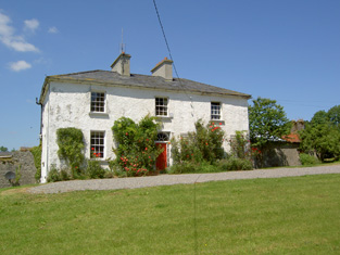
| Silverfort | Silverfort was the home of a branch of the Scully family throughout the 19th century. Jeremiah Scully was resident in 1814, in 1837 and in the early 1850s when he held the house valued at £18.10 shillings from George Carlton. Jerome J. Scully was tenant in November 1857 and still resident in the mid 1870s. This house is still in use as a country home. |
|
| Rathclogh Cottage | A small residence when marked on the first Ordnance Survey map. Occupied by Charles Minchin in 1850, valued at £13+ and held from John Millett. | |
| Grallagh Castle | In 1840 the Ordnance Survey Name Books refer to Mr. Hodgins as resident at Grallagh House. Southery Mansergh occupied the house,valued at £14+ in the mid 19th century. He held this property from O'Connor Hinchy. It is labelled Grallagh House on the 1st Edition Ordnance Survey map but as Grallagh Castle on the 25-inch map of the 1890s. It is no longer extant. | |
| Beechmount | John Godfrey was the occupant of Beechmount, Fethard, in 1814 but by 1837 T. G. [Thomas Godfrey] Phillips was resident. He held the property from the Massys and in the early 1850s the buildings were valued at £18.12 shillings. The representatives of Samuel Phillips were still resident here in the 1870s. The house is still a residence. |
|
| Clonbrogan | An early 18th century house built by Solomon Watson, the residence of M. Watson in 1814. By the time of Griffith's Valuation John Murphy was the occupier holding the house from Jeremiah Scully. It was valued at £5.14 shillings. This house is still a residence. |
|
| Springhill | Occupied by Dr Samuel Hemphill and held by Samuel Hemphill Esq in fee at the time of Griffith's Valuation when the house was valued at £5.15 shillings. |
|
| Woodhouse (Middlethird) | In 1841 the Ordnance Survey Name Books refer to Woodhouse, a gentleman's house, the proprietor being Basil Bryan. By the time of Griffith's Valuation, a property at Woodhouse was occupied by Timothy Connolly, who was leasing it from Richard Price. It was valued at £10+. Woodhouse is labelled "in ruins" on the 25-inch edition Ordnance Survey Map of the 1890s. |