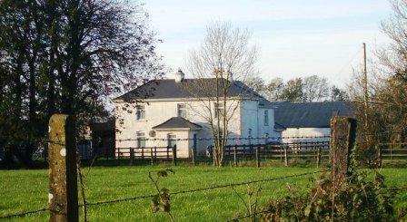
Fort Browne
Houses within 5km of this house
Displaying 4 houses.
Houses within 5km of Fort Browne
Displaying 4 houses.
| House name | Description | |
|---|---|---|
| Elmhill | Occupied by Edward Rochfort in 1814. By the time of Griffith's Valuation there was no house with a valuation of more than £1.18 shillings in the townland. The 25-inch map of the 1890s shows a later building called Elmhill House slightly north of the original building. There is still an extant house at the site. |
|
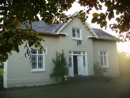
| Moat Lodge | Built by the Digby family in the mid 19th century. Home of the Gilmores in the mid 20th century and now of Mr and Mrs Jarlath Donnellon. In the Blake of Ballyglunin Papers Thomas Murphy in a letter to Martin J. Blake dated 1837, refers to his involvement in the building of a house at Moate for Mr Digby, National Archives M6936/38/29. |
|
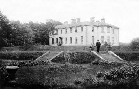
| Clonbern Park | A house built after the publication of the 1st edition Ordnance Map. The property in this townland was held by Charles O'Rorke at the time of Griffith's Valuation when it was valued at almost £8. Clonbern Park no longer exists but the stable block and walled garden are still evident on the site. |
|
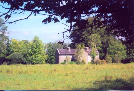
| Cloonkeen Lodge (Kilkerrin) | Cloonkeen Lodge is shown on the 25-inch edition Ordnance Survey map of the 1890s. It occupies the site of an earlier settlement, Ballyphillipeen, shown on the 1st edition Ordnance Survey map. At the time of Griffith's Valuation this townland was held by William P. Cullen who held a house, valued at almost £5 in fee there. The building is still extant though not apparently in use. |
|