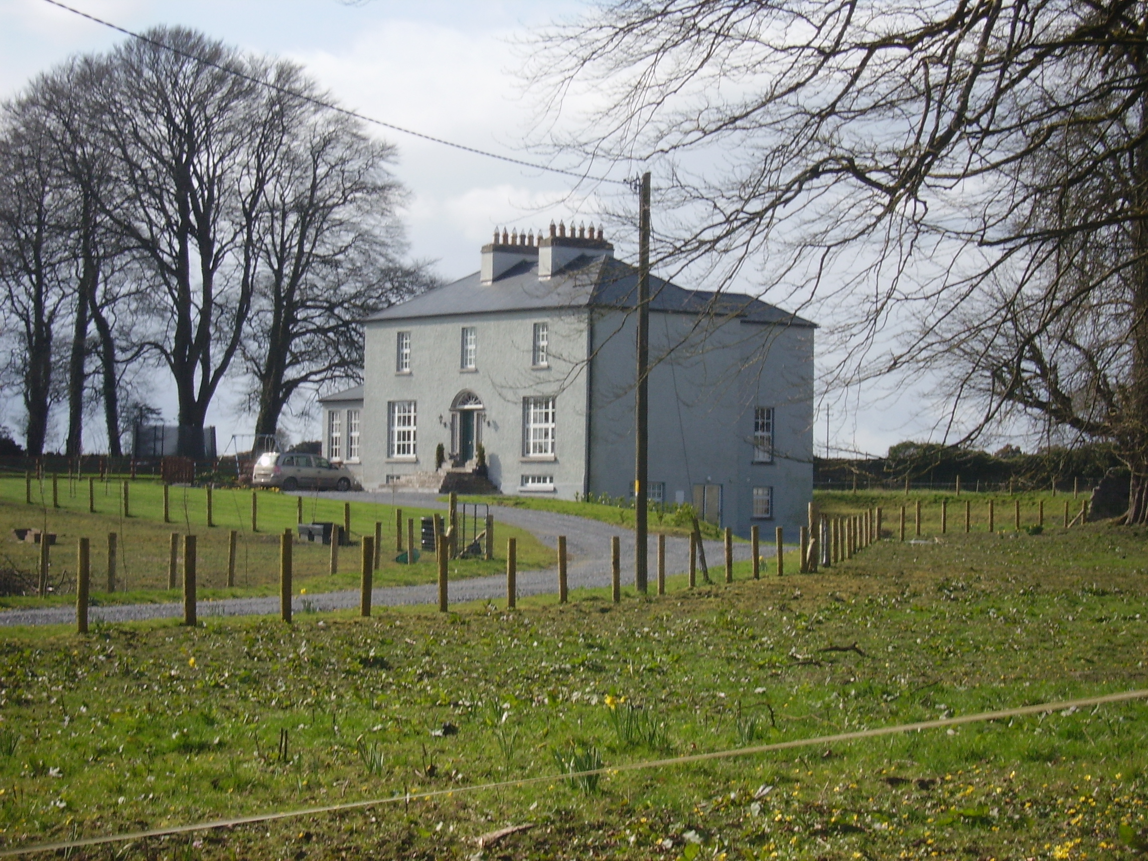
Cloverfield
Houses within 5km of this house
Displaying 12 houses.
Houses within 5km of Cloverfield
Displaying 12 houses.
| House name | Description | |
|---|---|---|
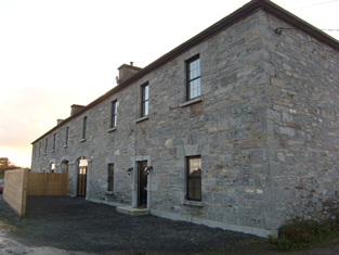
| Vermount | Also known as Munine or Moneen, the house was described as 'in ruins' on the Ordnance Survey 6 inch map (1932), following its burning in 1923. Extensive outbuildings are still in use and part of the yard is now a residence. McHale writes that this was, in fact, the original house. The National Inventory of Architectural Heritage suggests that the family occupied this building while Vermont House was being constructed. In 1786, Wilson refers to a house called "Munnine" as a seat of Mr. French. |
|
| Mounthazel | Occupied by Catherine Mahon at the time of Griffith's Valuation when the house was valued at £45. Mounthazel may be the property referred to by Wilson in 1786 as Bunrea, the seat of Mr. Davies. Demolished in 1945 though traces of the walled garden remain. |

|
| Carrownacregg West | Originally a Concannon house, sold to the Brownes in 1851 when it was in need of repair and to the Hughes family in the early 20th century. The original house is no longer extant. |
|
| Waterloo House | In 1786, Wilson refers to a house in this area as Fair-Hill, the seat of Mr. French. Waterloo was the home of the Concannons from the 1820s to the early 20th century. It was held in fee by Edmund Concannon at the time of Griffith's Valuation, when it was valued at over £20. It is still extant and occupied. |
|
| Cruise Lawn | Held by William Cruise from James Galbraith at the time of Griffith's Valuation when the house was valued at £5. It is named Cruice Lawn on the 25-inch Ordnance Survey map of the 1890s. Cruice Lawn is now a ruin. | |
| Corgary or Corgerry | The house known as Corgary was part of the Joyce estate. At the time of Griffith's Valuation, it was occupied by Eleanor Morgan, leasing from Walter Joyce, and valued at £30. It was shown on the 25-inch Ordnance Survey map of the 1890s but labelled "in ruins" on the 6-inch map of 1932. | |
| Lakeview | Built by the Carr family and occupied by Michael Carr at the time of Griffith's Valuation when the house was valued at £13. A house is shown though not labelled on the 1st edition Ordnance Survey Map. It is named as Lakeview House on the 25-inch edition of the 1890s. Lakeview is still extant. |
|
| Mountbellew | A three storey house built in the 18th century. In 1786 Wilson refers to it as the seat of Michael Belew. Extensively renovated in the mid 19th century and valued at £80 at the time of Griffith's Valuation. It was demolished in the late 1930s. |

|
| Moyloughmore | The O'Rorkes lived in the rectory at Moylough. At the time of Griffith's Valuation, Reverend John O'Rorke was leasing a property valued at £11 from Charles O'Rorke. The rectory is still extant. |
|
| Castle Bellew | Occupied by Peter Geraghty in the mid 1850s when it was valued at almost £9, this house is labelled as Castle Bellew House on the 25-inch Ordnance Survey map of the 1890s. It is no longer extant with some ruins remaining at the site. | |
| Bellew's Grove | Slater refers to Bellew's Grove as a seat of Lord Grey de Ruthin in 1894. It was held by Mrs. Bellew at the time of Griffith's Valuation and valued at £30. Buildings still exist at the site. | |
| Ashfield (Tiaquin) | IN 1786, Wilson refers to Ashfield as the seat of Mr. Blakeney. On the 1st edition Ordnance Survey map a tree-lined avenue and buildings are shown but not named. None of the buildings are visible today though a portion of the avenue remains. |