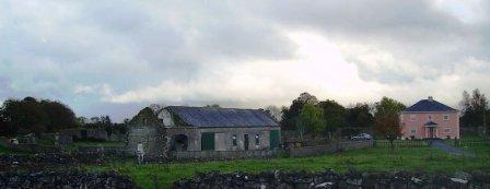
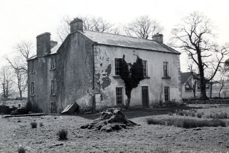
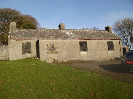
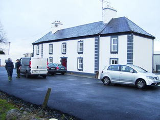
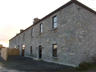
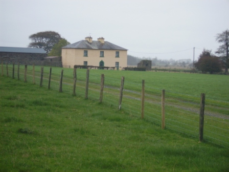
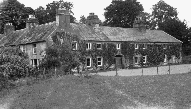
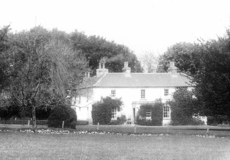
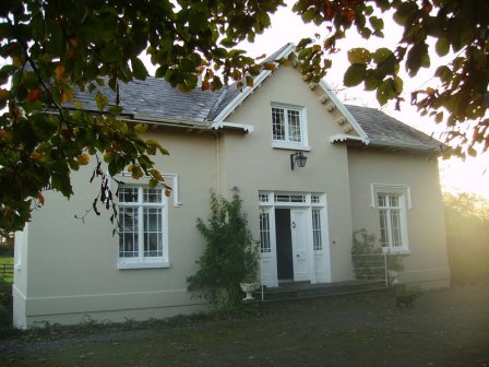
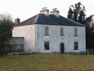
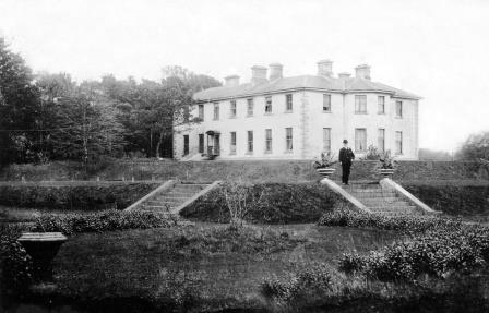
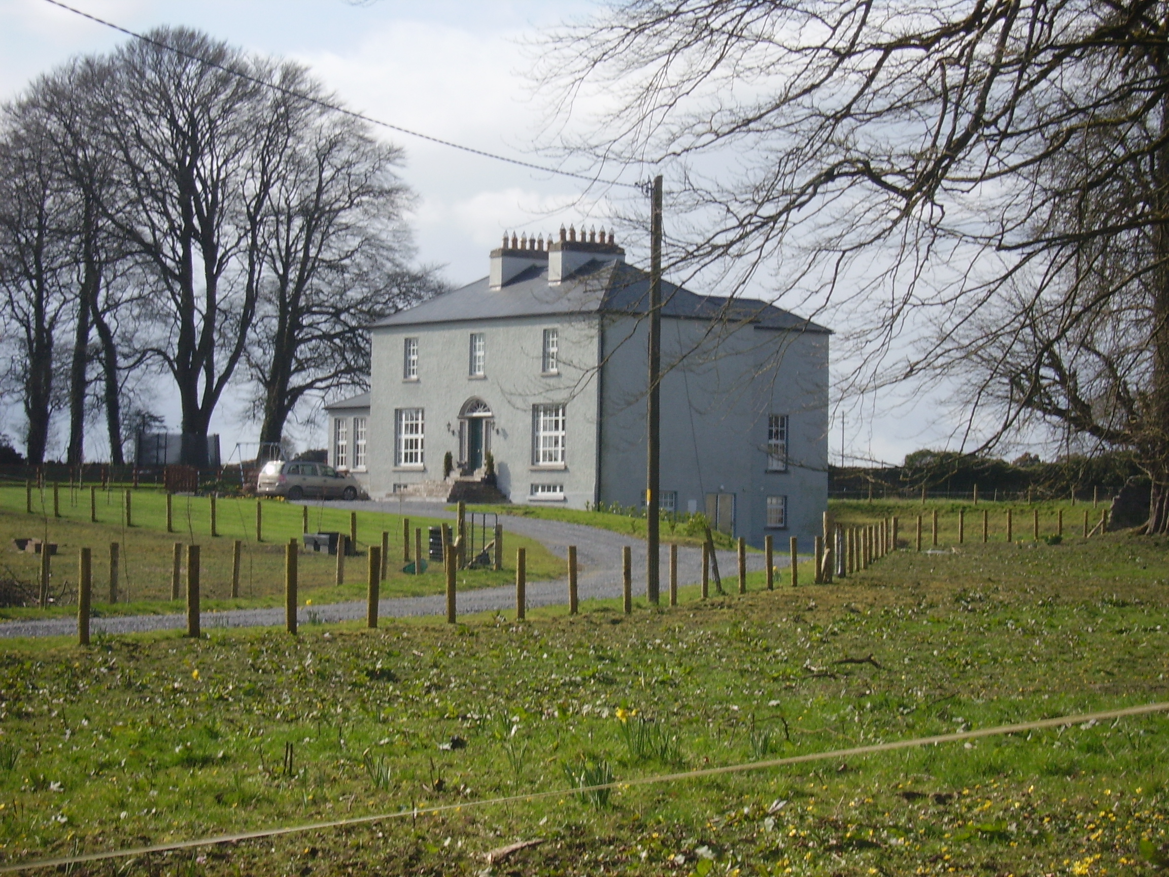
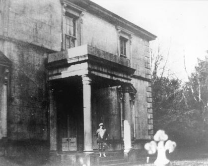
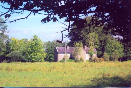
Summerville/Thomastown
Houses within 10km of this house
Displaying 36 houses.
Houses within 10km of Summerville/Thomastown
Displaying 36 houses.
| House name | Description | |
|---|---|---|
| Abbert | In 1786, Wilson refers to Abbert as the seat of Mr. Blakeney. Occupied by David Watson Ruttledge at the time of Griffith's Valuation when the buildings were valued at £35. Slater refers to Abbert as the seat of John Blakeney in 1894. A new house has been built at the site but the ruins of the original outbuildings still exist. |
|
| Hillsbrook | The home of a branch of the Kirwans of Cregg in the first half of the 19th century. Occupied by Henry Campbell at the time of Griffith's Valuation when the house was valued at over £20. It is no longer extant. |
|
| Prospect House | John Donnellan was leasing this property from the Kirwan estate at the time of Griffith's Valuation when it was valued at £4. It is labelled Prospect House on the 25-inch Ordnance Map of the 1890s. Occupied until 1977, now used for storage. |
|
| Moyne | Built in the first half of the 19th century by Michael J. Browne who was forced to sell his estate in the mid 1850s when the house was described as ‘a magnificent pile of Grecian architecture of the Doric order’. John Stratford Kirwan bought the house and demesne in 1857 from Edward Browne who had purchased it in 1855. Kirwan advertised it for sale again in 1865. It was eventually sold to the Waithmans who later purchased Merlin Park. In 1912 the house became a hospice for infirm priests and in the 1930s was taken over by the Sacred Heart Missionaries. Since 1972 it has been the home of a number of people, including the broadcaster and poet George MacBeth and the singer Donovan. A floor plan and lithographs of the house are included in the various sale rentals. |

|
| Cappagh | Occupied by Dillon Hughes at the time of Griffith's Valuation, when it was valued at £11 10s. He was leasing the property from Alexander Beatty. The National Inventory of Architectural Heritage suggests that this is originally a seventeenth century house with later additions. It is still extant and well-maintained. |
|
| Vermount | Also known as Munine or Moneen, the house was described as 'in ruins' on the Ordnance Survey 6 inch map (1932), following its burning in 1923. Extensive outbuildings are still in use and part of the yard is now a residence. McHale writes that this was, in fact, the original house. The National Inventory of Architectural Heritage suggests that the family occupied this building while Vermont House was being constructed. In 1786, Wilson refers to a house called "Munnine" as a seat of Mr. French. |
|
| Mountsilk | This property was held in fee by Michael O'Kelly at the time of Griffith's Valuation, when it was valued at £6. A later house seems to have been constructed by the time the 25-inch Ordnance map was published in the 1890s. This house is no longer extant though a farm still exists at Mount Silk. |
|
| Elmhill | Occupied by Edward Rochfort in 1814. By the time of Griffith's Valuation there was no house with a valuation of more than £1.18 shillings in the townland. The 25-inch map of the 1890s shows a later building called Elmhill House slightly north of the original building. There is still an extant house at the site. |
|
| Cooloo Cottage | In 1786 Wilson mentions "Coreloo" as the seat of Mr. Browne. Occupied by James O'Connor in 1814. Held in fee by Edward Browne at the time of Griffith's Valuation when it was valued at £25. It became the home of Michael O'Kelly in the latter half of the 19th century. Cooloo is still extant and occupied | |
| Carrownacregg West | Originally a Concannon house, sold to the Brownes in 1851 when it was in need of repair and to the Hughes family in the early 20th century. The original house is no longer extant. |
|
| Waterloo House | In 1786, Wilson refers to a house in this area as Fair-Hill, the seat of Mr. French. Waterloo was the home of the Concannons from the 1820s to the early 20th century. It was held in fee by Edmund Concannon at the time of Griffith's Valuation, when it was valued at over £20. It is still extant and occupied. |
|
| Newforest | Built prior to 1777, Wilson refers to it as the seat of Mr. D'Arcy in 1786. It was held in fee by Richard D'Arcy at the time of Griffith's Valuation when it was valued at £24. It was demolished in the latter half of the 20th century. |
|
| Wellfort | Marked on the first edition Ordnance Survey map as Wilfort House, this property was held in fee by Richard D'Arcy at the time of Griffith's Valuation when it was valued at £18. It is named as Wellfort House on the 25-inch Ordnance Survey map of the 1890s. Wellfort is no longer extant. |
|
| Moat Lodge | Built by the Digby family in the mid 19th century. Home of the Gilmores in the mid 20th century and now of Mr and Mrs Jarlath Donnellon. In the Blake of Ballyglunin Papers Thomas Murphy in a letter to Martin J. Blake dated 1837, refers to his involvement in the building of a house at Moate for Mr Digby, National Archives M6936/38/29. |
|
| Cross House | Built in the early 19th century and the home of the Evans family afterwards. The walls of the house and extensive farm buildings still remain alongside some modern farm buildings. |
|
| Cruise Lawn | Held by William Cruise from James Galbraith at the time of Griffith's Valuation when the house was valued at £5. It is named Cruice Lawn on the 25-inch Ordnance Survey map of the 1890s. Cruice Lawn is now a ruin. | |
| Greenville | Occupied by William Dillon in 1814, by P. Cruise in the 1830s and by John F. Browne at the time of Griffith's Valuation when it was valued over £5 and was part of a farm of over 250 acres. Peter Tyrell was leasing a mill at Greenville from the Bellew estate at the same time. Buildings, including the substantial stables, still exist at the site. |

|
| Windfield | Originally a Blake house, Wilson refers to it as the seat of Mr. Blake in 1786. It was sold to the Jameson family in the early 1820s and occupied by J. Lynch in the late 1830s. Catherine Lynch was leasing the property at the time of Griffith's Valuation, when it was valued at £30. The house was burnt in 1921 and nothing remains now. |
|
| Corgary or Corgerry | The house known as Corgary was part of the Joyce estate. At the time of Griffith's Valuation, it was occupied by Eleanor Morgan, leasing from Walter Joyce, and valued at £30. It was shown on the 25-inch Ordnance Survey map of the 1890s but labelled "in ruins" on the 6-inch map of 1932. | |
| Newtown | The home of the Kelly family in the 19th century, sold to Major Frederick Carr in the early 1930s and sold again in the late 1960s. The house has had a number of owners in the intervening years and is well maintained. It was offered for sale in 2007. |
|
| Cloverfield | Joseph E. Nolan was resident at the time of Griffith's Valuation when the house was valued at £4. It appears to have become ruinous by the time of the 25-inch Ordnance Survey map of the 1890s. | |
| Castletown | A Bodkin property, a small house is marked on the first Ordnance Survey map. A herd's house valued at £2 was held by James D'Arcy in fee at the time of Griffith's Valuation. Farm buildings exist at the site. | |
| Fiddaun Lodge | In 1786 Wilson refers to Fidane as the seat of Mr. Kelly. Melvin writes that John Dennis, the famous huntsman, was born at Fiddaun in 1800. Charles O'Rorke was leasing it from the Redington estate in the mid 1850s when the house was valued at almost £5. A house still exists at the site. |
|
| Lakeview | Built by the Carr family and occupied by Michael Carr at the time of Griffith's Valuation when the house was valued at £13. A house is shown though not labelled on the 1st edition Ordnance Survey Map. It is named as Lakeview House on the 25-inch edition of the 1890s. Lakeview is still extant. |
|
| Clonbern Park | A house built after the publication of the 1st edition Ordnance Map. The property in this townland was held by Charles O'Rorke at the time of Griffith's Valuation when it was valued at almost £8. Clonbern Park no longer exists but the stable block and walled garden are still evident on the site. |
|
| Mountbellew | A three storey house built in the 18th century. In 1786 Wilson refers to it as the seat of Michael Belew. Extensively renovated in the mid 19th century and valued at £80 at the time of Griffith's Valuation. It was demolished in the late 1930s. |

|
| Moyloughmore | The O'Rorkes lived in the rectory at Moylough. At the time of Griffith's Valuation, Reverend John O'Rorke was leasing a property valued at £11 from Charles O'Rorke. The rectory is still extant. |
|
| Carrowleana House | At the time of Griffith's Valuation occupied by Andrew W. Irwin and valued at £15. The house has been demolished but the stables are still extant. | |
| Castle Bellew | Occupied by Peter Geraghty in the mid 1850s when it was valued at almost £9, this house is labelled as Castle Bellew House on the 25-inch Ordnance Survey map of the 1890s. It is no longer extant with some ruins remaining at the site. | |
| Fort Browne | By the mid 1850s the house was valued at £2.15s and was occupied by Margaret Burke. It is now derelict. |
|
| Netterville Lodge | A two storey 19th century house, the home of the Nettervilles and the Gerrards. Came into the possession of the Fallon family of Runnimeade, county Roscommon, following the death of Marcella Gerrard in 1865. Occupied by Cecilia Fallon in 1906, later demolished. Both Taylor and Skinner and Wilson indicate a second Fallon property, Highlake, in the area in the 1780s. |
|
| Castlegar | At the time of Griffith's Valuation held by Robert R. Smith in fee and valued at £12. In 1906 it was owned by his representatives and was valued at £20. | |
| Springlawn | Occupied by John W. Maunsell at the time of Griffith's Valuation and valued at £5. This house is no longer extant. | |
| Woodbrook | Originally a Netterville home, Woodbrook was located in the demesne of Netterville Lodge and is marked on the first Ordnance Survey map of 1838. At the time of Griffith's Valuation it was described as a steward's house valued at £5. It is now a ruin. | |
| Bellew's Grove | Slater refers to Bellew's Grove as a seat of Lord Grey de Ruthin in 1894. It was held by Mrs. Bellew at the time of Griffith's Valuation and valued at £30. Buildings still exist at the site. | |
| Cloonkeen Lodge (Kilkerrin) | Cloonkeen Lodge is shown on the 25-inch edition Ordnance Survey map of the 1890s. It occupies the site of an earlier settlement, Ballyphillipeen, shown on the 1st edition Ordnance Survey map. At the time of Griffith's Valuation this townland was held by William P. Cullen who held a house, valued at almost £5 in fee there. The building is still extant though not apparently in use. |
|