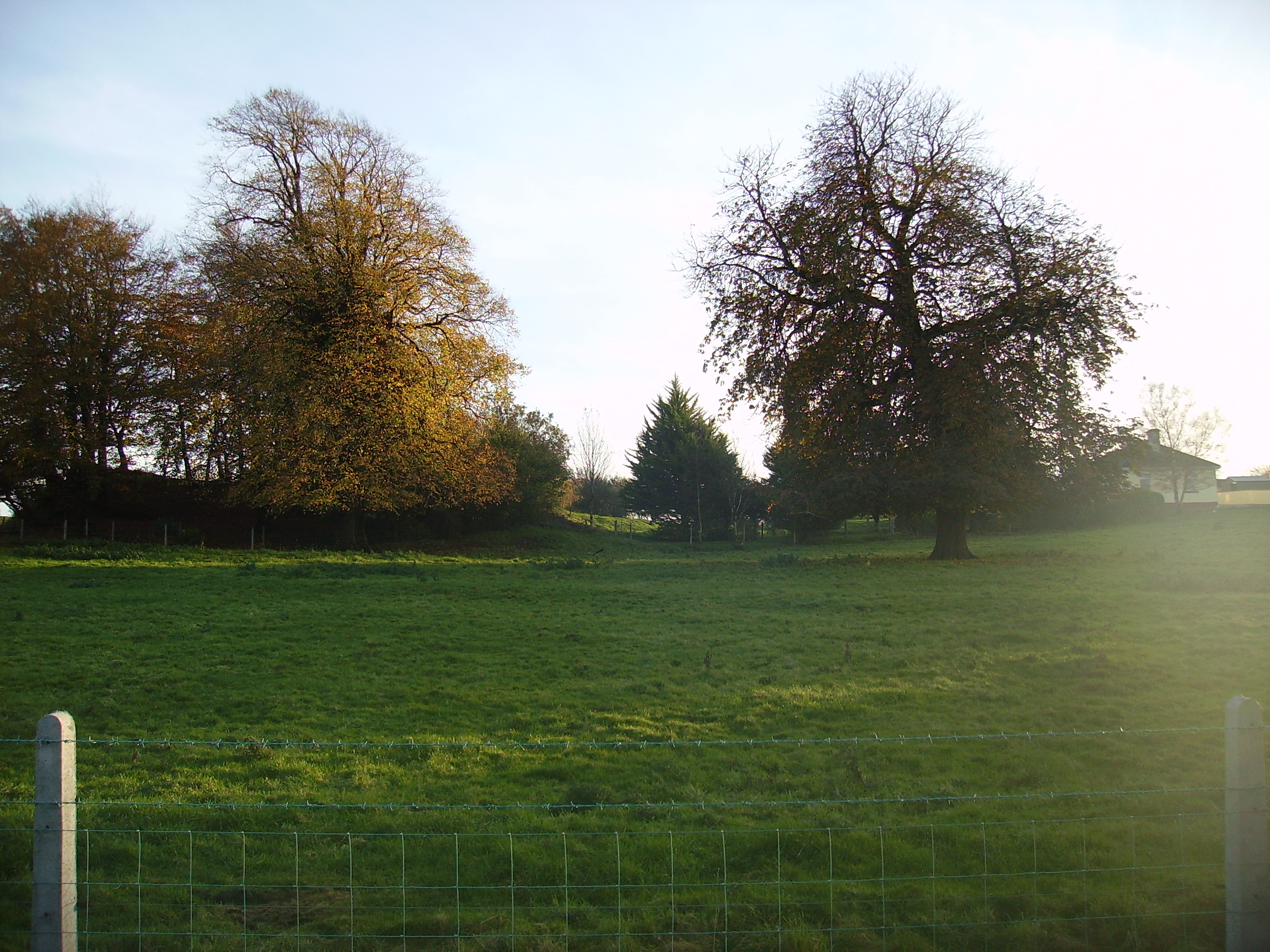
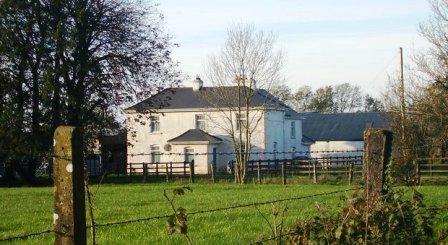
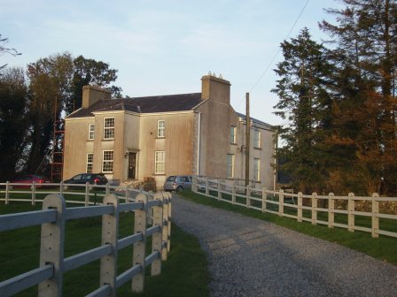
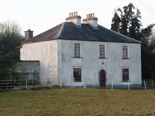
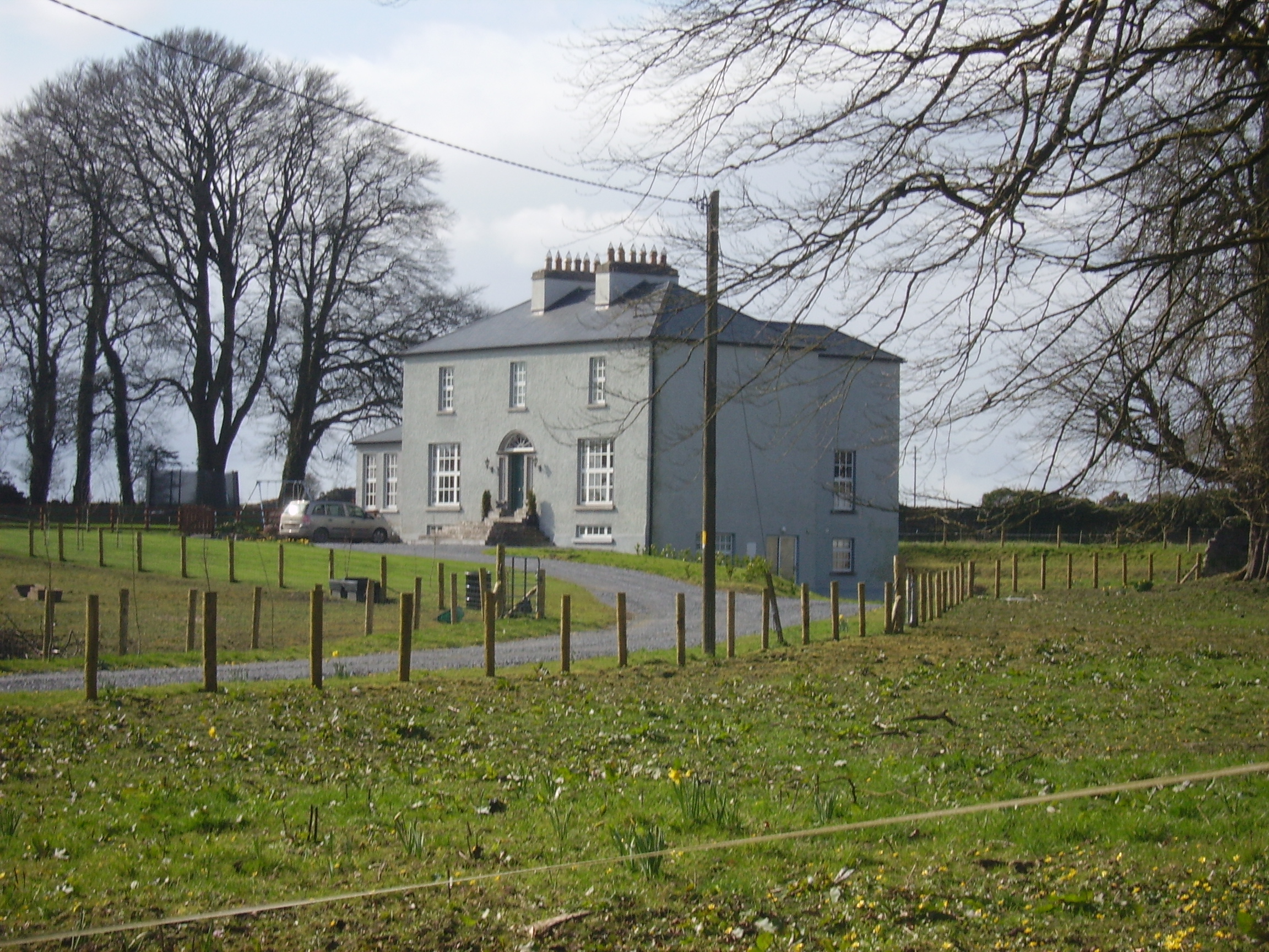
Moat Lodge
Houses within 5km of this house
Displaying 8 houses.
Houses within 5km of Moat Lodge
Displaying 8 houses.
| House name | Description | |
|---|---|---|
| Mountsilk | This property was held in fee by Michael O'Kelly at the time of Griffith's Valuation, when it was valued at £6. A later house seems to have been constructed by the time the 25-inch Ordnance map was published in the 1890s. This house is no longer extant though a farm still exists at Mount Silk. |
|
| Elmhill | Occupied by Edward Rochfort in 1814. By the time of Griffith's Valuation there was no house with a valuation of more than £1.18 shillings in the townland. The 25-inch map of the 1890s shows a later building called Elmhill House slightly north of the original building. There is still an extant house at the site. |
|
| Cooloo Cottage | In 1786 Wilson mentions "Coreloo" as the seat of Mr. Browne. Occupied by James O'Connor in 1814. Held in fee by Edward Browne at the time of Griffith's Valuation when it was valued at £25. It became the home of Michael O'Kelly in the latter half of the 19th century. Cooloo is still extant and occupied | |
| Summerville/Thomastown | Home of Dominick G. Bodkin in 1814. The Bodkins intermarried with the Kilkellys. In 1855 the mansion house was described as 3 storeys high and in good repair. By the 1870s John Lyons of Summerville, Moylough, owned 218 acres in county Galway. In 1906 another source records Summerville, valued at £13.10 shillings, as occupied by John Lyons. Renovated in 2006 by its present owner Pat Lyons. |
|
| Lakeview | Built by the Carr family and occupied by Michael Carr at the time of Griffith's Valuation when the house was valued at £13. A house is shown though not labelled on the 1st edition Ordnance Survey Map. It is named as Lakeview House on the 25-inch edition of the 1890s. Lakeview is still extant. |
|
| Moyloughmore | The O'Rorkes lived in the rectory at Moylough. At the time of Griffith's Valuation, Reverend John O'Rorke was leasing a property valued at £11 from Charles O'Rorke. The rectory is still extant. |
|
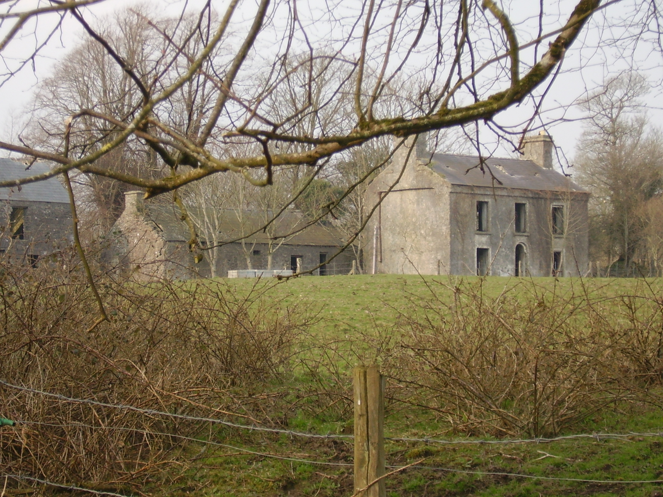
| Fort Browne | By the mid 1850s the house was valued at £2.15s and was occupied by Margaret Burke. It is now derelict. |
|
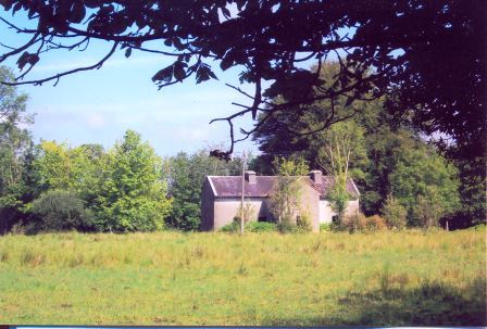
| Cloonkeen Lodge (Kilkerrin) | Cloonkeen Lodge is shown on the 25-inch edition Ordnance Survey map of the 1890s. It occupies the site of an earlier settlement, Ballyphillipeen, shown on the 1st edition Ordnance Survey map. At the time of Griffith's Valuation this townland was held by William P. Cullen who held a house, valued at almost £5 in fee there. The building is still extant though not apparently in use. |
|