Mounthazel
Houses within 5km of this house
Displaying 14 houses.
Houses within 5km of Mounthazel
Displaying 14 houses.
| House name | Description | |
|---|---|---|
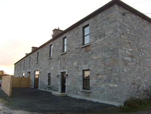
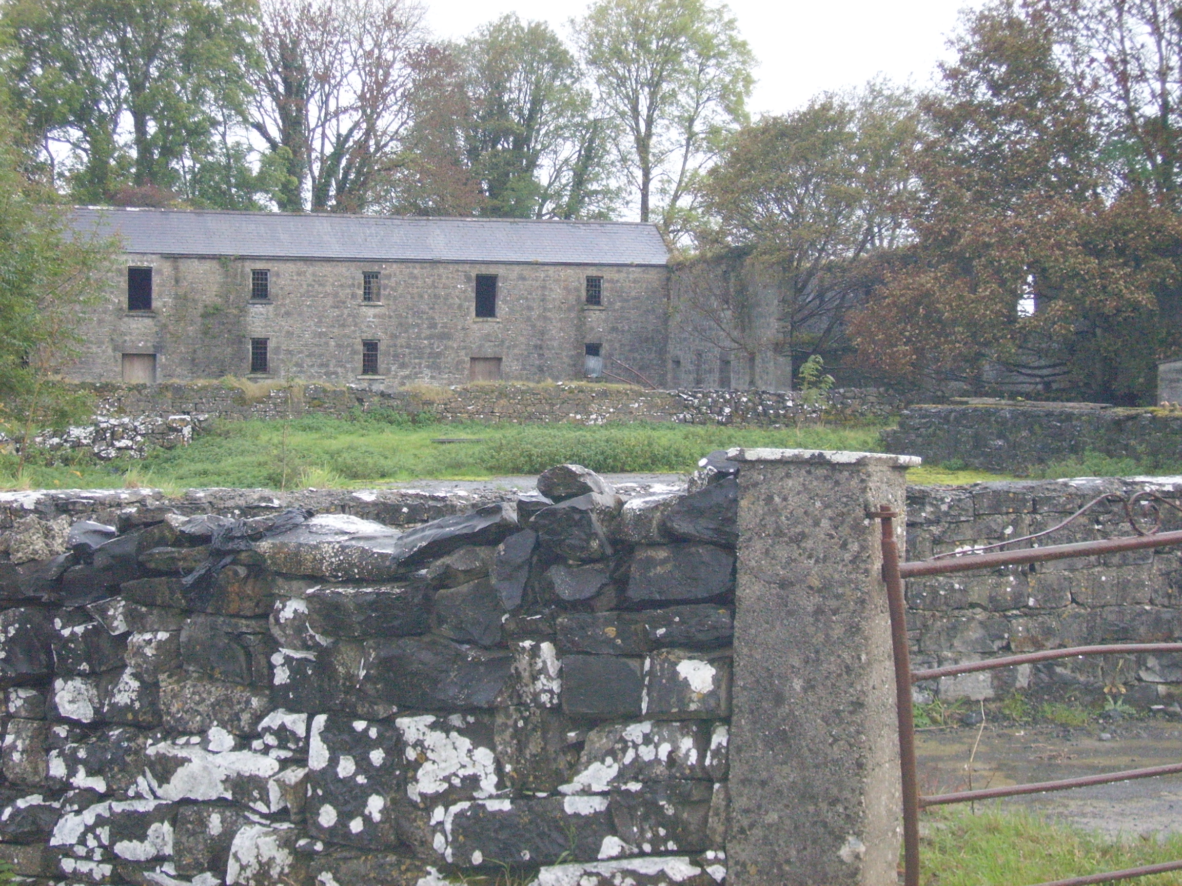
| Vermount | Also known as Munine or Moneen, the house was described as 'in ruins' on the Ordnance Survey 6 inch map (1932), following its burning in 1923. Extensive outbuildings are still in use and part of the yard is now a residence. McHale writes that this was, in fact, the original house. The National Inventory of Architectural Heritage suggests that the family occupied this building while Vermont House was being constructed. In 1786, Wilson refers to a house called "Munnine" as a seat of Mr. French. |
|
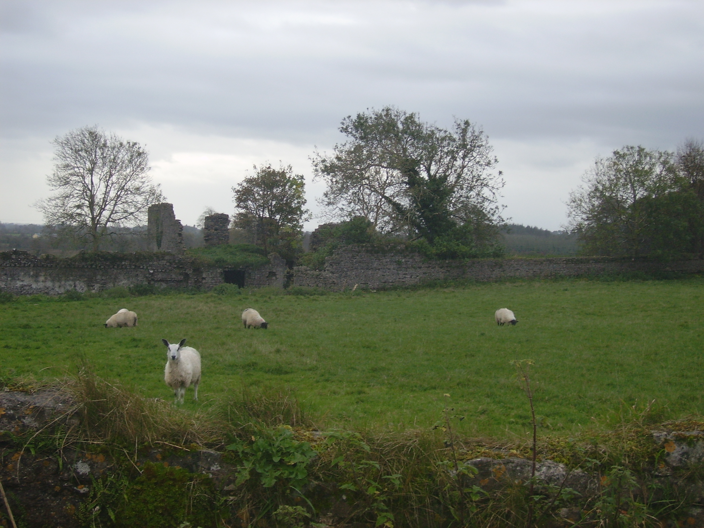
| Mountbernard | Home of Bernard Browne in the 1830s. Occupied by James C. [Leslie] Foster at the time of Griffith's Valuation, leasing from Andrew Browne, when the house was valued at £35 Foster was married to Henrietta, daughter of Sir Ross Mahon of Castlegar. The house is now in ruins. |
|
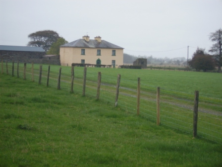
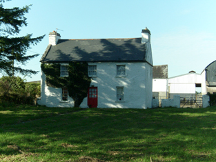
| Waterloo House | In 1786, Wilson refers to a house in this area as Fair-Hill, the seat of Mr. French. Waterloo was the home of the Concannons from the 1820s to the early 20th century. It was held in fee by Edmund Concannon at the time of Griffith's Valuation, when it was valued at over £20. It is still extant and occupied. |
|
| Esker Lodge | James Martin was leasing a property valued at £15 from Andrew Browne's estate at Esker, barony of Tiaquin, at the time of Griffith's Valuation. It is labelled Esker Lodge on both the 1st and 25-inch edition Ordnance Survey maps. A small amount of ruins remain at the site. | |
| Cross House | Built in the early 19th century and the home of the Evans family afterwards. The walls of the house and extensive farm buildings still remain alongside some modern farm buildings. |
|
| Cruise Lawn | Held by William Cruise from James Galbraith at the time of Griffith's Valuation when the house was valued at £5. It is named Cruice Lawn on the 25-inch Ordnance Survey map of the 1890s. Cruice Lawn is now a ruin. | |
| Corgary or Corgerry | The house known as Corgary was part of the Joyce estate. At the time of Griffith's Valuation, it was occupied by Eleanor Morgan, leasing from Walter Joyce, and valued at £30. It was shown on the 25-inch Ordnance Survey map of the 1890s but labelled "in ruins" on the 6-inch map of 1932. | |
| Cloverfield | Joseph E. Nolan was resident at the time of Griffith's Valuation when the house was valued at £4. It appears to have become ruinous by the time of the 25-inch Ordnance Survey map of the 1890s. | |
| Colmanstown | Originally a French property which became a Quaker settlement. Griffith's Valuation describes the buildings as a herd's and steward's house occupied by Edward Barrington and partners and then valued at £30. Buildings on both sides of the road mark the site of Colmanstown. Only the walls remain of some of these buildings, others are still in use. |
|
| Creeraun | At the time of Griffith's Valuation the townland was held by Margaret O'Kelly and the house and some land was occupied by Anthony O'Kelly. In the sale particulars of Creeraun in 1889 the house is marked on the map as 'in ruins'. |

|
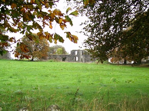
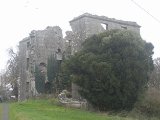
| Hampstead | Built in the mid-18th century. In 1814 Hampstead House was the residence of John Bodkin. In 1837 Lewis recorded it as the seat of F.Davis. In 1853 it was occupied by Thomas Pilkington Davies who was leasing it from George Davies. At the time of Griffith's Valuation it was leased by the Morgan family to Martin Blake. In 1906 it is recorded as being part of the estate of James Johnston. It is now a ruin. |
|
| Mountventure | Occupied by John Evans in 1814. James Raftery was leasing it from the Clancarty estate at the time of Griffith's Valuation when it was valued at almost £10. The house is no longer extant though some walls remain. | |
| Alloonbaun/Church View | At the time of Griffith's Valuation Rev. Joseph Seymour was leasing this house from the Clancarty estate when it was valued at almost £8. It is still extant and occupied. |
|
| Ashfield (Tiaquin) | IN 1786, Wilson refers to Ashfield as the seat of Mr. Blakeney. On the 1st edition Ordnance Survey map a tree-lined avenue and buildings are shown but not named. None of the buildings are visible today though a portion of the avenue remains. |