Clydagh
Houses within 5km of this house
Displaying 6 houses.
Houses within 5km of Clydagh
Displaying 6 houses.
| House name | Description | |
|---|---|---|
| Claran House | The home of the Browne family in the 19th century. It was occupied by Arthur Dillon Browne in the early 20th century. |
|
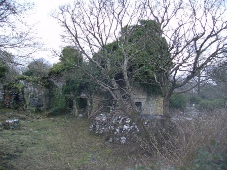
| Ower | In 1786, Wilson refers to "Aur" as the seat of Mr. Burke. The Ordnance Survey Name Books record John Burke as the owner in the 1830s. At the time of Griffith's Valuation, Joseph Burke held this property in fee when it was valued at £13. It was leased to Colonel Beddington in the 1920s and is now a ruin. |
|
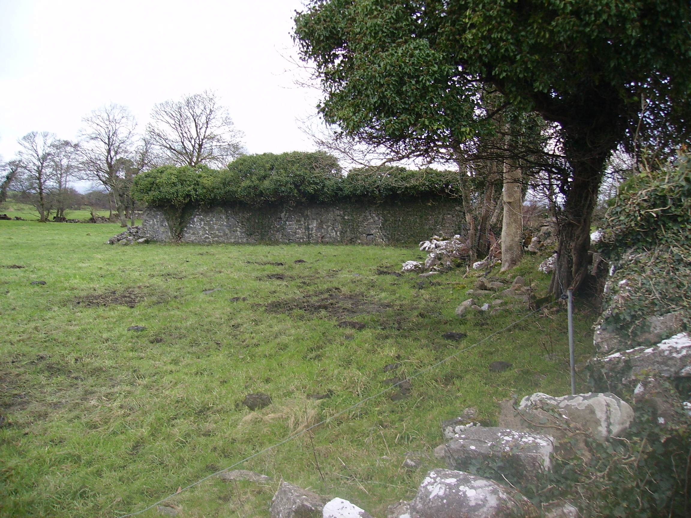
| Srue | Occupied by Chris O'Flaherty in 1814 and marked on the first Ordnance Survey map 1838 in a triangle of land near the shore of Lough Corrib. Possibly built as a steward's or agent's house. It was listed as a herd's house by the time of Griffith's Valuation when it was held by the Law Life Assurance Society in fee. Remnants of the garden walls and of the farm buildings still remain. |
|
| Annaghkeen | The castle was in ruins by the late 1830s. | |
| Ballynalacka Lodge | In the sale rental of 1852 there is reference to the erection of a shooting lodge at Ballynalacka by the 'late proprietor' and a building named Ballynalacka Lodge appears in this townland on the 1st edition Ordnance Survey Map. It is labelled as "in ruins" on the 25-inch Ordnance Survey map of the 1890s. | |
| Carrownacroagh | Home of William Skerrett in the 1830s. By the time of Griffith's Valuation, the townland was in the possession of Dominick O'Flaherty but there was no house with a valuation greater than £2. |
|