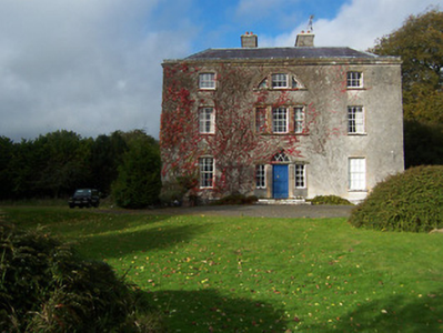
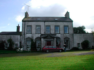
Sallymount House
Houses within 5km of this house
Displaying 5 houses.
Houses within 5km of Sallymount House
Displaying 5 houses.
| House name | Description | |
|---|---|---|
| Hilltown | Hilltown House, built in front of the ruins of a castle, is a three-bay three-storey over basement Palladian country house, built about 1780, possibly by William Webb. It was the home of William Webb in 1814 and in 1837. Valued at £26 at the time of Griffith’s Valuation (publ. 1854) it was occupied by George Webb and held from Lady Oranmore [and Browne]. Members of the Webb family were still resident in the early 20th century and O’Brien writes that the estate was acquired by the Land Commission. The house is still a private residence. |
|
| Loughpark | Lough Park House, situated on the shores of Lough Lene to the south east of Castlepollard, this five-bay two-storey house, built about 1790 was home to the Evans family for much of the 19th century. N Evans was resident in 1837 and Michael Evans at the time of Griffith’s Valuation (publ. 1854). He held the house valued at £20 from William P Urquhart of Castlepollard. Thomas Pender, farmer and family lived here in 1901 and Samuel R Sutton, farmer and family in 1911. The property remains a family home. |
|
| Lough Bawn | Lough Bawn House, Carrick, a two-storey, four-bay house built c 1840s as it is not marked on the first edition OS map. It was the home of the Battersby family. George Battersby held it in fee at the time of Griffith’s Valuation (publ. 1854) when the building was valued at £28.5. John Radcliff Battersby, JP and farmer, and family were resident at the beginning of the 20th century and the house remains in the possession of Battersby descendants, see https://landedfamilies.blogspot.com/2021/06/459-battersby-of-bobsville-lakefield.html |

|
| Cummerstown House | Cummerstown House, a two-storey, three-bay house, not built at the time of the first edition OS map but named on the 25 inch. Occupied by Laurence Levey at the time of Griffith’s Valuation (publ. 1854) when the building was valued at £10.10 and held from the trustees of Wilson’s Hospital. Home of farmer Samuel O’Neill and family at the beginning of the 20th century, now the address of Cummerstown Farm Aviation Ltd. | |
| Glenidan | Glenidan House is named on both the first edition six inch and 25 inch OS maps. Stephen Moore lived at Glenidan in 1814. Lewis records it as the residence of Blandford. Robert McCormick held Glenidan, valued at £10.10 from Patrick E Murphy at the time of Griffith’s Valuation (publ. 1854). This house appears to be still extant. |