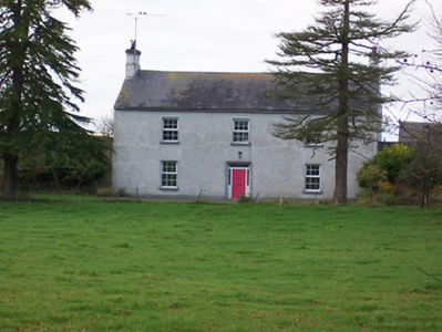
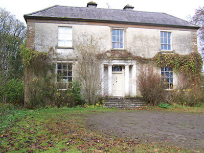
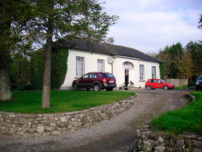
Mount Dalton
Houses within 5km of this house
Displaying 13 houses.
Houses within 5km of Mount Dalton
Displaying 13 houses.
| House name | Description | |
|---|---|---|
| Dalystown | Dalystown is marked on the first edition OS map and named on the 25 inch map. It is a detached three-bay two-storey house, built in the early 19th century. Valued at £12 at the time of Griffith’s Valuation (publ. 1854), occupied by Lewis Meares and held from John Rotton. |
|
| Hallstown House | Hallstown or Halston House is named on the first edition OS map. This house was built c.1760 and altered and extended c.1820 by Sir Richard Morrison for the Boyd Gamble family (O’Brien). It is a two-storey, three-bay house and was the home of a H. Boyd Gamble in 1837. At the time of Griffith’s Valuation (publ. 1854) Frederick Gambell held it from Captain H Boyd Gambell, when it was valued at £28. Various other occupants followed and the house and lands were sold to the Hon Kieran Guinness in 1980. |
|
| Washford House | Washford House is a five-bay single-storey house, built c.1845, with a shallow projecting porch to the centre. Valued at £20 and held by Captain H Boyd Gamble in fee at the time of Griffith’s Valuation (publ. 1854). |
|
| Darlington Lodge | Darlington Lodge, named on the first edition OS map, occupied by A McDonnell in 1837 and by John Malone and held from Captain H Boyd Gamble at the time of Griffith’s Valuation (publ. 1854) when valued at £18. O’Brien writes that it was possibly built as a dower house for Hallstown/Halston. The home of the Kenny family in recent times. | |
| Toberville House | Toberville House is named on the first edition OS map. At the time of Griffith’s Valuation (publ. 1854) it was occupied by Thomas Murtagh, valued at £12 and held from Captain H Boyd Gamble. A building is still located at this site. | |
| Ballinacor | Ballinacor is named on the first edition OS map. This two-storey, five-bay house was erected c 1740 and was the home of the Nugent family who were resident here from the 17th century until the mid-19th century. Referenced on the Taylor and Skinner maps of the late 1770s and occupied by Edward Nugent in 1814. In 1852 James Nugent, Count Nugent, sold the Ballinacor estate to the Halls. The sale rental describes the house as ‘large and commodious and in perfect habitable order’. At the time of Griffith’s Valuation (publ. 1854) Charles Hall held the house valued at £23 in fee. In 1906, Major George C Hall was recorded as the occupant. Bought by the Finnerty family in the early 20th century, the house is now demolished but the main entrance gates remain. |
|
| Forgney House | Thomas Lennon was occupying Forgney House at the time of Griffiths Valuation in the 1850s, when it was valued at £12 and leased from the King Harman estate. It is possible that this is the same property which the valuers recorded as occupied by William Atkinson in 1840 and then valued at over £13. The house is not visible on the 25” map of the early twentieth century and the area is now covered by forestry. Elsewhere in the same townland, a house is labelled Forgney Old House (N205545) on the 1st edition Ordnance Survey map but does not appear on later maps. | |
| Ballincurra House (Rathconrath) | Benjamin Digby held this property in fee at the time of Griffiths Valuation in the early 1850s when it was valued at £23. The original Valuation Office books had valued the property at £25 in 1850, It had a similar valuation in 1906 when it was owned by William Benjamin Digby. It survived into the 20th century but is now a ruin. | |
| Shinglis House | The 1906 Survey of Untenanted Demesnes indicates John Malone as the owner of a property at Shinglis, valued at almost £32. The 1st edition Ordnance Survey map shows the ruins of Shinglis Court adjacent to this site but the 25-inch map labels Shinglis House a short distance to the north-east. O'Brien provides a detailed account of the evolution of the houses at this site, notably those occupied by the Malone family. He notes that Shinglis was demolished in the 1970s. | |
| Moyvore | Peter Odlum was leasing this property from the Grogan estate at the time of Griffiths Valuation, when it was valued at £12. | |
| Beech Lawn (Ballymahon) | George Meares was leasing this property from the Grogan estate at the time of Griffiths Valuation, when it was valued at almost £17. A house is still extant at this site. | |
| Belmore Place | At the time of Griffiths Valuation in the early 1850s this property was held in fee by Robert W. Lowry, when it was valued at £16. It is labelled Belmore Place on all editions of the Ordnance Survey maps. O'Brien writes that the original house at this site had been occupied by Netterville Blake, who sold the property to Lowry in 1832. The National Inventory of Architectural Heritage suggests the surviving farm complex was built c.1850. The house was demolished in the 20th century. |
|
| Baltacken House | Abraham Coates was leasing this property from Nathaniel McElthwaite at the time of Griffiths Valuation when it was valued at £12. It was described as a caretaker’s house with offices. It is labelled Baltacken House on all editions of the Ordnance Survey map and is still extant and in use. |