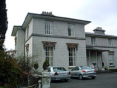
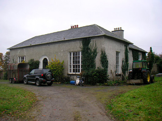
Creaghduff House
Houses within 5km of this house
Displaying 19 houses.
Houses within 5km of Creaghduff House
Displaying 19 houses.
| House name | Description | |
|---|---|---|
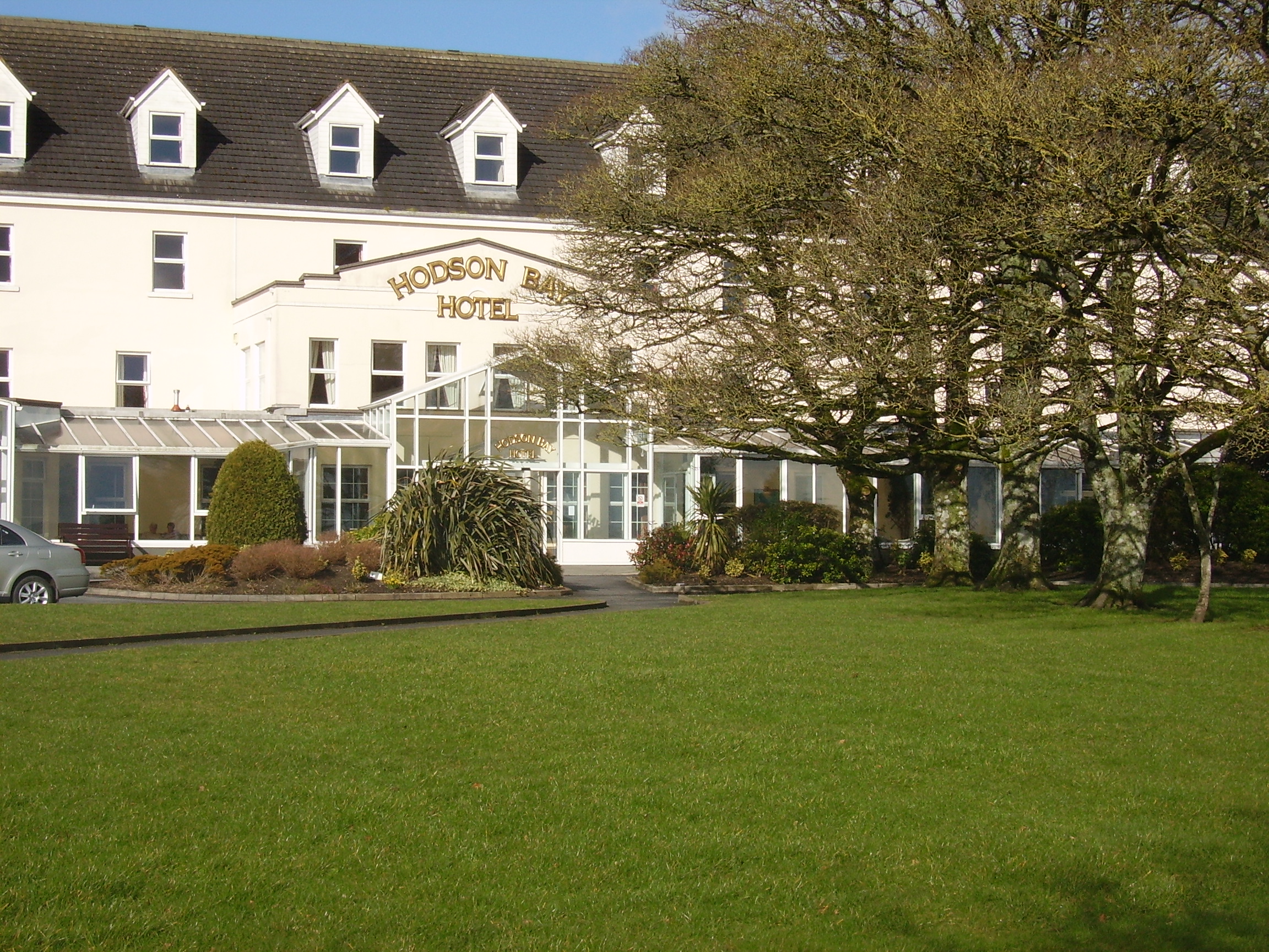
| Hodson Bay | The home of the Hodson family on the shore of Lough Ree. At the time of Griffith's Valuation occuppied by Leonard Hodson junior and Samuel Hodson, who held from the Court of Chancery. Now greatly expanded and functions as a hotel. |
|
| Ladywell | Although much of the demesne of Harmony Hall is shown in the townland of Bunown on the first edition OS map, the house Ladywell was not built at this time. An elegant Italianate country house, six-bay two-storey over (partial) basement country house on L-shaped plan, built about 1845 to a design by Sandham Symes (1808-1894), for the Mahon Family (boi). In the mid-19th century Ross Mahon was the occupant holding the building valued at £37 in fee. Members of the Metge, Crofton, Williams and Flannery have all been occupants of this house. It has extensive views over Killinure Lough to the south. |
|
| The Lodge | The Lodge on Hare island was a hunting/fishing lodge built c 1814 for William Handcock, 1st Lord Castlemaine of Moydrum to designs by Sir Richard Morrison (1767 - 1849), having a veranda supported on cast-iron pillars to the entrance front (boi). In 1837 Lewis describes it as a ‘Beautiful cottage’ belonging to Lord Castlemaine. On Hare Island he engaged in fishing, shooting and boating on Lough Ree and hosted many social events on the island during the first half of the nineteenth century. In 1906 the buildings on Hare Island were valued at £18, occupied by Lord Castlemaine who held 110 acres of untenanted land there. It is now derelict. |
|
| Lough Ree Lodge | This lodge located on the eastern shore of Lough Ree, named on the first edition OS map, is a four-bay two-storey house, built c.1815, by a branch of the Handcock-Temple family of Waterstown House. It was the home of a Gustavus H. Temple, in 1837 and at the time of Griffith’s Valuation, when it was valued at £21. Later the home of the Daniels and Fagan families and still occupied. |
|
| St Marks | St Marks named on first edition OS map and on the 25 inch map, is now a ruin. It was the home of the Potts family, occupied by John Potts in 1814 and 1837 and by William Potts at the time of Griffith’s Valuation, when the building was valued at £16.10. O’Brien writes that in the 1860s the house came into the possession of the Magan family. The house was twice destroyed by fire . On the second occasion it was not rebuilt and the stables were converted into a residence. | |
| Killinure House | Killinure House located close to the eastern shore of Lough Ree is an early 19th century house originally constructed by a branch of the Murray Family. Occupied by Alexander Murray in 1814 and by Major General Murray in 1837. It was later the home of the Maunsell Family in the mid-to-late nineteenth-century. Members of the Brereton and Metge families were residents in the 20th century. It was later the home of the Reid family who opened it as a hotel. The Glasson Lakehouse hotel resort is located there now. |

|
| Annagh | Annagh was a Dillon home as probably were Glenmore and Lakeview houses also in this townland. There is a building still at the Glenmore site but the other two houses are gone. O’Brien writes that an early 19th century house was built in front of an earlier house and that Dillons lived here from at least the mid-18th century. In 1814 and 1837 Christopher R Dillon was resident and Mary Ann Dillon in the mid-19th century when the house was valued at £10 and held from Lord Ashtown of Woodlawn, County Galway. In the latter part of the 20th century the house was abandoned and is now derelict. | |
| Rossana House | Rossana House is named on the first edition OS map. It was built in the early 19th century but is not mentioned in Leet (1814). However, Lewis records Captain Stubbs as the occupant in 1837. By the time of Griffith’s Valuation Elizabeth Murray (nee Rushworth), widow of Major General James P Murray of Killinure House, was resident holding the property valued at £16.5 from Anne Stubbs who held the 30 acre townland from the King-Harmans. Members of the Murray family appear to have occupied the house during the rest of the 19th century. John and Ethel Hall were resident in 1901. Sold to the Sisters and Disciples of the Divine Master in the mid-1960s and demolished circa 1990 according to the list of Protected Structure for the county. | |
| Easthill House | Detached three-bay early nineteenth-century Regency villa, built in 1803. This house was originally built by a branch of the Handcock-Temple family of nearby Waterstown House and by 1814 was the home of Richard Cuppaidge, who is also recorded in 1837 as the occupant. John Cuppaidge was resident at the time of Griffith’s Valuation. The house was the property of the Clynes, Dolan and O’Shea families in the 20th century. |
|
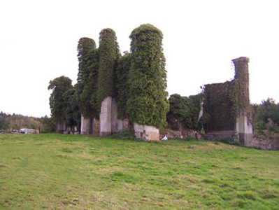
| Waterstown House | This Palladian style country house on rectangular plan, constructed c.1745 was designed by the German architect Richard Castle (1695-1751) for Gustavus Handcock and his wife Elizabeth Temple. It has important historical connections with the Temple-Handcock family, who were originally granted the lands around Waterstown as payment for services to the Crown during the Cromwellian Wars (boi). Robert Handcock Temple was resident in 1814 and 1837. Valued at £47 in the mid-19th century it was occupied by Robert Holmes. The buildings had increased in value to £61.15 in 1906. It remained within the Temple-Handcock family until mid-1923 when they sold the estate to the Land Commission. In 1928 the pedimented doorcase at Waterstown was removed and re-erected at Lissglassick House (Longford) and the house became a ruin in the 1930s. |
|
| Ballaghkeeran House | Ballaghkeeran House marked on the 25 inch OS map but not on the earlier first edition map. This ‘mansion’ house was erected in the 1860s according to a Murtagh sale rental of 8 December 1876 which states that the sale included “a fine residence, erected within the last ten years, regardless of expense, built on an eminence affording commanding views of lake scenery … and approached from the public road by a handsome carriage drive, with ornamental iron gates and lodge at entrance’. Mrs Murtagh was the occupant at this time holding the house and nine acres as a tenant under the Court of Chancery. Members of the Murtagh family were still living in the house in 1901 and 1911. This house appears to be the residence of a farming enterprise. | |
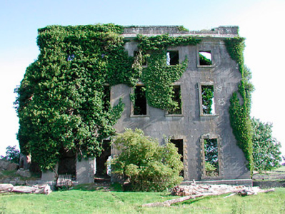
| Moydrum Castle | The National Built Heritage Service states that Moydrum Castle is a Gothic Revival castellated country house built circa 1812 to designs by Sir Richard Morrison (1767-1849), who was commissioned by William Handcock to rebuild an existing house befitting of his new status as Lord Castlemaine. Lewis describes it as ‘a handsome castellated mansion, erected in 1814’. It was valued at £75 in the mid-19th century. The building remained the home of the Castlemaines until it was burnt down on 3 July 1921. A photograph of the remains featured on the cover of the U2 album ‘The Unforgettable Fire'. |
|
| Old Court | Old Court located on the northern outskirts of Athlone town was built circa 1840 (O’Brien) and incorporated an earlier house. The building on the site on the first edition OS map is named Springpark House. The Potts were settled here from the 18th century. P Cusack occupied Spring Park in 1837 and the house valued at £26 was held by William Potts in fee at the time of Griffith’s Valuation (publ. 1854). In the early 20th century the house was occupied by the Magan family and William Morgan Tilson Magan spent his childhood years here. This house was demolished in the 1980s. | |
| Newcourt | The National Built Heritage Service records a substantial mid-Victorian house which retains its character and much of its early fabric despite numerous later extensions and alterations. A four-bay two-storey house, built about 1864 by William Potts of nearby Old Court. There is a plaque of the Longwood Family over the crenellated extension. Owned by the Potts into the 20th century and by the Heaton family since the 1950s. | |
| Court Devenish | The present Court Devenish House was built at the end of the 18th century and has been extensively renovated and extended at various times. The remains of the important early 17th century Court Devenish House forms a garden feature. The original house was largely destroyed during the 1691 siege. The Devenishes descended from a Dublin merchant who leased land at Athlone from the Crown in the early 17th century. In 1751 their interest in these lands was sold to Gustavus Hamilton [of Viscount Boyne family]. At the time of Griffith’s Valuation (publ. 1854) a Mrs Dubordieu was resident holding the property from William Cooke of Talbot Hall, New Ross, Co Wexford. It was valued at £20.10. Since then the house has had many occupants and owners but is still extant. |
|
| Auburn House | Auburn House located on the eastern outskirts of Athlone town is described by O’Brien as a late 18th century, two-storey, three bay house built by James Sproule about 1790. Occupied by the Bruce family of Gore House, Northgate Street, for about fifteen years before they emigrated to Australia. W S Bruce was resident in 1837. At the time of Griffith’s Valuation (publ. 1854) Laurence or Lorenzo Dundas was resident, holding the house valued at £22 from George Mechum. in 1894 Slater noted it as the residence of George A.G. Adamson, J.P. Various persons occupied this house in the following years including the Mahon and Browne families in the 20th century. Sold to the state in the 1960s it became a ruin and is now demolished. The Athlone Regional College now occupies the site. | |
| Mountain View Cottage | This building is named as Mount View Cottage on the first edition OS map and Mount View on the 25 inch map. O’Brien writes that Mount View on the Moate road is a two-storey, three-bay Victorian house built by a Mr Vaughan in 1866. At the time of Griffith’s Valuation (publ. 1854) the previous house on this site, valued at £10, was occupied by Mrs Diana Sproule, who held the property from Robert Jameson. The present house was a McNamara home in the 20th century and is still extant. | |
| Woodville | Hawthorn Cottage is named on the first edition OS map and on the 25 inch map as Woodville. ‘The Cottage’ was the seat of William Cooke in 1837 and at the time of Griffith’s Valuation (publ. 1854) when the building was valued at £16 and held from Lord Castlemaine. O’Brien writes that the Bourke family were in possession in the late 19th and early 20th centuries. The house was demolished post 1950. The site is now among state and industrial buildings located on the east side of Athlone. | |
| Retreat | Retreat was a two-storey, three bay late 18th century house built by Thomas Cooke and located close to the east side of Athlone town. It was occupied by General Hart in 1814, F E Moony in 1837 and by Major Owen Lloyd Ormsby at the time of Griffith’s Valuation (publ. 1854), who held the property valued at £20 from William Cooke. Later occupants of this house were the Costello, Kilduff and Young families. The house and lands were sold to the Athlone Urban District Council in 1998 and the house demolished. |