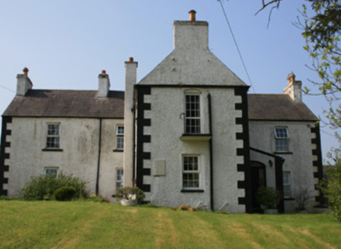
Lakelands (Clontibret)
Houses within 5km of this house
Displaying 3 houses.
Houses within 5km of Lakelands (Clontibret)
Displaying 3 houses.
| House name | Description | |
|---|---|---|
| Rockfield (Moysnaght) | A house on the Lucas estate, approached by a long avenue, it is marked on the 1st edition 6 inch Ordnance Survey map (1836). The extended house is named on the 25 inch map (surveyed 1908). In the mid-19th century it was occupied by Joseph Gray and valued at £14. John Gray and his family were resident in 1901. Occupied by William Morrison and his wife in 1911. A building is still located at this site. McSkane writes that this house was built around 1850 for Mr John Niblock and the Niblocks lived here until 1900 when it was bought by John Gray an RIC officer (local informant). A Letitia Niblock was resident in this townland in the mid-19th century. Later the home of James Agnew. | |
| Rockfield House (Avalreagh) | Rockfield House, a home of a branch of the Swanzy family, is named on the 1st edition 6 inch Ordnance Survey map (1836). Lewis refers to it as the residence of H. Swanzy. Henry Swanzy died in 1843 and his daughter Anne is recorded as the occupant in the 1850s when the house was valued at £14. Miss Kate Green Swanzy was the head of the household living here in 1901 and 1911. There was a name change to Avalreagh House at the beginning of the 20th century. McSkane writes that the Swanzy family lived here from the early 1700s until 1919 when it was bought by Larry Ward. | |
| Corratanty | An early 19th century house named on the 1st edition 6 inch Ordnance Survey map (1836) and located on the Templetown estate. A model farm was located here by the mid-19th century when the house was occupied by Andrew Hunter and the buildings valued at £23. David K. Hunter, farmer, was the occupier in the early 20th century. This house is still the centre of a working farm |

|

