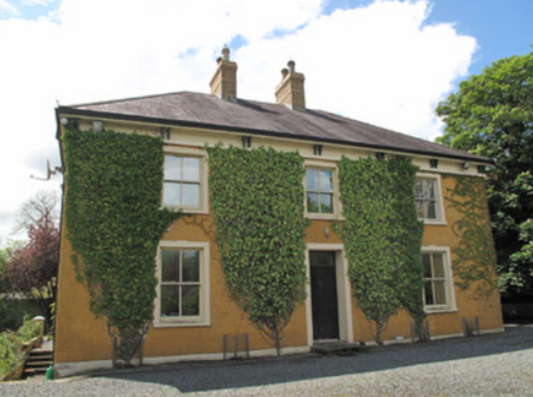
Shantonagh House
Houses within 5km of this house
Displaying 5 houses.
Houses within 5km of Shantonagh House
Displaying 5 houses.
| House name | Description | |
|---|---|---|
| Farm Hill | A house marked on the 1st edition Ordnance Survey map with a corn mill nearby. This house looks reduced in size on later maps. In the mid-19th century occupied by Hugh Swanzy and held from Thomas Rothwell. The house was valued at £15 with corn and flax mills and miller's house valued at £35. Part of the existing farmyard may date back to circa 1800. |

|
| Laragh (Aghnamullen) | A house originally associated with the linen industry, the Ordnance Survey Field Name Book refers to Laragh as the property of Mr W. Intire of Belfast, containing the residence of the proprietor of the bleaching green Mr Davidson. Lewis also records A. Davison as resident at Laragh. Eliza McKean was the occupant of the house valued at £20 in the mid-19th century. She held the property from George McTear. The National Inventory of Architectural Heritage indicates that the present house was built circa 1860 on the site of an older house. The McKean family were still resident in 1901 and 1911. The 'mansion house' had a rateable valuation of £20 in 1906 when James M'Kean held 142 acres of untenanted land in Laragh and Cornacarrow. |
|
| Cherry Vale (Aghnamullen) | Located at the southern tip of Lough Egish, Cherry Vale was situated in the midst of a linen manufacturing enterprise. Some deeds record George Crawford, linen draper, of Cherryvale at the end of the 18th century. Cherry Vale became part of the McTear of Belfast estate. The Ordnance Survey Field Name Book records the house as small with two stories. At the time of Griffith’s Valuation it was occupied by Thomas Johnston, who held it from Eliza McKean who in turn was leasing from George McTear. | |
| Lough Bawn House | Situated close to the shore of Lough Bawn a building at this location has been home to the Tenison family for three centuries. A family member now runs a forestry farm at Lough Bawn. Much of the original house built circa 1760 was destroyed by fire in the late 18th century. The present house dates from the early 19th century and incorporates some of the earlier building with subsequent enlargements. Lewis records the occupant as W. Tenison and Griffith’s records the house, valued at £30, as unoccupied. Still valued at £30 in 1906 when this house was occupied by Major William Tenison. |

|
| Farm Hill (Reduff) | A house marked on the 1st edition Ordnance Survey map with a corn mill nearby. This house looks reduced in size on later maps. Described in the Ordnance Survey Field Name Book as a ‘small 2 storied house with some scattered portions of plantation around it and extensive corn mill nearby’, occupied by ‘Mr Robinson’. In the mid-19th century occupied by Hugh Swanzy and held from Thomas Rothwell. The house was valued at £15 with corn and flax mills and miller's house valued at £35. Part of the existing farmyard may date back to circa 1800. This house and its yard buildings are now part of a working farm. |
|