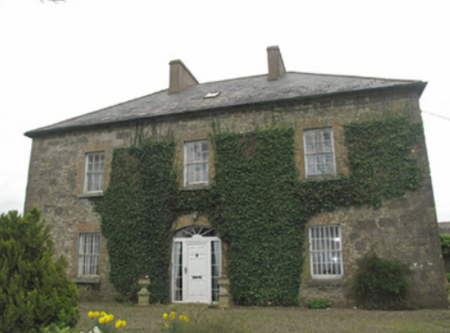
Fort Singleton
Houses within 5km of this house
Displaying 5 houses.
Houses within 5km of Fort Singleton
Displaying 5 houses.
| House name | Description | |
|---|---|---|
| Dungillick House | Dungillick House, the home of a branch of the Anketell family from at least the mid-18th century, is named on the 1st edition 6 inch Ordnance Survey Map (1836). The Ordnance Survey Field Name Book records the house as thatched. In the mid-19th century Matthew J. Anketell was recorded as the occupant. He held the property from Lord Cremorne. The buildings were valued at £20. Occupied by the Burgess family at the beginning of the 20th century. Dungillick was bought by the Land Commission in 1932 and the house was purchased by James McKenna in 1935. This house remains a family residence. |

|
| Mount Anketell/Spring Mount | Located on the Anketell estate and marked on the 1st edition 6 inch Ordnance Survey Map (1836), this house was the residence of George Olpherts and valued at £10 circa 1860. The house appears to have been unoccupied at the time of the censuses in 1901 and 1911 but was in the possession of the Moutray family of Fort Singleton. The 25 inch map (surveyed in 1908) records the name of this house as Spring Mount. It is no longer extant. | |
| Ivy Hill | A house located on the Anketell estate, marked on the 1st edition 6 inch Ordnance Survey Map (1836) with a walled garden. The house was described as ‘small but very neat being 2 stories high and built with rough stone’. In the mid-19th century the buildings were valued at £12 and John W. Johnston was the occupant. A building is still located at this site. | |
| Lough Emy | Lough Emy house on the Leslie estate was built in the mid-19th century. At the time of Griffith’s Valuation it was occupied by William V. Ryan and valued at £20. It retained this valuation in 1906. The 25 inch map (surveyed 1908) shows the house at the end of a long tree lined avenue with Emy corn mill close to the entrance. It was the home of the Kavanagh/Cavanagh family in the early decades of the 20th century. This house is completely demolished, the site is now a green area. | |
| Portinaghy House | Buildings are located at this site on the 1st edition 6 inch Ordnance Survey map (1836). In the mid-19th century the house was valued at £18 and inhabited by Mary Campbell, who held the property from Charles P. Leslie. In 1876, the representatives of Mrs Mary Campbell, Portinaghy, owned 211 acres in county Monaghan. Home of the Edwards family in the 20th century. |
|