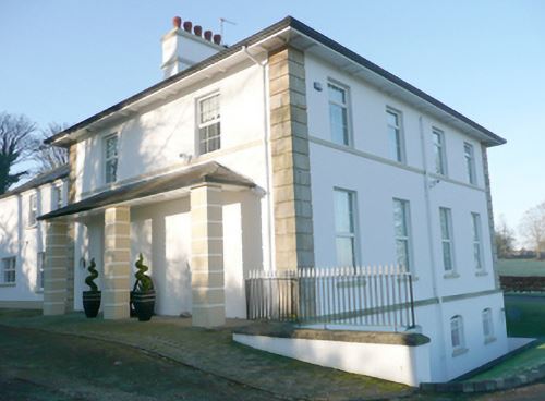
Killindarragh [Nassau Hall]
Houses within 5km of this house
Displaying 10 houses.
Houses within 5km of Killindarragh [Nassau Hall]
Displaying 10 houses.
| House name | Description | |
|---|---|---|
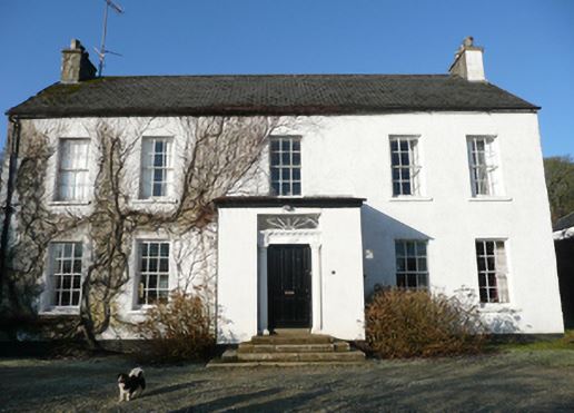
| Guystown (Raphoe) | At the time of Griffiths Valuation in the 1850s, Benjamin Humfrey was leasing this property from the Erne estate, when it was valued at £7. It was subsequently enlarged and is labelled Guystown on all editions of the Ordnance Survey map. The National Inventory of Architectural Heritage suggests it was originally built c.1720. It is still extant and occupied. | |
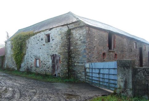
| Toberoneill | At the time of Griffiths Valuation in the 1850s, Joseph Henderson was leasing this property from the Earl of Erne's estate when it was valued at £12. The National Inventory of Architectural Heritage suggests the large scale outbuildings date from c.1860. There is an altered house at the site. |
|
| Shannon Middle | James Henderson was leasing this property from the Earl of Erne's estate at the time of Griffiths Valuation in the 1850s, when it was valued at £11. It is labelled Shannon Middle on all editions of the Ordnance Survey maps. Substantial farm buildings exist at the site now. | |
| Shannon (Raphoe North) | Samuel Gourley was leasing this property from the Erne estate at the time of Griffiths Valuation, when it was valued at £10. It is labelled Shannon on all editions of the Ordnance Survey maps. A farm is extant at the site. | |
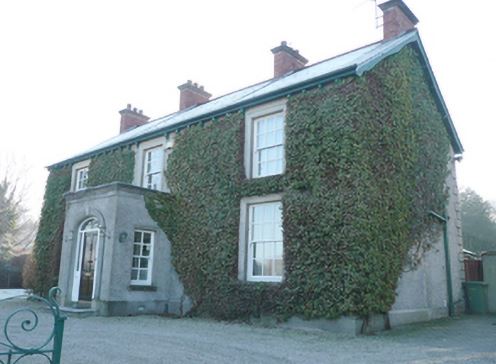
| Cavanacor | This property was held in fee by Benjamin [Humfrey] at the time of Griffiths Valuation, when it was valued at £33. Wilson referred to it as the seat of "Mrs Kays" in 1786. The National Inventory of Architectural Heritage suggests it was built about 177-, possibly incorporating part of a seventeenth century house. It is still extant and occupied. |
|
| Murlough (Raphoe North) | At the time of Griffiths Valuation in the 1850s, James Houston was leasing this property from the Earl of Erne's estate when it was valued at £10. On the 25-inch edition Ordnance Survey map the house on the site is labelled Manse. The National Inventory of Architectural Heritage suggests it was enlarged in the later nineteenth century, possibly when it came into use as the manse. It is still extant and occupied. |
|
| Ballyduff House (Raphoe North) | At the time of Griffiths Valuation, William Clarke was leasing this property from the Knox estate when it was valued at £17. It is still extant and occupied. |
|
| Croghan House (Raphoe North) | At the time of Griffiths Valuation, James Cochran was leasing this property from Joseph Scott when it was valued at £55. It was constructed after the publication of the 1st edition Ordnance Survey map of the 1830s and is labelled Croghan House on later editions. It is still extant and occupied. |
|
| Belmount (Raphoe North) | Robert Lowry was leasing this property from William Clarke's estate at the time of Grffiths Valuation in the 1850s, when it was valued at £25. The property was extant until the 1990s when modern housing was constructed on the site. | |
| Laurel Bank/Holly Bank | This house, originally known as Laurel Bank, is named on the first edition six inch Ordnance Survey map (publ. 1837). It is shown in a demesne which included an old bleach mill and a corn mill and kiln. It is believed to have been built by a mill owner in the 18th century. Griffith’s Valuation records William Norton as the occupant holding the property valued at £8.10.0. from the Earl of Gosford. The house is called Holly Bank on the 25 inch map. Altered and added to in the 20th century it continues to be a residence. |