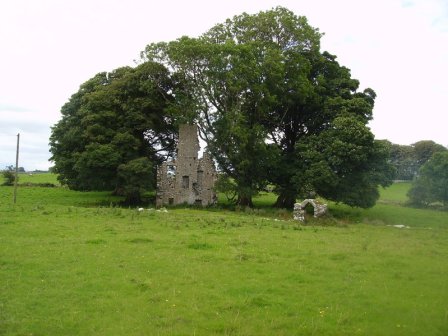
Cloonboy House
Houses within 5km of this house
Displaying 7 houses.
Houses within 5km of Cloonboy House
Displaying 7 houses.
| House name | Description | |
|---|---|---|
| Streamstown | William Coghlan was living at Streamstown, near Claremorris, in 1814. In the 1830s the townland is noted as belonging to Mr. Gonne Bell of Farmhill, Claremorris. By the time of Griffith's Valuation there is no house with a significant valuation in the townland. | |
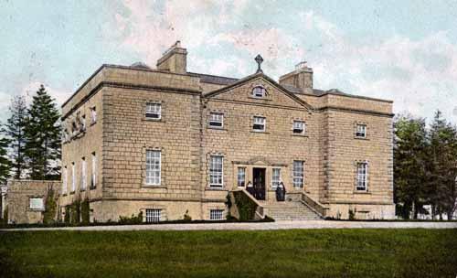
| Claremount | Built in the 18th century, this house was the home of George Browne, third son of the 1st Earl of Altamont, in the 1760s. His daughter and heiress married Dominick Browne of Castlemagarret and ownership of Claremount appears to have passed to the Castlemagarret Brownes. The Kirwans and Denis Browne of Westport lived in the house in the late 18th and early 19th centuries. It was bought by Murray McGregor Blacker from Lord Oranmore and Browne in 1858 for £4,250. Blacker owned the house until 1874. In 1877 the house and about 313 acres were sold to the local parish priest by Thomas D. Maguire for the purpose of establishing a Convent of Mercy. The nuns ran a girls' secondary school in the house. In October 1906 just over 300 acres of Claremount was vested in the Congested Districts' Board. |
|
| Curraghleagh Lodge | The O'Moore sales rental of 1852 states that Isidore Bourke held Murneen North by a lease dated 1844, for 500 years. At the time of Griffith's Valuation he was leasing this property from Garret O'Moore when the house was valued at £30. This building is labelled Curraghleagh Lodge on the 25-inch Ordnance Survey map of the 1890s. A building much reduced in size is visible at the site. | |
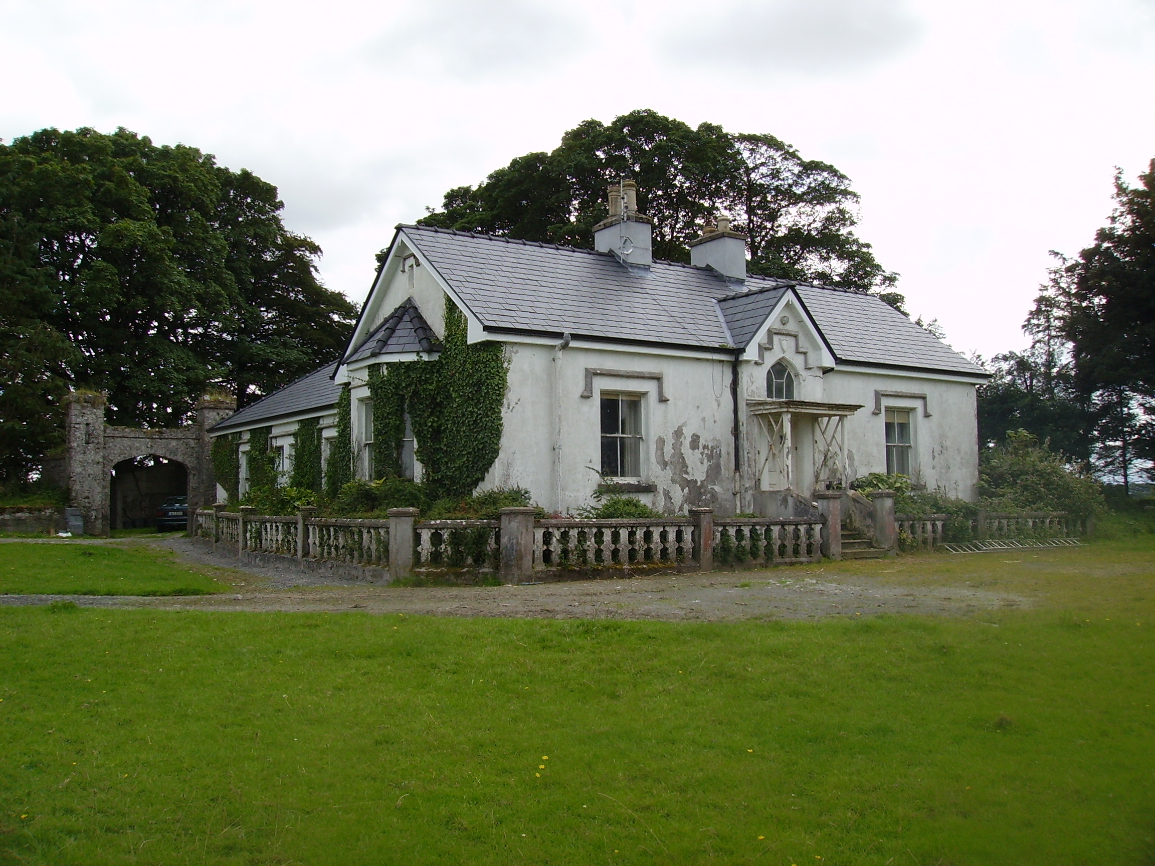
| Brees/Brize | The original castle was the home of the Moore family in the 17th century. A house was later built which was the home of the Coghlan family in the early 19th century and was occupied by John and Mathew Anderson at the time of Griffith's Valuation, see http://familyhistory.oram.ca/burrishoole/?page_id=1345 . A house is still extant at this site. |
|
| Cappagh | Cappagh was occupied by James Tighe at the time of Griffith's Valuation when the house, valued at £4, is described as a herd's house. It was built some time before the publication of the 1st edition Ordnance Survey map of 1838 and is still extant and well-maintained. |
|
| Coarsefield | The Grays were in possession of Coarsefield by the late 1830s. The present house was probably built by the Tighe family who bought Coarsefield from the Grays and sold it to the Stephens family in the early 20th century. |
|
| Oory/Coarsefield | It is probable that the townland of Coarsefield was part of Oory in the 18th century and that Oory was divided into two townlands at the time of the first Ordnance Survey. The remains of an old house are still visible at Coarsefield, close to the present house, and it is believed that this was Oory House, home of the Bourkes and later owned by the Nettervilles. In 1814 "Course-field" belonged to James Netterville. The sales rental of the Gray estate of Coarsefield in 1861 refers to one wall remaining of the old Netterville house. |
|