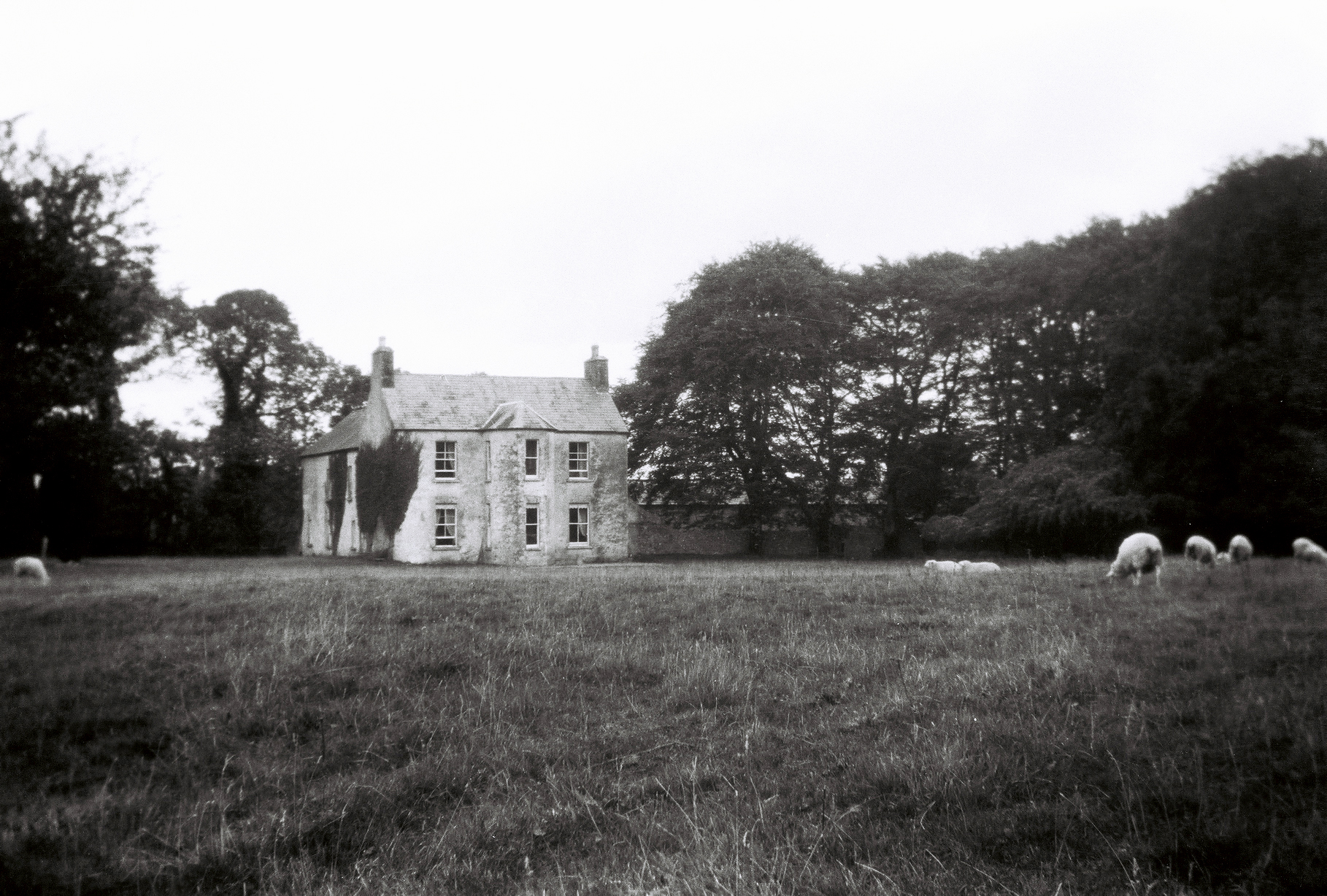
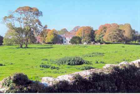
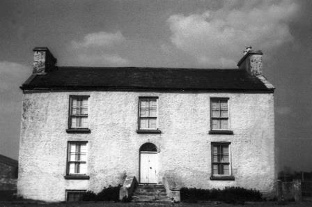
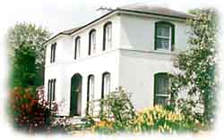
Woodquay Lodge
Houses within 5km of this house
Displaying 10 houses.
Houses within 5km of Woodquay Lodge
Displaying 10 houses.
| House name | Description | |
|---|---|---|
| Thomastown | At the time of Griffith's Valuation, Thomastown House, barony of Clare, was occupied by James Clarke and valued at over £10. The National Inventory of Architectural Heritage indicates that this is a two-phase house, the original part dating from the early eighteenth century. It is still extant and occupied. |
|
| Sylaun | Descriptions indicate that Sylaun House, which was valued at £7 at the time of Griffith's Valuation, was a single storey, thatched structure. No trace now remains of the house though other estate architecture is visible. | |
| The Grove | A house on the outskirts of the town of Tuam, occupied by Mrs Cheevers in 1814 and by Patrick Kelly at the time of Griffith's Valuation, who held it from Martin S. Kirwan. Earlier, in 1786, Wilson refers to it as the seat of Martin Kirwan. The house was described in the sale rental of the early 1860s as having two large reception rooms, eight bedrooms and two water closets. Run as a hospital by the Bon Secour Sisters 1945-2001. | |
| Carrowbeg House | A former Bodkin house, the home of the Lynch family in the second half of the 19th century and early part of the 20th century. It was held in fee by Dominick Lynch at the time of Griffith's Valuation when it was valued at £8. It is still extant and in use. |
|
| Newgarden | The home of Edward Burton, Rector of Annaghdown and Vicar General of Tuam in the latter part of the 18th century. Occupied by Mrs Smith in 1814, in the 1830s by Roderick O'Connor and in the 1850s by Richard Jennings. In the Ordnance Survey Name Books it is decribed as a pretty lodge, the residence of the proprietor Lieutenant Daniel Smith. A modern house and some old farm buildings are still visible at the site. |
|
| Kilcloghan | A house in the townland of Mount Potter, marked as Thornhill on the First edition Ordnance Survey map but as Kilcloghan House on the 25-inch map of the 1890s. Occupied by Charles Blake junior in 1850 and held from Jeremiah Tully. Subsequently the home of Arthur Netterville Blake. A modern house exists at the site now. | |
| Gardenfield | Home of a branch of the Kirwan family from the late 18th century to the mid 20th century. The original house was replaced by the present house circa 1870. Following the death of Edward Kirwan the estate was divided by the Land Commission in the 1950s. Gardenfield House is now a bed and breakfast. http://www.corrib.net/BedBC14.htm |
|
| Ballygaddy | Occupied by Kirwan esq in the 1770s and in 1786. It was the residence of Thomas Lally in 1814 and, from the 1830s, of John Daly, who held it from Nesbitt Kirwan. The house was valued at £5 at the time of Griffith's Valuation. The site is now occupied by farmbuildings. | |
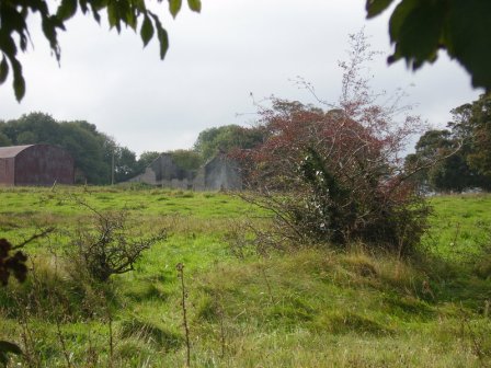
| Wilford | Occupied by W. Lindsey in 1837. A roofless ruin now occupies the site. |
|
| Cloonmore | At the time of Griffith's Valuation the house was valued at £3 and was held in fee by Charles Grant.It is labelled Cloonmore on both the 1st and 25-inch edition Ordnance Survey maps but is no longer extant. |