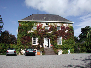
Ballyglasheen
Houses within 5km of this house
Displaying 10 houses.
Houses within 5km of Ballyglasheen
Displaying 10 houses.
| House name | Description | |
|---|---|---|
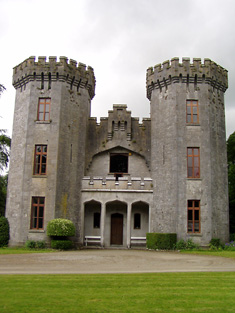
| Anner Castle | Marked on the first Ordnance Survey map as Ballina House, this residence of the Reverend Nicholas Manderville was valued at £46+ and held by him in fee in the early 1850s. Bence Jones writes that Anner Castle was built in the 1860s "incorporating the old square castle of the Manderville family which had up till then been known as Ballinahy". It was destroyed by fire in 1926 and only the front portion was rebuilt. The Mandervilles were still resident in the 20th century. This property was sold in 2013. |
|
| Ballydine | The Mandevilles were situated at Ballydine from the 14th century. Ballydine Castle was sold to the Earl of Clonmel in 1781 and members of the Power family lived there in the first half of the 19th century, William Power in 1814 and James Power in the early 1850s. The Powers and the Mandevilles were related. A lithograph of the house is included in the Power sale rental of 4 November 1853. ''Burke's Irish Family Records'' records Frank Hackett Mandeville (1841-1905) as the last family member to live at Ballydine. He was Member of Parliament for mid Tipperary 1892-1900 and died at Ballydine Castle in 1905. Mary Lyons records the Landy family as resident from 1855-1901. | |
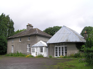
| Kilheffernan/Cottage | Thomas Ryan was the proprietor of Cottage, Clonmel, in 1814 and Lewis records T. Ryan of Cottage, parish of Killaloan. At the time of Griffith's Valuation Patrick Fennelly held the house valued at £10.13 shillings from Thomas Ryan. Altered over the years this house is still in use as a residence. |
|
| Lindville | A house named Lindville is marked on the first Ordnance Survey map in this townland close to the bank of the River Suir. At the time of Griffith's Valuation it was valued at £16+ and occupied by Thomas Lindsey who held it from William Butler. No building is now extant at this site. | |
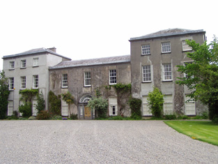
| Newtown Anner | The seat of the Osborne family, held by R.B. Osborne MP in fee in the mid 19th century when the buildings were valued at £56+. Inherited by 12th Duke of St Albans, grandson of R.B. Osborne. Occupied by the Duchess of St Albans in 1906 and still in this family's possession in the early 1940s. The Irish Tourist Association survey states that the Osbornes bought the property from Clonmel Corporation in 1774. The National Inventory of Architectural Heritage dates this house 1829. It continues to be in use as a residence. |
|
| Ballyknockane | Marked on the first Ordnance Survey map as Ballyknockane Cottage, valued at £21 and occupied by Walter Asper at the time of Griffith's Valuation. He held the property from the Marquess of Ormonde. In 1894 Slater noted it as part of the latter estate. This building no longer exists. | |
| Ballyboe | A house valued at £17+ in the mid 19th century when it was occupied by James O'Donnell and held from Lord Lismore. This house is still a family residence. |

|
| Glen Lower (Dysert) | Leased by Patrick Hurley from John Congreve's estate at the time of Griffith's Valuation, when the buildings were valued at £11 10s. This appears to be the property known as Glen Castle House taking its name from castle ruins nearby. A house is still extant at the site. | |
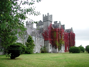
| Gurteen Le Poer/Gurteen House | Held in fee by John Power in 1850 when it was valued at over £96. In 1837 Lewis noted Gurteen as the seat of E. Power. Count Edmond de la Poer was the owner in 1894 and 1906 when the house was valued at £87. By the later nineteenth century it had come to be called Gurteen Le Poer, the name by which it is still known. |
|
| Landscape House | John Congreve held Landscape in fee in 1850 when it was valued at almost £20. Lewis also refers to it as a seat of the Congreve family in 1837. However, by 1906 Congreve's buildings at Landscape were only valued at £2. Landscape House is still extant and occupied. |
|