Mount Kennedy
Houses within 5km of this house
Displaying 6 houses.
Houses within 5km of Mount Kennedy
Displaying 6 houses.
| House name | Description | |
|---|---|---|
| Kilrossanty Mill | In 1851, Mrs. Mary Callaghan was leasing this property, which included a corn mill, from Sir Edward Kennedy's estate when it was valued at £11 10s. The mill building is still extant. |
|
| Carrigmoorna House | In 1851 Thomas P. Sherlock held this property from Sir Edward Kennedy's estate when it was valued at £16. On the 25-inch Ordnance Survey map of the 1890s it is named Carrigmoorna House. A modern house appears to occupy the site. |
|
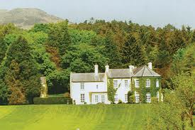
| Comeragh House | At the time of Griffith's Valuation, Col. Wray Palliser was leasing this property from Phineas Hunt, when it was valued at £28. It is recorded as the address of John Palliser in the 1870s. Though badly damaged by fire in 1923, Comeragh house was restored and is still extant. The ITA survey of 1942 noted it was in the ownership of Captain Fairholme at that time. It was offered for sale in 2010. |
|
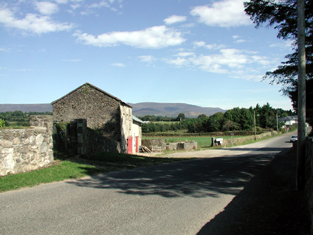
| Briska House | Leased by Robert Acheson from Col. Palliser in 1851 when it was valued at £11. On the 25-inch Ordnance Survey map of the 1890s it is named Briska House. A house is still extant at the site. | |
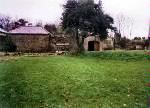
| Glenview {?}/Comeragh-house B | In 1851, Rev. William Ardagh was leasing a property adjacent to Comeragh House from the Palliser estate when it was valued at almost £10. A house and farm buildings are still extant at the site. Walford gives Rev. Ardagh's address as Glenview which may refer to this house. | |
| Cutteen House | Phillip Coffey held this property from Edward Gallwey at the time of Griffith's Valuation when it was valued at almost £10. He also held an estate of over 1200 acres there. The 25-inch Ordnance Survey map of the 1890s names the property as Cutteen House. |