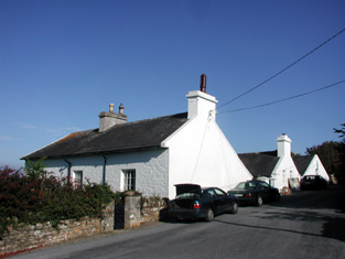
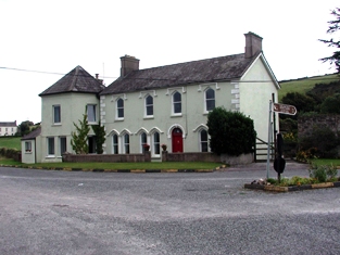
Ardocheasty
Houses within 10km of this house
Displaying 32 houses.
Houses within 10km of Ardocheasty
Displaying 32 houses.
| House name | Description | |
|---|---|---|
| Glenally | A house valued at £15 and held with 6 acres by James Wallis from Mary Allen at the time of Griffith's Valuation. This house is named Glenally on the first Ordnance Survey map. | |
| Clashadonagh [Frogmore] | James Barry held an unoccupied house in the townland of Glanaradotia valued at £20 at the time of Griffith's Valuation. It is labelled Clashadonagh on the 1st edition Ordnance Survey map but as Frogmore House on the 25-inch map of the 1890s. It is now a ruin. | |
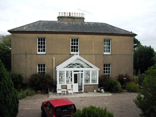
| Mistletoe Castle | Marked as Eustace's Castle on the first Ordnance Survey map and apparently straddling the boundary between Cooperalley and Greencloyne, this house was the residence of John Conroy Browne in the second half of the 19th century. At the time of Griffith's Valuation the buildings were valued at £25 and held from William Fitzgerald. J.C. Browne of Mistletoe Castle owned 16 acres in county Cork in the 1870s. The house is stated to have been built in the 1770s as a summer residence for the Villiers-Stuart [Stuart] family. |
|
| Seafield | The home of Mr John Hudson in 1814 and of Thomas Seward in the early 1850s. Seward held the property from Lord Stuart de Decies and it was valued at £24. The National Inventory of Architectural Heritage suggests it was built in the latter decades of the 18th century. It has recently been under renovation. |
|
| Myrtle Grove | Myrtle Grove, a Tudor manor house, associated with Sir Walter Raleigh and the sixteenth-century poet, Edmund Spencer At the beginning of the 17th century it was sold to Richard Boyle, 1st Earl of Cork, and later became the property of the Hayman family, who owned it in the 18th and early 19th centuries. In 1837 Lewis writes that it was inhabited by Colonel Faunt. Later occupants include Joseph Wakefield Pim, Sir John Pope Hennessy and the Arbuthnot family. Now in private hands this house is open to the public on certain days in the year. |
|
| Odell Lodge/Melrose House | Leased by Rev. Thomas Thurtle from the O'Dell estate in 1851 when it was valued at £18 10s. The National Inventory of Architectural Heritage indicates it was later known as Melrose House. In 1942 the ITA survey noted the property as the Melrose Hotel, formerly Odell Lodge. The survey states that it was built by the Odell family as a summer residence. It is still extant and occupied. |
|
| Rock House (Ardmore) | Richard Usher was leasing this property from the O'Dell estate in 1851 when it was valued at £18. Though the building is still visible it is not named on the later 25-inch Ordnance Survey map. The National Inventory of Architectural Heritage suggests it may once have been three houses that were amalgamated into one property, possibly in the early nineteenth century. It is still extant. |
|
| Dysert (Ardmore) | Rev. Ambrose Power was leasing a property from the O'Dell estate in 1851 which was valued at £12. | |
| Ardmore or Monea House | Simon Bagge was leasing this property from the Ecclesiastical Commissioners in 1851 when it was valued at £33. It is labelled as Ardmore House on the 1st edition Ordnance Survey map and as Monea House on the later 25-inch edition. The ITA survey indicates that it was sold by John Leonard Bagge in 1921 and subsequently became an Irish college. | |
| Laurentum | At the time of Griffith's Valuation, Richard Coughlan was leasing this property from the Villiers-Stuart estate, when it was valued at £11. It does not appear on the 6-inch Ordnance Survey map but is named as Laurentum on the later 25-inch map. There is still an extant house at the site. | |
| Ballynamultina House | Francis Kennedy was leasing this property from the Mansfield estate at the time of Griffith's Valuation, when it was valued at £18 10s. Leet also refers to it as his residence in 1814. Smith states it was the seat of Mr. Mansfield in the late eighteenth century. A house is still extant at the site. | |
| Clashmore | Clashmore was held in fee by the Earl of Huntingdon at the time of Griffith's Valuation, when it was valued at £34. The site marked on the 1st-edition Ordnance Survey map is not that recorded on the later 25-inch map. Smith refers to the earlier house as the seat of Mr. Power and Wilson refers to it as the seat of Richard Power in 1786. The Irish Tourist Authority Survey of the 1940s suggest the later house was never fully completed and by then had all but disappeared. Much of the extensive farmyard, however, is still extant and in use. |
|
| Bayview (Clashmore) | Rev. Michael Purcell was leasing this property from Lord Decies estate in 1851 when it was valued at £12. There is still an extant house at this site. | |
| Rockview (Clashmore) | Leased by Richard Bayley from the Villiers-Stuart estate at the time of Griffith's Valuation, when it was valued at almost £7. It is labelled Rockview on both the 6-inch and 25-inch Ordnance Survey maps. There is still an extant house at the site. | |
| Glenlicky Mill | At the time of Griffith's Valuaton Rev. James Elliott was leasing this substantial property to Thomas Page, when it was valued at £44. It included a house and mill. Noted on the 25-inch Ordnance Survey Map of the later nineteenth century as Glenlicky Mill. The buildings are now ruinous. | |
| Lackendarra House | In 1851, Mrs. Eleanor Fitzgerald was leasing this property from Rev. James Elliott when it was valued at £11 5s. In 1894 it appears to have been occupied by a Russell family. | |
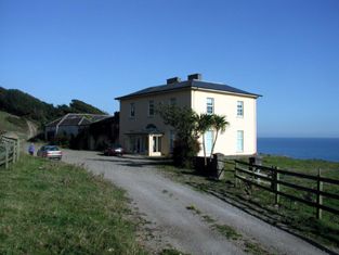
| Monatray | In 1851 Pierce S. Smith [Smyth), a minor, held Monatray in fee when it was valued at £35. In 2013 it was offered for sale. The sale details suggest it was built by Percy Smyth of Headborough as a summer residence in the 1830s. In the twentieth century it was occupied by a religious order and later a country house club before returning to private ownership in the 1980s. In recent years the house name is spelt Monatrae. In 2014 Monatrae was offered for sale. |
|
| Newtown House (Kinsalebeg) | Built after the first Ordnance Survey, Michael Kennedy was leasing this property from the Smyth estate in 1851 when it was valued at £13 10s. It is noted on the 25-inch Ordnance Survey Map as Newtown House. There is still an extant house at the site. | |
| Pilltown House | Declan Tracy was leasing this property from the Kennedy estate at the time of Griffith's Valuation, when it was valued at over £12. Smith refers to it as "Pilltown, not long since the estate of the Walshes". The house is labelled Pilltown House on the 25-inch map of the 1890s. It is no longer extant. Tracy is noted as the owner of over 450 acres in county Waterford in the 1870s. A substantial mill, valued at £39, in the same townland was being leased by Peter Moore Fisher [X129800]. It was included in the sale of Fisher property in the Landed Estates Court in November 1865. The mill appears to have fallen into disuse by the end of the nineteenth century though the ruins remain. | |
| Mayfield (Kinsalebeg) | In 1851 Thomas P. Carew was leasing this property from the Smyth estate when it was valued at over £20. A house labelled Mayfield appears at this location on the 1st edition Ordnance Survey map. In 1837 Lewis noted it as the seat of J. Gee. It is still extant and occupied. |
|
| Prospect Villa (Kinsalebeg) | Prospect Villa seems to have been built in the later nineteenth century, close by an earlier house known as Mayfield. A house at Prospect Hall is described by Smith as "a handsome seat with good improvements made by the late Stephen Bernard" In 1786 Wilson refers to "Prospect Hall" as the seat of Mr. "Barnet". There is still an extant building at the site. |
|
| Woodbine Hill | George Roche held this property from the Smyth estate in 1851 when it was valued at over £26. Local sources suggest it was built by him earlier in the nineteenth century. It is still extant and occupied. |
|
| Glencorran | In 1851 Richard Fuge was leasing this property from Lord Decies estate when it was valued at £23. A building, to which alterations have been made, still exists at the site. | |
| Glenwilliam (Decies) | In 1851, Reverend Garrett Prendergast was leasing this property from Richard Fuge, when it was valued at £15. Local sources suggest Reverend Prendergast was the parish priest of Ardmore during and after the Famine. A house and substantial farm still exist at Glenwilliam. | |
| Paulsworth | At the time of Griffith's Valuation, Mrs. Maryann Paul was leasing this property to John Power, when it was valued at almost £24. The house is still extant and occupied. |
|
| Cappagh (Decies-within-Drum) | In 1851 James Gee was leasing this property from Lord Decies estate when it was valued at £19. This area has been subjected to severe coastal erosion and these buildings are no longer extant. | |
| Clashanahy | Sir Richard Musgrave held this property on lease from the Decies estate at the time of Griffith's Valuation, when it was valued at almost £18. There is still an extant property at this site. | |
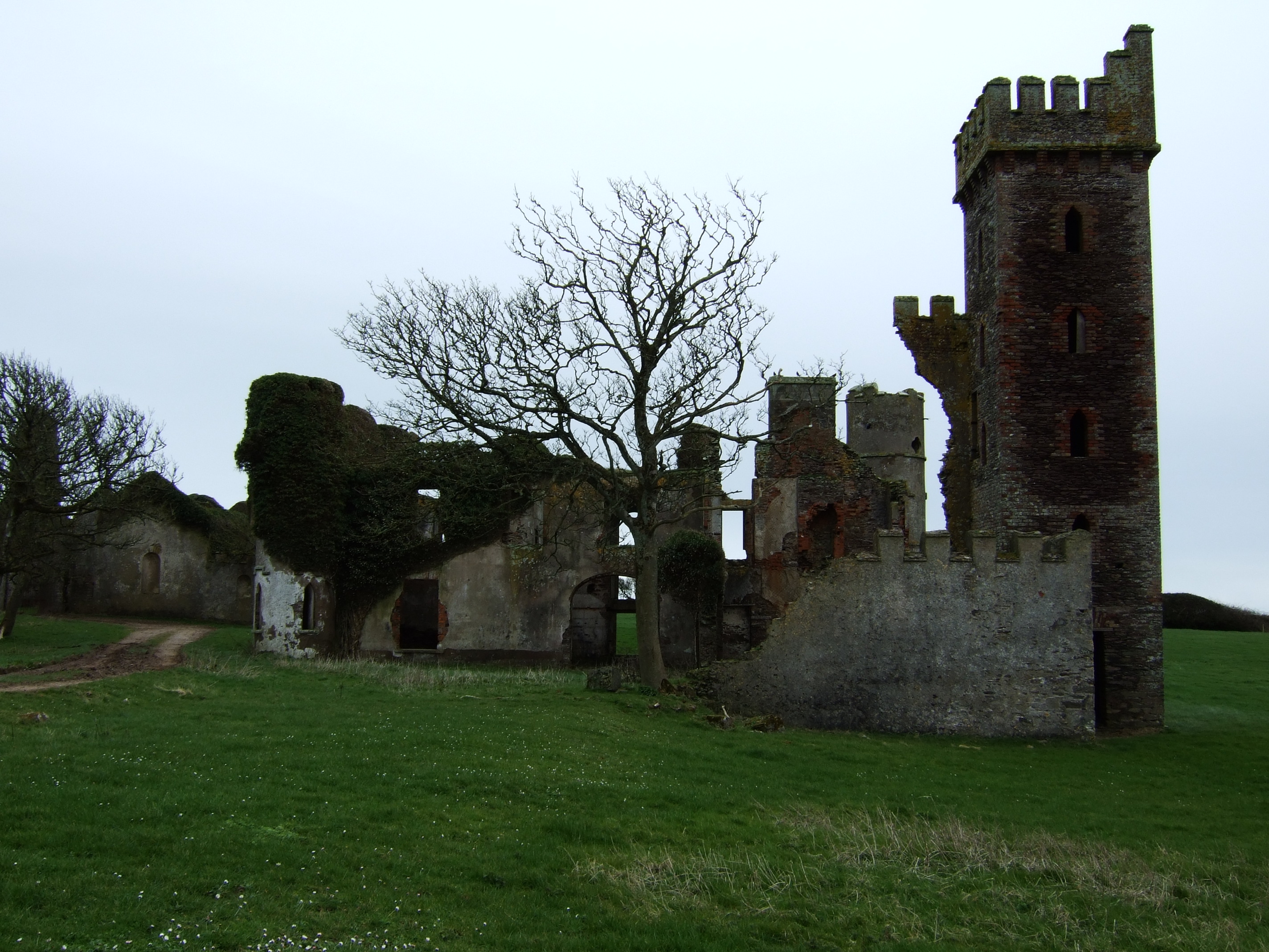
| Ardoginna House | Leased by Sir Joseph Neale McKenna from the estate of the Duc deCastres until its sale in 1864, when it was bought by McKenna. Formerly a residence of the Coghlan family. Eliza, a daughter of this Coghlan family, married the Duc deCastres. Ardoginna was owned by the McKenna family until the early twentieth century. It was briefly used as an Irish college before the purchase of Monea House for that purpose. Brady notes that it is now a ruin. In the 1780s, both Taylor and Skinner and Wilson had noted a house called Grey Rock as a residence of the Coghlan family in this area. |
|
| Lackandarra Lodge | At the time of Griffith's Valuation, Richard Chearnley held this property in fee when it was valued at almost £10. On the 25-inch Ordnance Survey Map of the 1890s it is labelled Lackandarra Lodge. A farm is still extant at the site. | |
| Lackandarra A | Mrs. Eleanor Power was leasing this property from the Chearnley estate at the time of Griffith's Valuation, when it was valued at £9. There are still buildings extant at the site. | |
| Clifton | Situated on the coast just south of Youghal, Clifton was occupied by Sir William Homan in 1837. Griffith's Valuation records John Keily junior as resident when the house was valued at £62. Buildings are still extant at the site. | |
| Green Park | Captain H. Parker of the Royal Navy was resident at Green Park in 1837. By the time of Griffith's Valuation William Carberry was the occupier holding the building valued at £38 from Pim Jackson. Extensive modern building has occurred in this area. |