Burnbrook
Houses within 5km of this house
Displaying 7 houses.
Houses within 5km of Burnbrook
Displaying 7 houses.
| House name | Description | |
|---|---|---|
| Crannagh House | The main residence of the Walsh family in the 18th century. At the time of Griffith's Valuation occupied by Philip Hayes who held the house from William Potts. It is labelled Crannagh House on the 1st edition Ordnance Survey map but is not shown on the later 25-inch edition of the 1890s. | |
| Mounthussey | The home of the Hussey Walsh family, valued at £4 at the time of Griffith's Valuation. The later 25-inch map of the 1890s shows a much larger house at Moynure. A house still exists on the site. | |
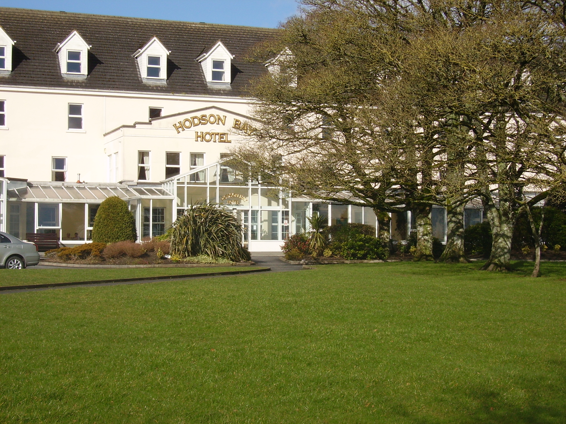
| Hodson Bay | The home of the Hodson family on the shore of Lough Ree. At the time of Griffith's Valuation occuppied by Leonard Hodson junior and Samuel Hodson, who held from the Court of Chancery. Now greatly expanded and functions as a hotel. |
|
| Lissygreaghan | Held in fee by J. P. Gannon at the time of Griffith's Valuation when the house was valued at £4.10 shillings. | |
| Larkfield House | Built circa 1780, this house was the home of Joseph Sproule at the beginning of the 19th century. Bought by Edward Larkin in 1839 and sold to John Holton in 1873. A succession of owners followed until it was bought by the Naughton family in 1923. | |
| Woodberry House | In the possession of Richard Bermingham in the mid 18th century, when he sold it to Philip Parker of Erris, county Mayo and his wife, Maria Kelly. It appears to have remained in Parker ownership until purchased by the Holton family in the 1850s. Now owned by Louis Walsh. | |
| Cuilleen House | A branch of the Naghten family lived at Cuilleen in the 1830s. Malachy Naghten of Cuilleen died in 1865 aged 63 and is buried in Drum Old Cemetery. The house is labelled Cuilleen House on the 1st edition Ordnance Survey map of the 1830s but is not shown on the later 25-inch edition of the 1890s and no trace is visible now. |