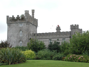
Ardmullan
Houses within 5km of this house
Displaying 9 houses.
Houses within 5km of Ardmullan
Displaying 9 houses.
| House name | Description | |
|---|---|---|
| Moyvannan Castle | 16th century tower house with late 19th century extension. In the sale rental of the Domvile estate 1865 it is described as a handsome and commodious residence. In 1986 Moyvannan was restored by Don Panoz, Chairman of the Elan Corporation. |
|
| New Park | A Lyster home from the early 18th century, inherited by the Smyths of Barbaville through marriage. Held in fee and valued at £38 at the time of Griffith's Valuation. The home of Marcus Anthony Levinge in 1906. The house remained in Levinge hands until about the 1940s when the roof was removed. In the early 1970s the house was restored as a hotel by Paddy Kenny. |

|
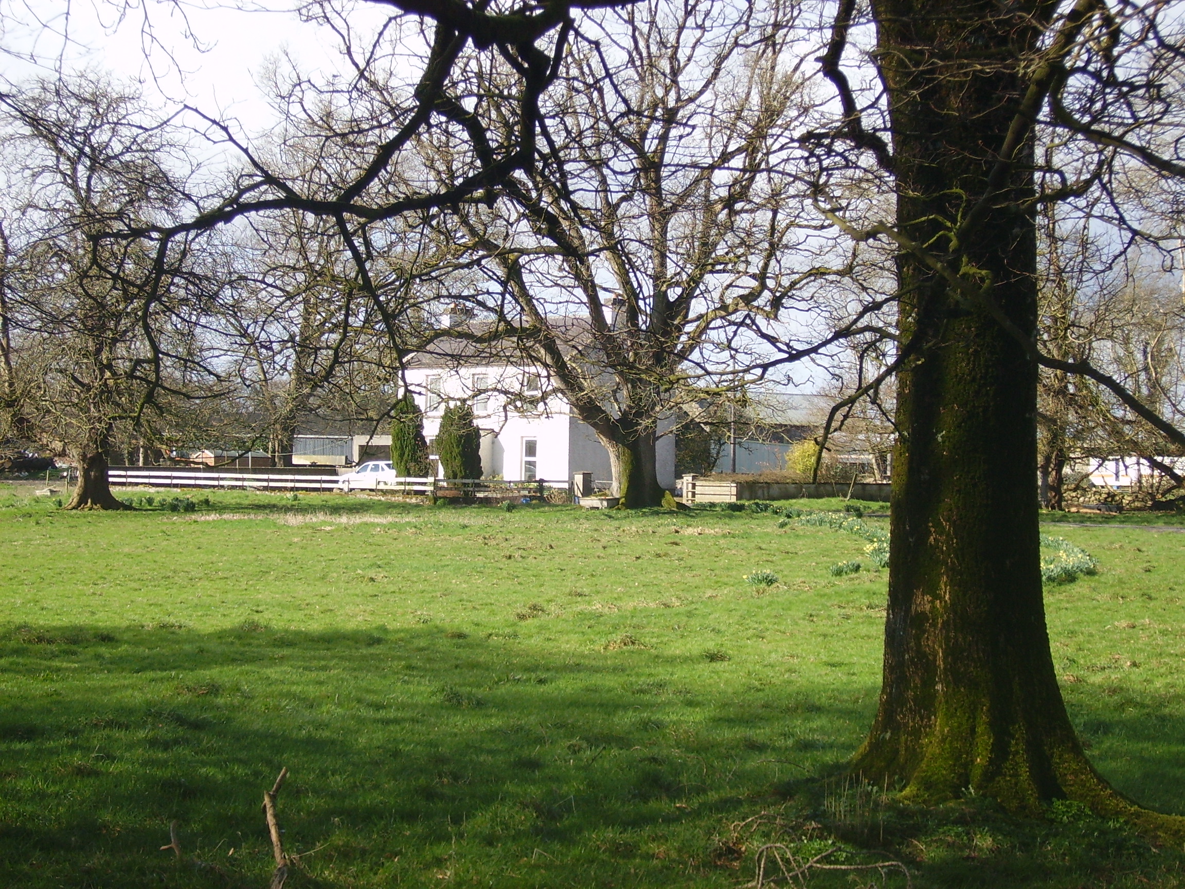
| Camma Lodge | A home of the St George family in the 19th century. A house is still occupied at the site. |

|
| Curraghboy House | Occupied by J. Byrne or Burne in the 1830s and by Thomas W. Jefferson at the time of Griffith's Valuation and still a family residence. |
|
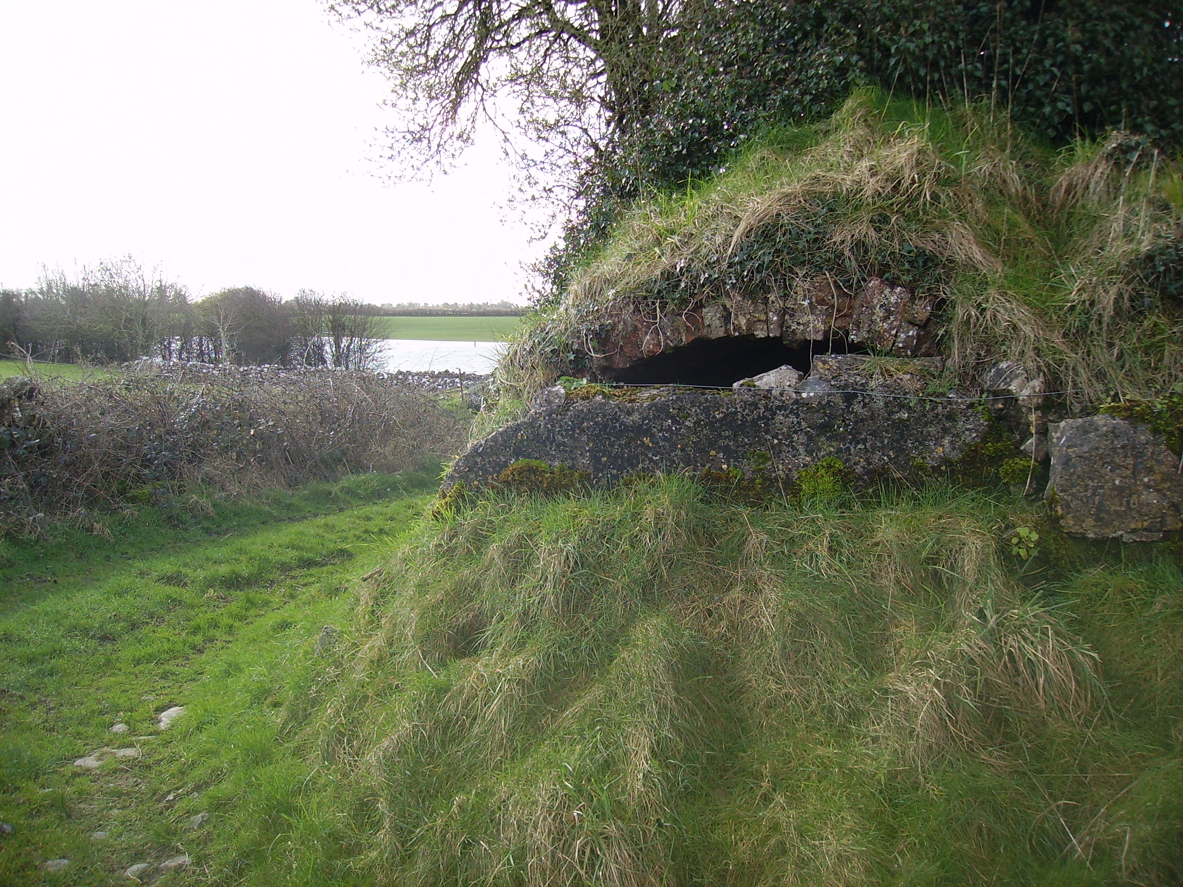
| Lysterfield | Originally a Lyster property that later came into the possession of Lord Ashtown, a descendant of Anthony Lyster. The home of members of the Lyster family until the mid 1830s and occupied by Mr John Burne at the time of the first Ordnance Survey and by Henry Trench in the 1850s. Nothing now remains except some red bricks, possibly part of a fireplace, at the corner of a farmyard. |
|
| Lissygreaghan | Held in fee by J. P. Gannon at the time of Griffith's Valuation when the house was valued at £4.10 shillings. | |
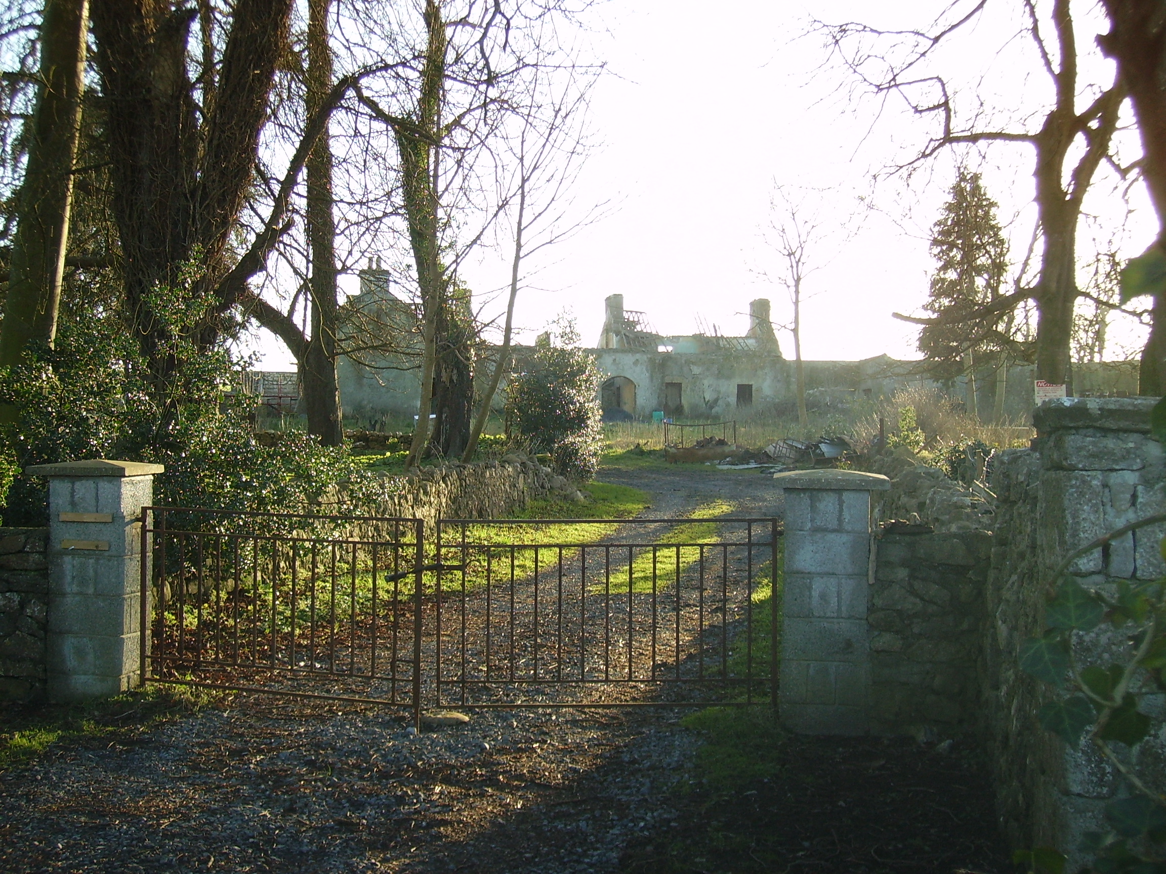
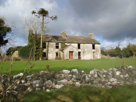
| Kiltoom | Crofton Kelly bought or acquired the Kiltoom property where he built a house in the mid 18th century. Occupied by Thomas H. Strevens who held a number of townlands from Sarah Kelly at the time of Griffith's Valuation and left to him at her death. Kiltoom remained a Strevans home until the 1970s, now a derelict building. |
|
| Rockhill | Occupied by John Burne in 1814 and described as a tolerably good farmhouse at the time of the first Ordnance Survey. Occupied by E. Hodson in 1837 and by Thomas Wilson who held it from James Wilson in the 1850s. Thomas Wilson was still resident in the 1870s. |
|
| Gort | A home of the O'Kellys in the mid 18th century. Occupied by "Doyle esquire" in 1778 and 1786 and by Simon J. Dowell in 1814. The house is labelled Gort on the 1st edition Ordnance Survey map but is not named on the 25-inch edition of the 1890s. The townland was in the possession of Elizabeth Dowell at the time of Griffith's Valuation when she was leasing a house valued at £4 10s to Michael Kelly. Some ruins exist at the site now. |