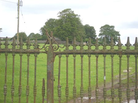
Coolderry
Houses within 5km of this house
Displaying 14 houses.
Houses within 5km of Coolderry
Displaying 14 houses.
| House name | Description | |
|---|---|---|
| Thornfield | Occupied by John Mahon at the time of Griffith's Valuation and held from the Kellys. The sales rental of 1863 includes a lithograph of Thornfield which was sold privately to Christopher Bagot. It continued to be occupied by the Mahon family until 1917, when it was taken over by the Land Commission, Henry English inhabited the house until the 1950s. This house on the Galway/Roscommon border now appears to be a ruin, with a substantial garden wall still intact. |
|
| Mount Talbot | Built circa 1750, Mount Talbot is recorded by Wilson as "the fine seat of William J. Talbot" in 1786. It was enlarged by William Talbot in the 1820s. The house was valued at £70 at the time of Griffith's Valuation. A nursery business operated in the gardens in the 1890s. Burnt in 1922 and now a ruin. |
|
| Keenagh | Described at the time of Griffith's Valuation as a steward's house, held in fee by Percy Magan and valued at £4.10. The ruins of the building still exist at the site. |

|
| Lackan | Occupied by James Lyster in 1814 and by Patrick McDonnell at the time of Griffith's Valuation. The house is modernised and still used as a family home. |

|
| Rahara | In the 1830s and at the time of Griffith's Valuation the home of Alexander Sproule who held Rahara from the Blake Knox family. The house was originally a thatched one storey building. On the night of the Big Wind in 1839 the thatch was blown away and the house was rebuilt with an additional storey and a slate roof. Now the home of the Donnelly family. |

|
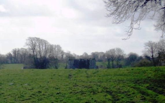
| Longfield | The Sproules were settled at Longfield from the late 17th century. At the time of the first Ordnance Survey described as a house of small dimensions with ruins attached on the south side. Lewis records Longfield as the residence of P. Sproules. The house is now a ruin. |
|
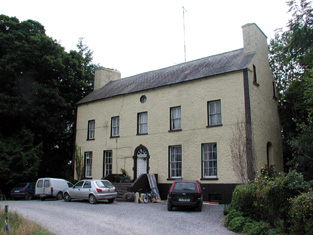
| Bushy Park | Early 18th century house, used as a school for the sons of Protestant clergymen. Occupied by Andrew Lyster in 1814. The residence of James Barlow in the 1830s and in the mid 1850s. Bushy Park became the home of the ffrench family in the 1860s, who bought out the property in the early 20th century. Dr Noelle Davies, author and poet, was a 20th century member of the ffrench family. This house is now the home of Laurence and Helga Mullins. |
|
| Turrock | This house was in ruins by the time of the first Ordnance Survey in the mid 1830s. The Kellys lived at Weston, county Meath, from the mid 19th century to the 1930s. | |
| Bellgrove House | Described in the Ordnance Survey Field Name Books as a small house with a demesne of 115 acres. Occupied in 1837 by O. Irwin and the residence of John C. Davis at the time of Griffith's Valuation. Demolished in the mid 20th century. | |
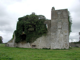
| Cloghan Castle | In the early 1850s Cloghan Castle was in the possession of Richard Burke as agent to the trustees or owners. It is labelled as "in ruins" on the 25-inch Ordnance survey map of the 1890s and a house constructed nearby. A building is still extant at the latter site. | |
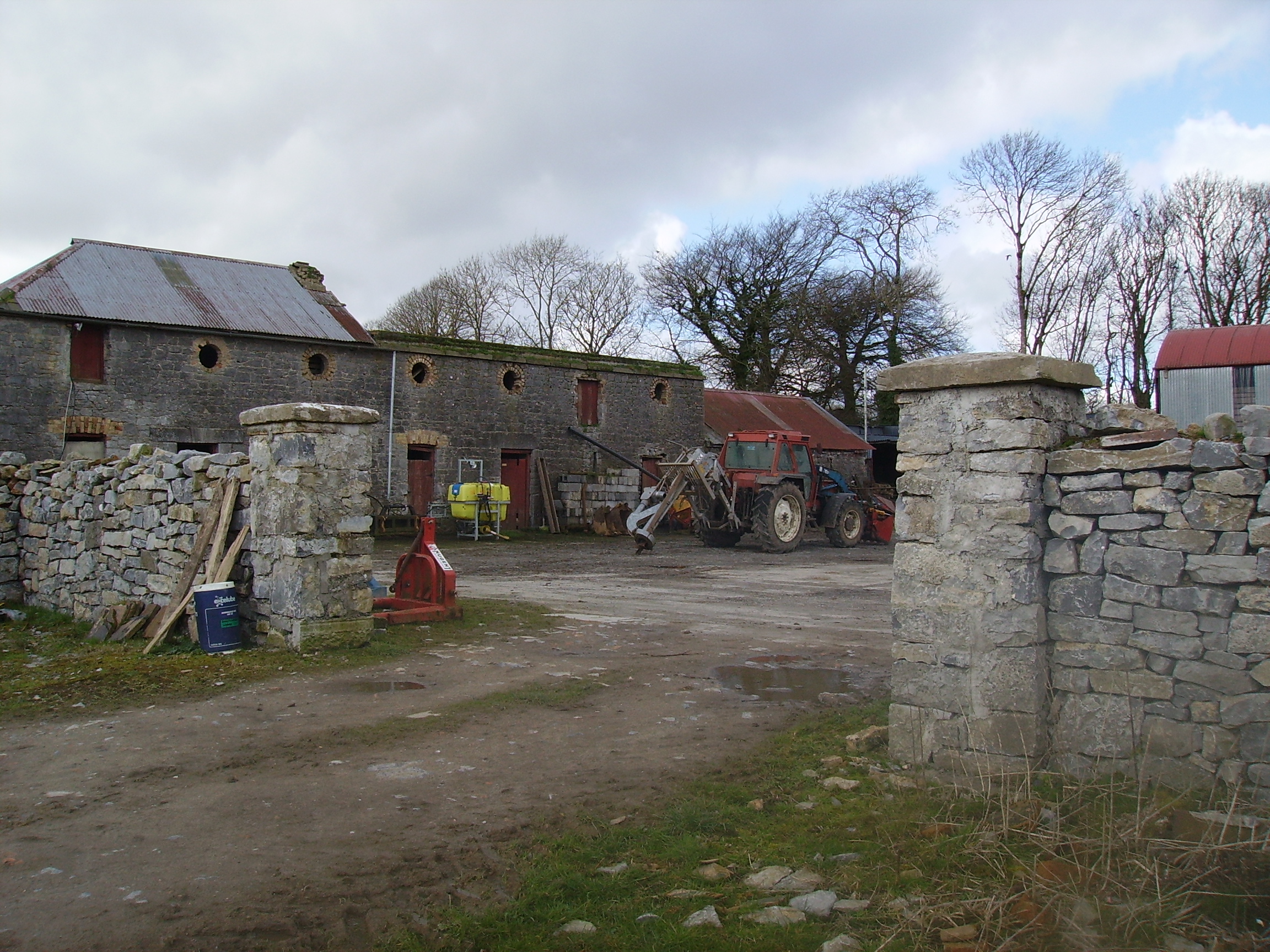
| Kilmore | A house at Kilmore was occupied by the Reverend William Thompson in 1814. Edward Corcoran and John Sadlier held Kilmore valued at £3 in fee at the time of Griffith's Valuation. Edward Kennedy owned the property in the 1870s. The house, which was located just inside the stone pillars, was demolished circa 2004. |
|
| Grange | The Lyster house at Grange was knocked down in the early 19th century after the sale to Farrell and a new one built. | |
| Taghboy House | Built in the 1860s by the O'Rorkes and home to Mary O'Rorke for the rest of the 19th century. Valued at £9.5s in 1906. The last occupants were the Kelly family who were still in residence in the 1930s. | |
| Correal | Built in 1888 by Percy Magan and valued at £35 in 1906. Burnt in 1921 when it was the home of the Walker family. A smaller house was rebuilt. |