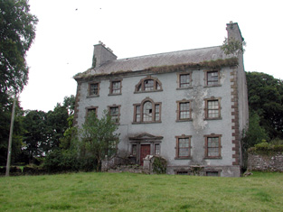
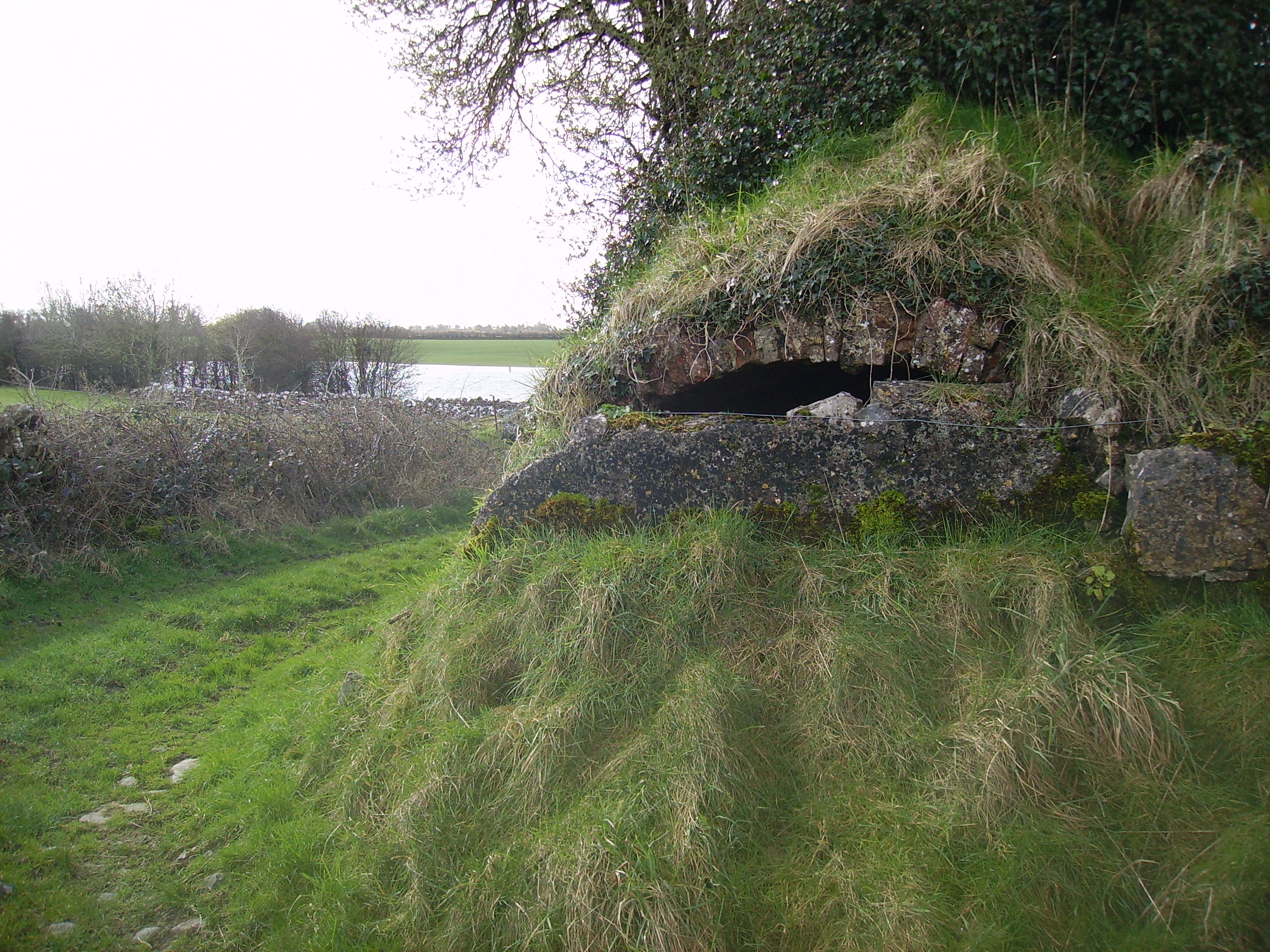
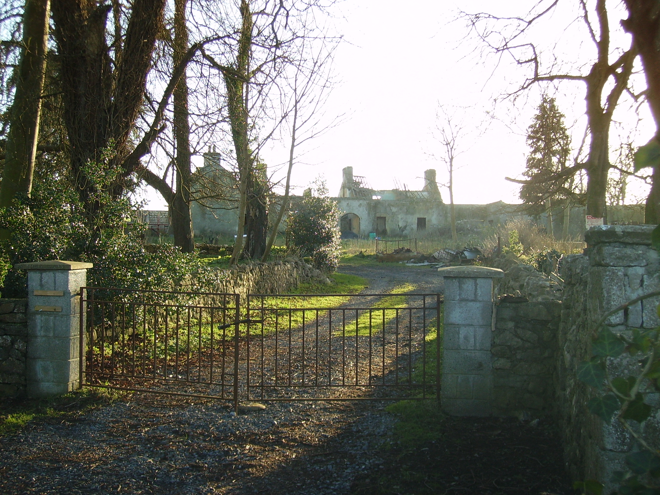
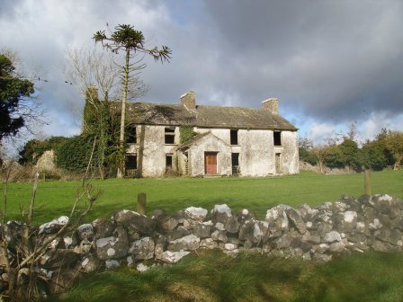
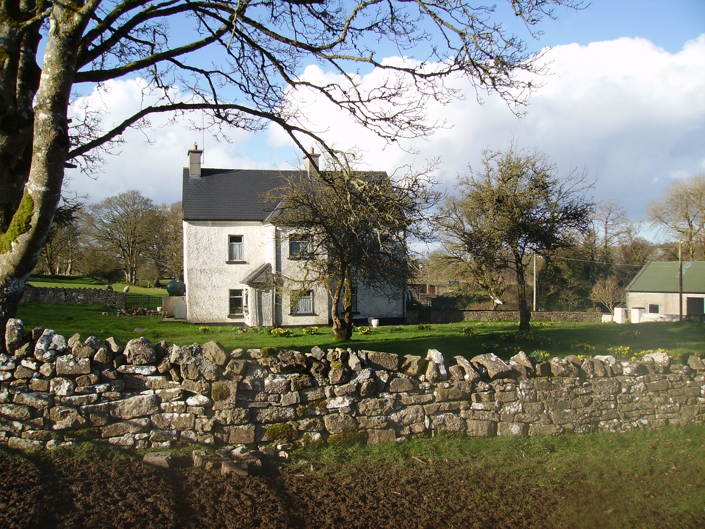
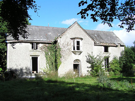
Mountplunkett
Houses within 10km of this house
Displaying 32 houses.
Houses within 10km of Mountplunkett
Displaying 32 houses.
| House name | Description | |
|---|---|---|
| Mote Park | The home of the Crofton family from the 17th century, valued at £140 in 1906. ''Saunders Newsletter'' dated 17 May 1865 refers to a fire at Mote Park which badly burnt the house. The house was demolished in the 1960s. Roscommon Golf Club occupies part of the original Mote Park demesne. |

|
| Lackan | Occupied by James Lyster in 1814 and by Patrick McDonnell at the time of Griffith's Valuation. The house is modernised and still used as a family home. |

|
| Ballymurray House | The Crofton family are originally recorded as 'of Ballymurray'. Ballymurray is the next townland east of Mote Demesne. A house at Ballymurray was occupied by Captain E. W. Kelly in 1837 and by Edmund Kelly in the 1850s, who held the house, valued at £9, from the representatives of James Daly. William Curtis was residing in Ballymurray in the 1870s. The property is labelled "Balymurray House" on the 25-inch Ordnance Survey map of the 1890s. It is no longer extant. | |
| Churchboro | Occupied by Edward Kelly in 1814, E. Kelly in 1837 and by Patrick Grehan at the time of Griffith's Valuation. The house is no longer extant. |

|
| Scregg | A Kelly home built in 1767, occupied by J.E. Kelly in 1837 and Eliza Kelly in the 1850s. In the sale rental of 1856 the house is described as a respectable mansion, 3 stories high with basement and attic stories and a view of the Shannon River. Occupied in 1906 by the representatives of Henry Potts. The house is extant but no longer lived in. It is currently (2009) being restored with support from the Irish Georgian Society, see http://www.igs.ie/Programmes/Conservation-Grants/Scregg-House.aspx |
|
| Rahara | In the 1830s and at the time of Griffith's Valuation the home of Alexander Sproule who held Rahara from the Blake Knox family. The house was originally a thatched one storey building. On the night of the Big Wind in 1839 the thatch was blown away and the house was rebuilt with an additional storey and a slate roof. Now the home of the Donnelly family. |

|
| Longfield | The Sproules were settled at Longfield from the late 17th century. At the time of the first Ordnance Survey described as a house of small dimensions with ruins attached on the south side. Lewis records Longfield as the residence of P. Sproules. The house is now a ruin. |
|
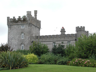
| Moyvannan Castle | 16th century tower house with late 19th century extension. In the sale rental of the Domvile estate 1865 it is described as a handsome and commodious residence. In 1986 Moyvannan was restored by Don Panoz, Chairman of the Elan Corporation. |
|
| New Park | A Lyster home from the early 18th century, inherited by the Smyths of Barbaville through marriage. Held in fee and valued at £38 at the time of Griffith's Valuation. The home of Marcus Anthony Levinge in 1906. The house remained in Levinge hands until about the 1940s when the roof was removed. In the early 1970s the house was restored as a hotel by Paddy Kenny. |

|
| Curraghboy House | Occupied by J. Byrne or Burne in the 1830s and by Thomas W. Jefferson at the time of Griffith's Valuation and still a family residence. |
|
| Lysterfield | Originally a Lyster property that later came into the possession of Lord Ashtown, a descendant of Anthony Lyster. The home of members of the Lyster family until the mid 1830s and occupied by Mr John Burne at the time of the first Ordnance Survey and by Henry Trench in the 1850s. Nothing now remains except some red bricks, possibly part of a fireplace, at the corner of a farmyard. |
|
| Lissygreaghan | Held in fee by J. P. Gannon at the time of Griffith's Valuation when the house was valued at £4.10 shillings. | |
| Kiltoom | Crofton Kelly bought or acquired the Kiltoom property where he built a house in the mid 18th century. Occupied by Thomas H. Strevens who held a number of townlands from Sarah Kelly at the time of Griffith's Valuation and left to him at her death. Kiltoom remained a Strevans home until the 1970s, now a derelict building. |
|
| Rockhill | Occupied by John Burne in 1814 and described as a tolerably good farmhouse at the time of the first Ordnance Survey. Occupied by E. Hodson in 1837 and by Thomas Wilson who held it from James Wilson in the 1850s. Thomas Wilson was still resident in the 1870s. |
|
| Sandfield House | Wilson notes this house as the seat of Mr. Sandys in 1786. The residence of Robert Sandes in 1814 and occupied by Bernard Reilly and valued at £3.10s at the time of Griffith's Valuation. A house is still extant at this location. | |
| Kellybrook | Wilson records this house as a Kelly residence in 1786. The seat of Denis Kelly in the 1830s and of Jane Kelly in the 1850s who held the property from Esther Dillon and the representatives of Maria Boswell. The house was valued at £3. Still occupied by a family named Kelly. |
|
| Carrownure House | In the mid 1850s valued at £20 and owned by Richard Bond in fee, who advertised it for sale in 1856. Described as a modern edifice on the shore of Lough Ree. The sale rental includes a lithograph. Bought by Bernard William Bagot in 1858 from Edward John Irwin. Sold by the Bagots to Samuel Auchmuty in 1903. Owned by the Auchmutys in the 20th century and known as Carnure House. |

|
| Galeybeg | Occupied by Mr Bart Purdue in 1814 and in the 1830s described as a gent's seat belonging to Mr Bond with a neat demesne attached. The sale rental of 1856 states that it was built by the Reverend James Bond. In the 1850s held by Richard Bond in fee from the Court of Chancery and described as a herd's house with office. The home of Benjamin Greene in 1906. Occupied until the late 20th century, now derelict. |
|
| Gort | A home of the O'Kellys in the mid 18th century. Occupied by "Doyle esquire" in 1778 and 1786 and by Simon J. Dowell in 1814. The house is labelled Gort on the 1st edition Ordnance Survey map but is not named on the 25-inch edition of the 1890s. The townland was in the possession of Elizabeth Dowell at the time of Griffith's Valuation when she was leasing a house valued at £4 10s to Michael Kelly. Some ruins exist at the site now. | |
| Johns Port | The residence of Maurice Hodson in 1814 and at the time of Griffith's Valuation held by John Hodson in fee. It is no longer extant. | |
| Johns Port House | At the time of Griffith's Valuation owned by Alexander Gunning in fee and valued at £10. Labelled Johnsport House on the 1st edition Ordnance Survey map and as St. John's House on the later 25-inch edition of the 1890s. It is still extant and offers guest accommodation. See www.stjohnshouse.biz. |

|
| Ardmullan | Built post 1838 and described as a steward's house at the time of Griffith's Valuation when it was occupied by Thomas Pim junior who held it in fee. A mansion valued at £23 was still in the possession of Thomas Pim in 1906. The house no longer exists but some of the yard buildings remain. |
|
| Grange | The Lyster house at Grange was knocked down in the early 19th century after the sale to Farrell and a new one built. | |
| Kilmore | Originally a Shaen property which passed by marriage to the Carters. A house and 4 acres were leased by Sir Arthur Shaen to William Hartly on 3 Aug 1706 (see sale rental 1855). In 1749, 1778 and 1786 it was occupied by the Waller family. The house was a ruin by the 1830s. | |
| Lisbride | Occupied by John B. Purdon in 1814 and in 1822 by Arthur Browne. Patrick Duignan was resident at the time of Griffith's Valuation, when the house was valued at £12. A house still exists at the site. | |
| Kilteeven House | Still occupied by the Mapothers in 1906, when the house was valued at £20. Some ruined buildings remain at this site. |
|
| Carrowmore | Carrowmore was occupied by John Davis at the time of Griffith's Valuation, when it was valued at £8 and leased from the Gunning estate. It is labelled Carrowmore House on the 25-inch Ordnance Survey map of the 1890s. A house still exists at the site. | |
| Ballagh | The residence of John Kelly in 1814. At the time of Griffith's Valuation, there is no house with a substantial valuation in the townland, which was the property of "Bernard Kelly, a minor, in chancery". | |
| Newpark House (Rathcline) | Luke Bushe Fox held a property in fee here at the time of Griffiths Valuation in the early 1850s, with a valuation of almost £3. The original property in Newpark townland is labelled Newpark House on the 6” OS map. It appears to have become ruinous later. By the end of the 19th century Cordara House had been constructed at a different site in the same townland. It has since been demolished though some estate buildings remain at the site. In 1837 Lewis had recorded Newpark House as the seat of a Captain W.J. Davys. | |
| Newtown Parochial House | At the time of Griffiths Valuation in the 1850s, this house was occupied by Reverend Nicholas O’Flanagan, leasing from Colonel Henry White. The property was valued at £10. The National Built Heritage Service suggests that the house was built at the same time as the adjacent church in 1833, described in the Ordnance Survey Name Books as 'a splendid new chapel'. It is still extant and occupied. |
|
| Ballyorney House | Ballyorney House is labelled on the 25-inch Ordnance Survey map of the early 20th century. At the time of Griffiths Valuation in the early 1850s, the house at this site was leased by John Boswell from Thomas Dennehy’s estate and was valued at £4. The National Built Heritage Service suggests the house at the site now was built in the 1880s. It is extant but derelict. |
|
| Cordara House | By the end of the 19th century Cordara House had been constructed at a different site in Newpark townland. It has since been demolished though some estate buildings remain at the site. |
|