Stuart
At the time of the first Ordnance Survey, James Stuart held townlands in the parish and barony of Burrishoole, county Mayo, from Sir Richard O'Donel, the Marquess of Sligo and Sir William Palmer.
Houses
| Name | Townland | Civil Parish | PLU | DED | Barony | County | Map Ref | |
|---|---|---|---|---|---|---|---|---|
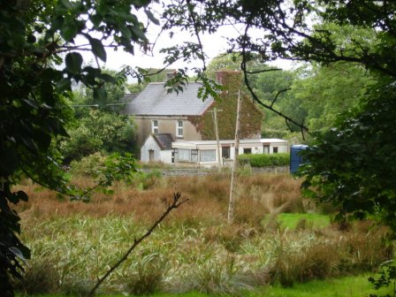
| Ardagh Lodge | Ardagh | Burrishoole | Newport | Newport East 147 | Burrishoole | Mayo |
OSI Ref: L942 944
OS Sheet: 67 Discovery map: 31 |
|
| Teevmore | Teevmore | Burrishoole | Newport | Derryloughan 145 | Burrishoole | Mayo |
OSI Ref: L977 938
OS Sheet: 67 Discovery map: 31 |
|
Map of Estate Houses
Click on the markers to view more details about each house.
Contemporary printed sources
- ORDNANCE SURVEY NAME BOOKS, County Mayo: Vol II, 124