Barony: Moygoish
Houses
Displaying 18 houses.
| Name | Townland | Civil Parish | PLU | DED | Barony | County | Map Ref | |
|---|---|---|---|---|---|---|---|---|
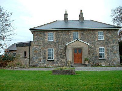
| Grange Hall | Ballyhoreen | Kilbixy | Mullingar | Kilbixy 55 | Westmeath |
OSI Ref: N334597
OS Sheet: 11 Discovery map: 41 |
|
|
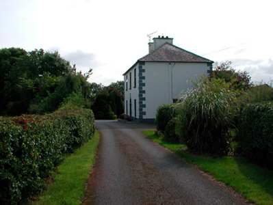
| Ballysallagh House | Ballysallagh (Fox) | Kilbixy | Mullingar | Sonna | Westmeath |
OSI Ref: N312591
OS Sheet: 6 Discovery map: 47 |
|
|
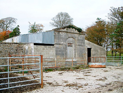
| Baronstown | Baronstown Demesne | Kilbixy | Mullingar | Kilbixy 55 | Westmeath |
OSI Ref: N328623
OS Sheet: 11 Discovery map: 47 |
|
|
| Oran Vale | Cumminstown | Kilbixy | Mullingar | Kilbixy 55 | Westmeath |
OSI Ref: N313611
OS Sheet: 11 Discovery map: 47 |
||
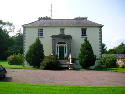
| Willybrook/Willifield | Cumminstown | Kilbixy | Mullingar | Kilbixy 55 | Westmeath |
OSI Ref: N311600
OS Sheet: 11 Discovery map: 47 |
|
|
| Kill House | Kill | Kilbixy | Mullingar | Sonna | Westmeath |
OSI Ref: N337577
OS Sheet: 11 Discovery map: 47 |
||
| Rath House | Rath | Kilbixy | Mullingar | Kilbixy 55 | Westmeath |
OSI Ref: N315605
OS Sheet: 11 Discovery map: 47 |
||
| Tristernagh House | Tristernagh Demesne | Kilbixy | Mullingar | Kilbixy 55 | Westmeath |
OSI Ref: N332616
OS Sheet: 11 Discovery map: 47 |
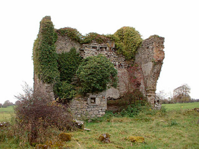
|
|
| Rockfield/Cromlyn | Crumlin or Rockfield | Rathaspick | Mullingar | Glenlough | Westmeath |
OSI Ref: N296658
OS Sheet: 5 Discovery map: 41 |
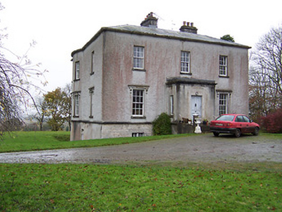
|
|
| Ardglass House | Joanstown | Rathaspick | Mullingar | Glenlough | Westmeath |
OSI Ref: N331652
OS Sheet: 6 Discovery map: 41 |
||
| Newpark Lodge | Joanstown | Rathaspick | Mullingar | Glenlough | Westmeath |
OSI Ref: N328662
OS Sheet: 6 Discovery map: 41 |
||
| Knocknacreeve House | Parcellstown | Templeoran | Mullingar | Portloman 56 | Westmeath |
OSI Ref: N363546
OS Sheet: 18 Discovery map: 41 |
||
| Sonna | Sonna Demesne | Templeoran | Mullingar | Sonna 59 | Westmeath |
OSI Ref: N348575
OS Sheet: 11 Discovery map: 41 |
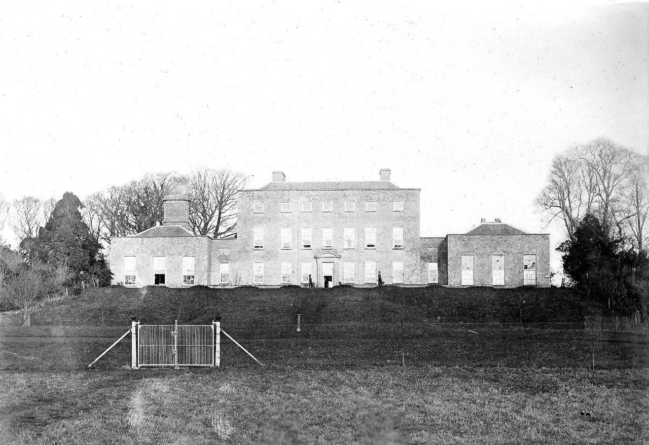
|
|
| Newpass | Newpass Demesne | Rathaspick | Granard | Rathowen | Westmeath |
OSI Ref: N296680
OS Sheet: 5 Discovery map: 41 |
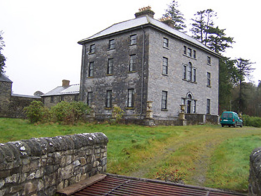
|
|
| Kildevin | Ballykildevin | Street | Granard | Street | Westmeath |
OSI Ref: N348722
OS Sheet: 2 Discovery map: 41 |
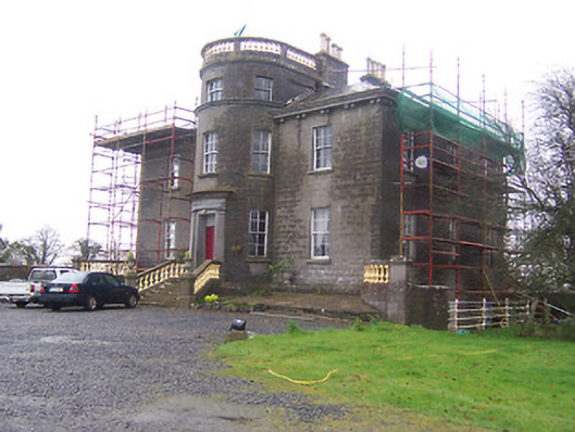
|
|
| Coolamber | Coolamber | Street | Granard | Coolamber | Westmeath |
OSI Ref: N351735
OS Sheet: 2 Discovery map: 41 |
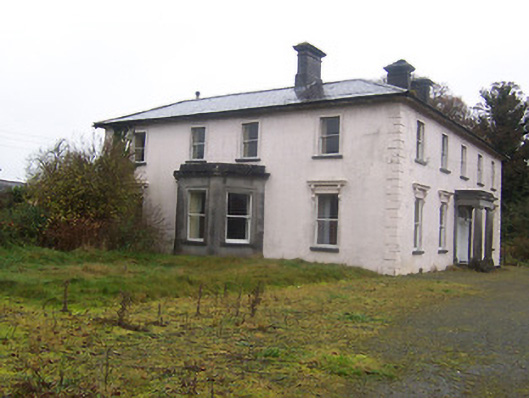
|
|
| Daramona House | Cornacausk | Street | Granard | Street | Westmeath |
OSI Ref: N334710
OS Sheet: 2 Discovery map: 41 |
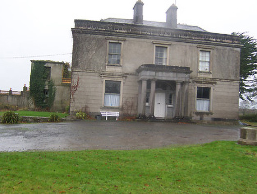
|
|
| Kilmore House (Moygoish) | Kilmore | Street | Granard | Street | Westmeath |
OSI Ref: N333721
OS Sheet: 2 Discovery map: 41 |

